701
Tracking on the Lovozero Tundra
The next holiday was decided to hold the march. To choose between the Khibiny and Lovozero Tundra. Familiar advised to walk on the tundra, so I will tell you how I saw it.
50 photos will be desirable not to break. gallery much more planned and more movie to make. But in order not to burden you selected bit. In some places, I will rely on Wikipedia.
Little wiki:
Lovozero Massif - mountain massif on the Kola Peninsula in the Murmansk region in Russia.
Located between Lovozero and Umbozero. Tops flat, rocky, height up to 1120 meters on Mount Angvundaschorr. Forest vegetation at the tops missing. The slopes are steep, covered the bottom of the coniferous forests. Stacked nepheline syenites.
In the area of the mountain range - Lovozero mine rare earth metals. Huge reserves of zirconium resources (eudialite), as well as rare collection minerals.
In the center of the array is Seydozero, which together with the surrounding valleys and slopes of the mountains is a nature reserve.
Lovozero Massif mountain range since ancient times was considered a "place of power" of the ancient Saami (Lapps). Drevnesaamskie seids Lovozero have a high cultural and ethnographic value.
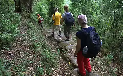
Gathering point is the town of Olenegorsk from which we have taken to the starting point of the route. On the first day we stopped in the area of mine Karnasurt where dropped backpacks and went up the mountain to see the Alluaivite Circuses Raslaka.
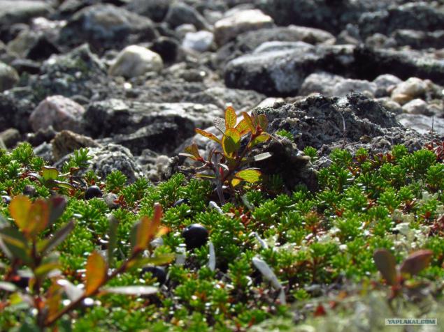
On the way up the mountain (and indeed of the whole route) we saved berry. The photo berry "crowberry". To taste a little bitter, but very juicy - saved from thirst.
Looking ahead - drinking water from the river, but when the river was not - was a berry.
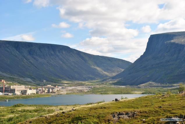
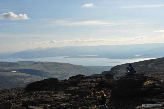
Already at the top. Around the lake. We photograph.
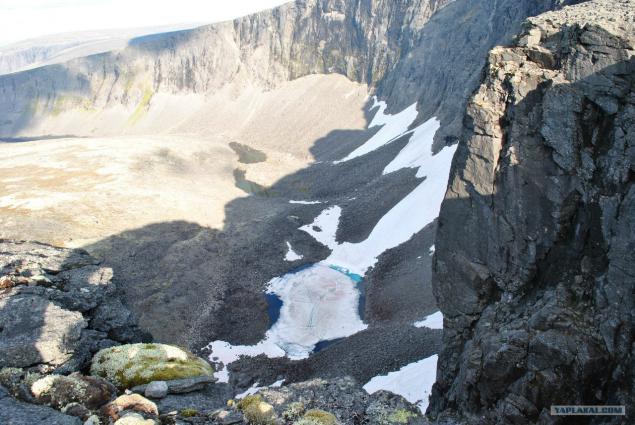
After going more than 7 km reached the place. At the bottom of a frozen lake, water blue and blue.
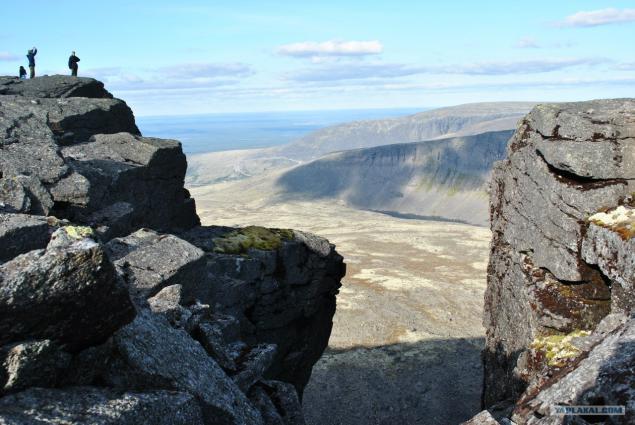
The following is an open
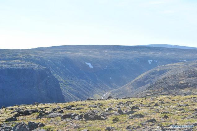
On the second day we've gone with ryukzami in his first pass, Elmorayok. Downstairs is running some kind of river
We are waiting for the road ahead, to the sacred lake Seydozero.
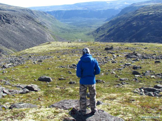
Well, that's got to the lake. Why is sacred?
Source:
50 photos will be desirable not to break. gallery much more planned and more movie to make. But in order not to burden you selected bit. In some places, I will rely on Wikipedia.
Little wiki:
Lovozero Massif - mountain massif on the Kola Peninsula in the Murmansk region in Russia.
Located between Lovozero and Umbozero. Tops flat, rocky, height up to 1120 meters on Mount Angvundaschorr. Forest vegetation at the tops missing. The slopes are steep, covered the bottom of the coniferous forests. Stacked nepheline syenites.
In the area of the mountain range - Lovozero mine rare earth metals. Huge reserves of zirconium resources (eudialite), as well as rare collection minerals.
In the center of the array is Seydozero, which together with the surrounding valleys and slopes of the mountains is a nature reserve.
Lovozero Massif mountain range since ancient times was considered a "place of power" of the ancient Saami (Lapps). Drevnesaamskie seids Lovozero have a high cultural and ethnographic value.
Gathering point is the town of Olenegorsk from which we have taken to the starting point of the route. On the first day we stopped in the area of mine Karnasurt where dropped backpacks and went up the mountain to see the Alluaivite Circuses Raslaka.

On the way up the mountain (and indeed of the whole route) we saved berry. The photo berry "crowberry". To taste a little bitter, but very juicy - saved from thirst.
Looking ahead - drinking water from the river, but when the river was not - was a berry.

Already at the top. Around the lake. We photograph.

After going more than 7 km reached the place. At the bottom of a frozen lake, water blue and blue.

The following is an open

On the second day we've gone with ryukzami in his first pass, Elmorayok. Downstairs is running some kind of river

We are waiting for the road ahead, to the sacred lake Seydozero.

Well, that's got to the lake. Why is sacred?
Source:
