1142
Belarus top
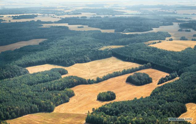
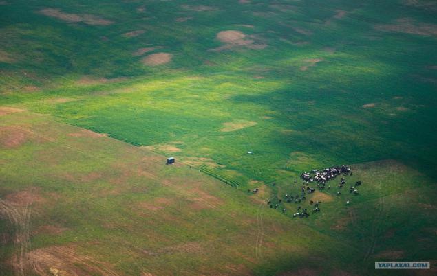
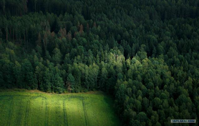
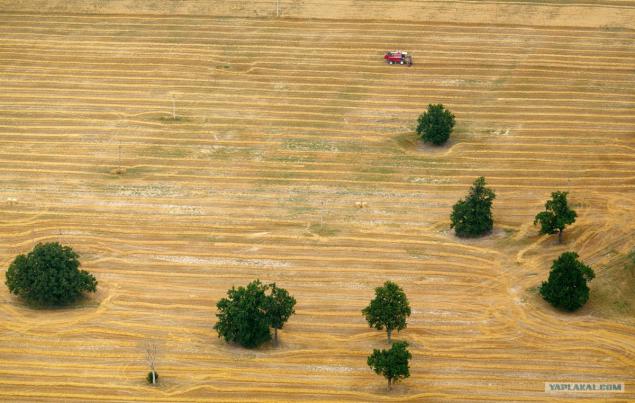
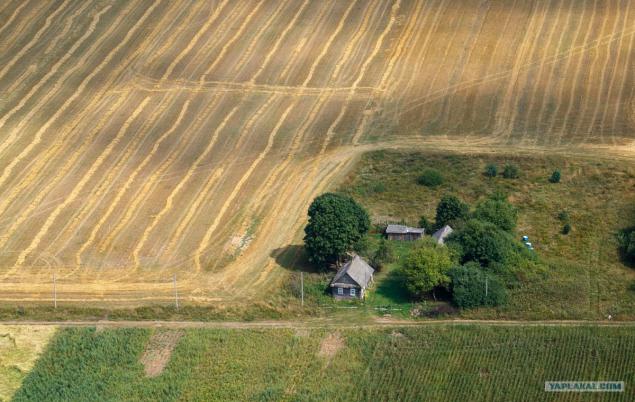
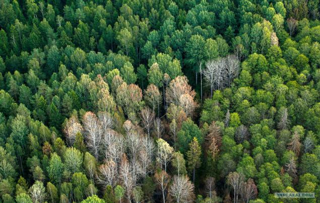
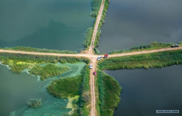
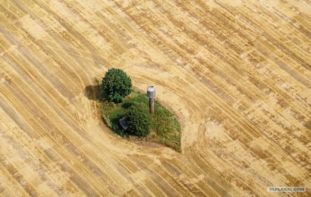
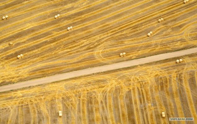
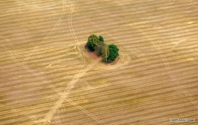
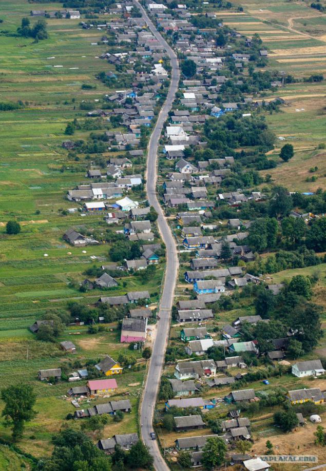
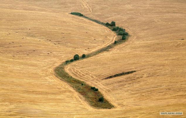
Due to the steady hot and dry weather of the state enterprise employees' Bellesavia "daily overfly the territory of Belarus. The task of the rescuers - to detect a fire at an early stage, while its dimensions do not exceed 10 acres. Do it without the help of air is practically impossible.
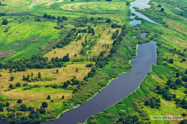
Today, under the Ministry of Emergency Situations are 12 units "Bellesavia».
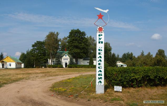
Molodechno office based near the village Hozhevo controls territory in central and northern part of the Minsk region. Daily route detour - 626 kilometers, but it is if you are lucky and do not show up in the area of several fires. Rescuers say that in the last month there were days when fixed to 7 fires for departure.
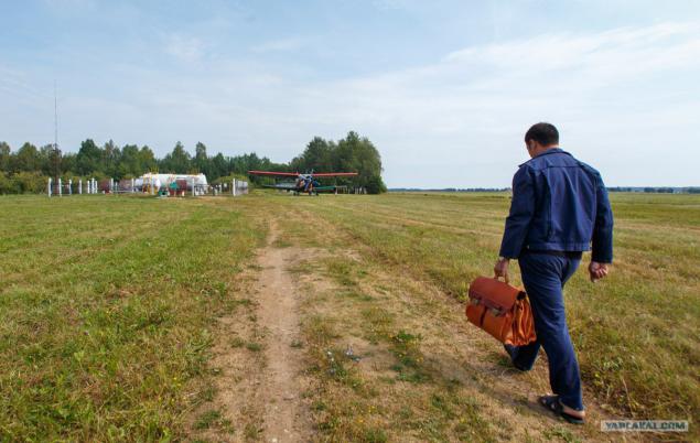
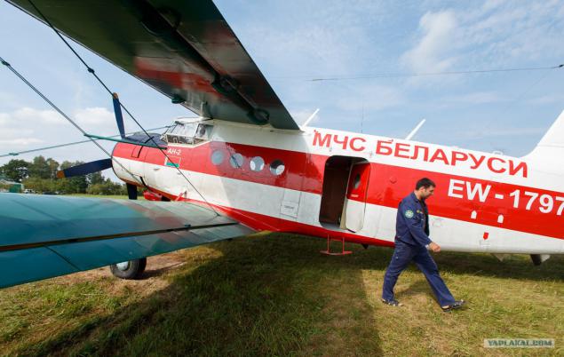
The rains, which began over the weekend, rescuers work a little easier - part of a standard patrol route was cut. Our flight took place in an old but reliable AN-2 at an altitude of 300-500 meters and took about 5 hours.
1. Photo
2. Photo
3. Photo
4. Photo
5. Photo
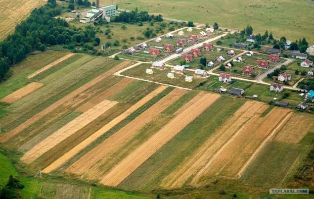
6. Photo
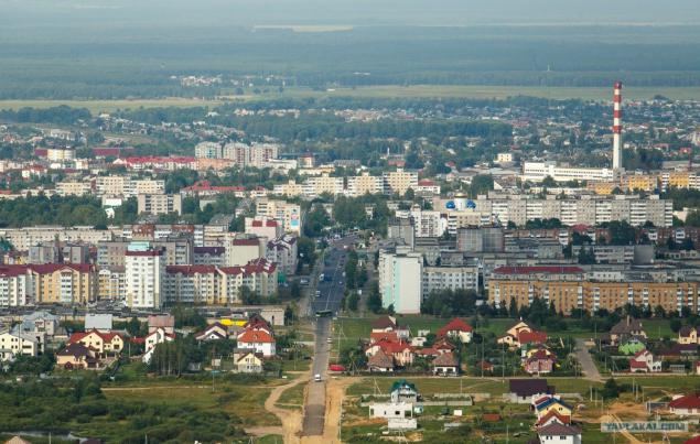
The first major city on the route - Volozhin.
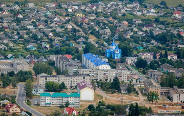
7. Photo
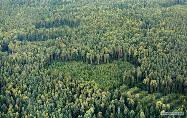
Piece Nalibokskaya Forest route - a forest stretching to the horizon
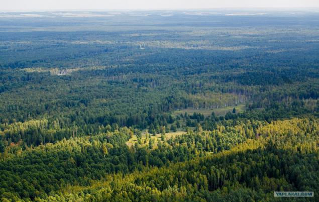
8. Photo
Wind power on the M1 in Columns
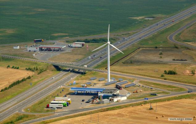
9. Photo
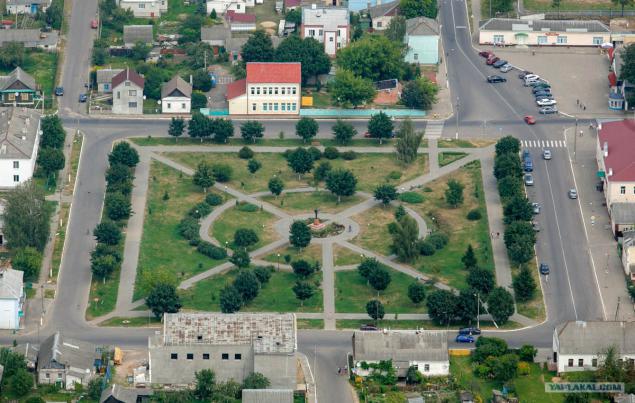
Lenin Square in the column. The leader of the points north.
10. Photo
11. Photo

12. Photo
13. Photo

14. Photo
15. Photo

16. Photo
17. Photo
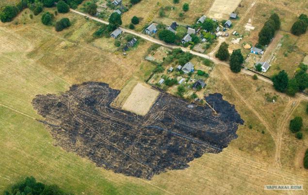
Burned-out field after the fire.
18. Photo
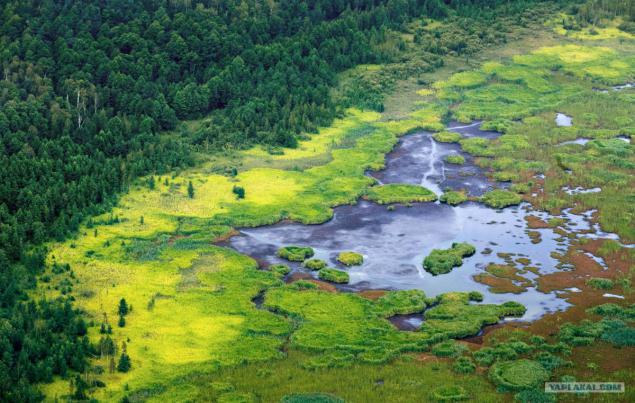
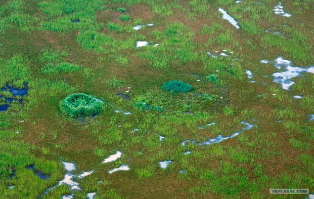
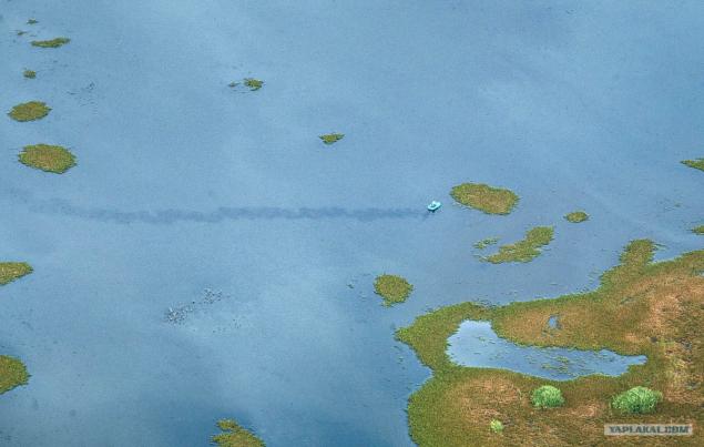
Great Swamp, located in Krupki area.
19. Photo
20. Photo
21. Photo
22. Photo
23. Photo
24. Photo
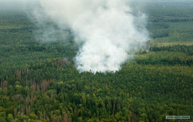
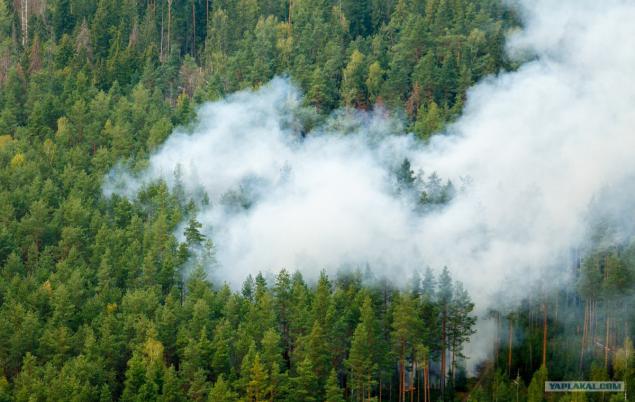
Somewhere 2 hours after the start of overflight find fire on the territory Krupsk area. Size of ignition - 3 weave
25. Photo
26. Photo

27. Photo
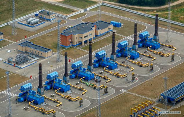
Near Borisov is gas distribution station "Beltransgaz", which among other things is equipped with its own helipad. "Gas workers" are helicopters "Bellesavia" for transit flights over the territory of the pipe.
28. Photo
29. Photo
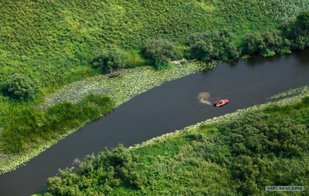
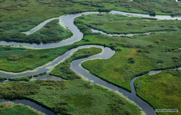
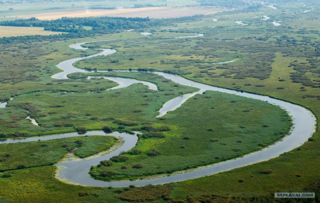
Perhaps the most beautiful place on the route - a tributary of Lake Palik in Borisov district
30. Photo
31. Photo
32. Photo
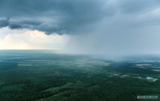
Thunderhead over Vileika reservoir makes us turn from the planned route
33. Photo
34. Photo
35. Photo
36. Photo
37. Photo
38. Photo
39. Photo
40. Photo
41. Photo
Endpoint route - Molodechno.

Today, under the Ministry of Emergency Situations are 12 units "Bellesavia».

Molodechno office based near the village Hozhevo controls territory in central and northern part of the Minsk region. Daily route detour - 626 kilometers, but it is if you are lucky and do not show up in the area of several fires. Rescuers say that in the last month there were days when fixed to 7 fires for departure.

The rains, which began over the weekend, rescuers work a little easier - part of a standard patrol route was cut. Our flight took place in an old but reliable AN-2 at an altitude of 300-500 meters and took about 5 hours.

1. Photo

2. Photo

3. Photo

4. Photo

5. Photo

6. Photo
The first major city on the route - Volozhin.

7. Photo
Piece Nalibokskaya Forest route - a forest stretching to the horizon

8. Photo
Wind power on the M1 in Columns

9. Photo
Lenin Square in the column. The leader of the points north.

10. Photo

11. Photo

12. Photo

13. Photo

14. Photo

15. Photo

16. Photo

17. Photo
Burned-out field after the fire.

18. Photo
Great Swamp, located in Krupki area.

19. Photo

20. Photo

21. Photo

22. Photo

23. Photo

24. Photo
Somewhere 2 hours after the start of overflight find fire on the territory Krupsk area. Size of ignition - 3 weave

25. Photo

26. Photo

27. Photo
Near Borisov is gas distribution station "Beltransgaz", which among other things is equipped with its own helipad. "Gas workers" are helicopters "Bellesavia" for transit flights over the territory of the pipe.

28. Photo

29. Photo
Perhaps the most beautiful place on the route - a tributary of Lake Palik in Borisov district

30. Photo

31. Photo

32. Photo
Thunderhead over Vileika reservoir makes us turn from the planned route

33. Photo

34. Photo

35. Photo

36. Photo

37. Photo

38. Photo

39. Photo

40. Photo

41. Photo
Endpoint route - Molodechno.

