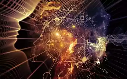
545
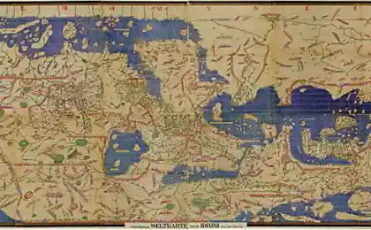
The mystery of the Mercator map of 1538
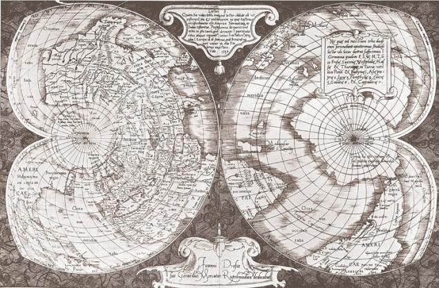
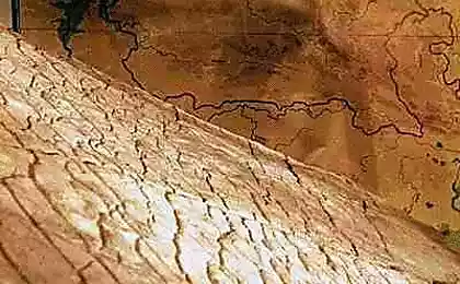
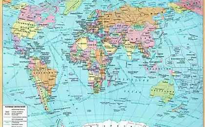
This amazing map was painted in 1538 by Gerhard Mercator – highly respected cartographer who lived in the 16th century. His work is quite famous and you can still buy a Mercator Atlas in the store. Gerhard Mercator was known to periodically update their work and created new, more detailed atlases of the world, as more and more banks opened the mariners, and he received more and more accurate data. During one such update, his world map of 1538 (shown in figure above) was replaced by a new one in 1569. And surprisingly, the map of 1538 was not only more accurate than the later, but also contained the correct measurements of longitude.
To understand the significance of this fact, it should be noted that the calculation of longitude is much more complicated than the computation of the latitude, which can be determined by observations of the stars and the Sun. Calculating longitude requires the solution of the equation "Distance = speed multiplied by time" and, more importantly, the exact hours. The determination of longitude at the time was called "the greatest problem of Maritime navigation" and in 1700-ies in England, established a special Committee of longitude, it is designed to solve this problem. In 1714, sir Isaac Newton appeared before the Committee and explained that the true root of the problem is that the "clock is needed to measure this exactly, just not yet invented." The Queen of England then established the award in 200 thousand pounds to the person who will be able to build such a watch, and finally, in 1761, one Harrison received this award and put forth his prototype chronometer which then "opened the world a new era of sea travel". During the 19th century maps were updated for the correct measurements of longitude.
However, the Mercator map was marked the exact longitude in 1538 for 223 years before it was opened. Where did he get this information? It is obvious that Mercator himself had at that time no knowledge of longitude and had to get this information from some other source, since the next card has been marked invalid values – and so their source was considered to be more reliable. These cards are fraught with a big mystery – if the people of antiquity never made a trip around the world and did not have any knowledge on the geographical longitude, as these cards all came to light? The answer to this question we do not know.
source
Source: /users/413