1746
Ask Ethan # 4: The strange astronomical maps
I have an existential map of the entire surface of which it is written, "You are here».
Steven Wright i>
A reader asks:
Maps of the cosmic background radiation look like a flat oval. How does this compare with the views of the sky, which is a sphere? For example, a map of the Earth can be either distorted to show us the world in two dimensions or cut into slices. In what part of the sky we see, looking at the map of the FSC? It is distorted? And if it is only part of the sky - is not passed there any important information?
He talks about these pictures:
Hard to believe, but there really is encrypted the entire sky.
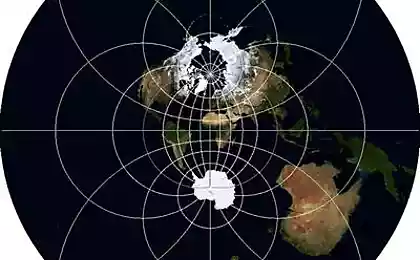
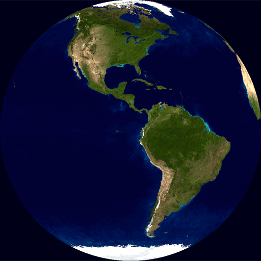
Imagine the Earth:
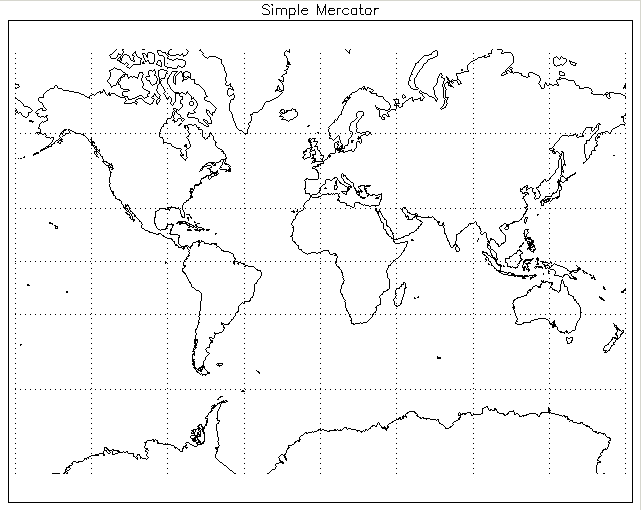
These cards you used to. If you live in the US, used to the fact that North America is usually located in the center of the map. If UK then used that the card is centered so that France cut on both sides.
These cards are generally accepted, and at the same time, it is inaccurate. You will be surprised that Africa is more than twice the Antarctica, South America more than Russia, and Australia three times more Greenland. This is all due to the fact that the surface of the Earth is not flat, and located on the sphere.
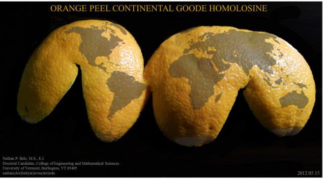
If you try to deploy the surface of the sphere, nothing good will come of it. Take the orange, clean it and try to straighten a skin on the table. At best, you'll get something like this:
When unfolded the sphere on the plane have to sacrifice something. If you insist on the production of a flat card, you can make a map of the United perpendiculars latitude and longitude, but it would be inaccurate. This is called Mercator.
Distortion areas in Mercator i>
You can save the orderly presentation and squareness of latitude and longitude, if we neglect the connectedness of the maps - as in the example with the orange peel.
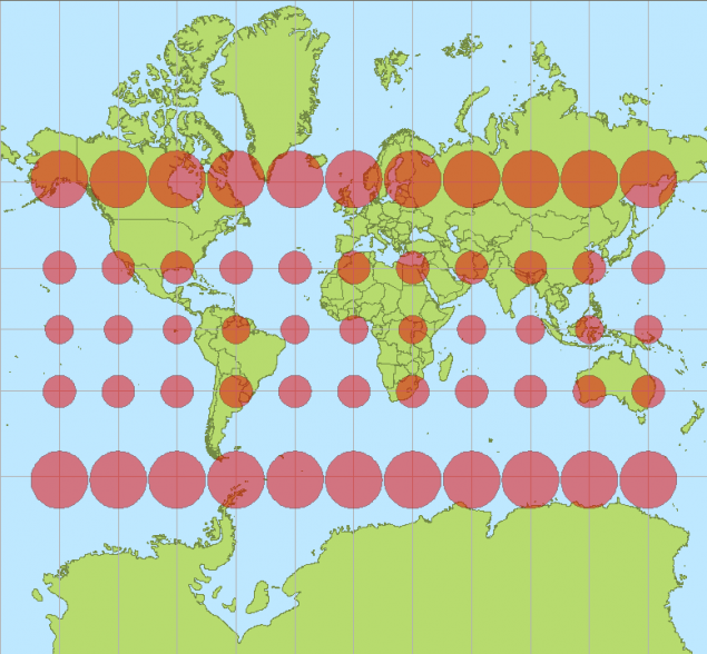
It is possible to reach a compromise, clutching with increasing latitude longitude:
It's pretty uncomfortable, but it is convenient and does not do. You can not save the squareness of latitude and longitude, the accuracy of representations and connectivity card - surface of a sphere can not be spread perfectly.
This is true for maps of the Earth, and is true for maps of the sky.
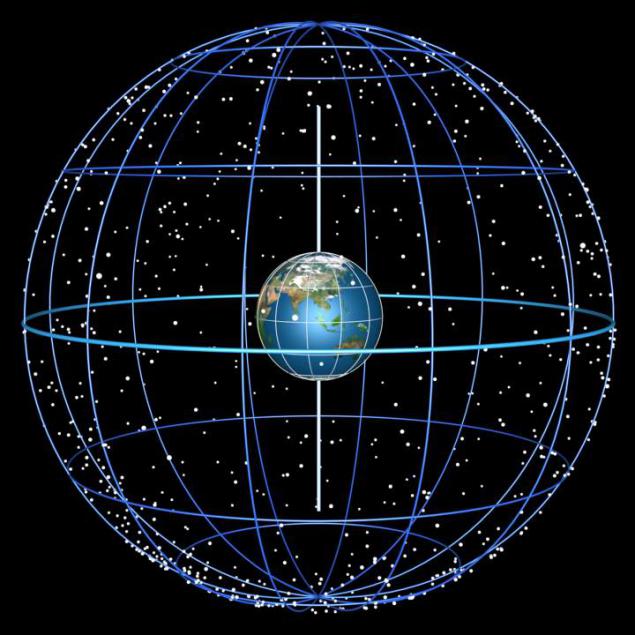
What would we do with the imaging of the sky, something will have to sacrifice. The only question is, what exactly.
Since the critical dimensions astronomy, then, we can not sacrifice. It is also important to preserve the coherence of the picture - in space there are no gaps. It remains neglected perpendicularity of latitude and longitude (right ascension and declination as they are called in astronomy), so that the angles and shapes will be represented accurately. This can be done with a map of the Earth:
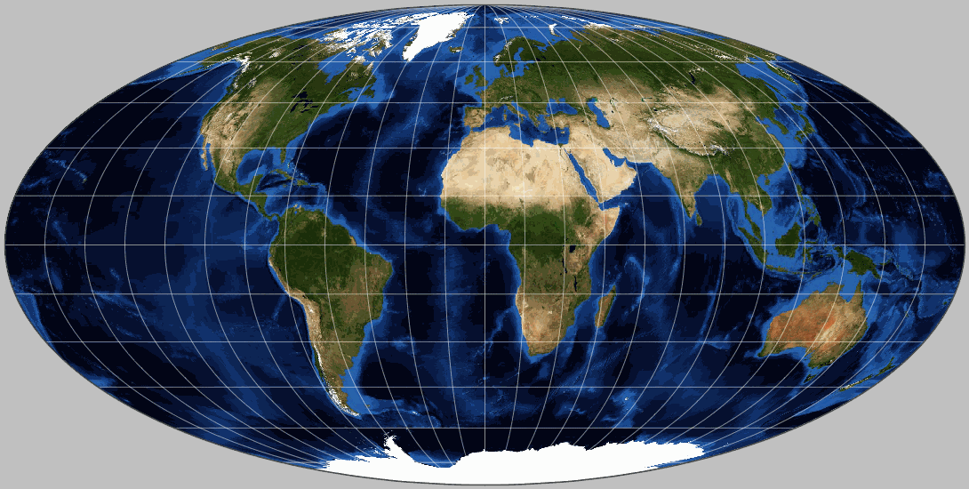
Such a method is called projection Mollveyde, and if you remember that, as I told you earlier:
Africa more than twice the Antarctic South America over Russia Australia three times the Greenland
then it would be easier to believe, looking at this projection. That's how we are doing with the sky - we use this projection for the two-dimensional representation.
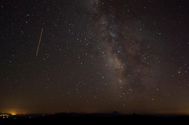
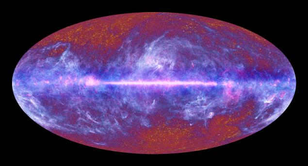
Instead of showing the photo of the sky:
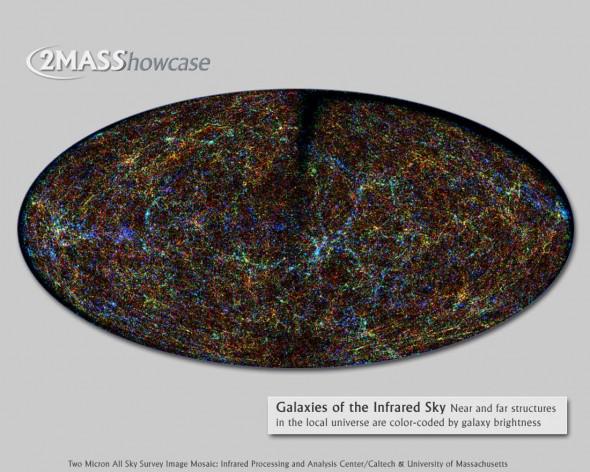
we show you everything at once in galacto-centric projection Mollveyde:
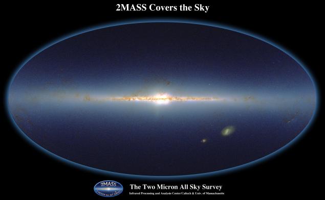
Planck telescope peered into the microwave part of the spectrum, and saw all the radiation from all sources in the sky, including the galaxies, the zodiacal light and dust, as well as prehistoric cosmic glow of the Big Bang.
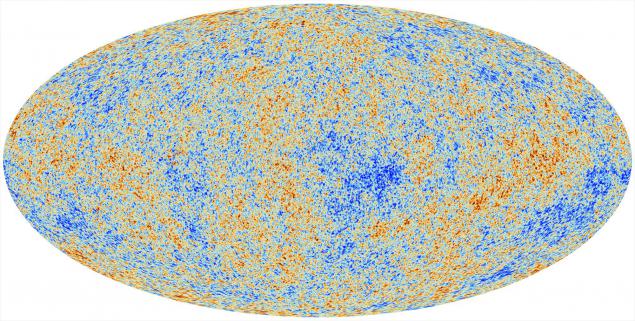
Finally, subtracting the galactic light, average temperature blackbody 2 725 K
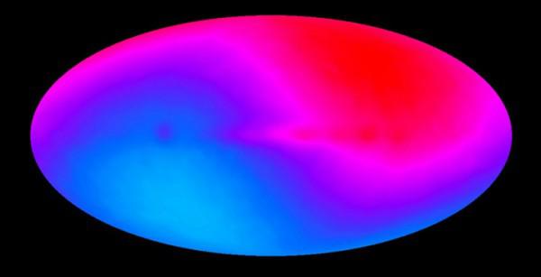
FSC, and our movement through the universe
we can see an important part of the residual radiation FSC.
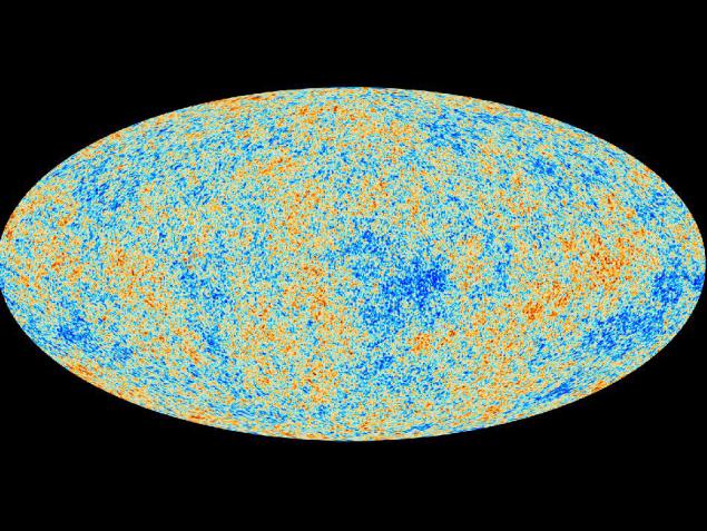
We break it into components using spherical harmonics, analyze and come to know the universe. All this is done in the projection Mollveyde and therefore celestial maps look exactly alike. They did not missed - you can see the entire sky at once. This just need a little getting used to.
Source: geektimes.ru/post/252312/