1539
Baikal helicopter
Writes gelio (Stepanov Slava)
Lake Baikal - the deepest lake in the world, located in Eastern Siberia. It is the largest reservoir of fresh water in the world that has a tectonic origin (lake appeared at the junction of two plates). Because of the large size of the Baikal is often called the sea: it has an area of more than 23 thousand. Km2, and its maximum depth is 1,642 meters.
Lake Baikal - the place with a unique nature, which annually attracts thousands of tourists from Russia and from abroad. In this post, removed some of the most popular and picturesque places of Lake Baikal: Listvyanka, Circum-Baikal Railway and Olkhon Island.
61 photos.
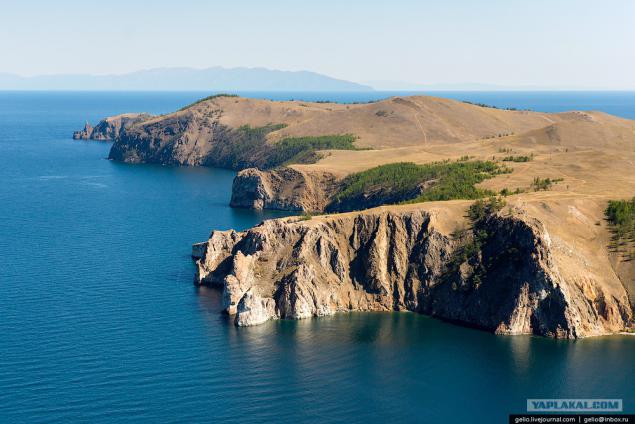
By area, the water table Baikal ranks sixth among the largest lakes in the world.
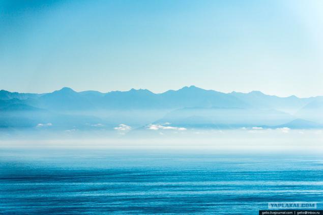
Olkhon Island
The largest and only inhabited island on Lake Baikal. Length - 71 km, width - 12 km.
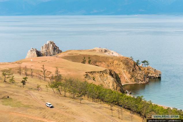
From the north-western shore of the lake forms the Small Sea and the Straits Olkhon Gate.
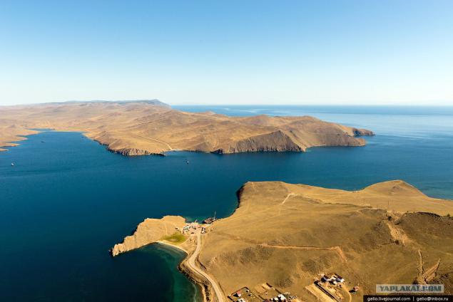
To get to the island of Olkhon possible via a ferry.
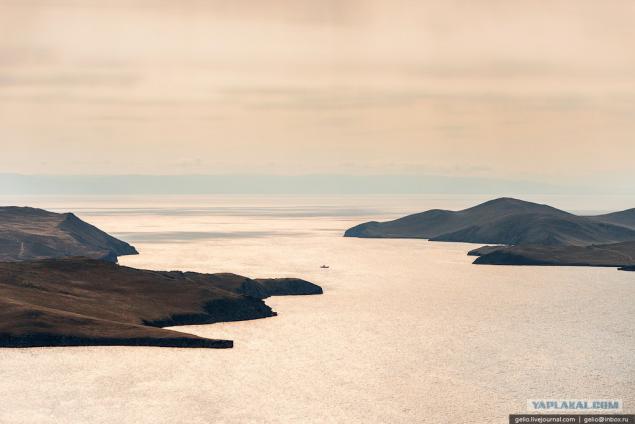
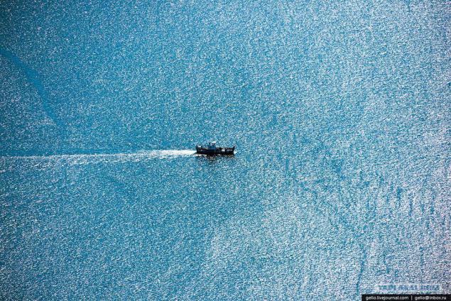
Currently there are two ferries - "Dorozhnik" and "Olkhon Gates".
Go the whole day with an interval of about an hour.
...
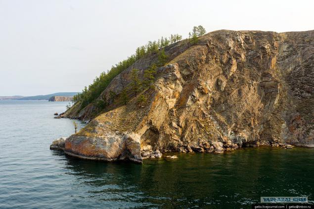
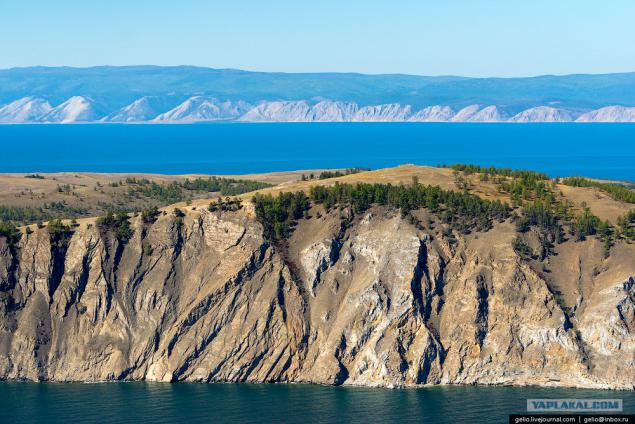
On the island meets all the diversity of landscapes of nature: the steppe, sandy beaches with dunes, hills and groves along the coast, as well as marble rocks and swamps.
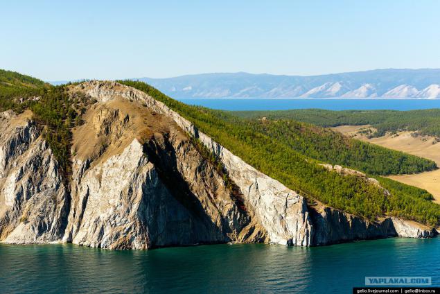
Cape Sagan Khushun
The length of the cape is about 1 km height above the lake 100 m.
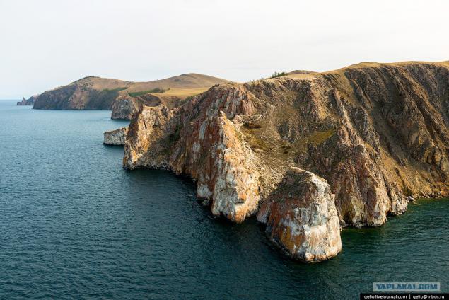
Marble
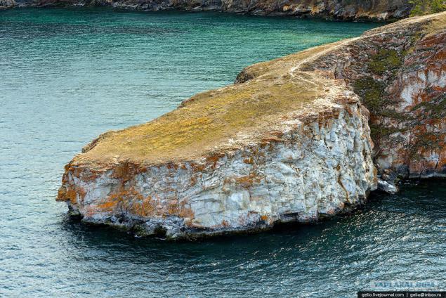
In the west of Cape rock falls into a group of rocks that are called "Three Brothers".
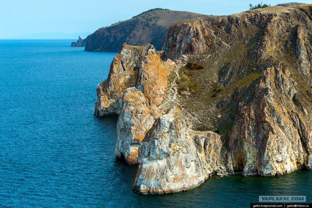
...
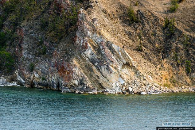
The northernmost point of Olkhon - cape Khoboy
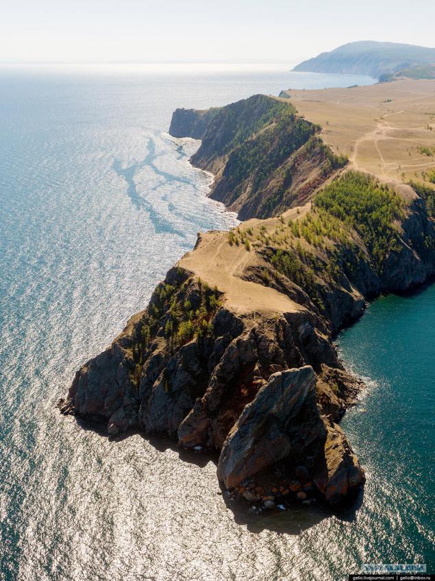
Cape Khoboy is near the widest point of Lake Baikal (79, 5 km), and only in good weather with him, you can see the eastern shore.
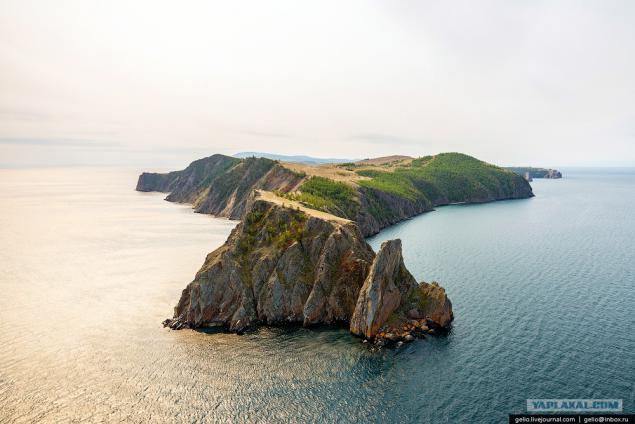
Mount Jima - the highest point of the island. The height above the lake 818 meters.
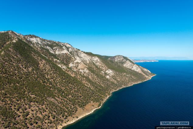
Cape Shunte-Left. Not far from here is the deepest place of Lake Baikal - 1642 m.
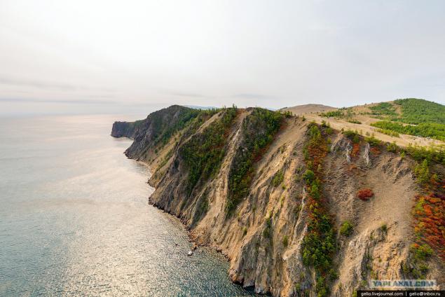
Shaman Rock - one of the holy places of Asia, which has become famous way of Baikal.
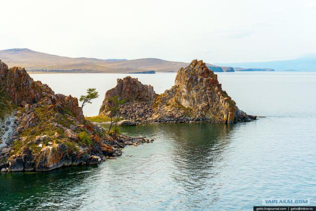
The name of the cape "Burhan" appeared after the penetration of Tibetan Buddhism in the Baikal region in the late XVII century.
The word "Burhan" Buryat Buddhists became known as the main deity of Lake Baikal. A cape Burhan-through cave in the cliff Shaman considered his abode.
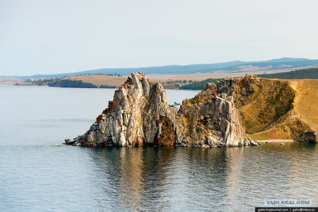
Located near the Cape settlement Khuzhir with a population of 1, 3 thousand. Residents - the largest settlement on the island.
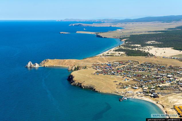
Currently, the main occupation of the locals is a service of tourist flows.
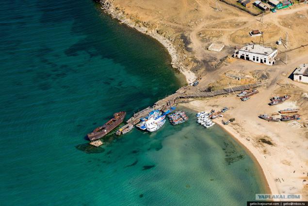
Electricity came here only in 2005.
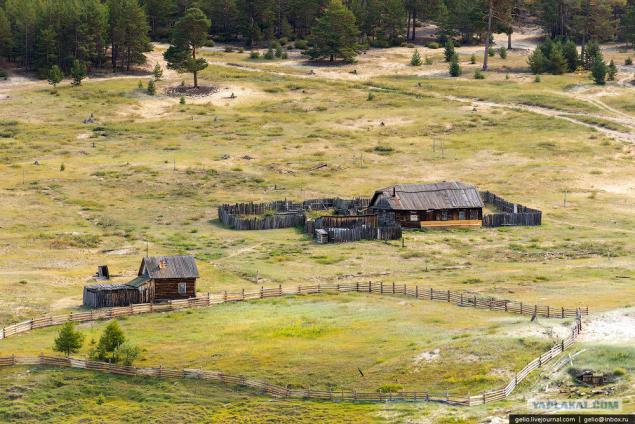
Ogoy Island - the largest island in the Small Sea. Its length - 3 km.
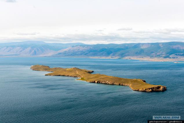
Ogoy is one of the so-called "power spots" of Lake Baikal. Many people come to the lake just to visit this place - clean and charge the spiritual energy. In 2005, the island was built sacred Buddhist stupa.
The people there is a belief that if go around the stupa three times and make a wish - it comes true.
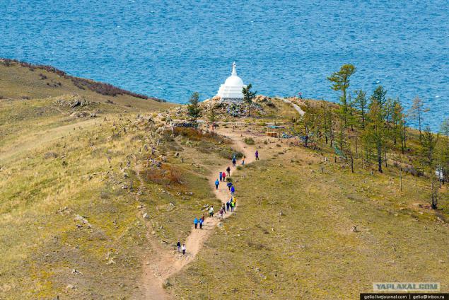
Cape Ogoy
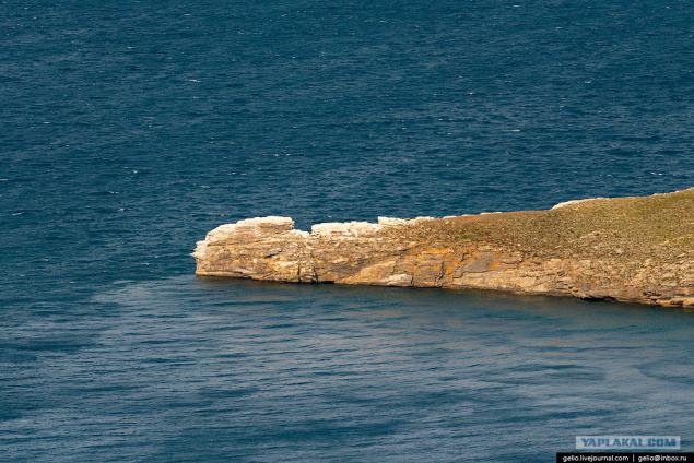
Baikal water mass influences the climate of the coastal territory. Winter here is softer, and the summer - cooler.
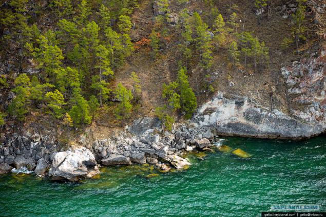
The name of the island has received from the Buryat word "oh-hon" - "a little wooded". Because the island is made up of 55% - and 45% of the steppe - forests.
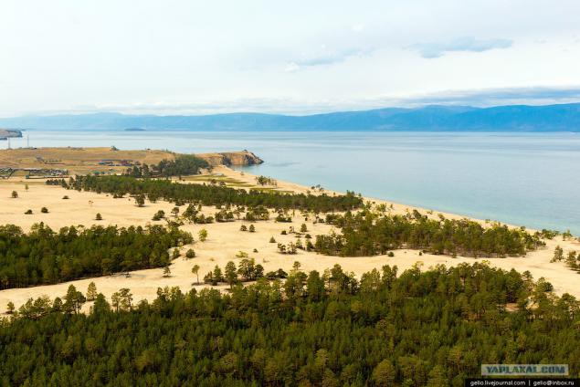
One of the most pressing environmental issues of Olkhon is the disposal of waste.
It should be noted that the dump is spontaneous, nothing is fenced, and the process of recycling not controlled by anyone. Non-governmental organizations on the island, a network of special places for waste collection.
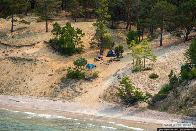
Cape Hubyn
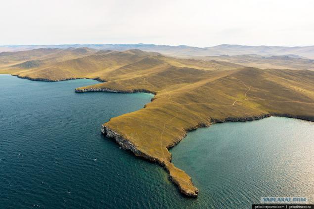
...
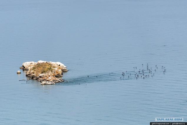
On Lake Baikal is found 236 species of birds. Of these, 29 waterfowl, mainly various species of ducks, flocks of which frequently occur during the voyage on Lake Baikal. At least on the shores of Lake Baikal can be found geese, Whooper Swan.
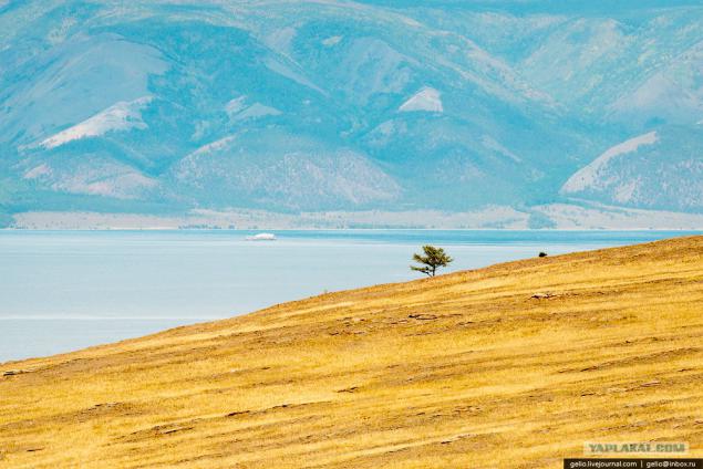
By the total number of dry days Olkhon can be compared to the arid regions of Central Asia on the island only 48 cloudy days a year
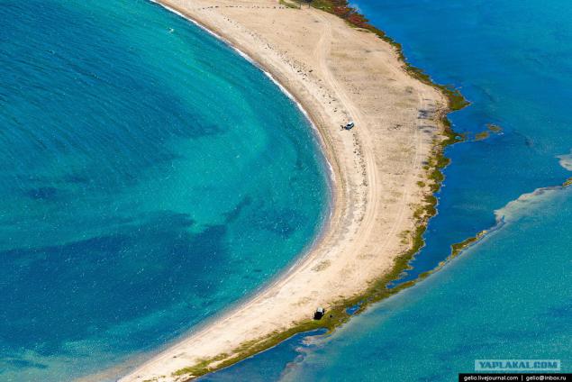
Tagayskaya Bay
...
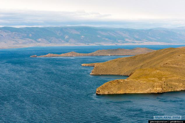
Zuun-Hagun
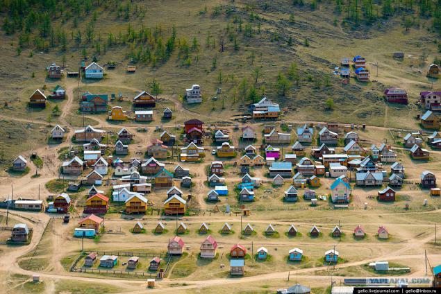
Bay Sagan-Noug
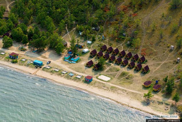
Combs
Posted in [mergetime] 1410880914 [/ mergetime]
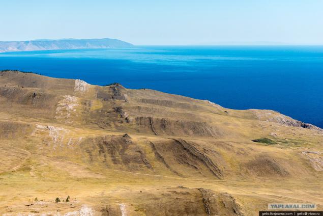
Mountain Nondora
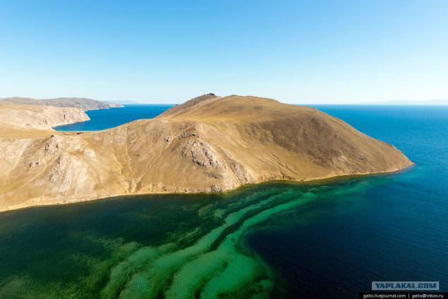
...
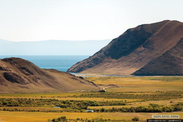
And the ferry to Olkhon is accessible via smart picturesque multilane road
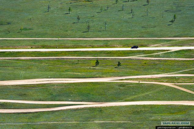
Olkhon from Irkutsk to about 300 km.
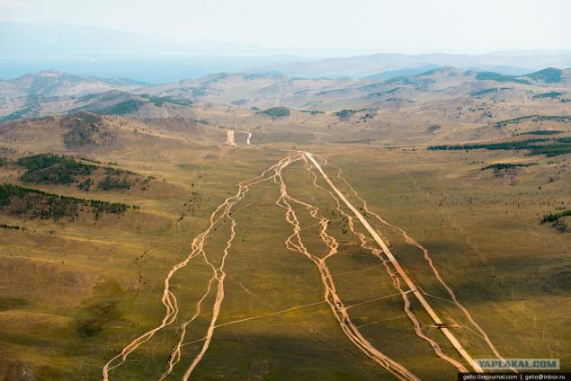
Shaman Cape - the westernmost point of Lake Baikal
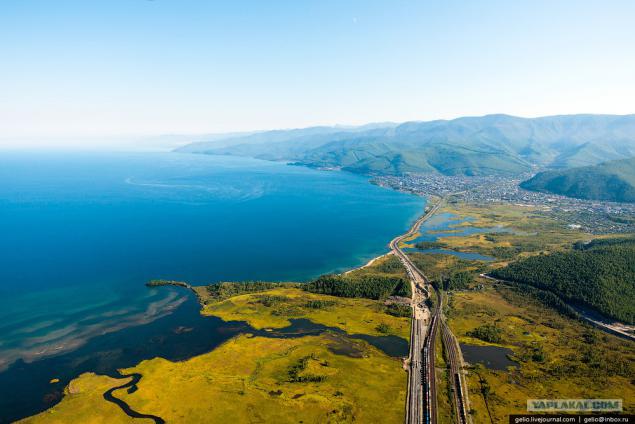
Khamar-Daban - the oldest mass of the planet, which stretches from east to west over 350 km.
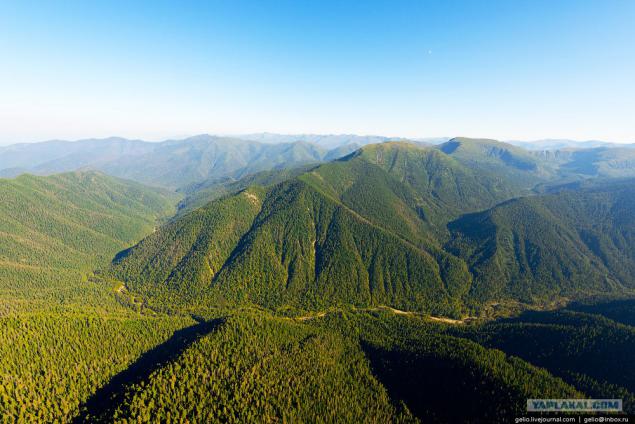
According to the Khamar-Daban is the border of the Irkutsk region and Buryatia.
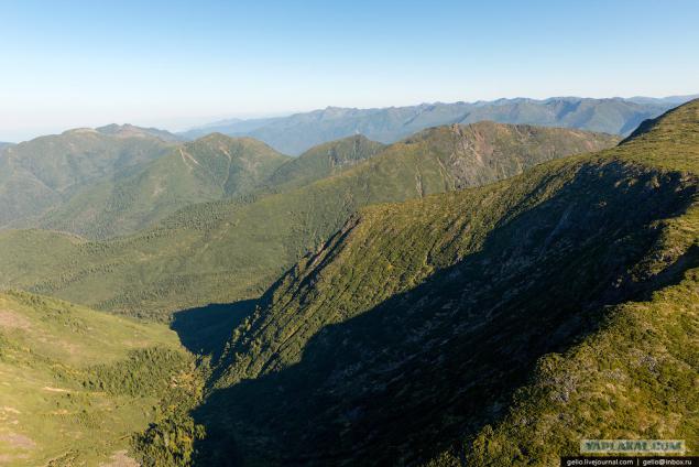
The slopes of the Khamar-Daban, adjacent to the south-western shore of Lake Baikal, is the wettest place in the Baikal region.
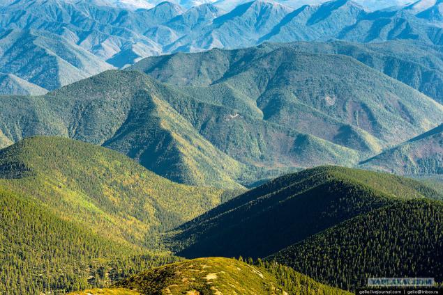
Marble quarry
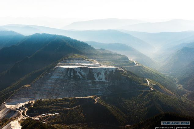
Sludyanka
Here is the only station in the world, built entirely of marble. From the city originates Circum-Baikal Railway.
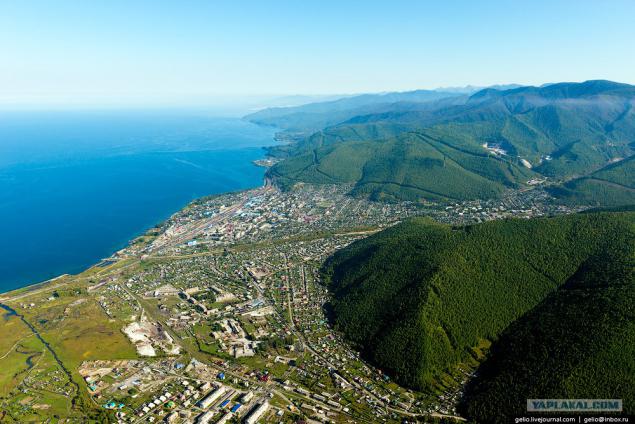
Circum-Baikal Railway
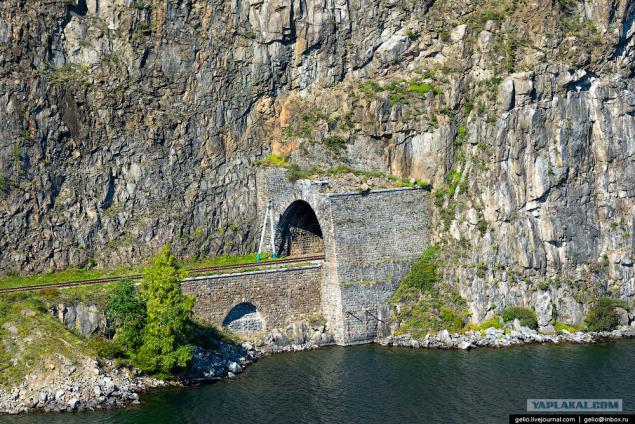
Prior to the introduction of the backup site was different, now a historic railroad that runs along the coast of the southern tip of the lake, from the village to the town Sludyanka Baikal.
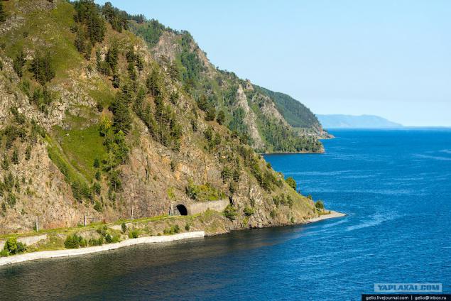
At present, the Circum-Baikal Railway is called branch length of 89 km.
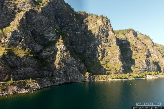
Circum used on 38 tunnels with a total length of 9063 m (the longest of them - the tunnel via the Cape of half the length of 777, 5 m), 15 stone galleries with a total length of 295 m 3 of concrete galleries with holes, 248 bridges and viaducts, 268 retaining walls.
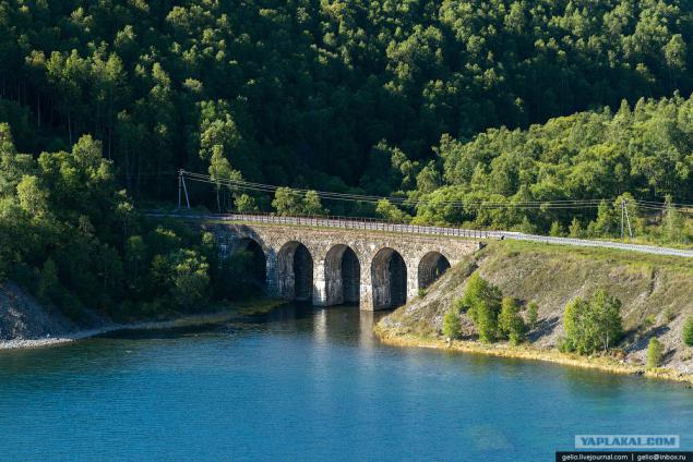
Saturation engineering structures Circum has no equal in Russia and is one of the first places in the world.
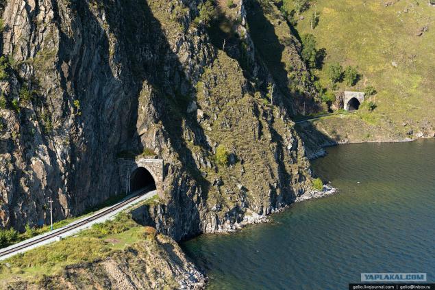
Half
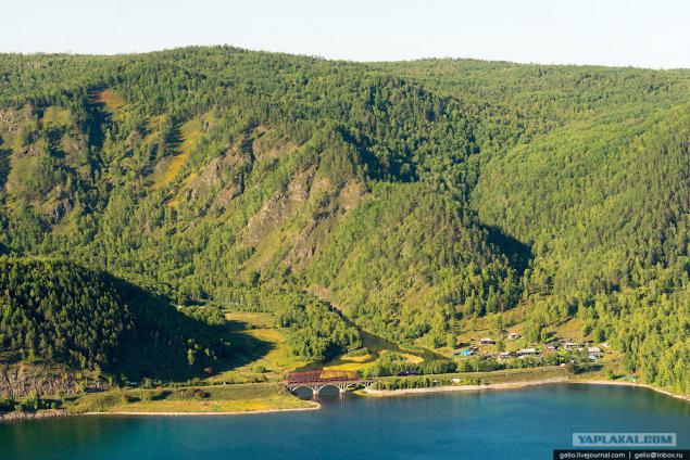
...
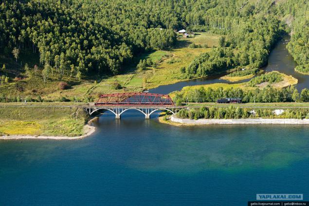
...
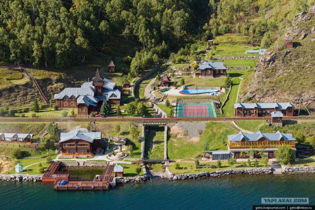
Recreation center Sharazhalgay
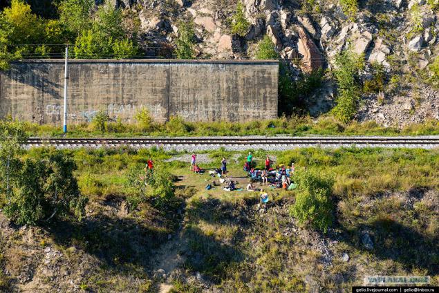
Circum-Baikal Railway - a popular place for tourists.
The village Baikal - the end point of Circum-Baikal Railway.
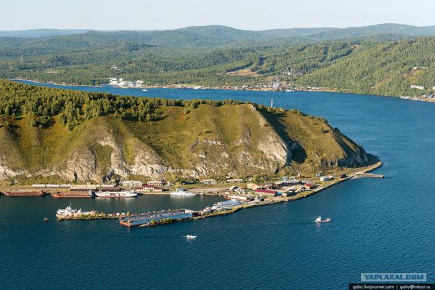
Listvyanka
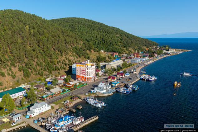
This is the "Gate of Baikal tourist" - are traded Baikal cisco and souvenirs. Located 65 kilometers from Irkustka.
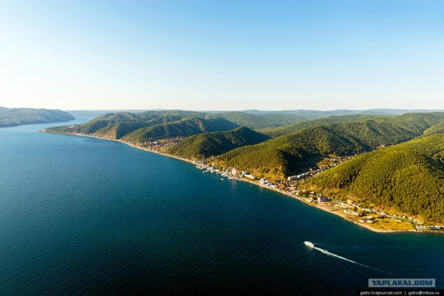
Houses in the village facing the main facade of Lake Baikal.
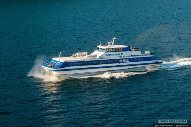
"Barguzin" - type hovercraft. On Lake Baikal, it flies at a speed of about 50 km / h.
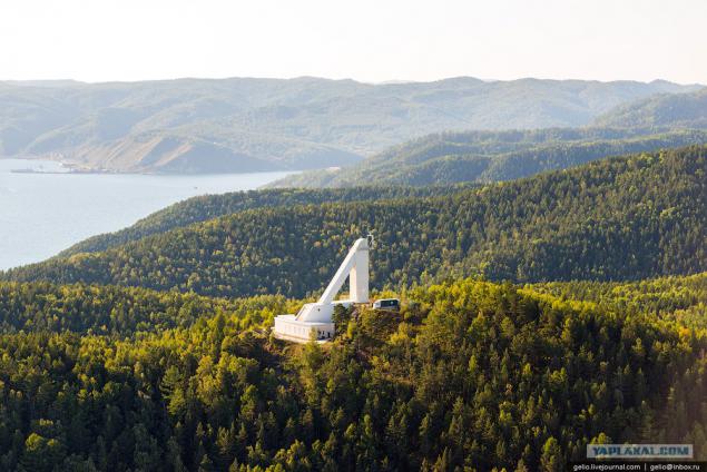
Baikal Astrophysical Observatory (BAO) is located on the outskirts of Listvyanka.
Main tasks: observe the fine structure of solar active entities, the registration of solar flares and other transient phenomena in the solar atmosphere.
Last
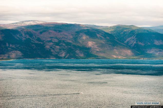
Lake Baikal - the deepest lake in the world, located in Eastern Siberia. It is the largest reservoir of fresh water in the world that has a tectonic origin (lake appeared at the junction of two plates). Because of the large size of the Baikal is often called the sea: it has an area of more than 23 thousand. Km2, and its maximum depth is 1,642 meters.
Lake Baikal - the place with a unique nature, which annually attracts thousands of tourists from Russia and from abroad. In this post, removed some of the most popular and picturesque places of Lake Baikal: Listvyanka, Circum-Baikal Railway and Olkhon Island.
61 photos.

By area, the water table Baikal ranks sixth among the largest lakes in the world.

Olkhon Island
The largest and only inhabited island on Lake Baikal. Length - 71 km, width - 12 km.

From the north-western shore of the lake forms the Small Sea and the Straits Olkhon Gate.

To get to the island of Olkhon possible via a ferry.

Currently there are two ferries - "Dorozhnik" and "Olkhon Gates".
Go the whole day with an interval of about an hour.

...

On the island meets all the diversity of landscapes of nature: the steppe, sandy beaches with dunes, hills and groves along the coast, as well as marble rocks and swamps.

Cape Sagan Khushun
The length of the cape is about 1 km height above the lake 100 m.

Marble

In the west of Cape rock falls into a group of rocks that are called "Three Brothers".

...

The northernmost point of Olkhon - cape Khoboy

Cape Khoboy is near the widest point of Lake Baikal (79, 5 km), and only in good weather with him, you can see the eastern shore.

Mount Jima - the highest point of the island. The height above the lake 818 meters.

Cape Shunte-Left. Not far from here is the deepest place of Lake Baikal - 1642 m.

Shaman Rock - one of the holy places of Asia, which has become famous way of Baikal.

The name of the cape "Burhan" appeared after the penetration of Tibetan Buddhism in the Baikal region in the late XVII century.
The word "Burhan" Buryat Buddhists became known as the main deity of Lake Baikal. A cape Burhan-through cave in the cliff Shaman considered his abode.

Located near the Cape settlement Khuzhir with a population of 1, 3 thousand. Residents - the largest settlement on the island.

Currently, the main occupation of the locals is a service of tourist flows.

Electricity came here only in 2005.

Ogoy Island - the largest island in the Small Sea. Its length - 3 km.

Ogoy is one of the so-called "power spots" of Lake Baikal. Many people come to the lake just to visit this place - clean and charge the spiritual energy. In 2005, the island was built sacred Buddhist stupa.
The people there is a belief that if go around the stupa three times and make a wish - it comes true.

Cape Ogoy

Baikal water mass influences the climate of the coastal territory. Winter here is softer, and the summer - cooler.

The name of the island has received from the Buryat word "oh-hon" - "a little wooded". Because the island is made up of 55% - and 45% of the steppe - forests.

One of the most pressing environmental issues of Olkhon is the disposal of waste.
It should be noted that the dump is spontaneous, nothing is fenced, and the process of recycling not controlled by anyone. Non-governmental organizations on the island, a network of special places for waste collection.

Cape Hubyn

...

On Lake Baikal is found 236 species of birds. Of these, 29 waterfowl, mainly various species of ducks, flocks of which frequently occur during the voyage on Lake Baikal. At least on the shores of Lake Baikal can be found geese, Whooper Swan.

By the total number of dry days Olkhon can be compared to the arid regions of Central Asia on the island only 48 cloudy days a year

Tagayskaya Bay

...

Zuun-Hagun

Bay Sagan-Noug

Combs
Posted in [mergetime] 1410880914 [/ mergetime]

Mountain Nondora

...

And the ferry to Olkhon is accessible via smart picturesque multilane road

Olkhon from Irkutsk to about 300 km.

Shaman Cape - the westernmost point of Lake Baikal

Khamar-Daban - the oldest mass of the planet, which stretches from east to west over 350 km.

According to the Khamar-Daban is the border of the Irkutsk region and Buryatia.

The slopes of the Khamar-Daban, adjacent to the south-western shore of Lake Baikal, is the wettest place in the Baikal region.

Marble quarry

Sludyanka
Here is the only station in the world, built entirely of marble. From the city originates Circum-Baikal Railway.

Circum-Baikal Railway
Prior to the introduction of the backup site was different, now a historic railroad that runs along the coast of the southern tip of the lake, from the village to the town Sludyanka Baikal.

At present, the Circum-Baikal Railway is called branch length of 89 km.

Circum used on 38 tunnels with a total length of 9063 m (the longest of them - the tunnel via the Cape of half the length of 777, 5 m), 15 stone galleries with a total length of 295 m 3 of concrete galleries with holes, 248 bridges and viaducts, 268 retaining walls.

Saturation engineering structures Circum has no equal in Russia and is one of the first places in the world.

Half

...

...

Recreation center Sharazhalgay

Circum-Baikal Railway - a popular place for tourists.

The village Baikal - the end point of Circum-Baikal Railway.

Listvyanka
This is the "Gate of Baikal tourist" - are traded Baikal cisco and souvenirs. Located 65 kilometers from Irkustka.

Houses in the village facing the main facade of Lake Baikal.

"Barguzin" - type hovercraft. On Lake Baikal, it flies at a speed of about 50 km / h.

Baikal Astrophysical Observatory (BAO) is located on the outskirts of Listvyanka.
Main tasks: observe the fine structure of solar active entities, the registration of solar flares and other transient phenomena in the solar atmosphere.

Last


