1367
Detailed map of fires
Fun live. The idea is that today before the weather forecast of a beautiful girl with a pointer should stand at the map and show the fire where it burns. But while the thought of this before the TV, you can assess the situation themselves.
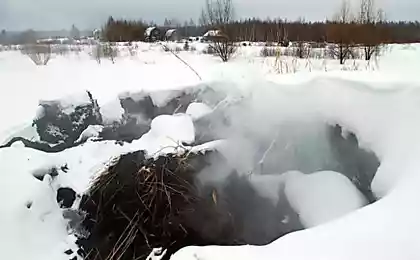
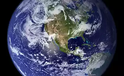
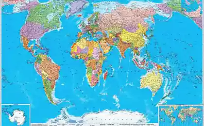
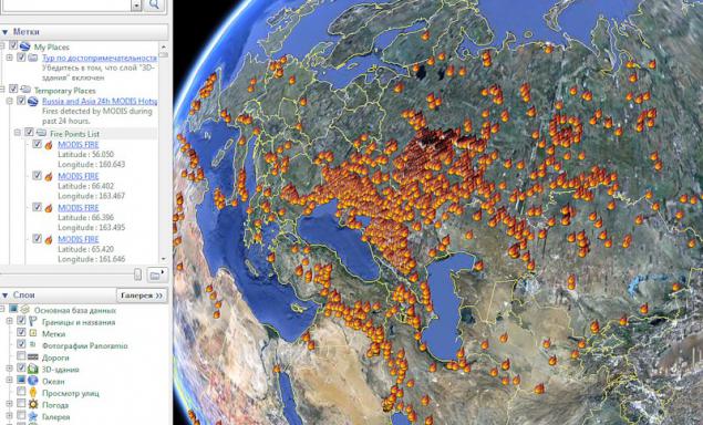
This operating system monitoring wildfires - Fire Information for Resource Management System. It is based on the analysis of thermal images of low resolution channels (Terra / Modis, 1 km). These are laid out in the last 24-48 hours: fires are marked locations and posted pictures of themselves in several combinations of channels. Knowledge gleaned here
To view you need Google Earth
Do not just faint when you see it:
4 screenshots via i_cherski
Blaze is actually not all do. That is the size of a spark on the map does not correspond to the real. Although still it looks terrible.
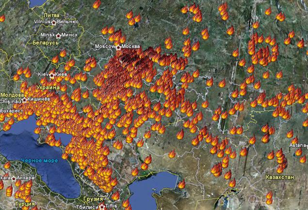
Zoom
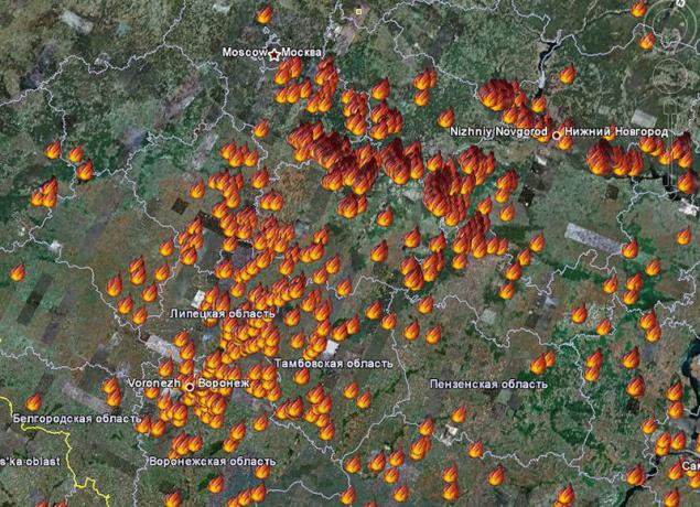
Even larger
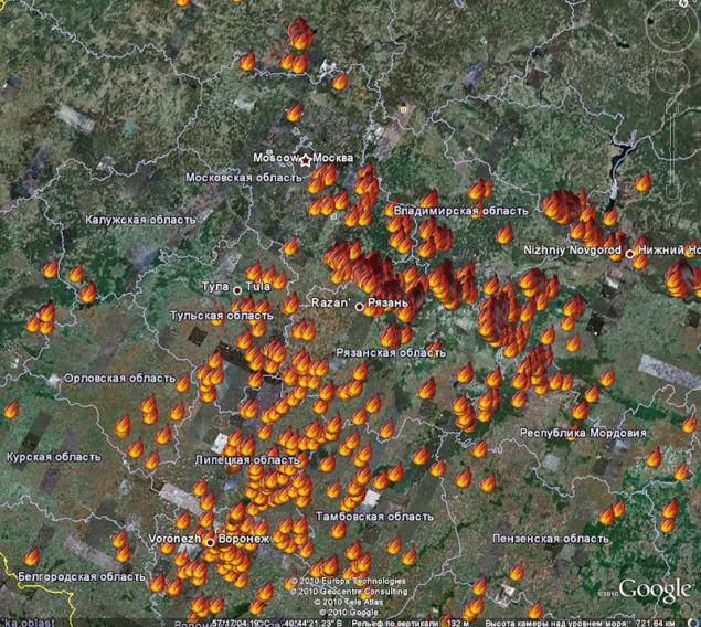
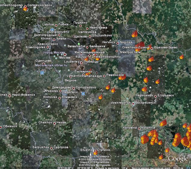
Very big. In Kolomna obviously some hell. Closer to Moscow worried Orekhovo-, Train, Lytkarino, Ramenskoye. In the north - Solnechnogorsk.
Source:
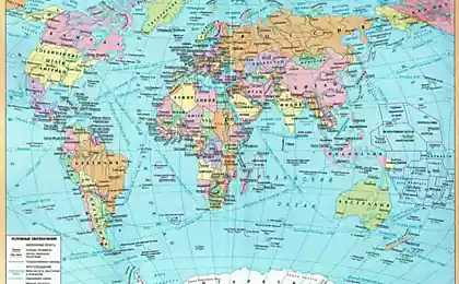
This operating system monitoring wildfires - Fire Information for Resource Management System. It is based on the analysis of thermal images of low resolution channels (Terra / Modis, 1 km). These are laid out in the last 24-48 hours: fires are marked locations and posted pictures of themselves in several combinations of channels. Knowledge gleaned here
To view you need Google Earth
Do not just faint when you see it:
4 screenshots via i_cherski

Blaze is actually not all do. That is the size of a spark on the map does not correspond to the real. Although still it looks terrible.

Zoom

Even larger

Very big. In Kolomna obviously some hell. Closer to Moscow worried Orekhovo-, Train, Lytkarino, Ramenskoye. In the north - Solnechnogorsk.

Source: