580
Google Earth in 3D
Hello!
I want to share with you new experiences and I wish to ask you a favorite-respected simple question: HOW ?!
All of you are familiar with the program Google Earth, I think many people know about the 3D models of buildings on the map, and that these models are made by hand - it is even created special application.
5 images
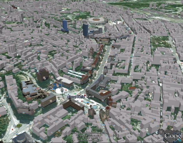
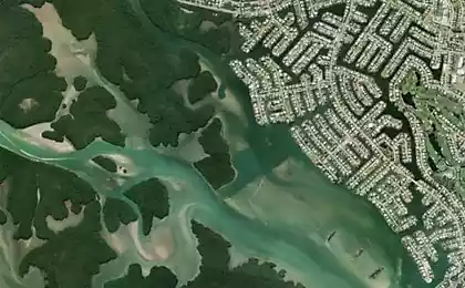
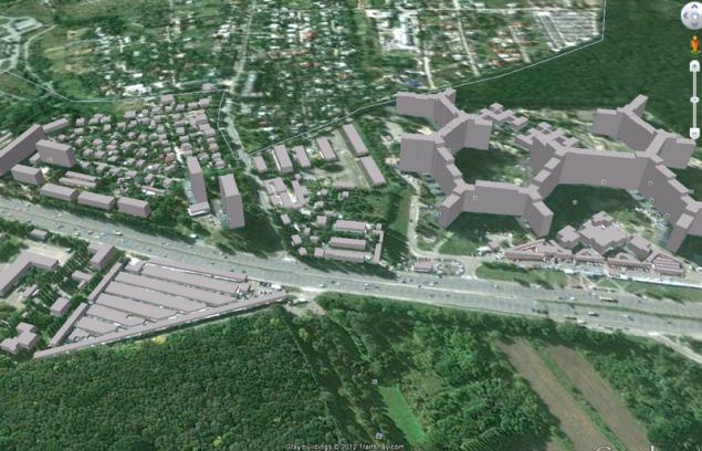
2. Once again, I decided to google's in Google Earth. Including maps, I went down, as always in his beloved city-hero of Kiev. A special surprise was not, when they began to be loaded in addition to the already familiar buildings, new - but without the texture. My first thought - added.
But what was my surprise when, after half a minute, the whole town began to grow in my eyes - every building, regular shape and height, and in its place.
3. shocked that a couple of months ago on this map of Kiev simply was not only the center of handmade, and a couple of dozen buildings scattered throughout Kiev, I started to check every area that is familiar to me. I even found my house - no priglyadnuyu hrushevku.
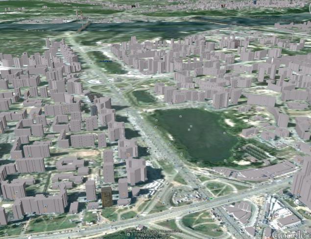
But the biggest struck - is the private sector. Every building in every small yard! Q: HOW ?!
4. I like surveyor's hard to imagine that this work was done manually. With the coordinates of course possible to draw on the map a separate building, but the height, the correct forms - in my kind of work can not be done, even for a couple of decades.
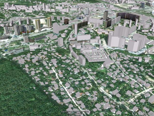
5. Heck, even the garage cooperatives displayed, with its little market stalls.
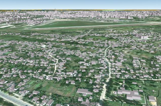
What is interesting is that the outside of Kiev, building models do not have.
One idea is that it is done with a laser satellite - but is it conceivable?
Anyone interested can see your city on Google Earth by including pre-check three-dimensional buildings.
If you are among the well-informed, share with us, mere mortals, infoy - what kind of technology!
Thank you all, I have everything.
Source:
I want to share with you new experiences and I wish to ask you a favorite-respected simple question: HOW ?!
All of you are familiar with the program Google Earth, I think many people know about the 3D models of buildings on the map, and that these models are made by hand - it is even created special application.
5 images

2. Once again, I decided to google's in Google Earth. Including maps, I went down, as always in his beloved city-hero of Kiev. A special surprise was not, when they began to be loaded in addition to the already familiar buildings, new - but without the texture. My first thought - added.
But what was my surprise when, after half a minute, the whole town began to grow in my eyes - every building, regular shape and height, and in its place.

3. shocked that a couple of months ago on this map of Kiev simply was not only the center of handmade, and a couple of dozen buildings scattered throughout Kiev, I started to check every area that is familiar to me. I even found my house - no priglyadnuyu hrushevku.
But the biggest struck - is the private sector. Every building in every small yard! Q: HOW ?!

4. I like surveyor's hard to imagine that this work was done manually. With the coordinates of course possible to draw on the map a separate building, but the height, the correct forms - in my kind of work can not be done, even for a couple of decades.

5. Heck, even the garage cooperatives displayed, with its little market stalls.
What is interesting is that the outside of Kiev, building models do not have.
One idea is that it is done with a laser satellite - but is it conceivable?
Anyone interested can see your city on Google Earth by including pre-check three-dimensional buildings.
If you are among the well-informed, share with us, mere mortals, infoy - what kind of technology!
Thank you all, I have everything.

Source: