13877
Prohibited places to be displayed on Google Maps (24 photos)
If you look at Google maps thoroughly, you can notice several hidden places, they are prohibited from being shown.
Let's learn about them in more detail.
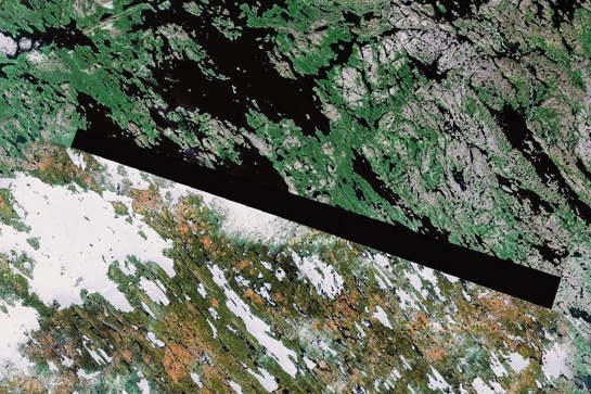
1. Baker Lake, Inuit territory in northern Canada
The man, who called himself "Dr. Boylan", believes that the darkened zone in this picture and in some other locations hides extraterrestrial beacons of aliens.
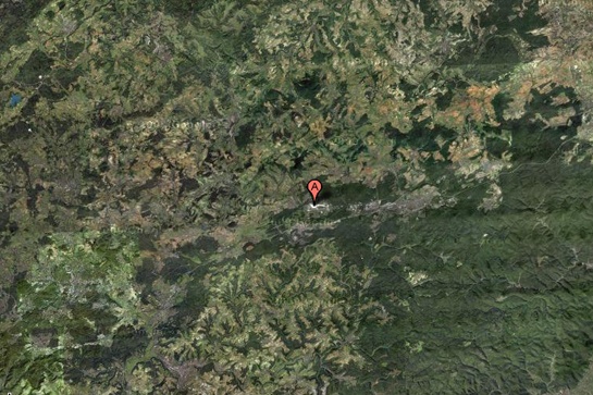
2. Ramstein Air Force Base, Germany
This NATO air base is the starting point for Operation Iraqi Freedom forces, and for this reason, it can certainly be a target for terrorist attacks. This may explain why this feature is partially cut from Google Maps.
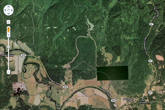
3. Pacific Northwest, USA
What exactly do we not see in this photo? This place is located near the border of the states of Washington and Oregon. Enthusiasts personally examined this place and found nothing remarkable, except for the ominous appearance of the fence and the unmarked entrance.
4. Shazalombatta Oil Refinery, Hungary
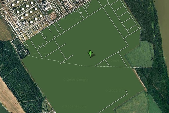
It's one of the strangest examples of censorship on Google Maps – it's just painted green. The territory of the factory is removed, the buildings are erased, and all you can see is ordinary grass.
5. Huis Ten Palace, Holland
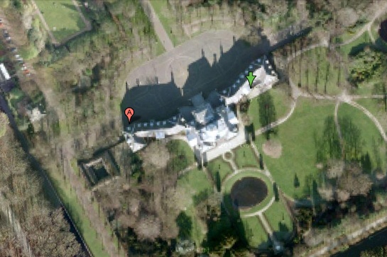
It's hard to imagine that the Dutch royal family could be a prime target for a crazed terrorist, but the royal palace of Huis Ten is heavily blurred on Google Maps when viewed from any angle. (However, the surrounding area and trees are visible with crystal clarity at close magnification).
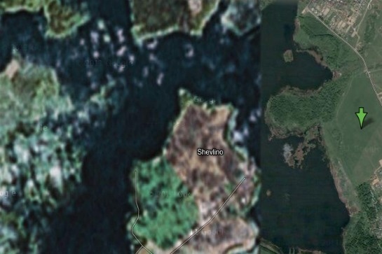
6. Unknown Zone, Russia
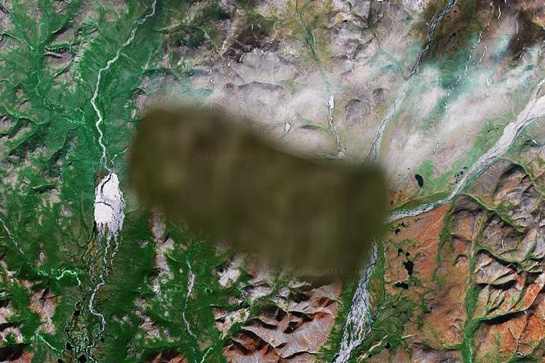
No one knows what is hiding in this region. One view is that there is a "radar station or missile interception system," and some claim that the image of the surrounding area is inserted from another region of Russia.
7. Mobil Oil Corporation, Buffalo, New York, USA
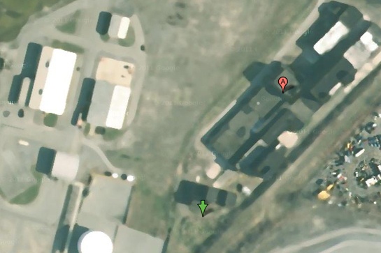
Some have criticized Mobil of Buffalo for blurring images of its facilities, saying that oil corporations are not of much interest to terrorists. On the other hand, we do not know what the terrorists themselves think.
8. North Korea
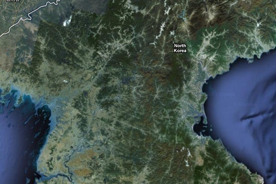
Everyone has heard of this country, which is part of the supposed "Axis of Evil", but very few have ever visited it. You also won't see it on Google Maps, as the entire country exists in the imagery, but without road markers, street names, or any other identifying details.
9. Reims Air Base, France
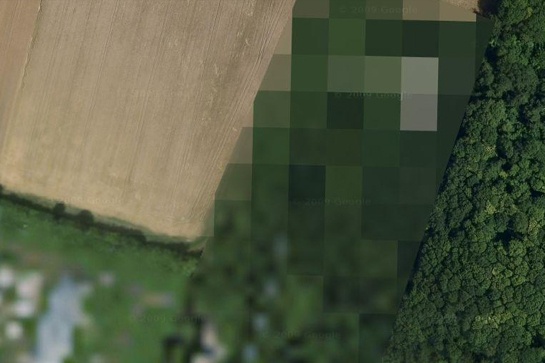
The reasons why this air force base is blocked on Google Maps are unknown.
10. Indian Point Power Plant, New York, USA
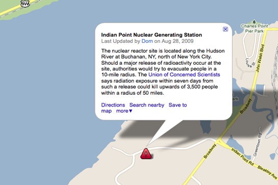
Many members of the United States government have called for the shutdown of the Indian Point power plant. Aside from environmental concerns, according to energy experts, the power plant is not strong enough to withstand an earthquake like the one that recently devastated Japan.
11. Volkel Air Base, Holland
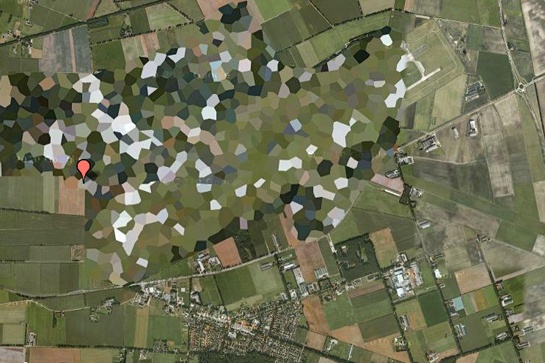
It's funny to see how crudely the air base is blurred in satellite imagery, but WikiLeaks has released diplomatic cables that confirm the presence of nuclear warheads on the base.
12. HAARP, Gakona, Alaska, USA
HAARP (High Frequency Northern Lights Research Program) is one of the most controversial operations currently underway in the United States. Gakona, the site of research, and the ionospheric experiments being conducted there are revered by some conspiracy theorists as the cause of everything from floods to earthquakes, but there is very little evidence of this.
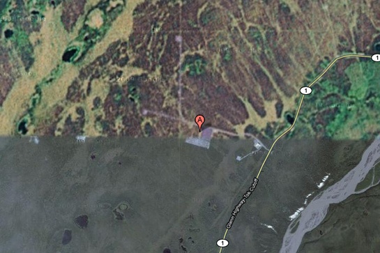
13. Mazda Laguna Seca Race Track, Salinas, California, USA
This is one of the strangest examples of censorship on Google Maps: the Laguna Seca racetrack in Salinas, California. The strangest thing about this is the fact that it is obviously a harmless race track.
14. Babylon, Iraq
While the surrounding area is perfectly visible, the city of Babylon itself is blurred in the images. You can bet that this has something to do with the rebels there...
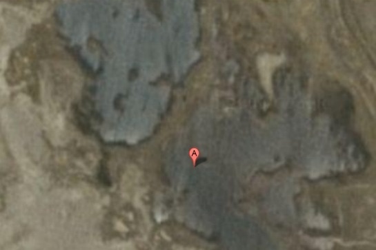
15. Tantauco National Park, Chile
Why is this endangered species sanctuary completely cut out of Google Maps? No one knows.
16. "The Hill", a correctional facility in Elmira, USA
This is the highest level of security prison in the state of New York. Perhaps, after the riots in Attica prison and several incidents of uprisings and mass escapes around the world, the authorities can really worry about the possibility of escapes using helicopters.
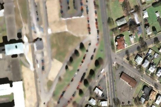
17. Alexey Miller House, Russia
According to Wikipedia, this place is home to "the private palace of the executive director of Gazprom, Alexei Miller." But why is he preferred over all other people? Maybe we're just not powerful enough to convince Google to cut out our homes from satellite imagery.
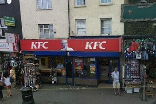
18. Colonel Sanders
This is the strangest fact from Google: Colonel Sanders, the face of the Kentucky Fried Chicken network, does not appear in any Google Street View imagery. That's because, according to Google, Sanders was a real person, and images of real people should be blurred in any shots.
19. Faro Islands, Denmark
It is believed that there are some unadvertised military installations in this zone.
20. NATO Headquarters, Portugal
This shot would be the funniest if it didn't have such a sinister context. Whoever edited the image of NATO's Portuguese headquarters simply copied another area of the earth's surface over the image of the building. Very strange.
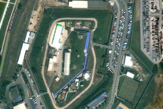
21. Seabrook Nuclear Power Plant, New Hampshire
The Seabrook Nuclear Power Plant is believed to be located in this northeastern part of the United States.
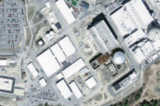
22. Missile Silo, Spain
According to one researcher, "There is a small structure in this place with what looks like a missile silo in the middle. What's strange is that this zone isn't blocked in Yahoo! Maps, but its image is not Google Maps."
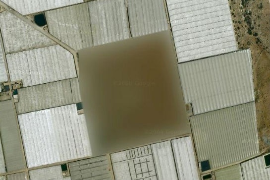
23. Nuclear zone, France
We're not quite sure what "The Marcoule site of the Commissariat l'Energie Atomique" means, but we think the word "atomique" is key here.
Source: mixstuff.ru