500
Scientists have lost an entire island
Australian scientists have managed to make a discovery or rather "closure". Marked on the maps of the island in the coral sea does not exist.
The members of the expedition to explore the ocean floor in the area of New Caledonia decided to sail to the island of sandy, which, on some maps, was located near their route. But when they reached the place, no sandy they saw.
Says study leader Maria Seton, navigation charts showed a depth of 2 thousand meters in the place where scientific maps and Gооgle Eаrth talked about the existence of the island.
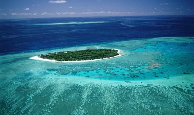
"This error has spread through the database on the coastline of the world on which were drawn a map," says Seton. Experts began collecting data on the seabed, for submission to the authorities with the aim of eliminating inaccuracies.
The missing island was mentioned in scientific publications since at least 2001, but on French government maps do not represent it.
In turn, President of the British cartographic society Danny Dorling argues that "the perfect map to do just impossible."
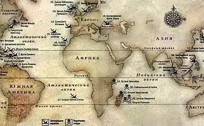
"This map of the world — a mixture of information with high-precision satellites and the oldest, which are received during the voyage of the pioneers," says Dorling.
Source: /users/413
The members of the expedition to explore the ocean floor in the area of New Caledonia decided to sail to the island of sandy, which, on some maps, was located near their route. But when they reached the place, no sandy they saw.
Says study leader Maria Seton, navigation charts showed a depth of 2 thousand meters in the place where scientific maps and Gооgle Eаrth talked about the existence of the island.

"This error has spread through the database on the coastline of the world on which were drawn a map," says Seton. Experts began collecting data on the seabed, for submission to the authorities with the aim of eliminating inaccuracies.
The missing island was mentioned in scientific publications since at least 2001, but on French government maps do not represent it.
In turn, President of the British cartographic society Danny Dorling argues that "the perfect map to do just impossible."
"This map of the world — a mixture of information with high-precision satellites and the oldest, which are received during the voyage of the pioneers," says Dorling.

Source: /users/413
