1242
32 photos from Google Earth, contrary to common sense
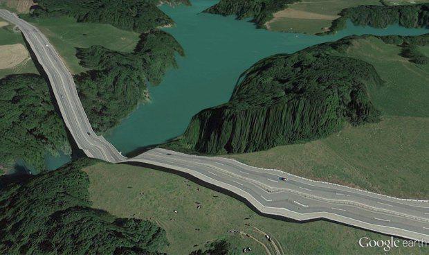
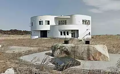
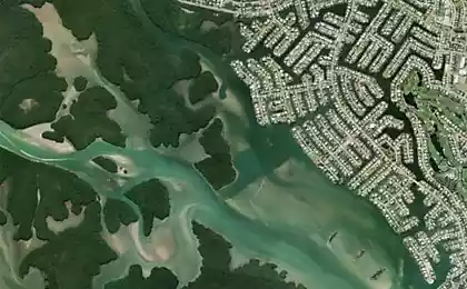
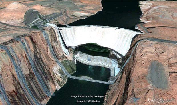
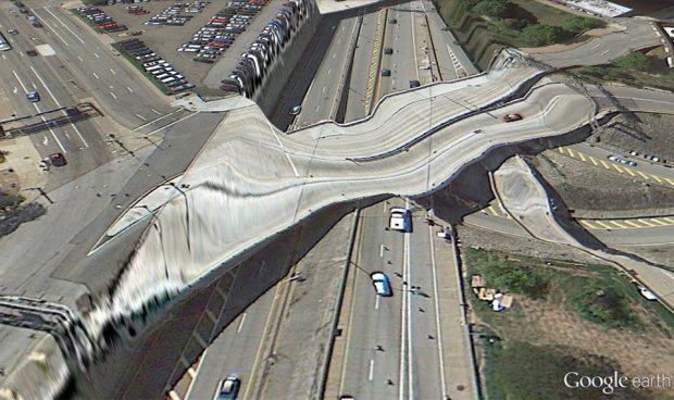
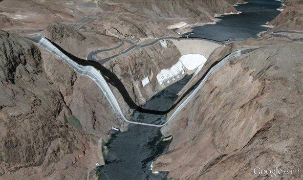
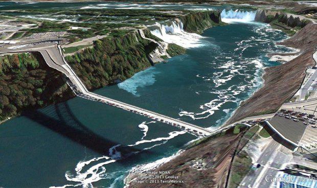
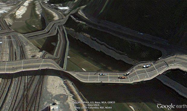
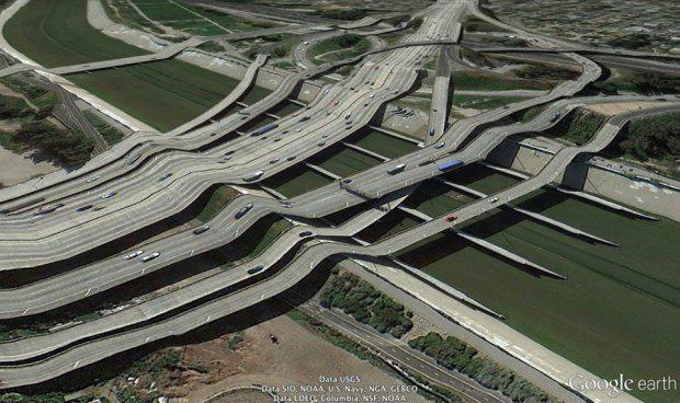
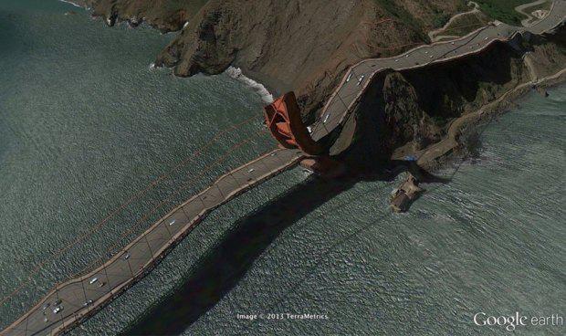
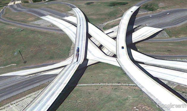
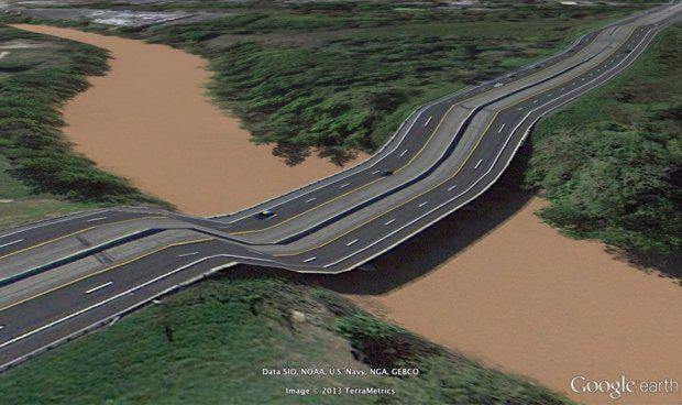
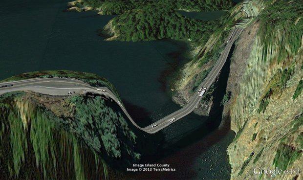
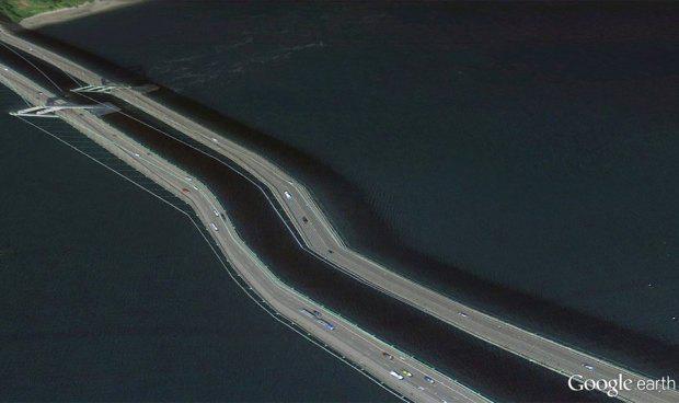
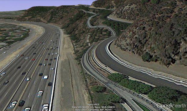
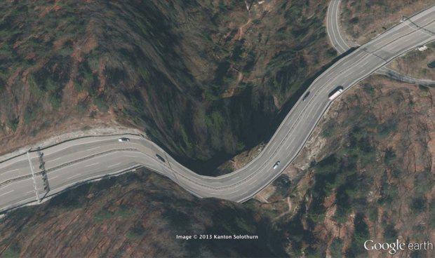
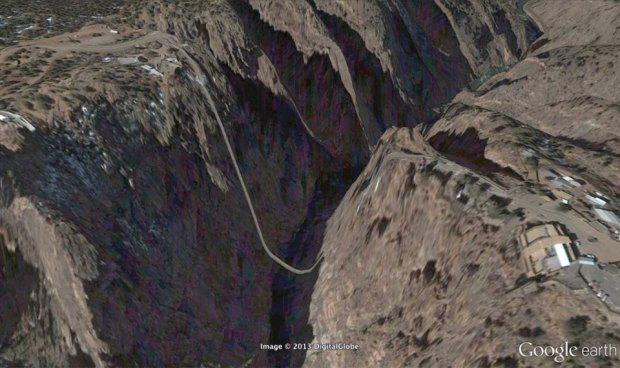
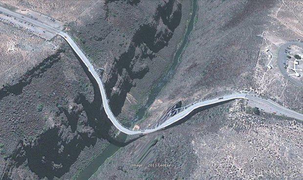
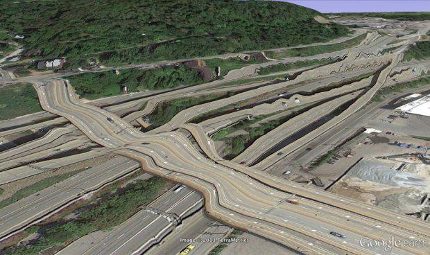
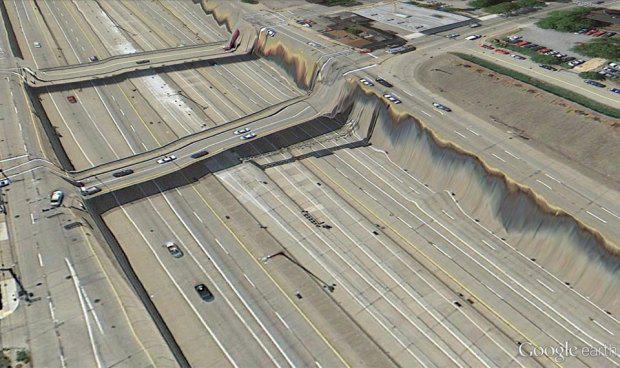
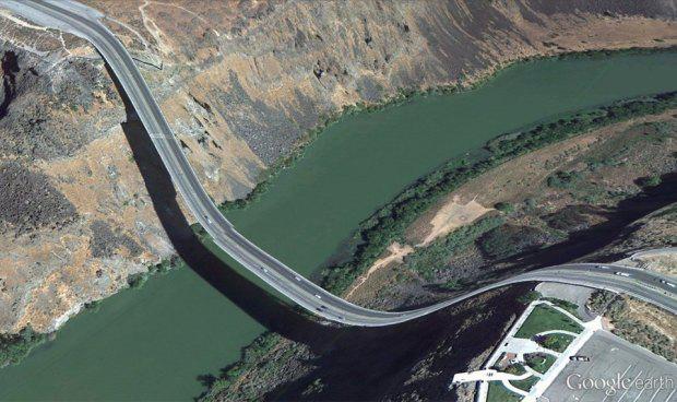
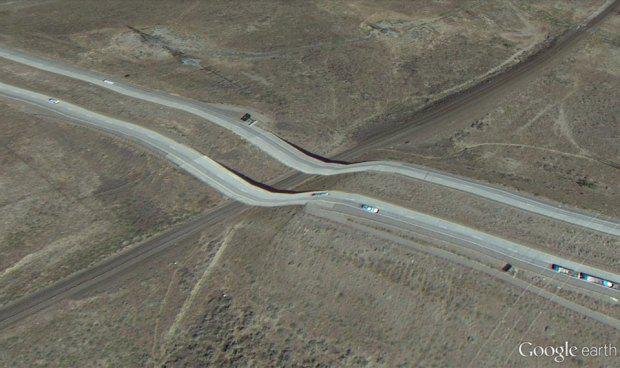
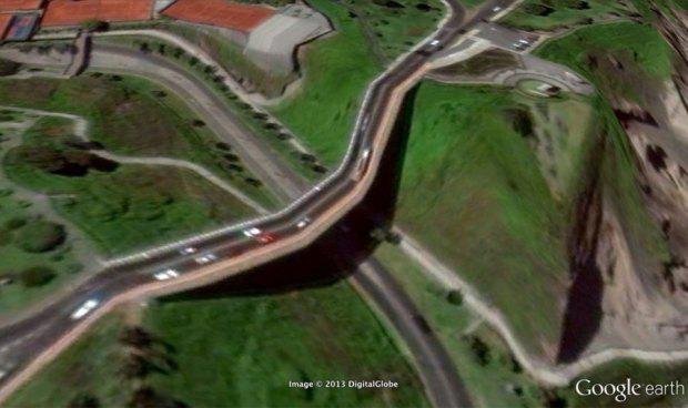
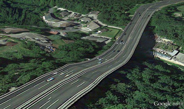
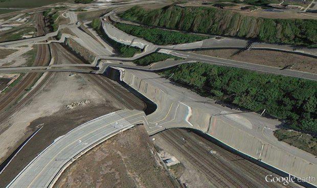
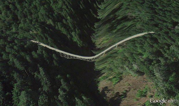
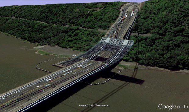
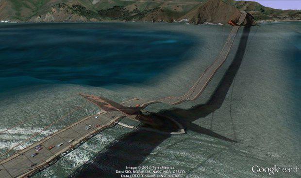
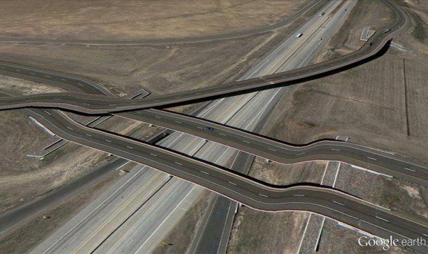
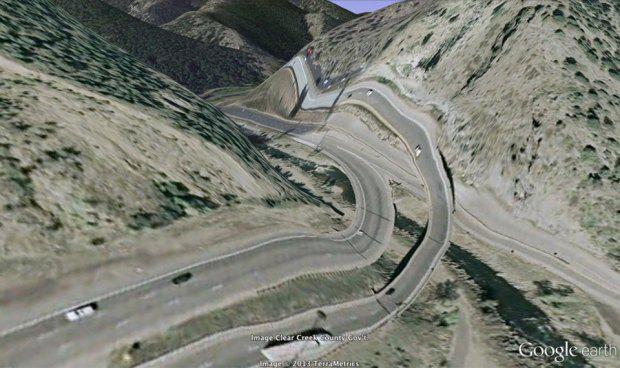
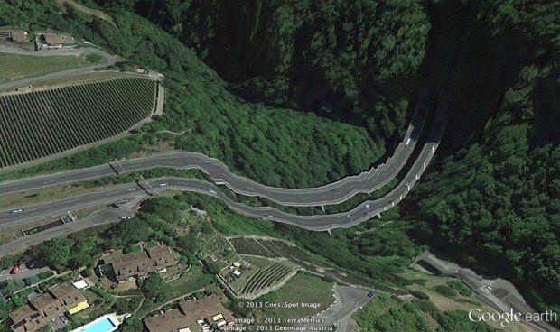
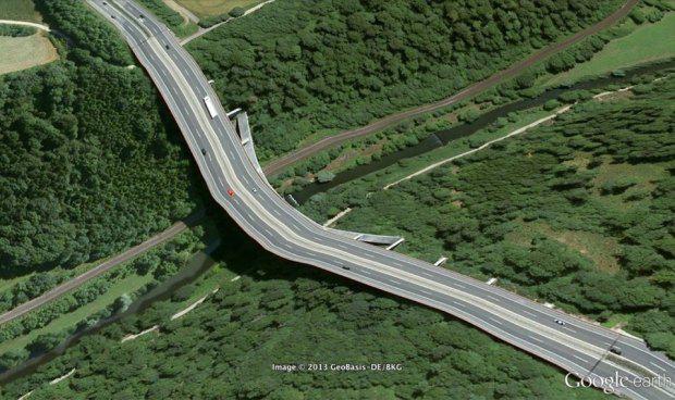
artist Clement Valla collects distorted images that are in the service Google Earth. First shots seemed to him deficiencies in the program, but it turned out that it was predictable anomalies for the display method, which is used by Google Earth. Look At Me explains why some images are such, and publishes a collection of the best images collected Valloy.Trehmernye images on Google Earth are created by using the technology that developed in the 1970s. In modeling the notion of "texture map". This is a flat image, which is applied to the surface of a three-dimensional model - just like the label on the bottle. Texture maps are not formally have the depth and surface of the object simply repeat: it is rather scans for which we are looking than the pictures, through which we smotrim.
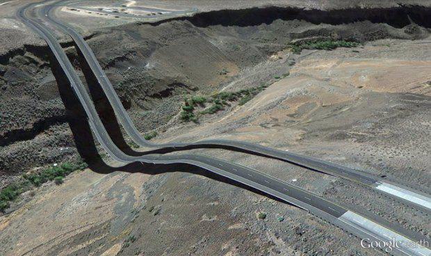
Google also uses its patented Universal Texture, specially designed for mapping the Earth's surface. This is not quite the texture in the conventional sense: they are closer it is to the photos, the third dimension which completes our brains. Therefore it is sometimes unavoidable when anomalies caused by mismatched depth indicators have three-dimensional model of the Earth surface and texture. And collects them Valla.
Source: www.lookatme.ru/mag/live/experience-reports/208603-32-absurd-images-from-google-earth