983
Norwegian Fjords
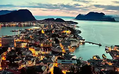
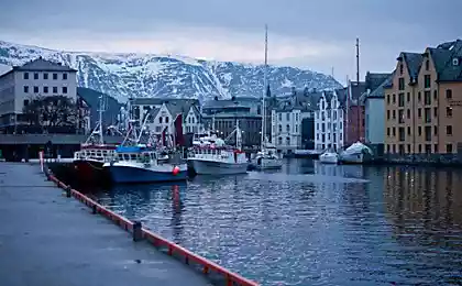
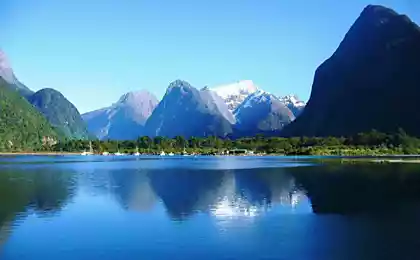
Fjords of Norway, this majestic mountain creeks - a unique natural phenomenon that will not leave anyone indifferent.
21 photo. Taken here
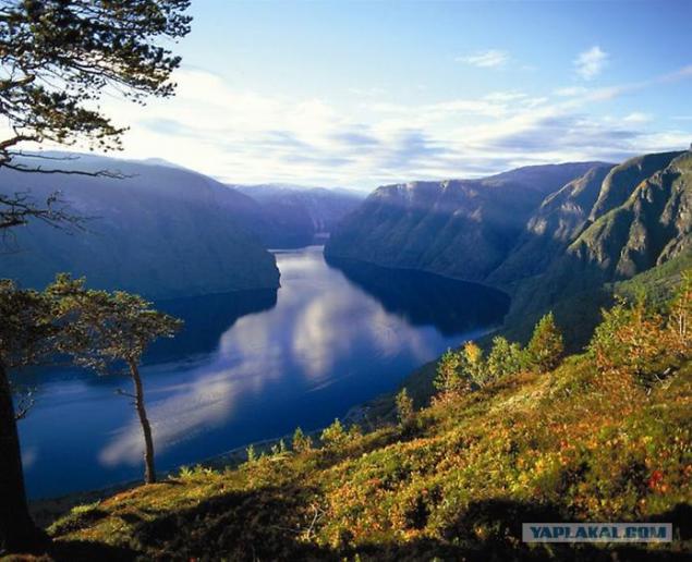
1. In the northern part of the west coast of the Norwegian fjords are located, which were formed during the last ice age. When 10-12 thousand years ago, the glacier retreated, formed the amazing Norwegian fjords, now known throughout the world. The word "fjord" is translated from the Norwegian means "bay".
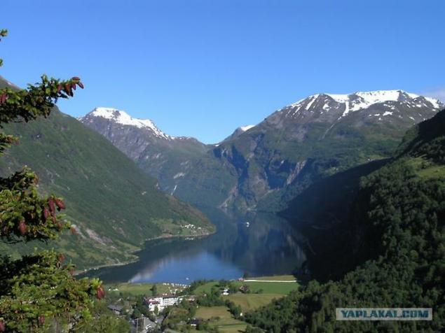
2. Each fjord has its own characteristics and attractions. Geiranger fjord is famous for the highest and most spectacular waterfalls. The majestic beauty of Geirangerfjord decades is the main attraction of cruises. Geiranger fjord is located about 200 kilometers north-east of Bergen, and 280 kilometers northwest of Oslo. Fjord stretches for 15 kilometers and is an offshoot Storfjord.
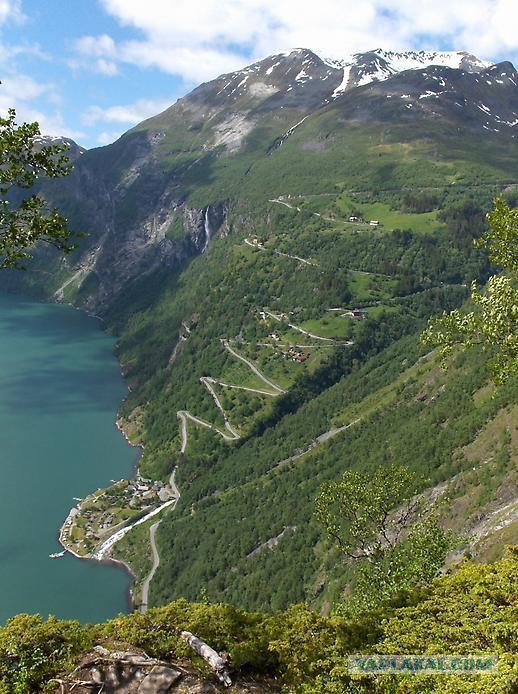
3.Odnimi of the attractions of the fjord are waterfalls, the most famous of which - Seven Sisters, Bridal Veil and groom.
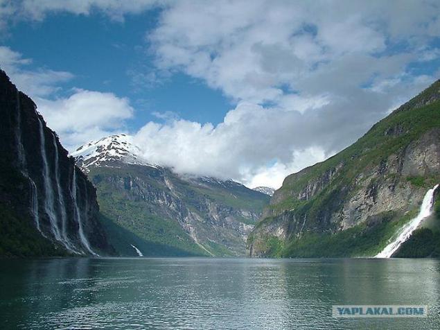
4. On the banks of the cliffs are located up to 1400 meters and glaciers. Along Geirangerfjord also found abandoned farm, some of which are located in small areas of mountain ledges, so to get to them it is possible only by special attachable or rope ladders.
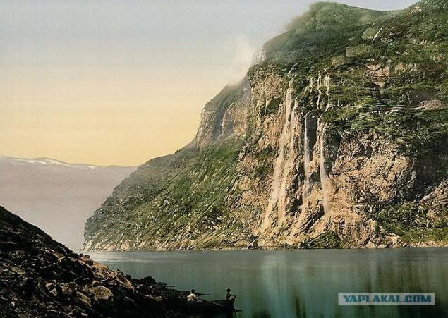
5.Sogneford - the longest fjord in the world. This bay, which in Norway is also called "King of Fjords", is located in the Sogn og Fjordane. It stretches 204 km inland and at 1308 meters to the depths of the sea.
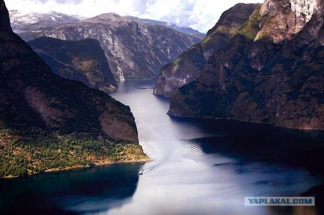
6.Po around the perimeter of the fjord - forbidding rocks, and if you go deep into the surrounding areas, along the way to meet beautiful waterfalls and cultural monuments.
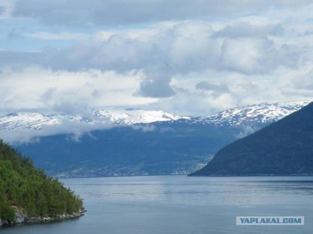
7.Formirovanie Sognefjord began 2, 57 million years ago during the Pliocene. As a result of erosion caused by glaciers converging river system has evolved into the fjord. It was destroyed by 7610 cubic kilometers of rock over the entire basin area Sognefjord, which currently stands at 12,518 square kilometers. Average groove caused by erosion was 610 meters, and the maximum (in the eastern part) - 2850 meters. Annual erosion rates reached 2 mm per year.
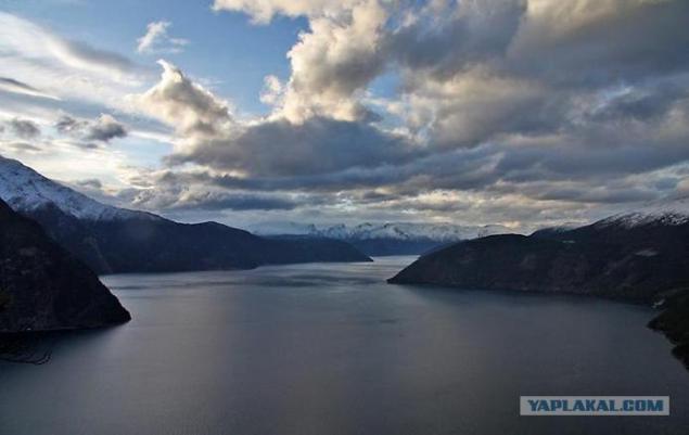
8.Tronheymsford - the third extent Fjord Norway. Located in the western part of central Norway and stretches from the west to the Erland Steinkjer in the north.
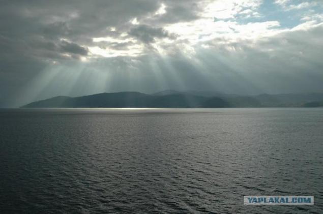
9.Na Tronheymsforda shore lies the city of Trondheim, in whose honor and named the fjord.
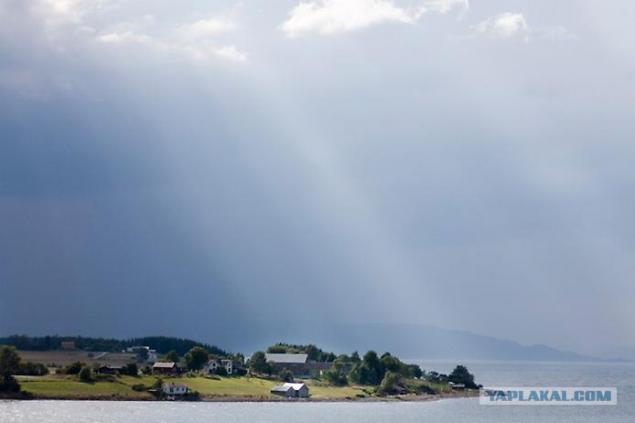
10.Samaya deepest point of the fjord - 617 meters, is located on the territory of the commune Agdanes. The largest island of the fjord - Itterёy (28 square kilometers) and Tёutra (1, 5 square kilometers). Tronheymsford was an important sea route in the days of the Vikings, and it remains to this day.
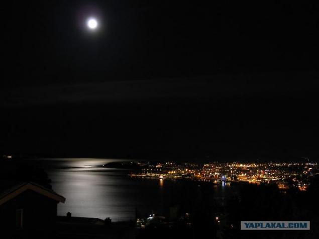
11.Hardangerford known primarily due to the surrounding areas, where the spring bloom in magnificent orchards. Orchards in the May Hardangerforda color make anyone believe in a paradise on earth. The fjord is surrounded by rocky mountains up to 1, 5 km, which falls to many magnificent waterfalls, such as waterfall Vøringsfossen height of 145 m and Skeggadals.
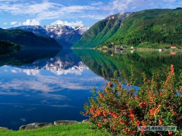
12.Hardangerford divided into many smaller bays, including Kvinnherads, granvin, Sor, Eid and the Wasp. Hardangerford juts into the shore of Scandinavia by 113 km. It begins south of Bergen, near the island of Stord in the North Sea and extends to the Hardanger Plateau. The maximum depth of 891 m, at the entrance - 253 m. The bottom of the Hardangerfjord lies sunk April 20, 1940 German ship destroyer type "Tryugg» «KNM Stegg».
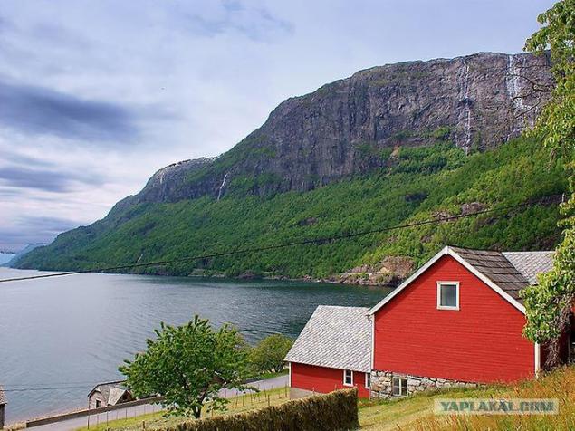
13.Lyuseford famous Pulpit rock, where you can enjoy a magnificent view, and most daring - to come to the edge of a cliff, where all of the breathtaking opening spectacle!
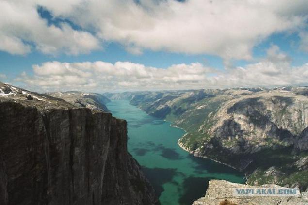
14.Dlina fjord is 42 km, the maximum depth of 422 meters. Fjord was formed by the action of glaciers and after the glacier retreated, "a giant crack" filled with water. It happened about 10 000 years ago. Lysefjord stretches from west to east at 42 km. Height above water vertical rock walls up to 1 km.
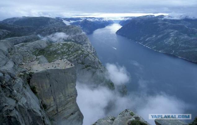
15.Iz of the difficult terrain on the shores of the fjord there are only two settlements - Lyusebotn and forsand. The depth of the fjord varies from 13 meters - in place of "confluence" in ocean fjord near Stavanger, to more than 400 meters.
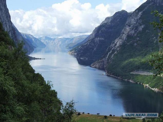
16.Nurford - the sixth-longest fjord in Norway, its length is 106 km fur-.
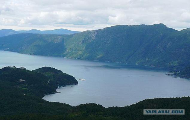
17.Nurford, along with the south and the Sognefjord Storfjord in the north - one of the three major central fjords of Norway. The maximum depth of 565 m, maximum width - about 5 km.
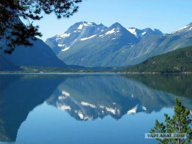
18.Ford has great tourism potential, in particular due to the fact that it provides easy access to several languages Jostedalsbreen Glacier, the largest glacier in continental Europe.
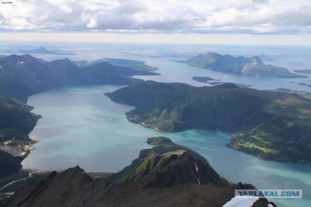
19.Dramaticheskaya beauty small southern Yossingforda, long bends near Lysefjord Cheragh rugged mountains and the famous mountain peak Prekestupen, numerous islands and secluded coves hiding in the fjords between the cities of Stavanger and Haugesund - ideal scenery for travel by boat or ship.
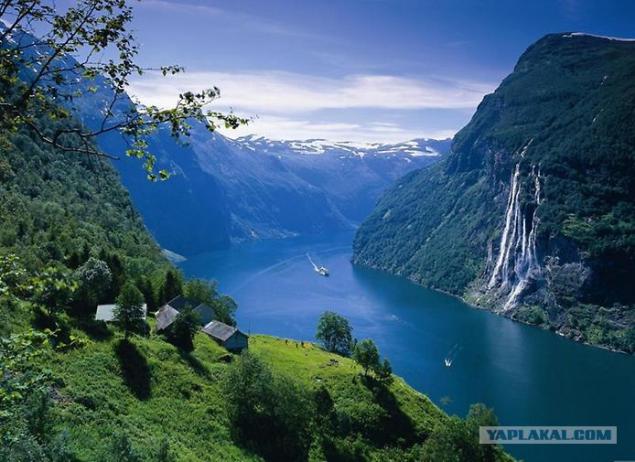
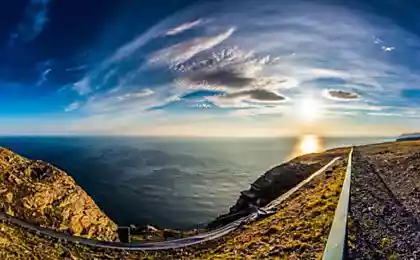
20.Vid fjord sparkling in the rays of the setting sun, creates a lasting impression.
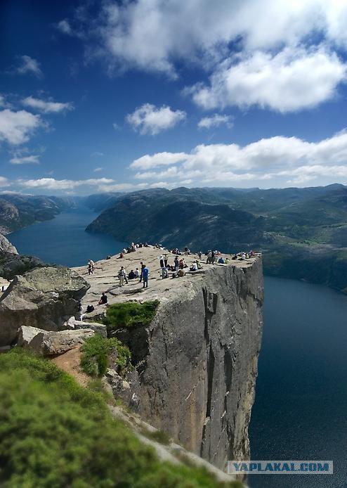
21.Fordy Norway suggest themselves to the lens cameras and camcorders. Thanks to all!
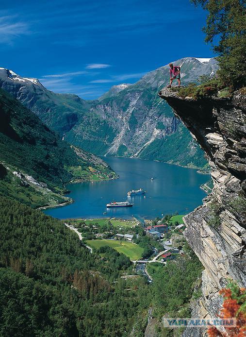
Source:
21 photo. Taken here

1. In the northern part of the west coast of the Norwegian fjords are located, which were formed during the last ice age. When 10-12 thousand years ago, the glacier retreated, formed the amazing Norwegian fjords, now known throughout the world. The word "fjord" is translated from the Norwegian means "bay".

2. Each fjord has its own characteristics and attractions. Geiranger fjord is famous for the highest and most spectacular waterfalls. The majestic beauty of Geirangerfjord decades is the main attraction of cruises. Geiranger fjord is located about 200 kilometers north-east of Bergen, and 280 kilometers northwest of Oslo. Fjord stretches for 15 kilometers and is an offshoot Storfjord.

3.Odnimi of the attractions of the fjord are waterfalls, the most famous of which - Seven Sisters, Bridal Veil and groom.

4. On the banks of the cliffs are located up to 1400 meters and glaciers. Along Geirangerfjord also found abandoned farm, some of which are located in small areas of mountain ledges, so to get to them it is possible only by special attachable or rope ladders.

5.Sogneford - the longest fjord in the world. This bay, which in Norway is also called "King of Fjords", is located in the Sogn og Fjordane. It stretches 204 km inland and at 1308 meters to the depths of the sea.

6.Po around the perimeter of the fjord - forbidding rocks, and if you go deep into the surrounding areas, along the way to meet beautiful waterfalls and cultural monuments.

7.Formirovanie Sognefjord began 2, 57 million years ago during the Pliocene. As a result of erosion caused by glaciers converging river system has evolved into the fjord. It was destroyed by 7610 cubic kilometers of rock over the entire basin area Sognefjord, which currently stands at 12,518 square kilometers. Average groove caused by erosion was 610 meters, and the maximum (in the eastern part) - 2850 meters. Annual erosion rates reached 2 mm per year.

8.Tronheymsford - the third extent Fjord Norway. Located in the western part of central Norway and stretches from the west to the Erland Steinkjer in the north.

9.Na Tronheymsforda shore lies the city of Trondheim, in whose honor and named the fjord.

10.Samaya deepest point of the fjord - 617 meters, is located on the territory of the commune Agdanes. The largest island of the fjord - Itterёy (28 square kilometers) and Tёutra (1, 5 square kilometers). Tronheymsford was an important sea route in the days of the Vikings, and it remains to this day.

11.Hardangerford known primarily due to the surrounding areas, where the spring bloom in magnificent orchards. Orchards in the May Hardangerforda color make anyone believe in a paradise on earth. The fjord is surrounded by rocky mountains up to 1, 5 km, which falls to many magnificent waterfalls, such as waterfall Vøringsfossen height of 145 m and Skeggadals.

12.Hardangerford divided into many smaller bays, including Kvinnherads, granvin, Sor, Eid and the Wasp. Hardangerford juts into the shore of Scandinavia by 113 km. It begins south of Bergen, near the island of Stord in the North Sea and extends to the Hardanger Plateau. The maximum depth of 891 m, at the entrance - 253 m. The bottom of the Hardangerfjord lies sunk April 20, 1940 German ship destroyer type "Tryugg» «KNM Stegg».

13.Lyuseford famous Pulpit rock, where you can enjoy a magnificent view, and most daring - to come to the edge of a cliff, where all of the breathtaking opening spectacle!

14.Dlina fjord is 42 km, the maximum depth of 422 meters. Fjord was formed by the action of glaciers and after the glacier retreated, "a giant crack" filled with water. It happened about 10 000 years ago. Lysefjord stretches from west to east at 42 km. Height above water vertical rock walls up to 1 km.

15.Iz of the difficult terrain on the shores of the fjord there are only two settlements - Lyusebotn and forsand. The depth of the fjord varies from 13 meters - in place of "confluence" in ocean fjord near Stavanger, to more than 400 meters.

16.Nurford - the sixth-longest fjord in Norway, its length is 106 km fur-.

17.Nurford, along with the south and the Sognefjord Storfjord in the north - one of the three major central fjords of Norway. The maximum depth of 565 m, maximum width - about 5 km.

18.Ford has great tourism potential, in particular due to the fact that it provides easy access to several languages Jostedalsbreen Glacier, the largest glacier in continental Europe.

19.Dramaticheskaya beauty small southern Yossingforda, long bends near Lysefjord Cheragh rugged mountains and the famous mountain peak Prekestupen, numerous islands and secluded coves hiding in the fjords between the cities of Stavanger and Haugesund - ideal scenery for travel by boat or ship.

20.Vid fjord sparkling in the rays of the setting sun, creates a lasting impression.

21.Fordy Norway suggest themselves to the lens cameras and camcorders. Thanks to all!

Source:
