1450
Tour of Scandinavia - Northern Europe by car. Part 1
Writes blogger alni: Following tradition, the review starting in strict chronological order. From the middle of. By mid-journey we reached the northernmost point of Europe - North Cape, which is located in the north of Norway.
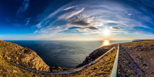
But in fact this is not quite true. And somewhere, even, to put it mildly, an exaggeration. In fact, we have reached the North Cape on the 10th day the way, traveling five thousand kilometers, that is not the half and a third. And Nordkapp was not the most nordkapny ... Yes, and the review will be a thought to put the soul ... Well traveled.
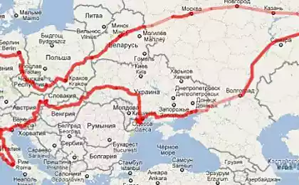
So, for 29 days of travel this route came here.
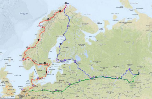
It is slightly different from the one we had planned a visa when crossing the border. Nevertheless, it was the culmination of the North Cape, the apex. On the map it is clear, as we climbed it Sinenky track and then slid down the reds.
Actually the North Cape is on a huge granite rock in the height of 300 meters. And this ball, which is all about taking pictures, is its main symbol.
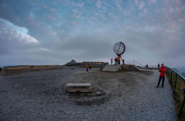
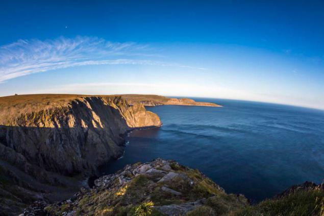
Although, (returning to the question of the true nordkapnosti) Nearby Cape Knivskjellodden, here it is in this picture, north of the North Cape for a good half kilometer. But he had no luck, and the North Cape was appointed his neighbor.
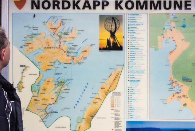
The map is visible to this blatant injustice. But if you delve further, it becomes clear that the North Cape in general is on the island (Mageroya), rather than on the mainland. And judging by the islands, that any Svalbard (also part of Europe) where nordkapnee our North Cape! In general, the North Cape to the appointment of the northernmost point of Europe it is dark. It's obviously not without corruption schemes.
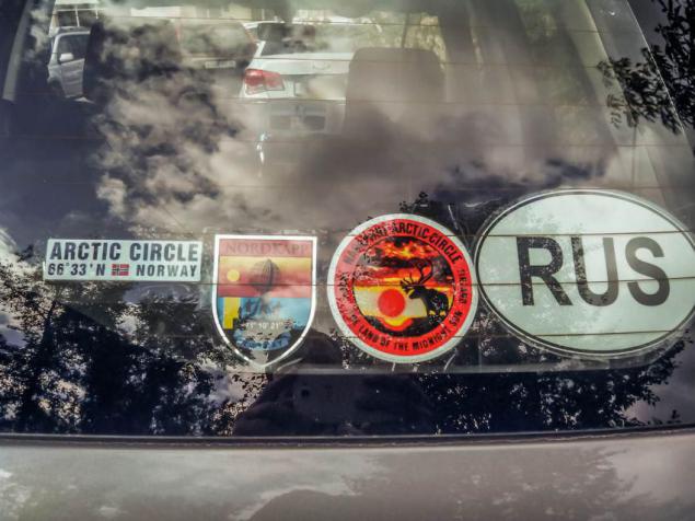
But let's leave the dark past, take the North Cape and little trophies decorate avtomobilchik. North Cape is located above the Arctic Circle, so we had to double-cross the circle - in Finland and Norway. That also marked the capture of trophies and decoration of cars.
Finnish circle, which we crossed, located in Lapland, near Rovaniemi, carefully furnished and is marked by a line on the ground. North of this line, the sun at the winter solstice and does not rise. And take a step forward - and it will appear on the horizon. At the summer solstice, everything happens exactly the opposite - above the circle the sun never sets. Miracles! However, we do not see as overlapping circles in August and September, but the expeditionary geographers argue that the way it is.
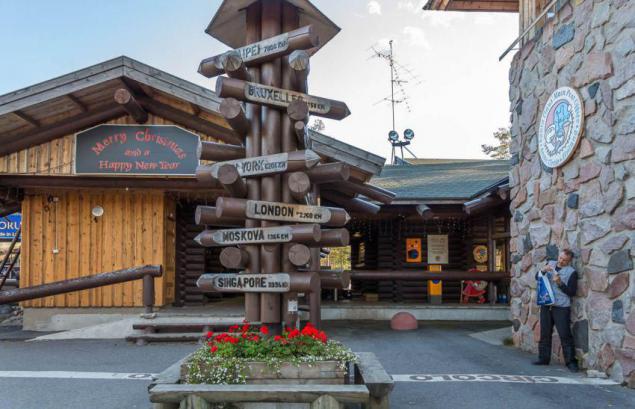
Without thinking twice, near the Arctic Circle settled Joulupukki. He is Santa Claus, he is Santa Claus, also known as Mun Calles, he's Manka Bonds ... sorry, skidded.
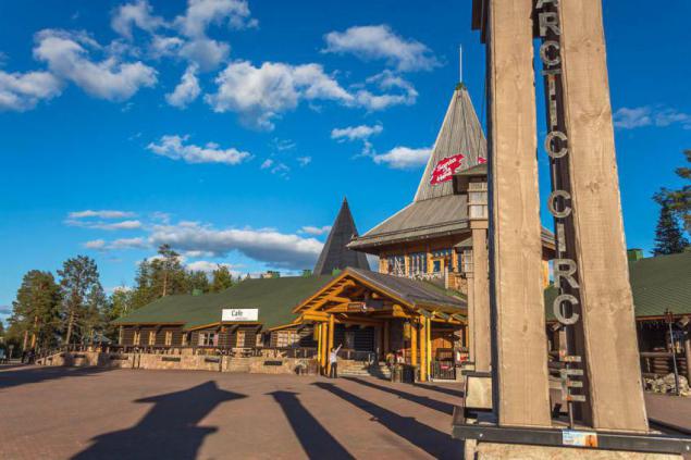
Build an office here, post, cafes, souvenir shops and hotels, in general the whole village of Santa Claus and is quite successful business.
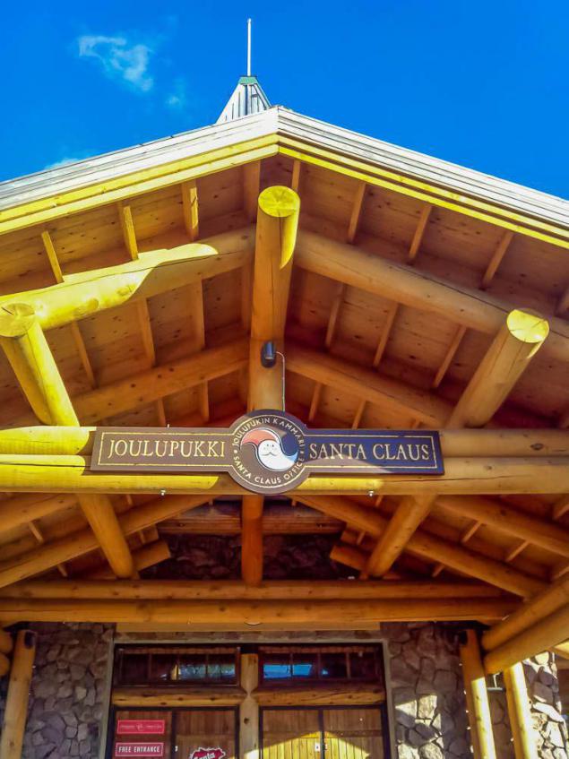
Norwegian range of 500 km to the west, and looks much more severe, however, as the whole of Norway.
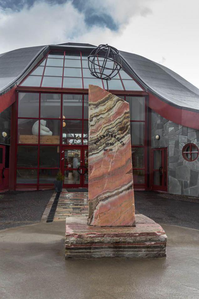
The Swedish border is 6 km behind and then leaden clouds, humidity, rain,

... And houses of stone trolls. Such swarms houses are everywhere in Northern Norway, especially in the sights. Expedition sysadmin put forward the theory that here, users are building houses for the trolls to guard against trolling the Internet.
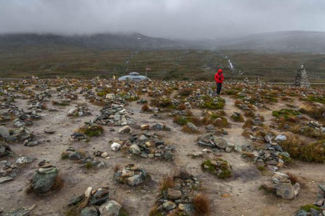
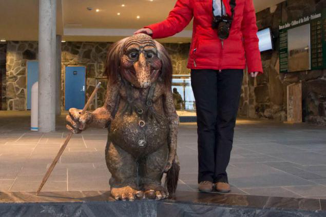
But before the invention of the Internet in small houses hid the other trolls. Here's one of them stuffed in the North Cape. However, they were placed in these stones, I'll never know.
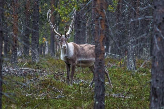
The first deer, we met a few kilometers after crossing the Arctic Circle to the north. The latter - a few kilometers before crossing to the south. Therefore expeditionary biologists concluded that deer clearly watch over the border and live strictly within the polar zone. No way, the result of an ancient taboo Joulupukki ...
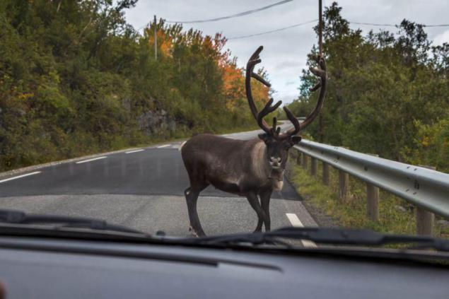
The deer then thrown under the car,
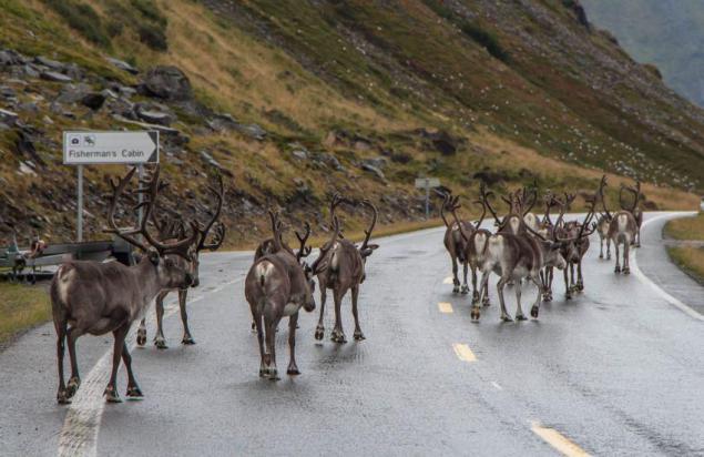
crowds block the highway,
look in the window
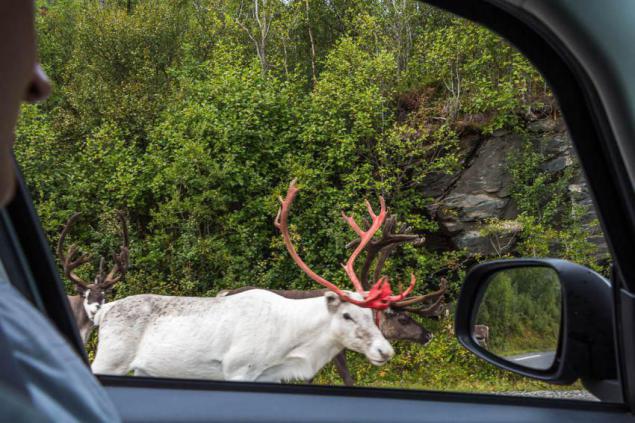
and graze along roads. Pretty surprised by their size. It turns out, they are small, the size of a large dog. Or with a small calf. But beautiful. Especially horns.
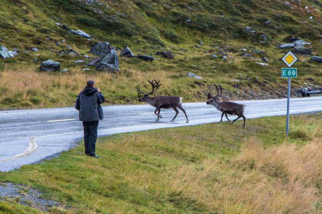
Of course, besides deer, we came across on the road and more commonplace animals, such as spherical sheep in the mountains,
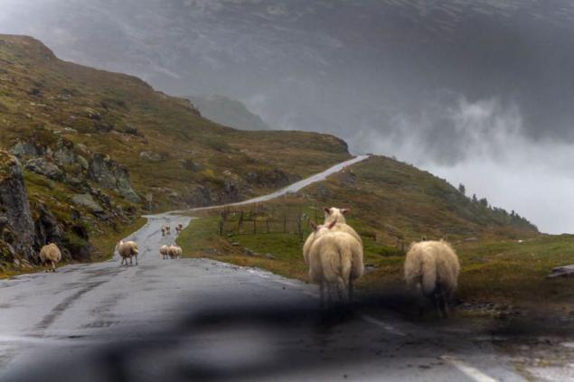
or long-tailed horses on the slopes,
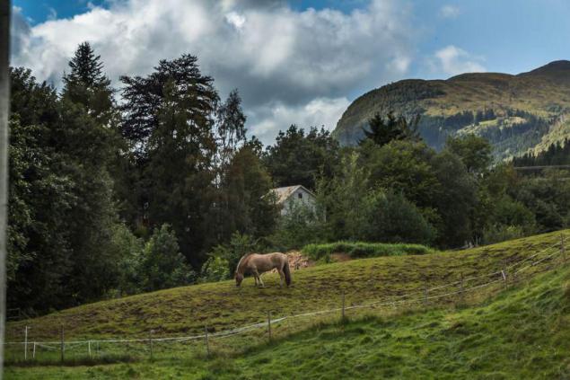
nepuglivyh or birds, it is important to march across the parapet,
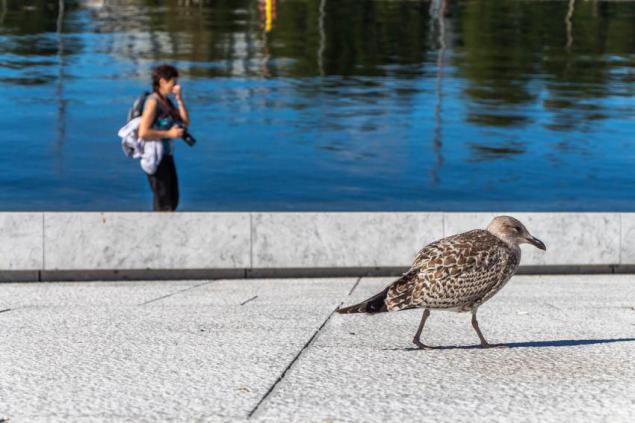
but the deer on the ocean - the most memorable sights of livestock.
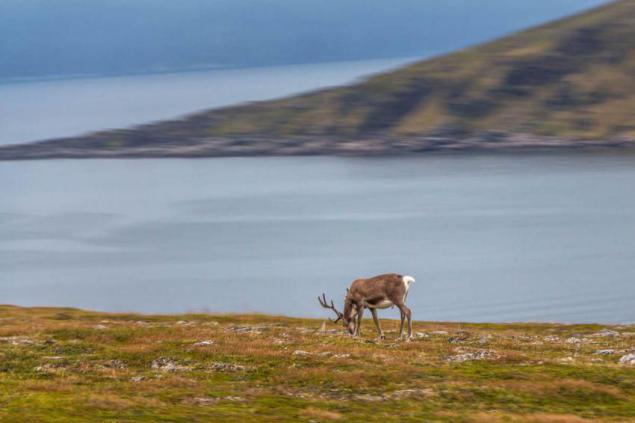
By the way, the first time we have reached the ocean hundreds of kilometers from the North Cape. And he presented the Barents Sea. Or rather, the Gulf Porsangerfjord. We drove along it is not one kilometer before the expedition navigators oriented and reported, and that's the Arctic Ocean! He Barents Sea, he also Porsangerfjord aka Ella Katsnelboge ... Ugh. In general, later. Feel. And, indeed, solёnenky!
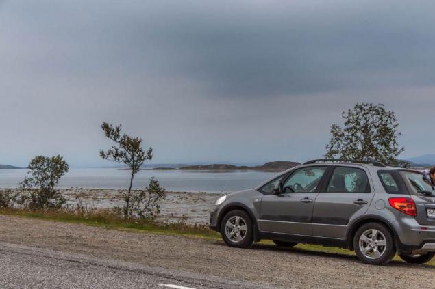
The next morning at Nordkapp ocean shine ...
But in Norway, it was rare. Most - heavy clouds, chilly wind, humidity, rain.
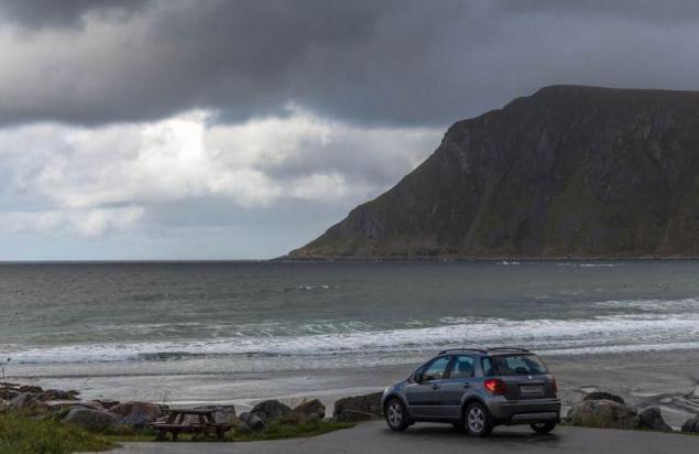
And rarely where the path was open sea. Almost always, bays, fjords, cliffs, mountains ...
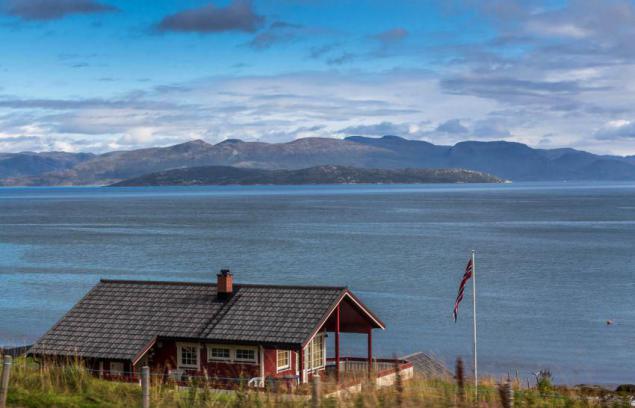
But maritime attributes available - soft sand,
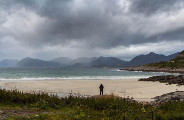
according to which, despite the 10-degree,
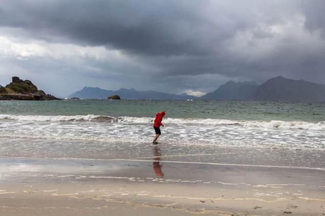
I wanted to run barefoot. However, not taking off coats.
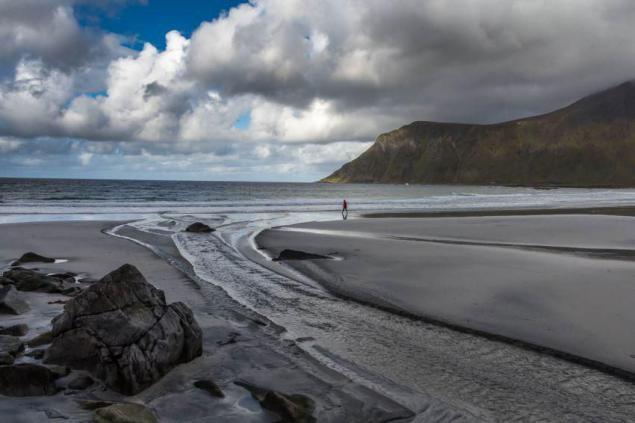
Tag ocean - and these jellyfish in the water
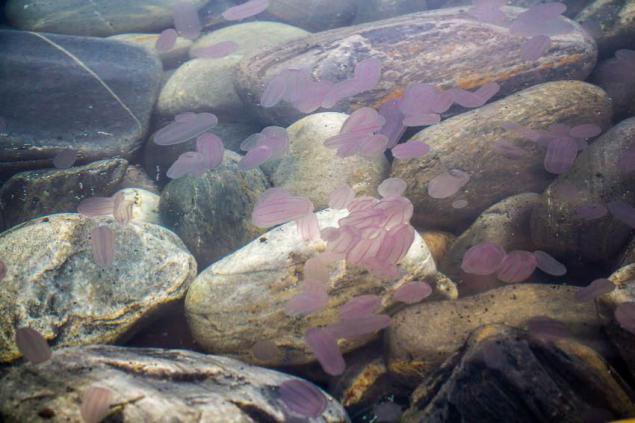
and scurrying between fish,
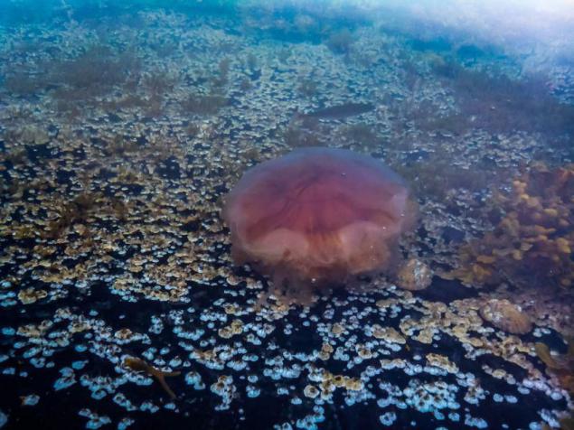
with accompanying fishermen
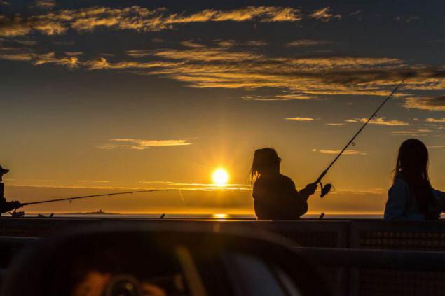
Although there are fish in these rivers Finnish polar quiet ...
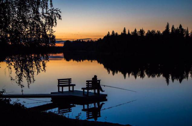
and in such straits between the Baltic islands of the Finnish ... speak. We do no not caught.
Baltic Sea in contrast to the Norwegian Sea to the form does not look like the sea ... more Lake.
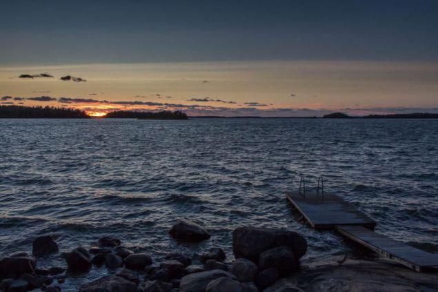
And on the part of Sweden where we were on the 19th day - the same. Only a small salinity issues belonging seas.
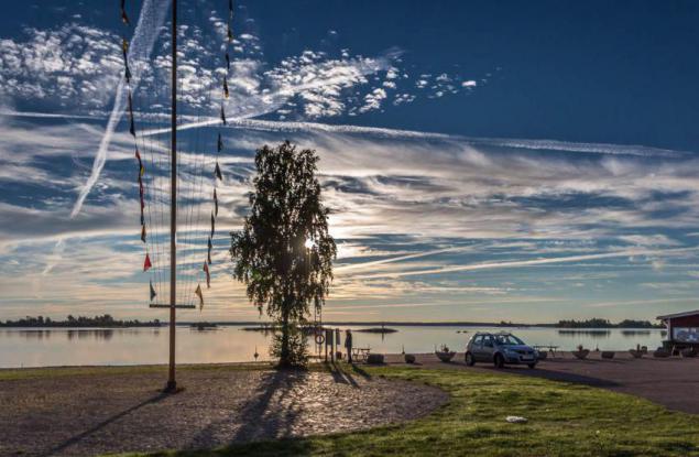
In Norway, in addition to the sea there are beautiful lakes such as this.
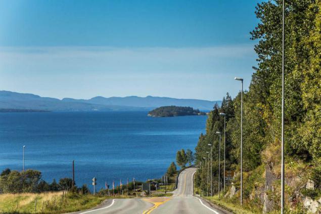
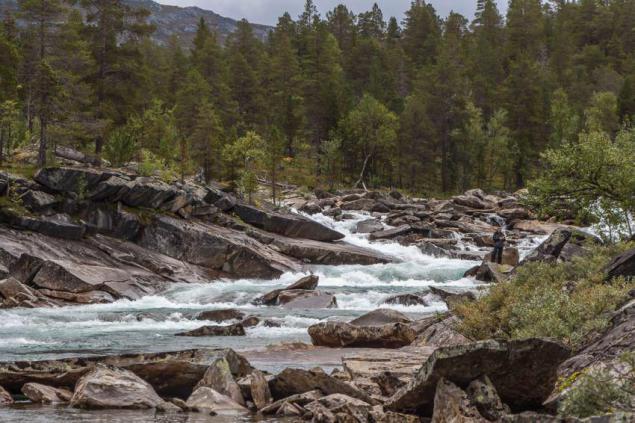
And turbulent mountain rivers.
But all the more beautiful in Norway - the fjords. Here on this Aurlandsford we went half a kilometer above the first layer of clouds. Fjord crept deeper into Scandinavia and a half hundreds of kilometers from the ocean.
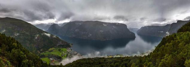
And despite the chilly and damp, there did not want to leave.
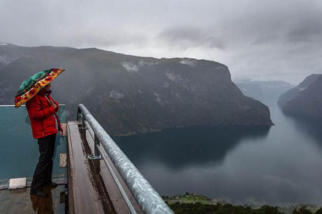
This small Vineford, just 50 km from the Norwegian Sea.
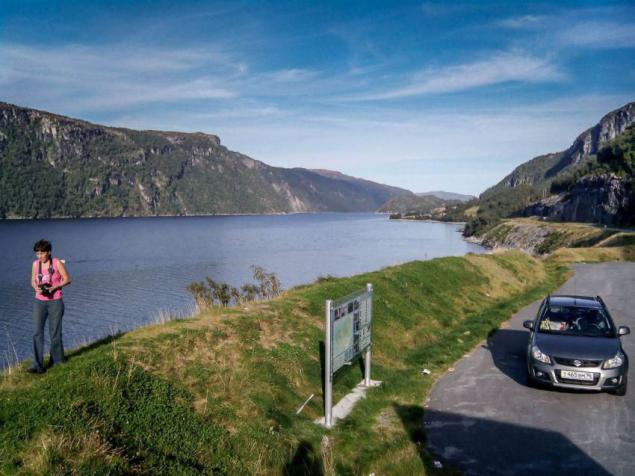
Yes, the fjords below, too wonderful.
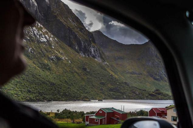
Although there is not easy to make out where the fjord, where a mountain or a lake.
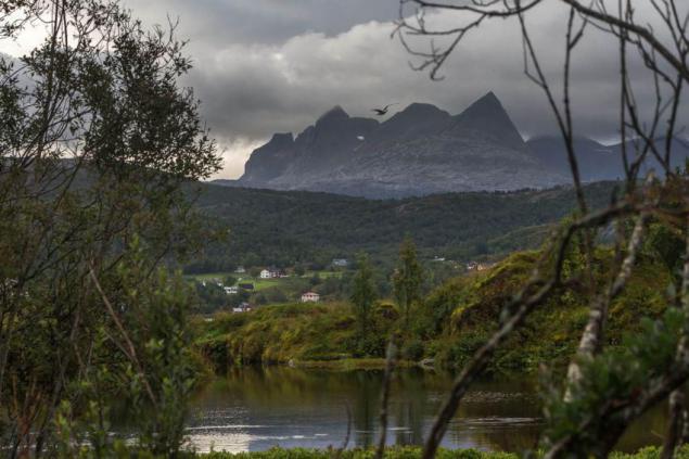
Clouds cover the tops
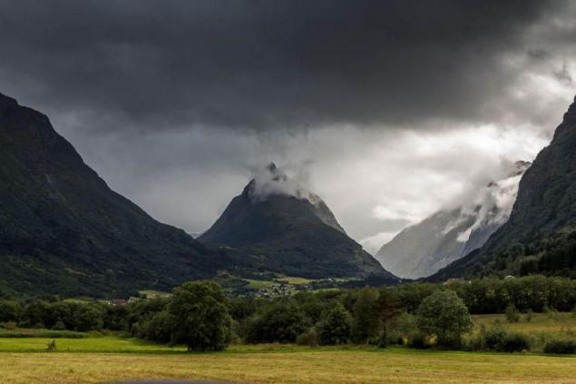
Beautiful lake with houses hidden in the foothills
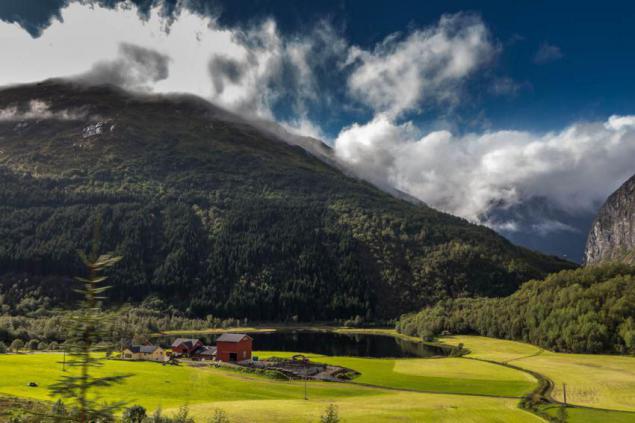
Fishermen preparing for vyalyanyu cod in Lofoten.
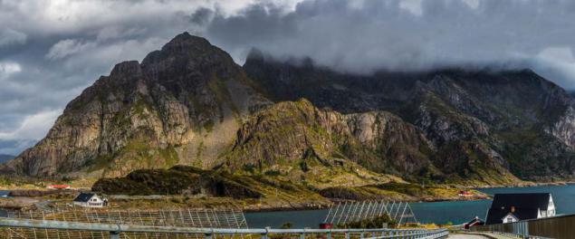
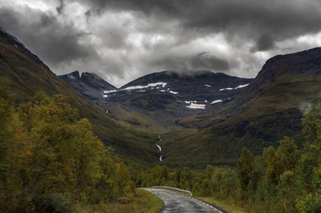
At the top of the mountains, despite the August snow.
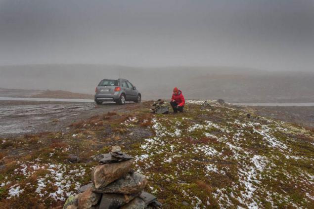
Once we managed to get up almost a kilometer and a half
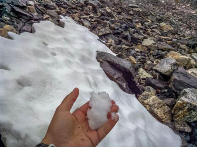
feel the snow. What can I say? Snow is snow. Familiar to us. A temperature of around zero at the top, when the bottom of +10 - +15.
Very impressed by the numerous waterfalls.
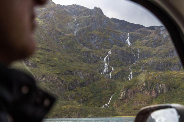
They are there at every step, large and small,
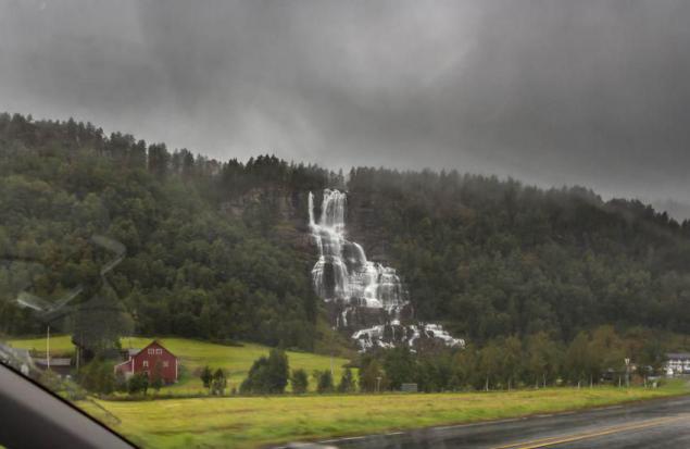
wide and narrow.
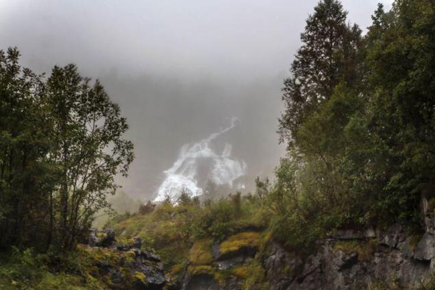
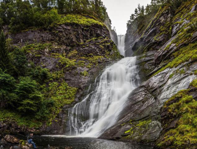
One of them, Huldefossen, we got pretty close. But swim somehow did not dare. Walrus spirits a little.
In general, the water in Norway around, from all sides. And almost continuous rains.
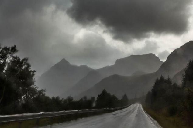
Dampness quite chilly, but is compensated by the beauty around.
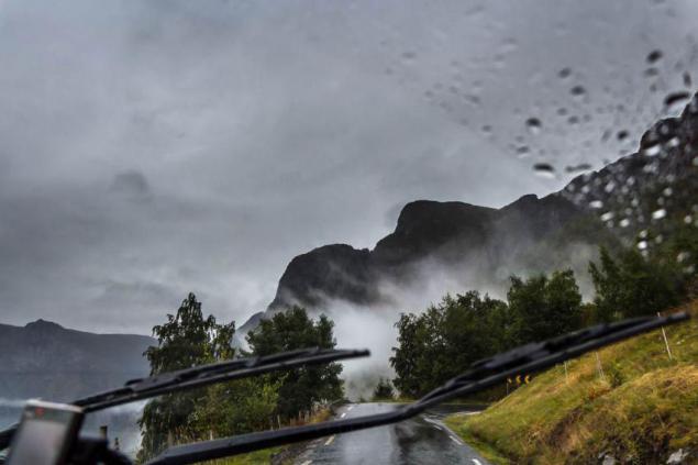
After such a crude way, we believed that the machine is pretty dingy. But it was not there! Another paradox of Norway - are pouring rain and cleanest on the road do not have any dirt. After three days of travel in Russia, we had to wash off the dirt road in Finland here in this machine. On the way back we had rinsed the same in Poland. From Norwegian wet dirt is not all.
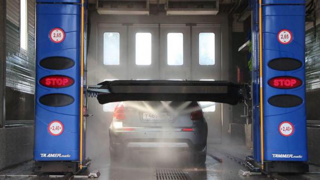
The water is very clean everywhere. Interestingly, one of the expedition cooks tried to boil water in the boiler based on the electrical conductivity of the water, so it did not work! The water is so little impurities that it does not conduct current.
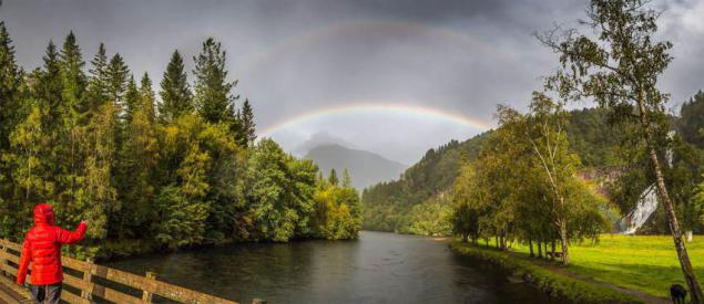
Sometimes the clouds disperse a little, the sun peeps and there are numerous rainbow over the roads,
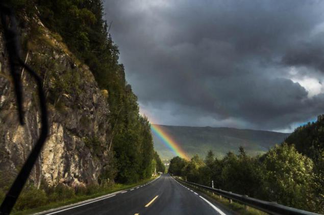
village
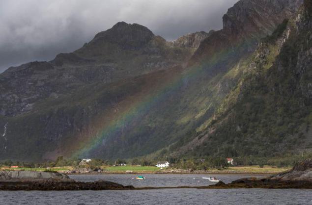
and rivers
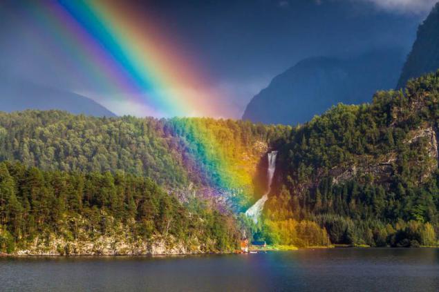
It comes directly from the Rainbow Huldefossen, to the waterfall, which we walked.
Even in the Arctic very well, a lot of berries.
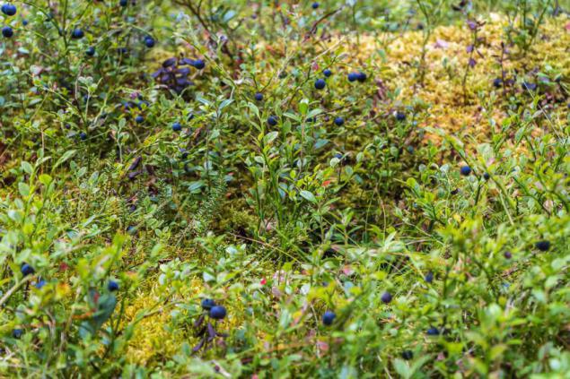
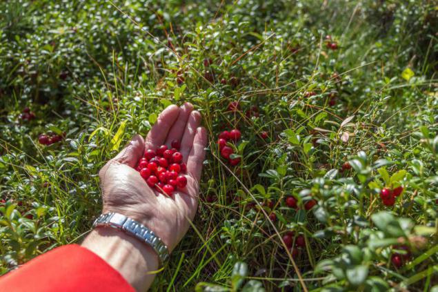
Stops at a clearing, and there is no place to step, berry carpet underfoot. Cranberries, blueberries almost the size of a cherry.
And mushrooms - boletus, aspen, mushrooms, russula, mushrooms ...
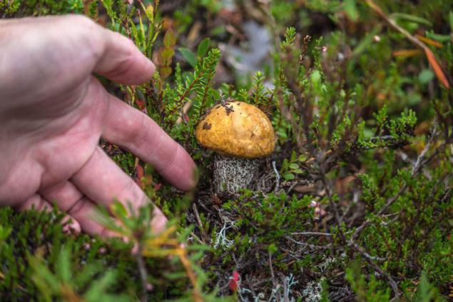
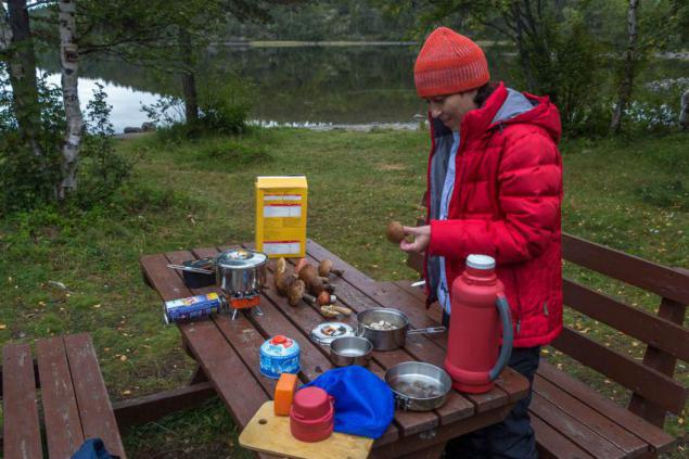
It could gather up food for dinner that we have successfully and put into practice, since the Norwegian food stores pretty road.
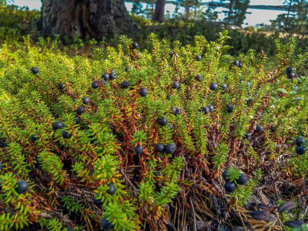
There were also unfamiliar berries. It seems to be edible, not poisoned. But how are called - to know.
But all this stuff of life. The main impression from Norway - a stunning scenery.
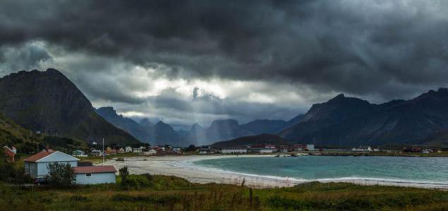
For every turn offers something new
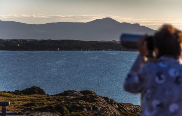
The mountains, sea, road
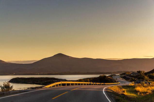
Houses, meadows ...
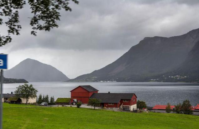
Bored on the road was quite busy, only manage to gasp and admire.
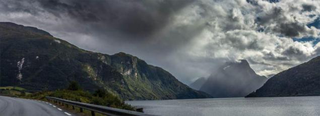
Of course, well-groomed and civilized Europe, too, is something to see, but the landscape, where there are no mountains, mostly flat and boring, we investigated last year.
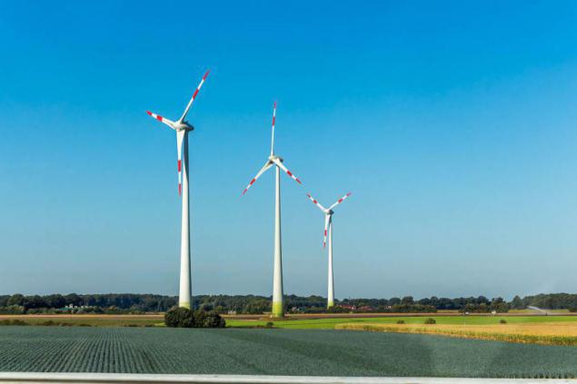
Is that the wind turbines that in Norway there are no superfluous, still impressive.
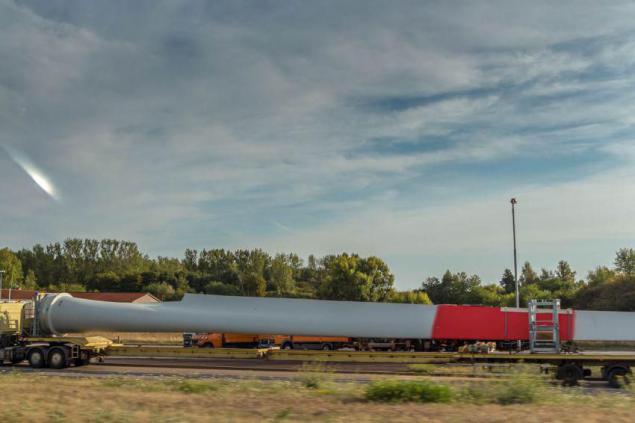
The scale of such structures are clear from the form of a wind turbine blade, which is transported on a trailer ... even in the frame is not climbed.
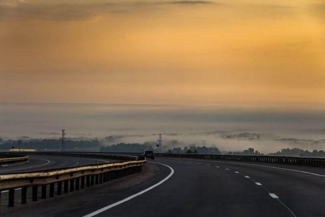
In Russia, too, encountered landscapes, and sometimes even small areas near the European road, like that's about Mamadysh.
And in Norway, why something entirely narrow roads.
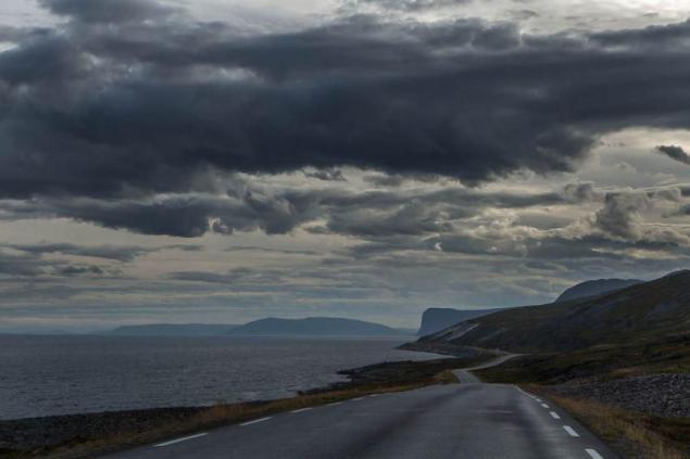
According to one lane in each direction.
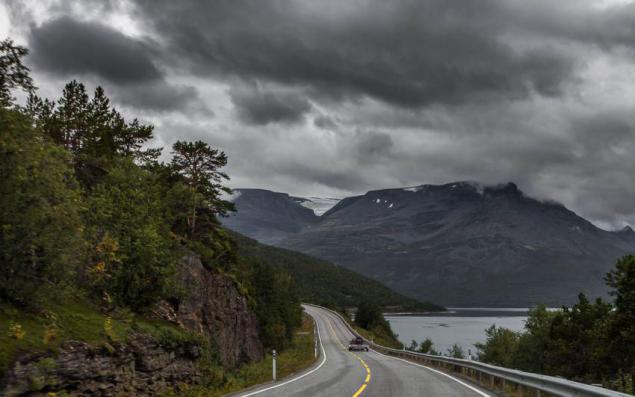
The winding and leisurely.
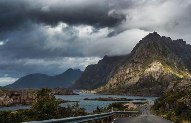
But without holes, as we do, and very beautiful.
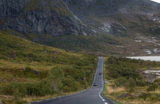
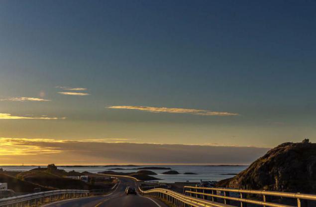
But everywhere awfully narrow.
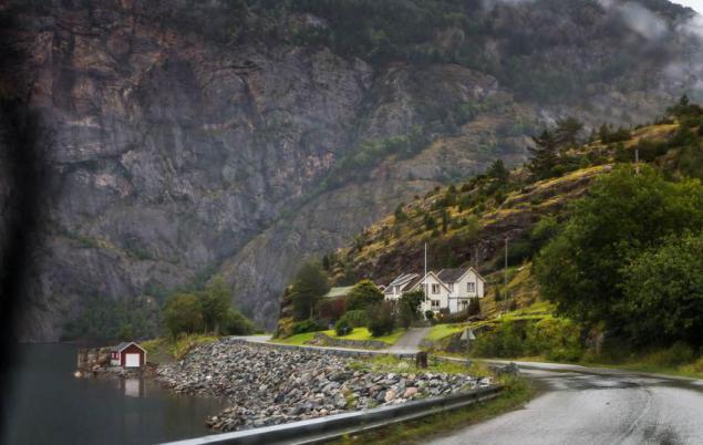
Although in some places and they are trying to expand.
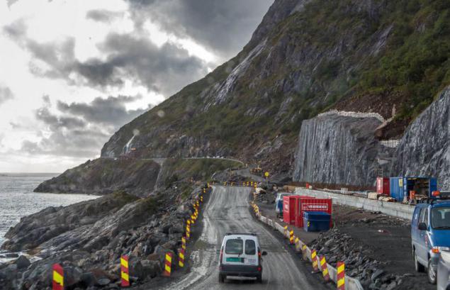
That these highways, as in Germany, in Norway there. Or we are not caught.
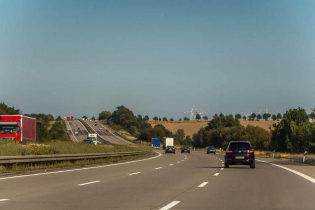
At the German autobahn with no speed limits measured top speed of cars, which it produces in the "sneaker on the floor" in a few minutes.
It turned 185 km / h on the speedometer, or 175 km / h on the GPS.
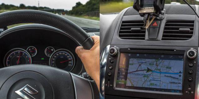
Fuel consumption at the same time reached 13L / 100 km. What's more ardor cools in these races (German price of gasoline about 70 rubles per liter), and makes the stick more comfortable compromise in the 120-130 km / h at a rate of about 8-9 liters.
Around Petersburg also built a nice track - Ring Road, Ring Road, along which we drove for 30 rubles.
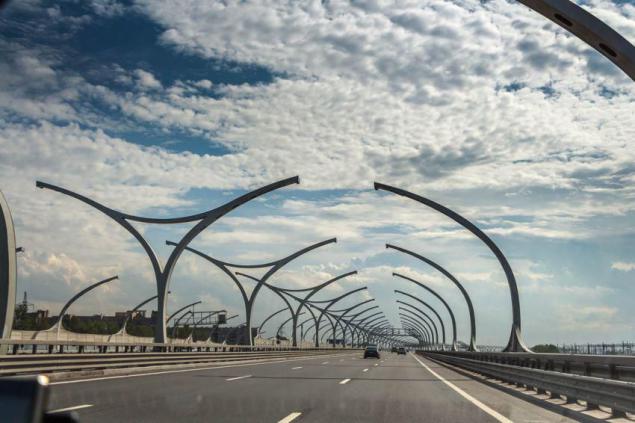
But we still are able to only small portions of high quality. As a result - from Moscow to St. Petersburg, 720 km, we drove all day, almost 13 hours. And, for example from Amsterdam to the Polish border, 740 km, crossed over 9 hours per day driving the entire Netherlands and Germany.
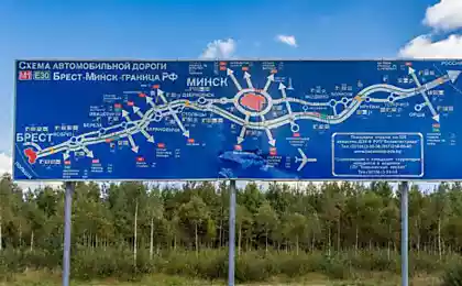
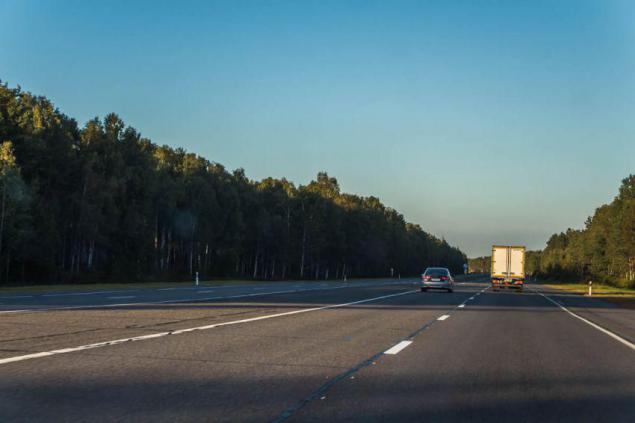
More like M1 Belarus from Brest to the Russian border. Belarus managed to create a very European way, with a speed limit of 120 km / h, crossing the entire country, not as we do, in small fragments. For example, here's the section of the road near the Ivantsevichy so good that it is used as an alternate airport for military aircraft SaveFrom.net. By the way, in Finland, we also passed a similar airfield site - Vuojärvi.
To be continued.
Source: alni.livejournal.com

But in fact this is not quite true. And somewhere, even, to put it mildly, an exaggeration. In fact, we have reached the North Cape on the 10th day the way, traveling five thousand kilometers, that is not the half and a third. And Nordkapp was not the most nordkapny ... Yes, and the review will be a thought to put the soul ... Well traveled.
So, for 29 days of travel this route came here.

It is slightly different from the one we had planned a visa when crossing the border. Nevertheless, it was the culmination of the North Cape, the apex. On the map it is clear, as we climbed it Sinenky track and then slid down the reds.
Actually the North Cape is on a huge granite rock in the height of 300 meters. And this ball, which is all about taking pictures, is its main symbol.

Although, (returning to the question of the true nordkapnosti) Nearby Cape Knivskjellodden, here it is in this picture, north of the North Cape for a good half kilometer. But he had no luck, and the North Cape was appointed his neighbor.

The map is visible to this blatant injustice. But if you delve further, it becomes clear that the North Cape in general is on the island (Mageroya), rather than on the mainland. And judging by the islands, that any Svalbard (also part of Europe) where nordkapnee our North Cape! In general, the North Cape to the appointment of the northernmost point of Europe it is dark. It's obviously not without corruption schemes.

But let's leave the dark past, take the North Cape and little trophies decorate avtomobilchik. North Cape is located above the Arctic Circle, so we had to double-cross the circle - in Finland and Norway. That also marked the capture of trophies and decoration of cars.

Finnish circle, which we crossed, located in Lapland, near Rovaniemi, carefully furnished and is marked by a line on the ground. North of this line, the sun at the winter solstice and does not rise. And take a step forward - and it will appear on the horizon. At the summer solstice, everything happens exactly the opposite - above the circle the sun never sets. Miracles! However, we do not see as overlapping circles in August and September, but the expeditionary geographers argue that the way it is.

Without thinking twice, near the Arctic Circle settled Joulupukki. He is Santa Claus, he is Santa Claus, also known as Mun Calles, he's Manka Bonds ... sorry, skidded.

Build an office here, post, cafes, souvenir shops and hotels, in general the whole village of Santa Claus and is quite successful business.

Norwegian range of 500 km to the west, and looks much more severe, however, as the whole of Norway.

The Swedish border is 6 km behind and then leaden clouds, humidity, rain,

... And houses of stone trolls. Such swarms houses are everywhere in Northern Norway, especially in the sights. Expedition sysadmin put forward the theory that here, users are building houses for the trolls to guard against trolling the Internet.

But before the invention of the Internet in small houses hid the other trolls. Here's one of them stuffed in the North Cape. However, they were placed in these stones, I'll never know.

The first deer, we met a few kilometers after crossing the Arctic Circle to the north. The latter - a few kilometers before crossing to the south. Therefore expeditionary biologists concluded that deer clearly watch over the border and live strictly within the polar zone. No way, the result of an ancient taboo Joulupukki ...

The deer then thrown under the car,

crowds block the highway,

look in the window

and graze along roads. Pretty surprised by their size. It turns out, they are small, the size of a large dog. Or with a small calf. But beautiful. Especially horns.

Of course, besides deer, we came across on the road and more commonplace animals, such as spherical sheep in the mountains,

or long-tailed horses on the slopes,

nepuglivyh or birds, it is important to march across the parapet,

but the deer on the ocean - the most memorable sights of livestock.

By the way, the first time we have reached the ocean hundreds of kilometers from the North Cape. And he presented the Barents Sea. Or rather, the Gulf Porsangerfjord. We drove along it is not one kilometer before the expedition navigators oriented and reported, and that's the Arctic Ocean! He Barents Sea, he also Porsangerfjord aka Ella Katsnelboge ... Ugh. In general, later. Feel. And, indeed, solёnenky!

The next morning at Nordkapp ocean shine ...
But in Norway, it was rare. Most - heavy clouds, chilly wind, humidity, rain.

And rarely where the path was open sea. Almost always, bays, fjords, cliffs, mountains ...

But maritime attributes available - soft sand,

according to which, despite the 10-degree,

I wanted to run barefoot. However, not taking off coats.

Tag ocean - and these jellyfish in the water

and scurrying between fish,

with accompanying fishermen

Although there are fish in these rivers Finnish polar quiet ...

and in such straits between the Baltic islands of the Finnish ... speak. We do no not caught.
Baltic Sea in contrast to the Norwegian Sea to the form does not look like the sea ... more Lake.

And on the part of Sweden where we were on the 19th day - the same. Only a small salinity issues belonging seas.

In Norway, in addition to the sea there are beautiful lakes such as this.

And turbulent mountain rivers.

But all the more beautiful in Norway - the fjords. Here on this Aurlandsford we went half a kilometer above the first layer of clouds. Fjord crept deeper into Scandinavia and a half hundreds of kilometers from the ocean.

And despite the chilly and damp, there did not want to leave.

This small Vineford, just 50 km from the Norwegian Sea.

Yes, the fjords below, too wonderful.

Although there is not easy to make out where the fjord, where a mountain or a lake.

Clouds cover the tops

Beautiful lake with houses hidden in the foothills

Fishermen preparing for vyalyanyu cod in Lofoten.

At the top of the mountains, despite the August snow.

Once we managed to get up almost a kilometer and a half

feel the snow. What can I say? Snow is snow. Familiar to us. A temperature of around zero at the top, when the bottom of +10 - +15.

Very impressed by the numerous waterfalls.

They are there at every step, large and small,

wide and narrow.

One of them, Huldefossen, we got pretty close. But swim somehow did not dare. Walrus spirits a little.

In general, the water in Norway around, from all sides. And almost continuous rains.

Dampness quite chilly, but is compensated by the beauty around.

After such a crude way, we believed that the machine is pretty dingy. But it was not there! Another paradox of Norway - are pouring rain and cleanest on the road do not have any dirt. After three days of travel in Russia, we had to wash off the dirt road in Finland here in this machine. On the way back we had rinsed the same in Poland. From Norwegian wet dirt is not all.

The water is very clean everywhere. Interestingly, one of the expedition cooks tried to boil water in the boiler based on the electrical conductivity of the water, so it did not work! The water is so little impurities that it does not conduct current.
Sometimes the clouds disperse a little, the sun peeps and there are numerous rainbow over the roads,

village

and rivers

It comes directly from the Rainbow Huldefossen, to the waterfall, which we walked.

Even in the Arctic very well, a lot of berries.

Stops at a clearing, and there is no place to step, berry carpet underfoot. Cranberries, blueberries almost the size of a cherry.

And mushrooms - boletus, aspen, mushrooms, russula, mushrooms ...

It could gather up food for dinner that we have successfully and put into practice, since the Norwegian food stores pretty road.

There were also unfamiliar berries. It seems to be edible, not poisoned. But how are called - to know.

But all this stuff of life. The main impression from Norway - a stunning scenery.

For every turn offers something new

The mountains, sea, road

Houses, meadows ...

Bored on the road was quite busy, only manage to gasp and admire.

Of course, well-groomed and civilized Europe, too, is something to see, but the landscape, where there are no mountains, mostly flat and boring, we investigated last year.
Is that the wind turbines that in Norway there are no superfluous, still impressive.

The scale of such structures are clear from the form of a wind turbine blade, which is transported on a trailer ... even in the frame is not climbed.

In Russia, too, encountered landscapes, and sometimes even small areas near the European road, like that's about Mamadysh.

And in Norway, why something entirely narrow roads.

According to one lane in each direction.

The winding and leisurely.

But without holes, as we do, and very beautiful.


But everywhere awfully narrow.

Although in some places and they are trying to expand.

That these highways, as in Germany, in Norway there. Or we are not caught.

At the German autobahn with no speed limits measured top speed of cars, which it produces in the "sneaker on the floor" in a few minutes.
It turned 185 km / h on the speedometer, or 175 km / h on the GPS.

Fuel consumption at the same time reached 13L / 100 km. What's more ardor cools in these races (German price of gasoline about 70 rubles per liter), and makes the stick more comfortable compromise in the 120-130 km / h at a rate of about 8-9 liters.
Around Petersburg also built a nice track - Ring Road, Ring Road, along which we drove for 30 rubles.

But we still are able to only small portions of high quality. As a result - from Moscow to St. Petersburg, 720 km, we drove all day, almost 13 hours. And, for example from Amsterdam to the Polish border, 740 km, crossed over 9 hours per day driving the entire Netherlands and Germany.
More like M1 Belarus from Brest to the Russian border. Belarus managed to create a very European way, with a speed limit of 120 km / h, crossing the entire country, not as we do, in small fragments. For example, here's the section of the road near the Ivantsevichy so good that it is used as an alternate airport for military aircraft SaveFrom.net. By the way, in Finland, we also passed a similar airfield site - Vuojärvi.
To be continued.

Source: alni.livejournal.com
