483
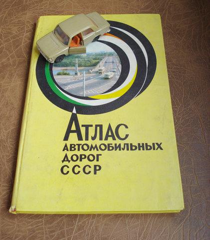
GPS navigator of 1975
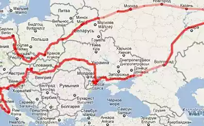
Atlas is designed for motorists who need guide on the roads of the Soviet Union. Maps satin cover that part of the territory of the USSR, where there are roads.
Map scale 1: 1 600 000 (1 cm 16 km), 1: 1 750 000 (1 cm 17, 5 km), 1: 2 500 000 (1 cm 25 km) 1: 3 000 000 (1 cm 30 km), 1: 4 000 000 (1 cm 40 km).
The maps accurately specified mileage between the settlements. Separate icons are shown filling stations, camping.
Despite the existence of the mass of electronic maps, the atlas of modern navigation and relevant today.
Main Department of Geodesy and Cartography under the USSR Council of Ministers.
Moscow 1975.
via \ 76-82
Source:
Map scale 1: 1 600 000 (1 cm 16 km), 1: 1 750 000 (1 cm 17, 5 km), 1: 2 500 000 (1 cm 25 km) 1: 3 000 000 (1 cm 30 km), 1: 4 000 000 (1 cm 40 km).
The maps accurately specified mileage between the settlements. Separate icons are shown filling stations, camping.
Despite the existence of the mass of electronic maps, the atlas of modern navigation and relevant today.
Main Department of Geodesy and Cartography under the USSR Council of Ministers.
Moscow 1975.
via \ 76-82

Source: