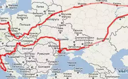
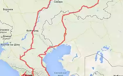
750
Prior to the Turkmen border and back
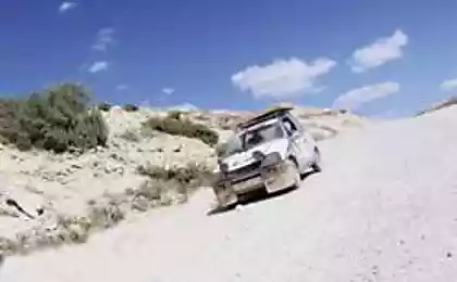
Rode recently (January 17, 2013) from Aktau to the Turkmen border and back in Aktau. The quality of pictures is probably not as fountain fotkal through a dirty windshield and brake, get out it was cold and windy. Well traveled. I will be also in the process of compressing photo, but it is also definitely not the best impact on the image, do not blame me if Che ...
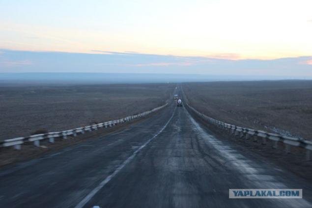
First photo - the beginning of the descent into depression Karagiye time 08.30 hour.
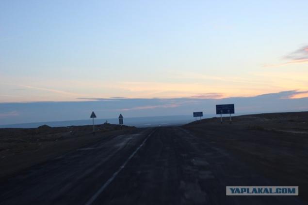
We get down. Lays his ears.
Karagiye also Batir - depression on Mangyshlak Peninsula, near the eastern coast of the Caspian Sea, about 50 km from the city of Aktau. The deepest dry basin in Kazakhstan and one of the deepest in Asia (132 m below sea level).
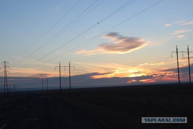
We go to the bottom of the basin. Starts up the sun.
Name of depression associated with the Turkic Karak where the punishment - the "black" and the cue - "steep slope" that very accurately reflects the nature of this steep troughs. In another version of the name means "black jaws».
The second title of depression - Batir - originates from the Turkic tribal names Batyr (translated as "warrior»).
Depression has the outlines of irregular oval with scalloped ridges, elongated in the south-east. The length of the basin is 85 km, width - 25 km.
Education depression associated with the process of leaching of salt rock, with subsidence and karst processes that took place on the coast of the Caspian Sea. At the heart of the karst is vanishing and dissolving activity underground natural waters. Underground water seeping to the lower crack, available in limestone, dolomite and gypsum, gradually dissolved rocks, widened the cracks developed deep and narrow chasm. The walls and the bed of the recesses, expanding, creating huge craters and caves. With the expansion of their caves ceilings and walls fell upon the weight of the overlying layers. This process is repeated continuously, and was sent into the depths of the earth where more underlain salt-and calcareous rocks. The result was an enormous void that is filled with crushed rock; there were craters, blind valleys, niches and caves, hollows, cavities, passages, natural wells. These processes are not stopped and now: the continuing relief-forming processes in the basin indicate cliffs and ledges, dissected broad and deep gorges, ravines and gullies.
At the bottom of the basin is Lake Batir, the water level and the area is highly variable. When the lake dries out, the bottom of the depression becomes covered with salt marshes.
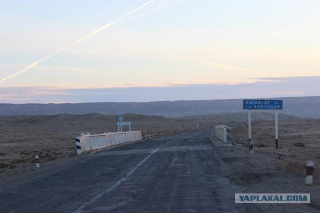
The bridge over the river Aschyagar flowing in the cavity.
Aschiagar - river in the Mangistau region of Kazakhstan. Located 40 km east of the city of Aktau.
The river is 150 km, the basin area of about 15,000 square kilometers. Source Aschiagara located on the southern slopes of the Karatau flows through the western part of the basin Karagiye and lost in the desert north of the village of Kuryk. The width of the channel of 10-50 m, height 1-4 meters off the coast.
The water is fresh. The river mostly snow. Average annual consumption of water at the mouth of about 5 m³ / s. In April, there is a flood with higher levels of 4-5 m above the normal. Freezes in mid-December (the thickness of the ice at the end of winter reaches 0, 5 m), opened in early March.
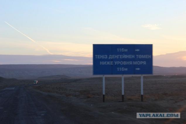
Index that the right is 116 meters below sea level.
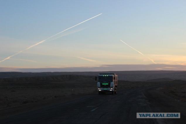
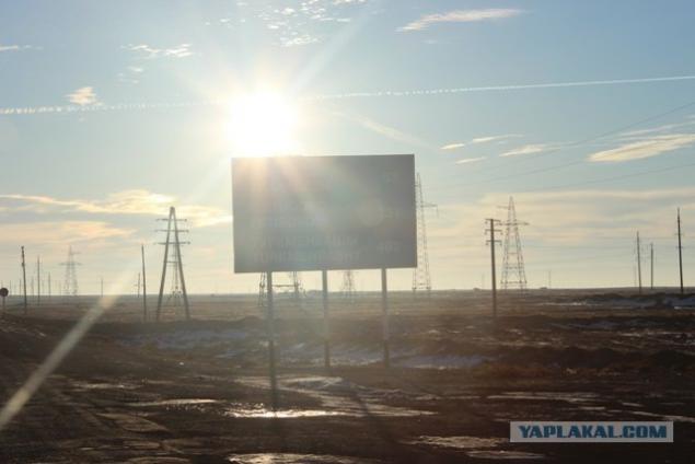
In the sky flying aircraft on the ground ezdyut trucks ...
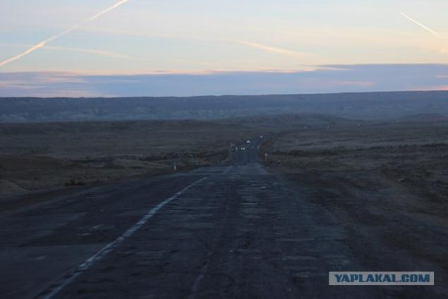
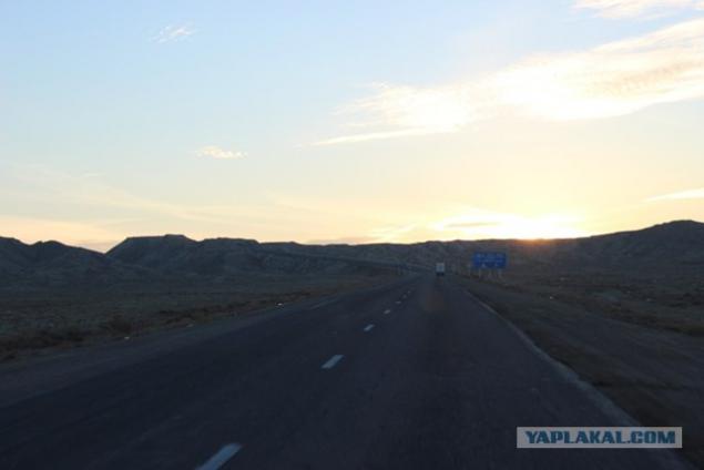
Begins the ascent of depression
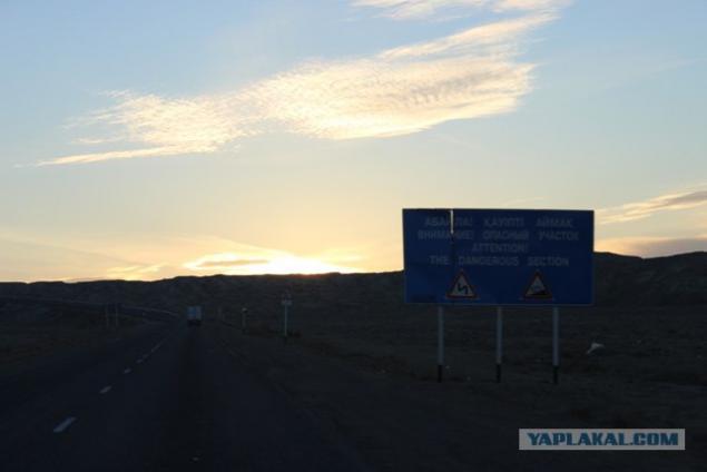
Attention. The dangerous part of the road
Slowly crawl up
Winding road. Along the edges of tombstones found dead drivers.
The last spurt and ...
... And we are the top
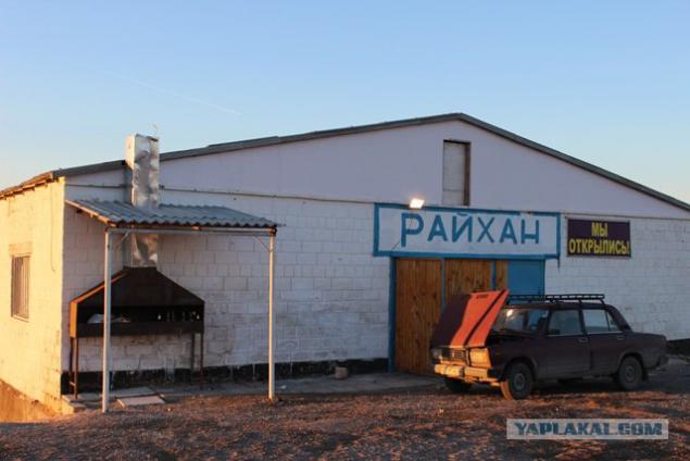
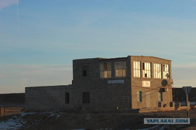
Roadside eatery
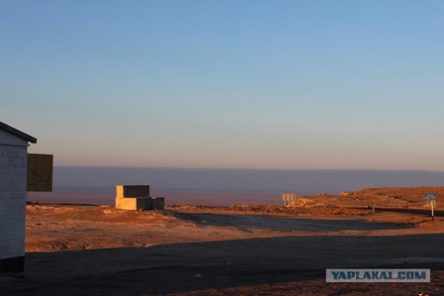
We look back at the trough
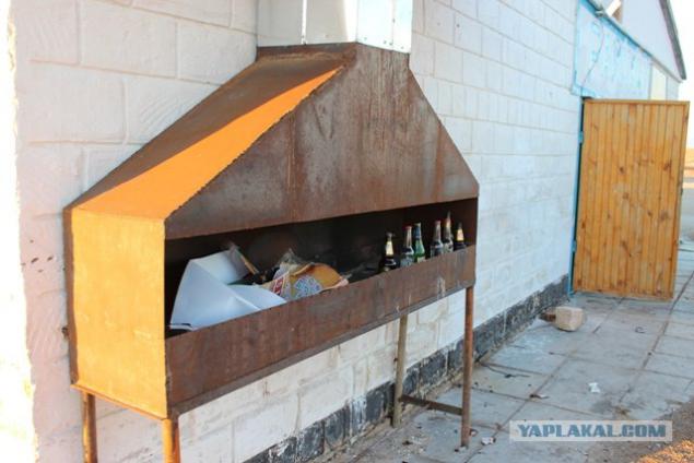
on the grill with garbage
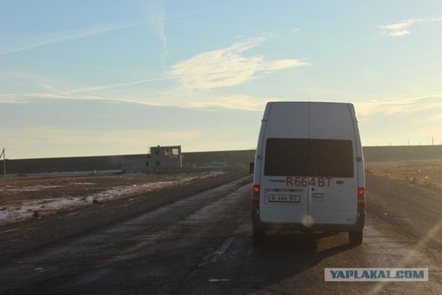
and continue on the path
We pass some abandoned catering
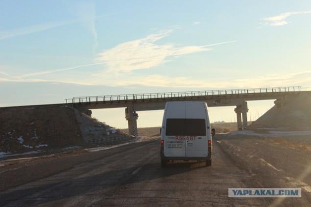
under the railway-bridge
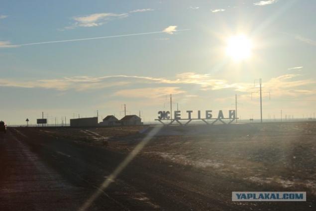
They came to the village Zhetybai
vehicles was Pobol
Zhetybai - urban-type settlement in the Mangistau region. The village is connected with the oil and gas fields Zhetybai.
Constant streams and reservoirs are absent. Desert vegetation, sparse. The climate is continental, very dry. Reminds planet Shelezyaka remember from the book "Alice's Journey."
along the road are RVSy, ie Vertical steel tanks designed for stationary storage of petroleum, petroleum products.
Zhetybai except settlement also a major oil and gas field. It belongs to the South Mangystau oil and gas area.
Zhetybai opened in July 5, 1961 at the well №6, it has received the first Mangistau oil.
Zhetybai
Development began in 1969. The deposits at a depth of 1, 7 - 2, 4 km. The initial production rate of wells 2 - 130 tons / day. The density of 0, 85 - 0, 86 g / cm³. Oil Zhetybaya light and medium density 830-870 kg / m³, resinous 4, 53-15, 5%, vysokoparafinistyh 17, 2-25%, sweet crude 0, 2-0, 28%. Asphaltenes content ranging from 0 to 3 9, 4%.
The field is in a late stage of development. To increase the production of oil are different technologies such as hydraulic fracturing, different RMS and ECI, etc. The geological oil reserves are 345 million tons of residual oil reserves amount to 68 million tons.
Currently, development of the field leads the Kazakh oil company, OAO "Mangistaumunaigas" and PU Zhetybaymunaygaz. Oil production in 2010 was 1, 12 million tons.
PU Zhetybaymunaygaz divided into workshops that develop the field, there are mining plant (CDNG) management who download water (TSPPD), research workshop (TSNIPR) plant, which processes crude oil into marketable (CPF), and others.
Bus stop
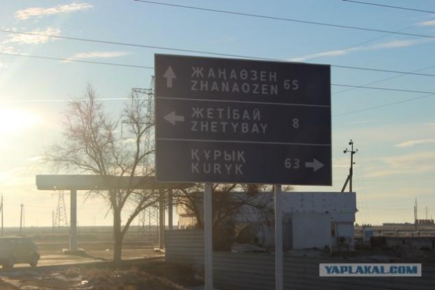
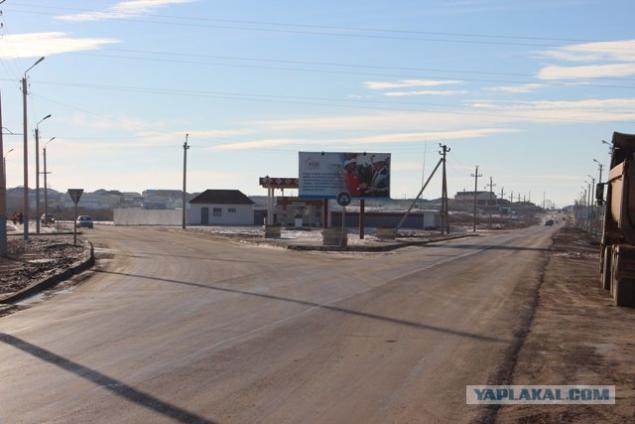
We are on the% of Bali is, to the village Zhetybai eight km., And we are at some kind of crossroads
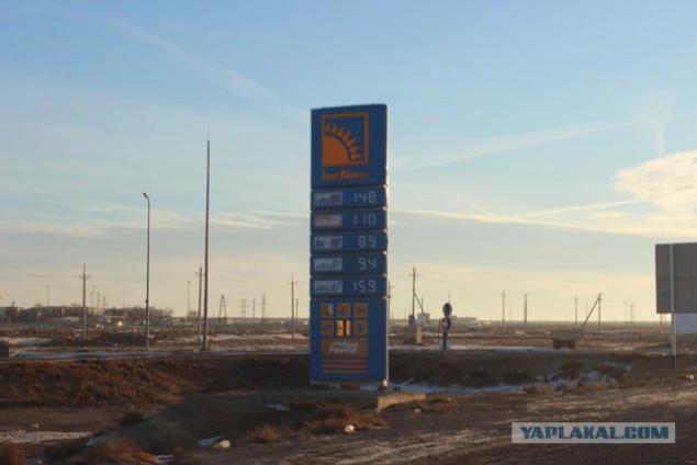
Fuel prices. Shown in tenge.
Kazakhstan tenge - the national currency of Kazakhstan.
The name "KZT" comes from the Turkic medieval silver coins "dengue" or "tanga", from which, in turn, took the name of Russian coins of the money and the word money.
The course for today:
1 US dollar - 150.65 tenge
1 Euro - 201.19 tenge
1 Russian ruble - 4.98 tenge
1 UAE dirham - 41.02 tenge
1 South African rand - 17.06 tenge
1 Kuwaiti Dinar - 536.31 tenge
The sun is already high
Go further
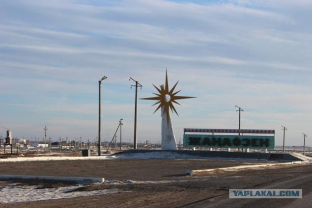
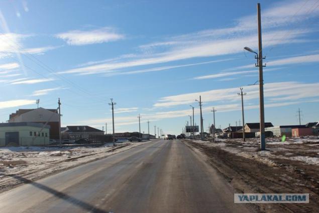
We drive to the town of Zhanaozen
Zhanaozen - a city of regional subordination in the Mangistau region of Kazakhstan.
It was established in 1968, it is situated on a plateau Mangyshlak (Mangystau). There is an airport. Since 1968, the city was called - New Uzen, it renamed Zhanaozen 7 October 1993.
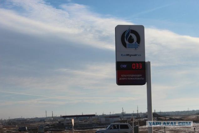
Invitation to the gas stations. Gas today is 33 tenge.
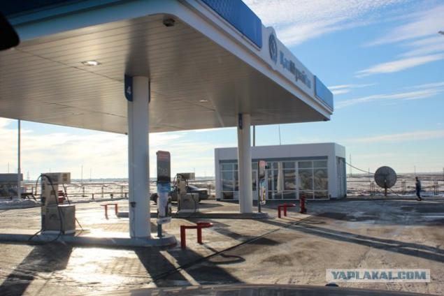
The station itself.
By the way in Zhanaozen is a large gas processing plant, which occupies an important place in the production-territorial complex of Mangistau. The plant provides a significant portion of domestic LPG, supplying the population of the region dry stripped gas and heating oil, provides the needs of the enterprises of the city of Zhanaozen technical oxygen.
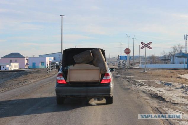
Tetris in the trunk
Suburb Zhanaozen. In Zhanaozen itself we will not go, we were in a different direction.
Incidentally 1. In June 1989 in Zhanaozen there were major disturbances on a national basis. Events in Novy Uzen or Novouzenskaya massacre - ethnic clashes 17 - June 28, 1989 in New Uzen Kazakh SSR between groups of Kazakhs and people from the Caucasus.
Riot combined elements of a strong social unrest, rampant hooliganism, youth rebellion, anti-Soviet propaganda and communal violence directed primarily against people from the Caucasus. The exact number of victims is unknown (called the numbers from 4 to 200 people). Archives uprising were partly destroyed, partly classified. The revolt was suppressed by special forces units, but almost all the non-Kazakh population urgently left town or were evacuated.
June 16, 1989 in Novy Uzen there was a fight at the dance floor between groups of young Kazakhs and people from the Caucasus. The uprising began on June 17.
June 19 The Supreme Council of the Kazakh SSR introduced in the city curfew. To suppress the clashes were involved armored personnel carriers, tanks, attack helicopters and other military equipment. Only on the fourth day failed to quell unrest. As a result of these events, several people were killed. It is noteworthy that it was in 1989, the share of Kazakhs in Novy Uzen first time exceeded the half and amounted to 50, 6%.
We stand at a fork. Left Zhanaozen, papravo settlement Tenge. We were right.
Incidentally 2. On 16 December 2011, seven months after the oil strike, the main square of Zhanaozen riots took place with the participation of internal troops with weapons that according to official data has led to the deaths of 17 people, according to unofficial data, killing about 90 people. It was argued that under the guise of oil was hired a group of people, which organized the riots. The troops were introduced, after which he was declared a curfew, which lasted more than a month.
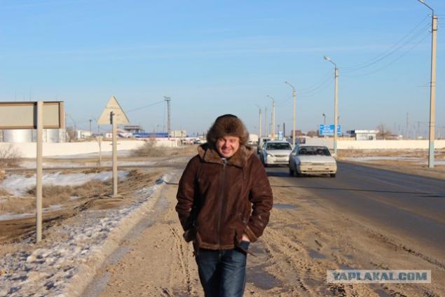
Korefan came out to stretch our legs.
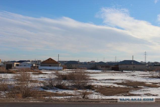
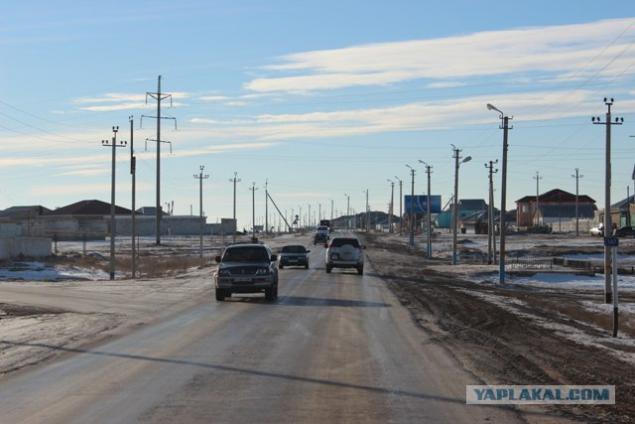
Going down the street pos.Tenge
Tenge - settlement in the Mangistau region of Kazakhstan, subordinate to the city administration of Zhanaozen. Located in close proximity to the city immediately after the settlement "Bayauyl." In the "Tenge" generally temporarily reside those who only iimigriroval to Kazakhstan from Turkmenistan, Uzbekistan and Karakalpakstan. Having saved enough money they leave the village, and in their place come new immigrants. Most of the villagers keep the cattle in the yards. Urban youth are often called "Tenge" - "Uzenskim Texas»
Pos.Tenge
Source:
First photo - the beginning of the descent into depression Karagiye time 08.30 hour.

We get down. Lays his ears.
Karagiye also Batir - depression on Mangyshlak Peninsula, near the eastern coast of the Caspian Sea, about 50 km from the city of Aktau. The deepest dry basin in Kazakhstan and one of the deepest in Asia (132 m below sea level).

We go to the bottom of the basin. Starts up the sun.
Name of depression associated with the Turkic Karak where the punishment - the "black" and the cue - "steep slope" that very accurately reflects the nature of this steep troughs. In another version of the name means "black jaws».
The second title of depression - Batir - originates from the Turkic tribal names Batyr (translated as "warrior»).

Depression has the outlines of irregular oval with scalloped ridges, elongated in the south-east. The length of the basin is 85 km, width - 25 km.
Education depression associated with the process of leaching of salt rock, with subsidence and karst processes that took place on the coast of the Caspian Sea. At the heart of the karst is vanishing and dissolving activity underground natural waters. Underground water seeping to the lower crack, available in limestone, dolomite and gypsum, gradually dissolved rocks, widened the cracks developed deep and narrow chasm. The walls and the bed of the recesses, expanding, creating huge craters and caves. With the expansion of their caves ceilings and walls fell upon the weight of the overlying layers. This process is repeated continuously, and was sent into the depths of the earth where more underlain salt-and calcareous rocks. The result was an enormous void that is filled with crushed rock; there were craters, blind valleys, niches and caves, hollows, cavities, passages, natural wells. These processes are not stopped and now: the continuing relief-forming processes in the basin indicate cliffs and ledges, dissected broad and deep gorges, ravines and gullies.
At the bottom of the basin is Lake Batir, the water level and the area is highly variable. When the lake dries out, the bottom of the depression becomes covered with salt marshes.

The bridge over the river Aschyagar flowing in the cavity.
Aschiagar - river in the Mangistau region of Kazakhstan. Located 40 km east of the city of Aktau.
The river is 150 km, the basin area of about 15,000 square kilometers. Source Aschiagara located on the southern slopes of the Karatau flows through the western part of the basin Karagiye and lost in the desert north of the village of Kuryk. The width of the channel of 10-50 m, height 1-4 meters off the coast.
The water is fresh. The river mostly snow. Average annual consumption of water at the mouth of about 5 m³ / s. In April, there is a flood with higher levels of 4-5 m above the normal. Freezes in mid-December (the thickness of the ice at the end of winter reaches 0, 5 m), opened in early March.

Index that the right is 116 meters below sea level.

In the sky flying aircraft on the ground ezdyut trucks ...

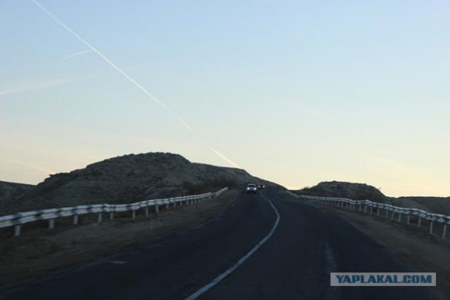
Begins the ascent of depression

Attention. The dangerous part of the road

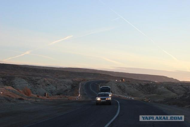
Slowly crawl up

Winding road. Along the edges of tombstones found dead drivers.

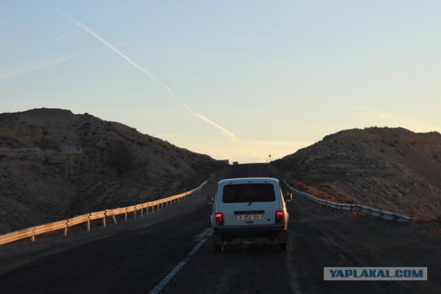
The last spurt and ...

... And we are the top

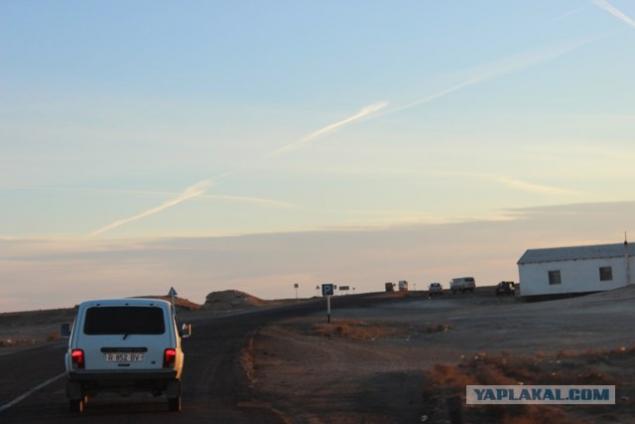
Roadside eatery

We look back at the trough

on the grill with garbage

and continue on the path

We pass some abandoned catering

under the railway-bridge

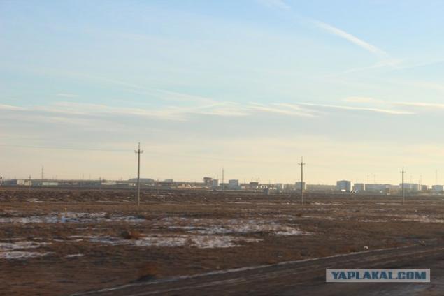
They came to the village Zhetybai

vehicles was Pobol

Zhetybai - urban-type settlement in the Mangistau region. The village is connected with the oil and gas fields Zhetybai.
Constant streams and reservoirs are absent. Desert vegetation, sparse. The climate is continental, very dry. Reminds planet Shelezyaka remember from the book "Alice's Journey."

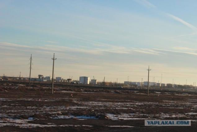
along the road are RVSy, ie Vertical steel tanks designed for stationary storage of petroleum, petroleum products.
Zhetybai except settlement also a major oil and gas field. It belongs to the South Mangystau oil and gas area.
Zhetybai opened in July 5, 1961 at the well №6, it has received the first Mangistau oil.
Zhetybai
Development began in 1969. The deposits at a depth of 1, 7 - 2, 4 km. The initial production rate of wells 2 - 130 tons / day. The density of 0, 85 - 0, 86 g / cm³. Oil Zhetybaya light and medium density 830-870 kg / m³, resinous 4, 53-15, 5%, vysokoparafinistyh 17, 2-25%, sweet crude 0, 2-0, 28%. Asphaltenes content ranging from 0 to 3 9, 4%.
The field is in a late stage of development. To increase the production of oil are different technologies such as hydraulic fracturing, different RMS and ECI, etc. The geological oil reserves are 345 million tons of residual oil reserves amount to 68 million tons.
Currently, development of the field leads the Kazakh oil company, OAO "Mangistaumunaigas" and PU Zhetybaymunaygaz. Oil production in 2010 was 1, 12 million tons.
PU Zhetybaymunaygaz divided into workshops that develop the field, there are mining plant (CDNG) management who download water (TSPPD), research workshop (TSNIPR) plant, which processes crude oil into marketable (CPF), and others.

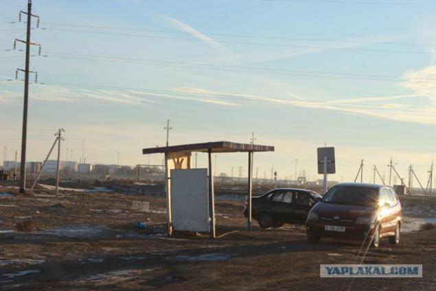
Bus stop

We are on the% of Bali is, to the village Zhetybai eight km., And we are at some kind of crossroads

Fuel prices. Shown in tenge.
Kazakhstan tenge - the national currency of Kazakhstan.
The name "KZT" comes from the Turkic medieval silver coins "dengue" or "tanga", from which, in turn, took the name of Russian coins of the money and the word money.
The course for today:
1 US dollar - 150.65 tenge
1 Euro - 201.19 tenge
1 Russian ruble - 4.98 tenge
1 UAE dirham - 41.02 tenge
1 South African rand - 17.06 tenge
1 Kuwaiti Dinar - 536.31 tenge

The sun is already high

Go further

We drive to the town of Zhanaozen
Zhanaozen - a city of regional subordination in the Mangistau region of Kazakhstan.
It was established in 1968, it is situated on a plateau Mangyshlak (Mangystau). There is an airport. Since 1968, the city was called - New Uzen, it renamed Zhanaozen 7 October 1993.

Invitation to the gas stations. Gas today is 33 tenge.

The station itself.
By the way in Zhanaozen is a large gas processing plant, which occupies an important place in the production-territorial complex of Mangistau. The plant provides a significant portion of domestic LPG, supplying the population of the region dry stripped gas and heating oil, provides the needs of the enterprises of the city of Zhanaozen technical oxygen.

Tetris in the trunk

Suburb Zhanaozen. In Zhanaozen itself we will not go, we were in a different direction.
Incidentally 1. In June 1989 in Zhanaozen there were major disturbances on a national basis. Events in Novy Uzen or Novouzenskaya massacre - ethnic clashes 17 - June 28, 1989 in New Uzen Kazakh SSR between groups of Kazakhs and people from the Caucasus.
Riot combined elements of a strong social unrest, rampant hooliganism, youth rebellion, anti-Soviet propaganda and communal violence directed primarily against people from the Caucasus. The exact number of victims is unknown (called the numbers from 4 to 200 people). Archives uprising were partly destroyed, partly classified. The revolt was suppressed by special forces units, but almost all the non-Kazakh population urgently left town or were evacuated.
June 16, 1989 in Novy Uzen there was a fight at the dance floor between groups of young Kazakhs and people from the Caucasus. The uprising began on June 17.
June 19 The Supreme Council of the Kazakh SSR introduced in the city curfew. To suppress the clashes were involved armored personnel carriers, tanks, attack helicopters and other military equipment. Only on the fourth day failed to quell unrest. As a result of these events, several people were killed. It is noteworthy that it was in 1989, the share of Kazakhs in Novy Uzen first time exceeded the half and amounted to 50, 6%.

We stand at a fork. Left Zhanaozen, papravo settlement Tenge. We were right.
Incidentally 2. On 16 December 2011, seven months after the oil strike, the main square of Zhanaozen riots took place with the participation of internal troops with weapons that according to official data has led to the deaths of 17 people, according to unofficial data, killing about 90 people. It was argued that under the guise of oil was hired a group of people, which organized the riots. The troops were introduced, after which he was declared a curfew, which lasted more than a month.

Korefan came out to stretch our legs.

Going down the street pos.Tenge
Tenge - settlement in the Mangistau region of Kazakhstan, subordinate to the city administration of Zhanaozen. Located in close proximity to the city immediately after the settlement "Bayauyl." In the "Tenge" generally temporarily reside those who only iimigriroval to Kazakhstan from Turkmenistan, Uzbekistan and Karakalpakstan. Having saved enough money they leave the village, and in their place come new immigrants. Most of the villagers keep the cattle in the yards. Urban youth are often called "Tenge" - "Uzenskim Texas»

Pos.Tenge

Source: