2327
Lonely peak of Mont Aiguille (43 photos)
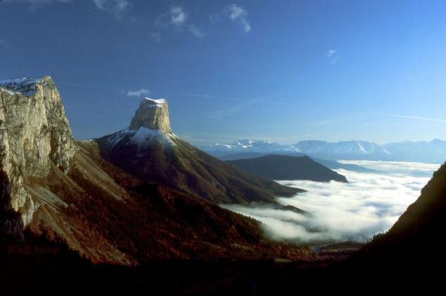
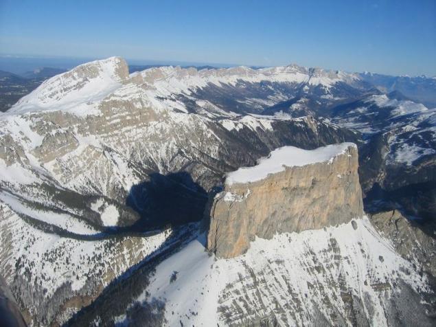
I saw this picture here on the Internet with the caption "Somewhere in France ...". But we're with you this is not enough! The Truth? We need all the details, from all sides, and even to "get into it" desirable. So let's learn something interesting and we will look into my eyes.
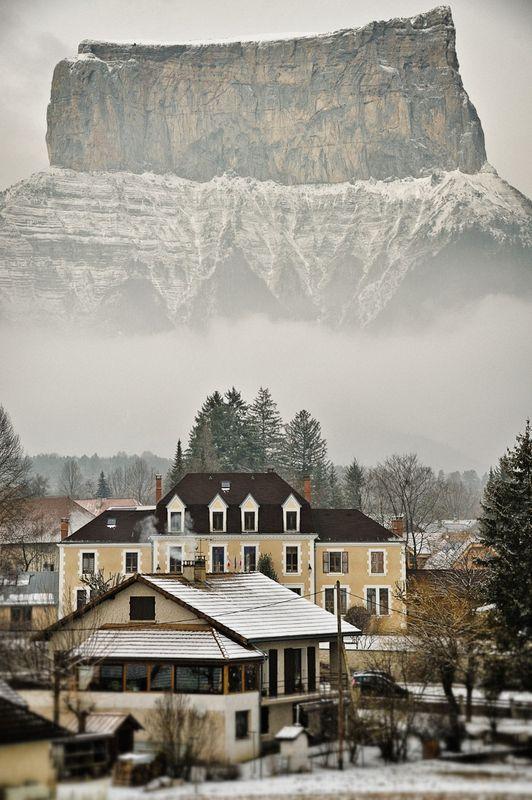
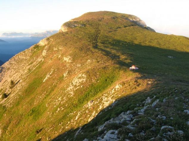
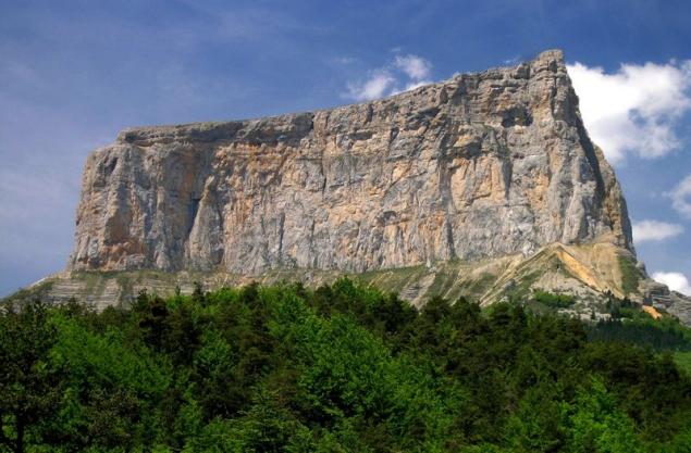
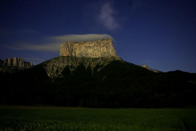
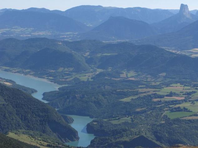
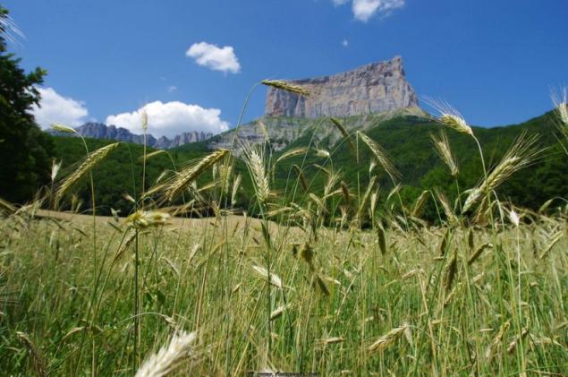
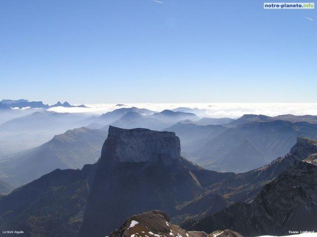
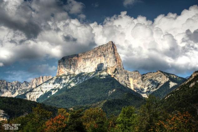
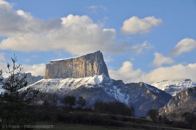
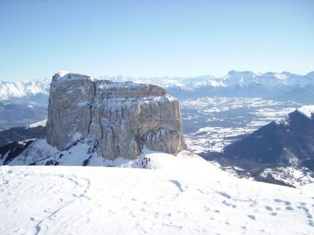
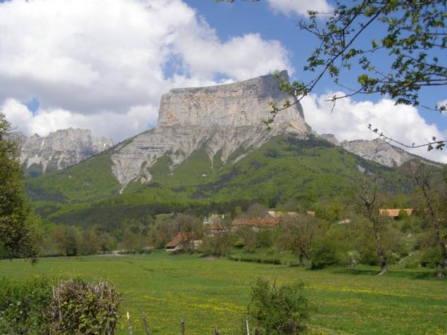
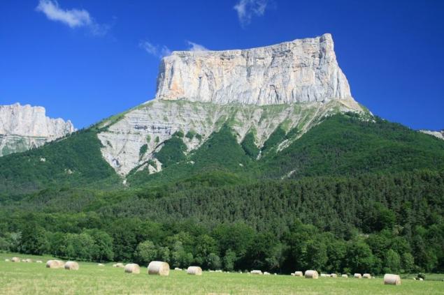
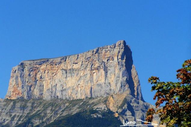
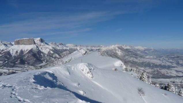
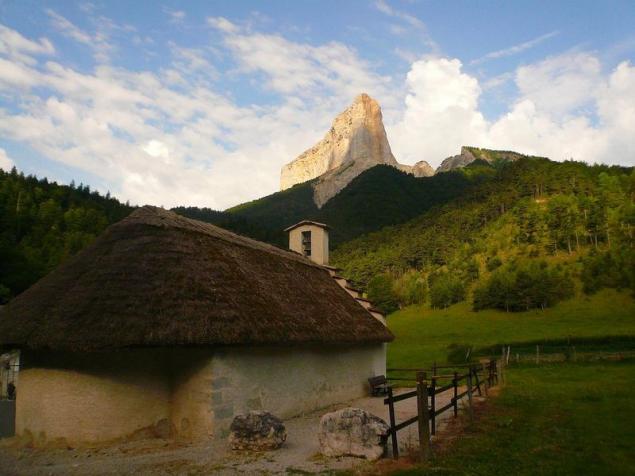
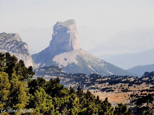
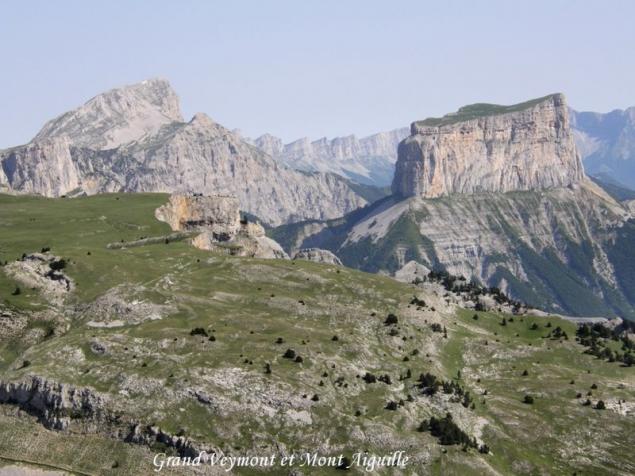
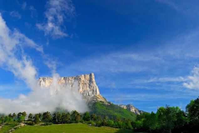
Mont Egil, in English Mont Aiguille - a small top, located in the northern mid-latitudes of the eastern hemisphere, at coordinates 44.8333 ° North latitude, 5.55 ° East longitude. In terms of the geographical location of the vertex is characterized as follows: Eurasia (Europe), Western Alps, Dauphine Alps.
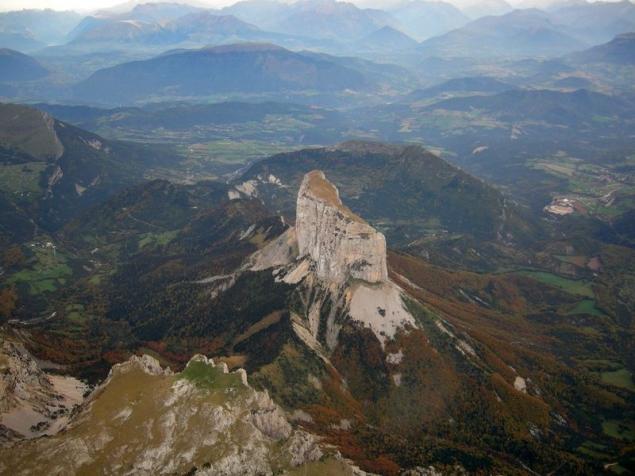
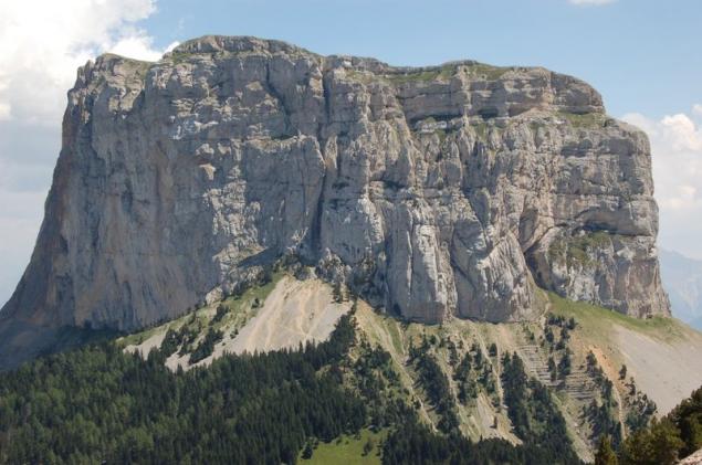
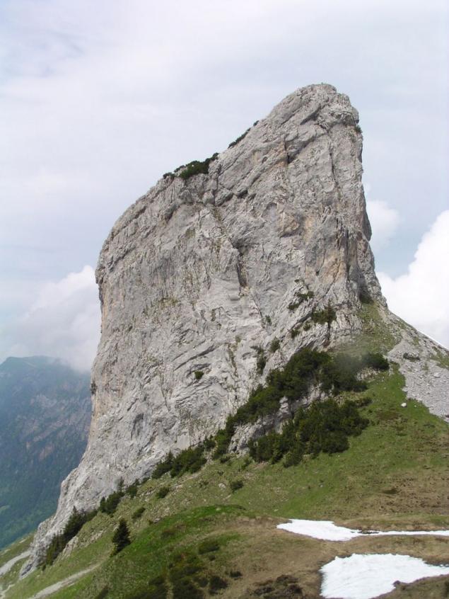
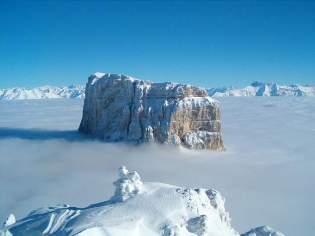
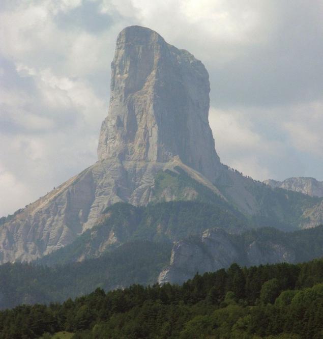
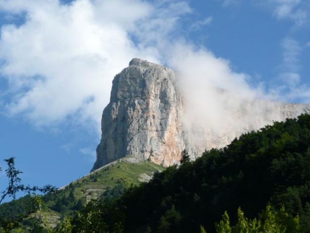
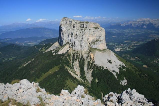
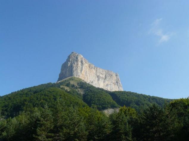
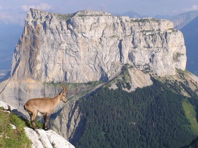
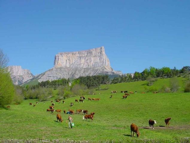
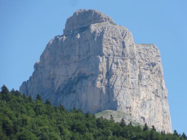
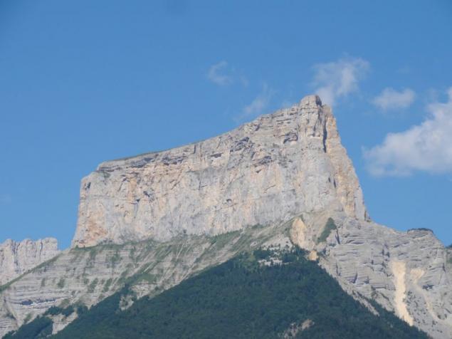
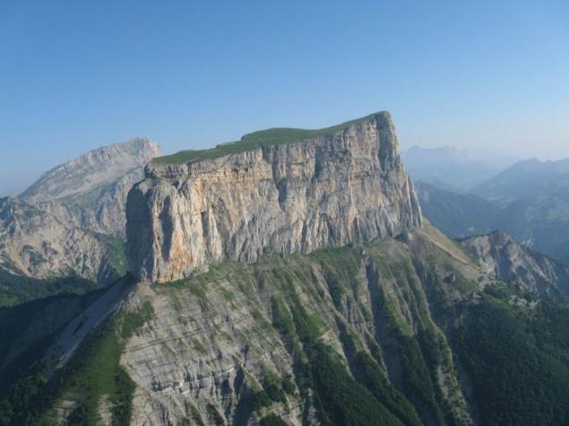
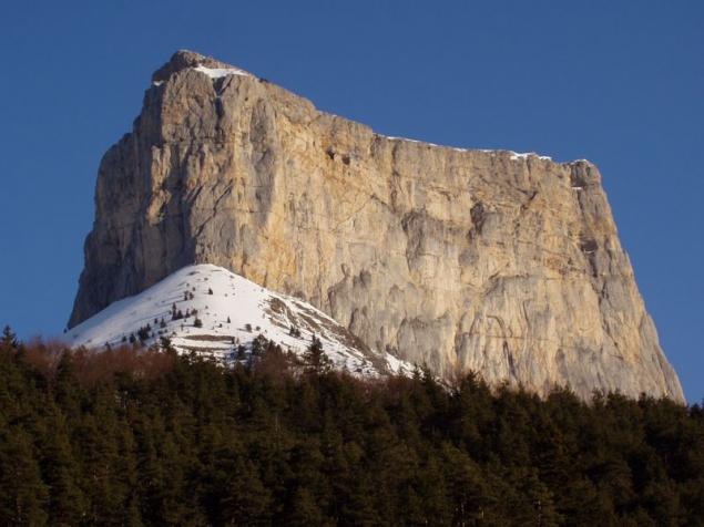
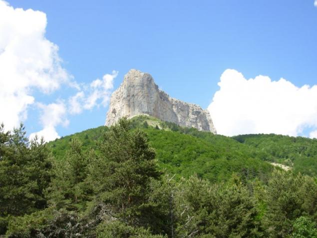
Mont Aiguille - «Unattainable Mountain", a height of 2 thousand meters, which sticks out like a finger with the same steep walls on all sides. this mountain long fired the imagination of the French, and at the request of Charles VIII, she was the first climbing height - the first mountain on which people choose to climb just like that, out of pure curiosity. Vertex has not been subdued to one thousand four hundred and ninety-two. The first ascent was involved, except the royal rati More kamnetёs, carpenter, and two priests - just in case - and suddenly the truth on this mountain God sits, legs dangling?
It was June 26, 1492, the year Columbus discovered America, Rabelais and then described it in his book Four.
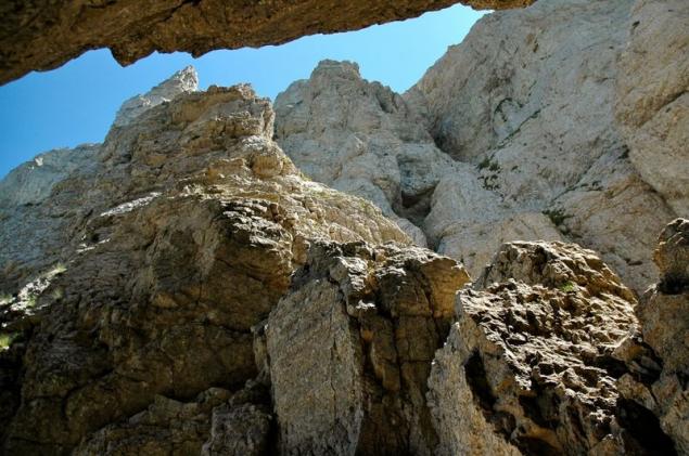
In terms of weather conditions ascent to the summit is best to plan for July, August, September. The top of such a level as Mont Egil in any case requires serious organized climbing. To address the whole spectrum of logistics and organizational issues may require honest local knowledge. Is likely to require the organization of intermediate camps, but significant part of the route already mozhut be completed within one or two days of the assault.
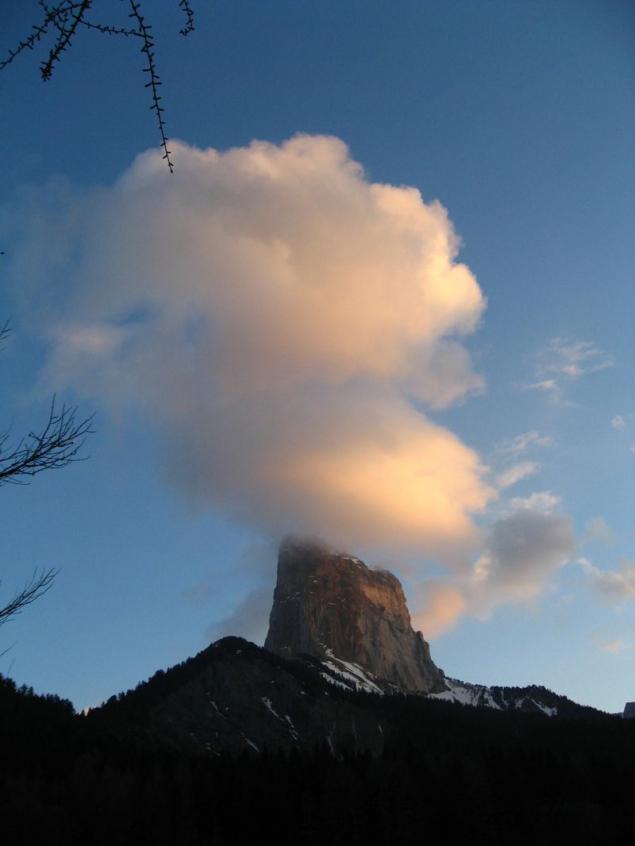
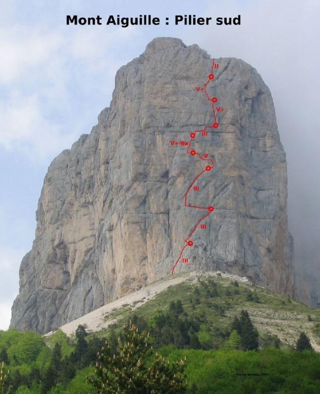
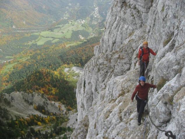
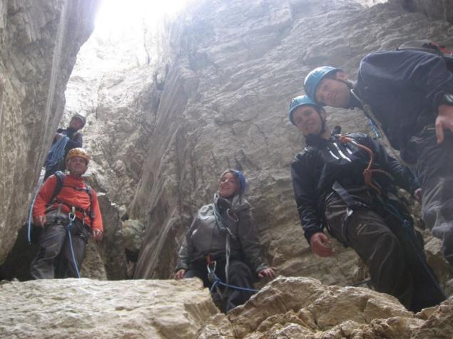
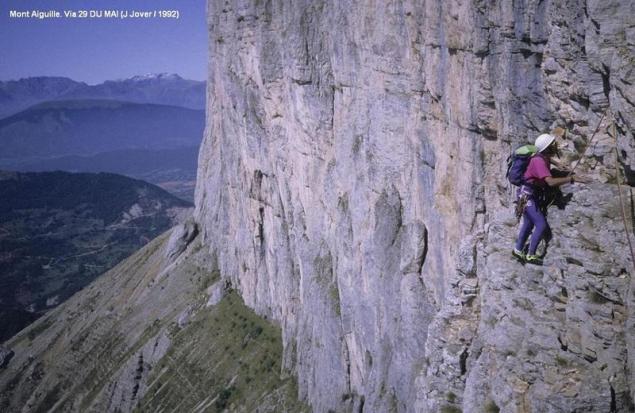
Here he writes la_marmotte now climb a mountain unattainable not so difficult. routes have already hammered rings for equipment, they can be sorted by level of difficulty climbing from the III-IV, the most popular V + and to VII. ie you can climb pretty easy even for a beginner, but experiences! but I'm not morally ready - vertigo is still with me. in fact, the right side of the mountain was a steep, even overhanging and fallen off recently - after the war. so that the impression was once more impressive, and the mountain lost 10 meters in height - it was the highest point.
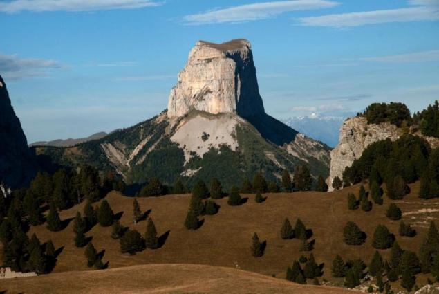
Die, Dea Augusta Vicontiorum - town in the French department of Drôme (in the Dauphiné), in the valley of Drôme; partly surrounded by old walls and towers. Residents (in 1891, 3257) are engaged in sericulture, breeding grapes and melons, paper, leather, silk fabrics and are a considerable trade with wine, wood and cattle, especially mules. Old Castle, the former bishop's palace; some remains from Roman times. Before lifting the Edict of Nantes was here Calvinist University. D. In the vicinity are rhinestone and found mineral springs. 10 km from the so-called Inaccessible mountain (Mont inaccessible) and Mont-Egil (Mont-Aiguille), in the form of an inverted pyramid.
Source: la-marmotte.livejournal.com

Mont Egil, in English Mont Aiguille - a small top, located in the northern mid-latitudes of the eastern hemisphere, at coordinates 44.8333 ° North latitude, 5.55 ° East longitude. In terms of the geographical location of the vertex is characterized as follows: Eurasia (Europe), Western Alps, Dauphine Alps.

Mont Aiguille - «Unattainable Mountain", a height of 2 thousand meters, which sticks out like a finger with the same steep walls on all sides. this mountain long fired the imagination of the French, and at the request of Charles VIII, she was the first climbing height - the first mountain on which people choose to climb just like that, out of pure curiosity. Vertex has not been subdued to one thousand four hundred and ninety-two. The first ascent was involved, except the royal rati More kamnetёs, carpenter, and two priests - just in case - and suddenly the truth on this mountain God sits, legs dangling?
It was June 26, 1492, the year Columbus discovered America, Rabelais and then described it in his book Four.

In terms of weather conditions ascent to the summit is best to plan for July, August, September. The top of such a level as Mont Egil in any case requires serious organized climbing. To address the whole spectrum of logistics and organizational issues may require honest local knowledge. Is likely to require the organization of intermediate camps, but significant part of the route already mozhut be completed within one or two days of the assault.

Here he writes la_marmotte now climb a mountain unattainable not so difficult. routes have already hammered rings for equipment, they can be sorted by level of difficulty climbing from the III-IV, the most popular V + and to VII. ie you can climb pretty easy even for a beginner, but experiences! but I'm not morally ready - vertigo is still with me. in fact, the right side of the mountain was a steep, even overhanging and fallen off recently - after the war. so that the impression was once more impressive, and the mountain lost 10 meters in height - it was the highest point.

Die, Dea Augusta Vicontiorum - town in the French department of Drôme (in the Dauphiné), in the valley of Drôme; partly surrounded by old walls and towers. Residents (in 1891, 3257) are engaged in sericulture, breeding grapes and melons, paper, leather, silk fabrics and are a considerable trade with wine, wood and cattle, especially mules. Old Castle, the former bishop's palace; some remains from Roman times. Before lifting the Edict of Nantes was here Calvinist University. D. In the vicinity are rhinestone and found mineral springs. 10 km from the so-called Inaccessible mountain (Mont inaccessible) and Mont-Egil (Mont-Aiguille), in the form of an inverted pyramid.


Source: la-marmotte.livejournal.com


