384
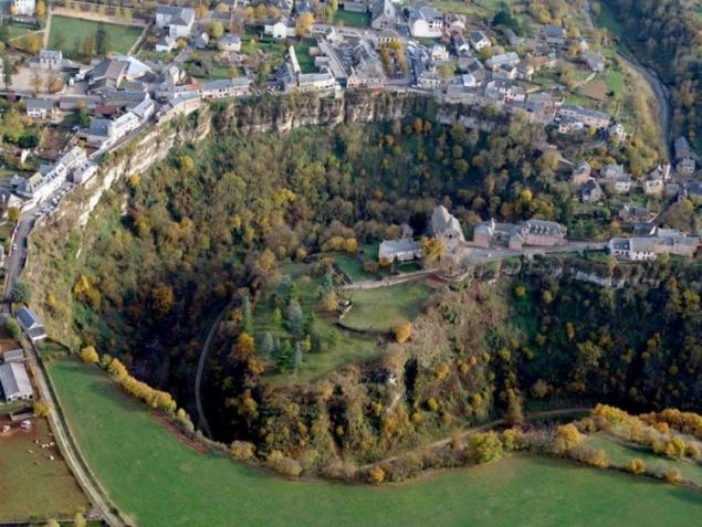
French town over the "hole"
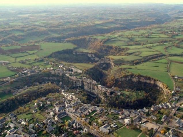
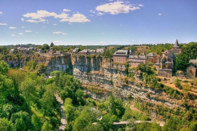
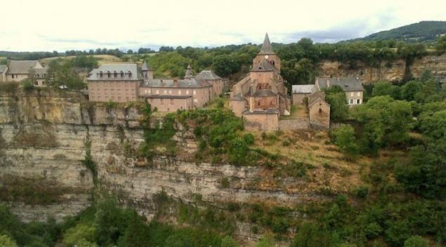
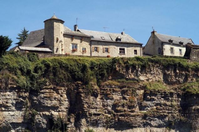
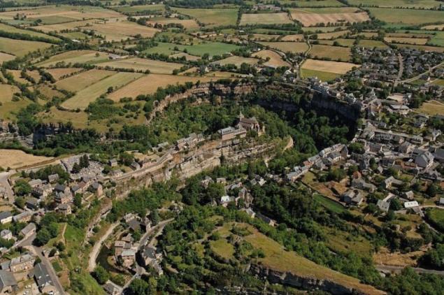
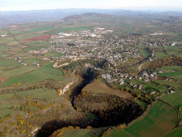
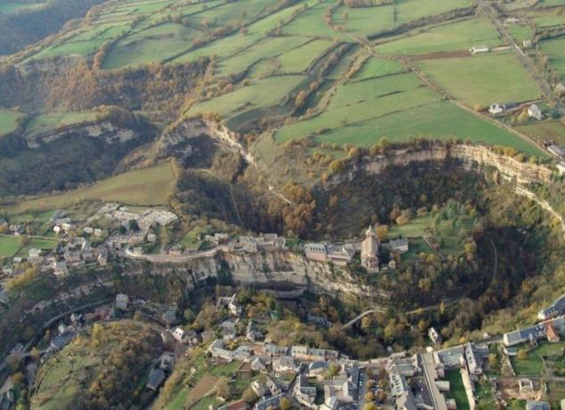
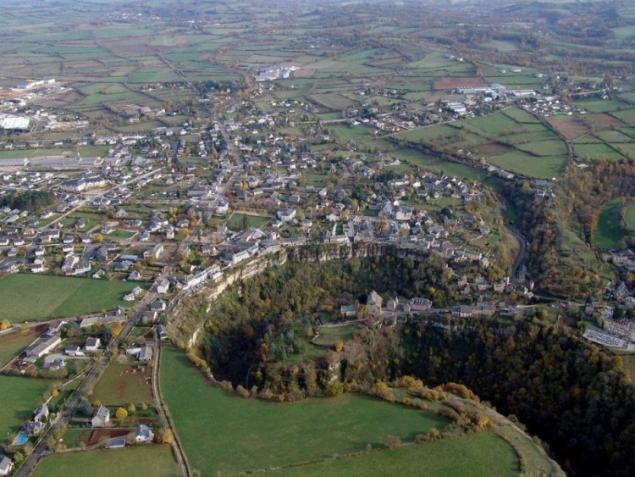
Trou de Botul or “hole Bosal” is a large horseshoe-shaped canyon, located near the village of Mosul in the Aveyron Department in southern France. The canyon was carved in limestone erosive action of water the dourdou river flowing through the great limestone plateau of KOs at the Entrance to the massif Central. The canyon is 400 meters wide and 100 meters deep. The most striking feature of this natural monument lies in the fact that the town of Mosul is located right on the edge of a steep rock curve. Geographical location of Mosul on one of the bends of the river Dourdou, makes the city a natural defensive fortress.
The massif Central, consisting of mountains and plateaus, and having an area of approximately 15 percent of the entire country of France, began to form around 600 million years ago, when it was formed hertsynsku folding. New mountains continued to form as recently as 60 million years ago. For about two million years the topography has also formed a series of glacial periods when glaciers were advancing, then retreating, causing the rise and fall of river levels. The landscape that we see today is the result of a long process.

The massif Central, consisting of mountains and plateaus, and having an area of approximately 15 percent of the entire country of France, began to form around 600 million years ago, when it was formed hertsynsku folding. New mountains continued to form as recently as 60 million years ago. For about two million years the topography has also formed a series of glacial periods when glaciers were advancing, then retreating, causing the rise and fall of river levels. The landscape that we see today is the result of a long process.


