378
For polar bears will be monitored from space
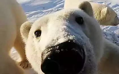
In the latest issue of the journal PLoS ONE appeared an article in which the American experts of the Geological survey has shared new methods of analysis in the population of polar bears. Seth Stapleton claims that satellite images are also effective in addressing this issue, as tracking information about these animals from the air.
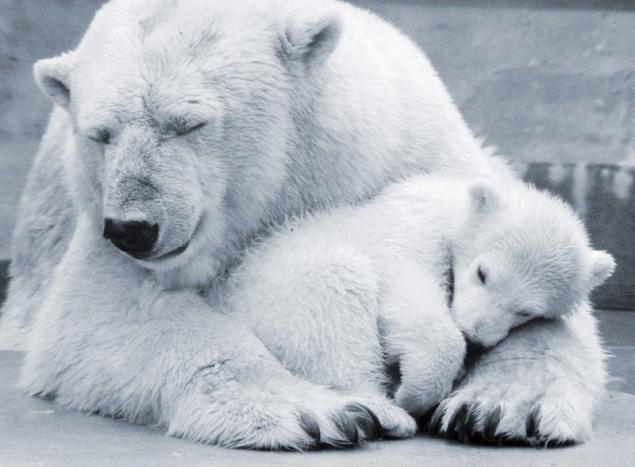
Global warming changes the Arctic climate that negatively affects the population inhabiting in the natural environment of animals. Therefore, scientists need more effective methods of control of wildlife. In particular, special difficulties arise when tracking the Arctic populations.
As the terrain with harsh climates in which you want to monitor, separated, and place studies often have very little access to, traditional photography is time-consuming process.
Previously, scientists attached a camera to any trees or shrubs, using a waxed cord, so as not to scare additional struts mounts animals. Recently, scientists moved on to aerial photography, which is a fairly expensive undertaking.
Stapleton together with the team decided to test what data can be obtained if to use satellite images. For the test analysis, it was decided to take one of the small Islands in Northern Canada, which is characterized by difficult accessibility.
It turned out that the satellite data is almost not inferior to the data of aerial photography in tracking the distribution and abundance of polar bears. The satellite allowed the scientists to consist of 90 individual animals, while aerial photography a week ago talked about the hundreds of animals that live on the island.
American experts believe that the obtained data can be used to control populations of polar bears. And their study will be a turning point in the study of the behavior of various wildlife of the Arctic.
Scientists emphasize that this is only the first step towards process automation. They believe that soon it will be possible to automatically detect from satellites the movement of animals in different landscapes.
P. S. And remember, only by changing their consumption — together we change the world! ©
Source: zeleneet.com

