474
The developed algorithm is able to accurately decode the survey data of the Earth's surface

Each type of matter on Earth has a unique spectral "signature", defined not only by the form of molecules, but also the position of the chemical bonds holding the individual atoms of the molecule together. The human eye sees only a part of this signature, which we perceive as color. The range of visible light is only a small segment of the entire range of electromagnetic waves, and visible light, carries very little information about the object, its structure and chemical composition. But in the world there are better tools than the human eye. These tools are called hyperspectral sensors and they are able to give quite a large amount of information about the object, caught in their field of view.
Usually these hyperspectral sensors mounted on aircraft and artificial satellites to conduct a detailed survey of the surface of the Earth. But data collected by hyperspectral sensors, with great difficulty, amenable to mathematical processing even with the most powerful computers for processing is required, the analytical methods for pattern recognition, such as those who work in our brains.

The main problem is that hyperspectral sensors are working very, very well. Even in those places which in ordinary light have the same color, the data from these sensors can differ by hundreds and thousands of units. From a mathematical point of view it makes every pixel of the image unique to the processing computer, this problem is known as the Hughes effect and that, until recently, prevented the widespread use of hyperspectral sensors to expand the available people with the knowledge about our planet.
Existing algorithms for processing hyperspectral data can combine similar in value the pixels into groups based on data about the distance between these pixels. In some cases, for example, when determining the type of vegetation surface, such algorithms give quite good results, but there are such variants where the algorithms are the so-called "clustering" does not bring any result. Based on one of the standard algorithms "clustering", a group of researchers from China and the United States supplemented it with the technique of using samples, which is recognized according to the nature of each cluster of pixels.

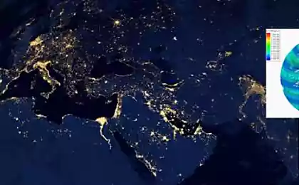
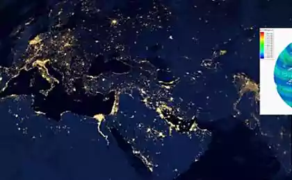
On the second of these images you can see the results of the new algorithm. The result is a space shooting of territory of the University of Pavia in Italy. In the first phase the first part of the algorithm divides every image to the cluster that correspond to portions of the surface of a certain character. Then, with only 15 samples, the software was able to accurately parse the entire surface on which objects on it, making more or less detailed map of the place. The good results of the combined method showed in the picture agricultural land, which are planted various crops. By the way, these images, the conventional clustering algorithms refused to work properly, but the use of samples enabled the program to map the terrain with an accuracy between 50 and 80 percent.
The creation of a reliable processing algorithm of hyperspectral data will allow in the near future to organize a semi-automatic control if not for all, for some areas of the earth surface. And the data of this control will be extremely useful to people of various specialties, ranging from designers, builders and ending with biologists, ecologists and other scientists involved in tracing the changes of the environment.
Source: www.dailytechinfo.org
