148
Triton tour
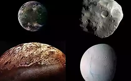
Specialists recreated the map of Triton, based on images taken from the spacecraft.
In the summer of 1989, NASA’s space envoy Voyager 2 became the first single spacecraft to visit the planet Neptune. During a brief flyby of the planet on August 25, the probe transmitted to Earth images of the planet’s natural satellite – Triton.
Dr. Paul Schenk and experts at the Planetary Institute (LPI) in Houston recovered the footage. The map has a resolution of 1,970 feet (600 m) per pixel, while natural colors have been refined to change contrast. The speed of Voyager is about 15 miles (25 km) per second. Experts say that “we had significant difficulties.” Nor do we know exactly what color Triton was in those days. Ground observations gave very different answers. We've done our best to give even a rough impression of what this body, on the edge of the solar system, looks like.
Source: nauka24news.ru/
Mask to accelerate hair growth
Equipment with RES for the production of dried fruits installed in Kyrgyzstan
