1103
Applied dronokartografiya
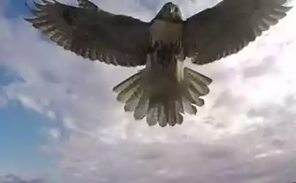
Two rhino in the national reserve Kuzikus (Kuzikus), Namibia. I>
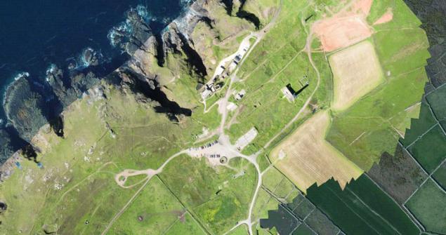
C rapid development of modern cartography drones got a great tool to create very detailed maps of small areas of land, from a few tens or hundreds of square kilometers to individual households. This greatly cheaper than using airplanes or satellites, and can achieve a very high degree of detail. On the use of drones for aerial terrain today already built many businesses around the world. For example, when the US military needed to map minefields in one of the valleys in Afghanistan, helped them in this Tudor Thomas (Tudor Thomas), a specialist in aerial photography. Under his leadership was established aviation system for mapping, which in 2013 cost the US Army and its contractors from one to five million dollars. And here was not included the cost of the aircraft. But still there was something to do, let's say, a few photos from the air.
Because of this history, Thomas was born the idea for the business - mapping using drones. Customers could rent or buy a drone to spend with the help of photography. Though I must admit that at that time the idea could not be called innovation, all over the world, many entrepreneurs have earned this way.
However, Thomas and his colleagues decided to go ahead and set up the software that "glues" the images taken from different points in the overall map. Created on the basis of cloud computing system corrects photos so that they seemed to be made from the same angle, this process is called orthorectification. If you can pinpoint GPS-coordinates of any reference points on the ground, then a separate software allows you to create a map of spatially referenced.
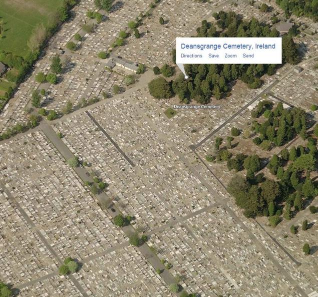
Thomas called his project Maps Made Easy and successfully collected the necessary funds to Kickstarter. Clients appeared immediately, mostly land owners, but quite a few people just passionate cartography. Many are attracted to this project an opportunity to get cheap very detailed photocard your site, because in the same Google Maps data are often updated every few years, and the maximum resolution is very small by today's standards. With the help of drones can create a map with details about 20-fold higher than that of Google Earth. Moreover, the company now offers not just Thomas photomaps, but also creates a three-dimensional models of them.