910
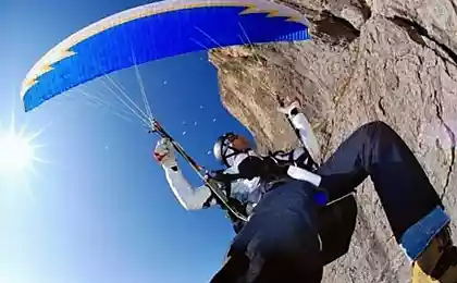
Paragliding.
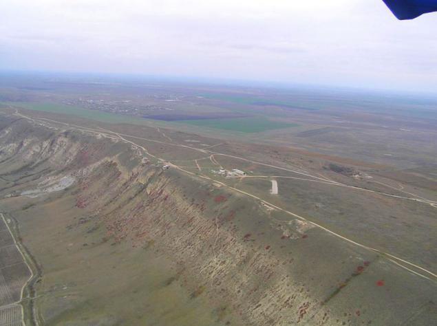
Paragliding from the mountain Klementeva Uzun-Sirt if translated from Turkic - "a long ridge, back." Appearance Ridge - smooth shaft length reminiscent of the huge waves of the sea frozen forever: long strip, stretched to seven and a half kilometers in different directions with completely right flat top. The ridge Uzun-Sirt is located 13 kilometers from Feodosia, not far from Koktebelelya. The altitude is 268 meters, and with respect to the valleys around - about 250 meters.
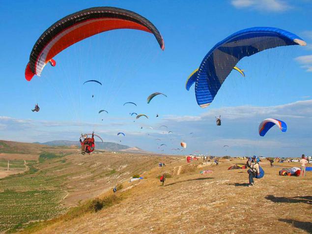
Mount Uzun-Sirt, or paraletnomu - Mount Klementeva divides into two parts of Crimea - Crimea steppe and mountain Crimea. If you look to the north of the ridge - we see flat steppe valley, and if you look to the south - the top of the majestic mountain ranges.
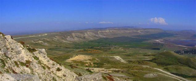
From the top of the hill Koklyuk ("blue top") steppe grasses covered with a great view. Below the top of the basin is located Barakolskaya village with facilities Nanikovo. At the bottom of the basin, after heavy rains, formed a shallow, brackish lake, and in the dry season - loose, overgrown marsh.
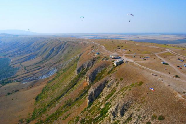
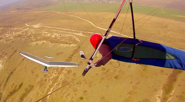
Foot Uzun-Sirt smoothly into three high hill - Koklyuk (345 meters), two-Horta and Sary-Kaya (336 meters). Koklyuk Hill rises above the village Nanikovo mighty rock pillars and stone scrap from podnozhya. At the bottom, where is the source of gullies converge - Sarykainsky.
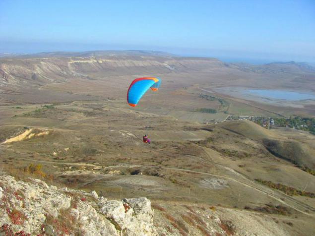
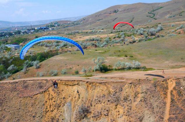
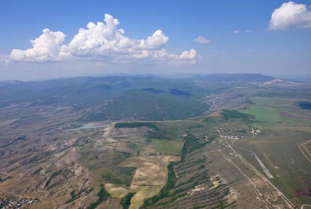
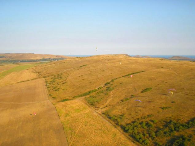
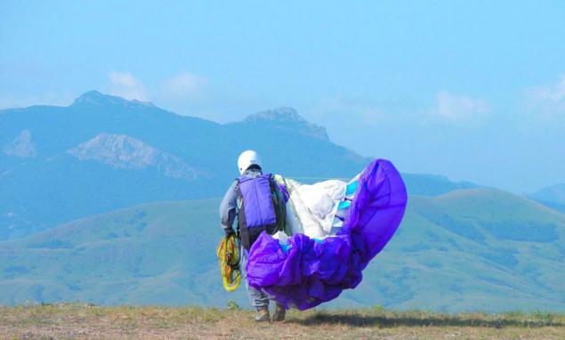
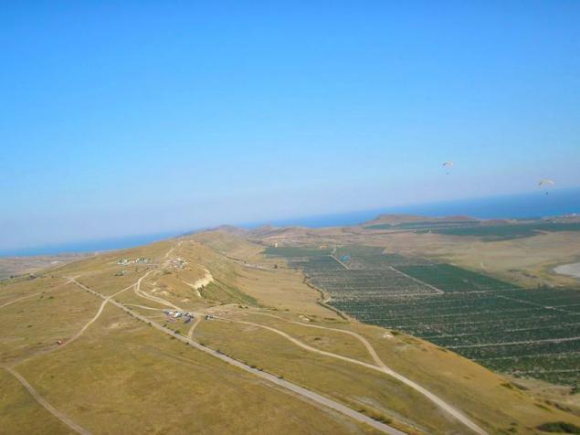
If you look for Uzun-Sirt basin and Barakolskuyu with the vantage point you can see the ridge Bink-Yanyshar and Kuchuk Yanyshar. But not much further south, across the wide valley Armutlukskuyu for Tatar-Haburga ridge, towering rock massif Karadag - Holy Mountain, Syuyuryu-Kai Resort Koktebel be seen. From the southwest, you can watch the three-humped mountain Echki Dag if it straight to him about 13, 5 km.
Uzun-Sirt on maps plan look like a horseshoe, a bit stretched at the edges.
Hollowness Barakolskoy basin with semi-circular ridge (kakbudto cup) form a rare air flow. The edges of this huge bowl, blocking the passage of the wind, not high and flat. Gently bypassing the hill, the air flow kakbudto rolled over her and into the other, northern valley, and in these streams paraglider soars.
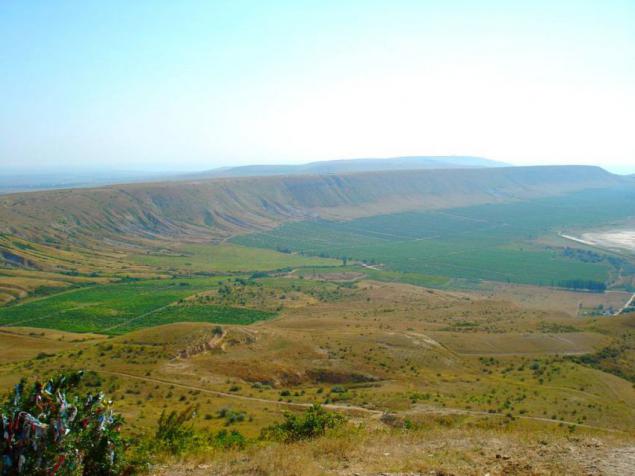
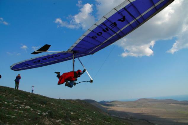
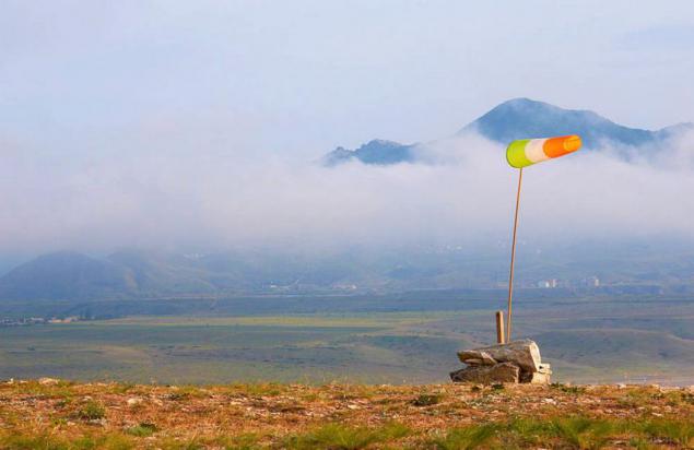
The unique location of Uzun Syrt makes it possible to use air flows in almost any wind. It is best to start flying south, and the north wind. Normal "Yuzhakov" - the subject of the expectations of all pilots flying and soaring here. When the south wind blows - you can float in the sky, in the streams flow, and it is possible to climb higher in the updrafts - "thermals", with clouds and "wave". One poletmozhno do many transitions from one species to another, and hover like a swing on high, to move from one stream in an upward hiding in the clouds and coming back.
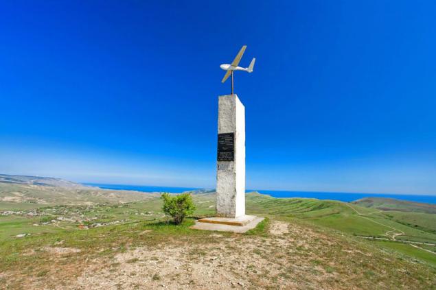
Gory Klementeva - Uzyn Syrt named after the pioneering pilot Pyotr Nikolayevich Klementeva crashed zdes back in 1924 on 11 September. On 23 flight, at an altitude of 500 meters Peter Klementeva cracked Glider folded both wings. Even just this year, the mountain and began to call Gore-Klementeva abbreviated "klemuha».
Source: www.xatv.ru

Mount Uzun-Sirt, or paraletnomu - Mount Klementeva divides into two parts of Crimea - Crimea steppe and mountain Crimea. If you look to the north of the ridge - we see flat steppe valley, and if you look to the south - the top of the majestic mountain ranges.

From the top of the hill Koklyuk ("blue top") steppe grasses covered with a great view. Below the top of the basin is located Barakolskaya village with facilities Nanikovo. At the bottom of the basin, after heavy rains, formed a shallow, brackish lake, and in the dry season - loose, overgrown marsh.


Foot Uzun-Sirt smoothly into three high hill - Koklyuk (345 meters), two-Horta and Sary-Kaya (336 meters). Koklyuk Hill rises above the village Nanikovo mighty rock pillars and stone scrap from podnozhya. At the bottom, where is the source of gullies converge - Sarykainsky.


If you look for Uzun-Sirt basin and Barakolskuyu with the vantage point you can see the ridge Bink-Yanyshar and Kuchuk Yanyshar. But not much further south, across the wide valley Armutlukskuyu for Tatar-Haburga ridge, towering rock massif Karadag - Holy Mountain, Syuyuryu-Kai Resort Koktebel be seen. From the southwest, you can watch the three-humped mountain Echki Dag if it straight to him about 13, 5 km.
Uzun-Sirt on maps plan look like a horseshoe, a bit stretched at the edges.
Hollowness Barakolskoy basin with semi-circular ridge (kakbudto cup) form a rare air flow. The edges of this huge bowl, blocking the passage of the wind, not high and flat. Gently bypassing the hill, the air flow kakbudto rolled over her and into the other, northern valley, and in these streams paraglider soars.

The unique location of Uzun Syrt makes it possible to use air flows in almost any wind. It is best to start flying south, and the north wind. Normal "Yuzhakov" - the subject of the expectations of all pilots flying and soaring here. When the south wind blows - you can float in the sky, in the streams flow, and it is possible to climb higher in the updrafts - "thermals", with clouds and "wave". One poletmozhno do many transitions from one species to another, and hover like a swing on high, to move from one stream in an upward hiding in the clouds and coming back.

Gory Klementeva - Uzyn Syrt named after the pioneering pilot Pyotr Nikolayevich Klementeva crashed zdes back in 1924 on 11 September. On 23 flight, at an altitude of 500 meters Peter Klementeva cracked Glider folded both wings. Even just this year, the mountain and began to call Gore-Klementeva abbreviated "klemuha».

Source: www.xatv.ru
