1676
Snapshots from the Landsat 7
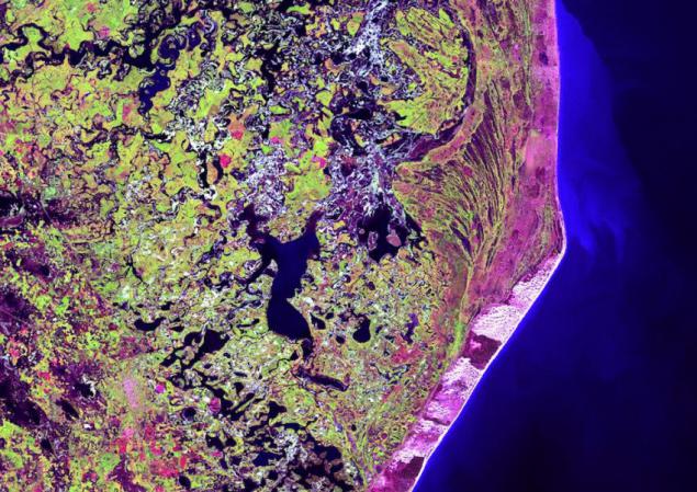
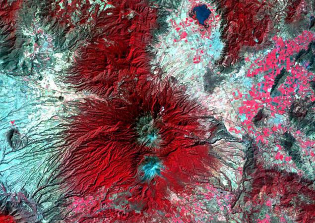
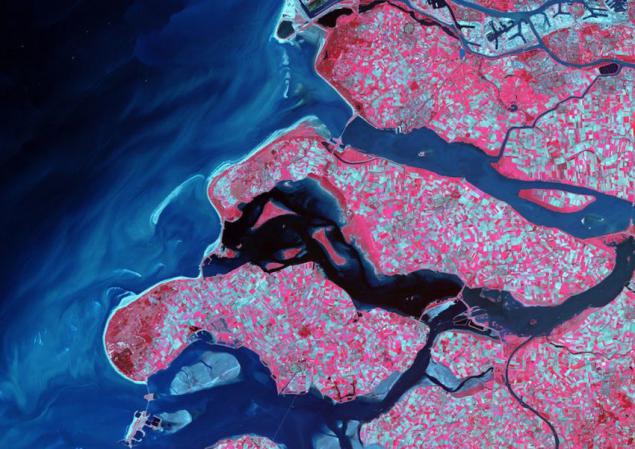
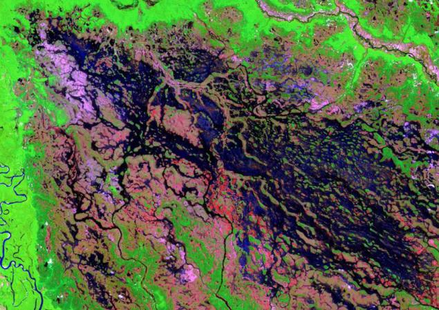
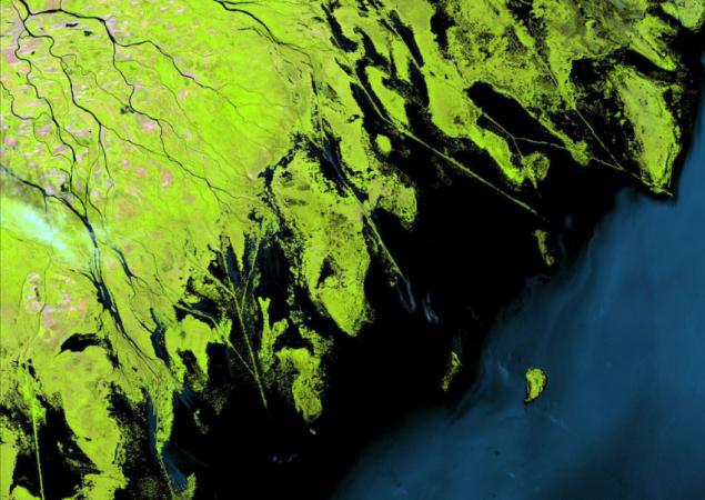
All the pictures are the real photos of the Earth, which were created by visible infrared data in a range of colors perceived by the human eye. This range has been specially chosen so as to obtain the most striking appearance. Surveillance system USGS Earth Resources (EROS) data center in South Dakota is the main station for the collection and processing of data from the Landsat 7 satellite, and after already disseminates information among researchers across the globe.
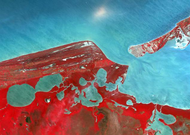
Campeche, Yucatan Peninsula, Mexico.
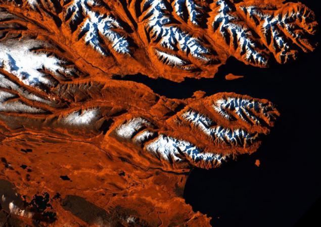
"Icelandic Tiger" - the region Eyyafyor, Iceland.
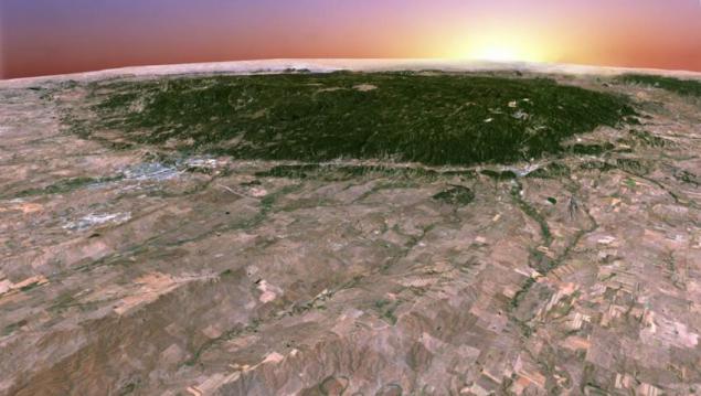
Black Hills, South Dakota, USA, in the format 3D.
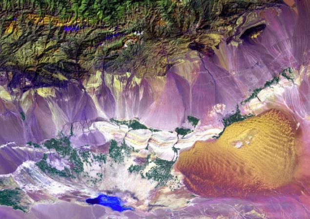
Turpan Depression, located at the foot of the mountain Bogda in China - a mixture of salt lakes and sand dunes.
Cape San Antonio, the south-east part of Buenos Aires, Argentina.
The most active volcano in Mexico - Colima, Jalisco.
Delta region, the Netherlands.
Marshy border river Demin, northwest Brazil.
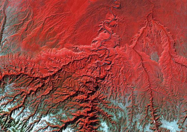
River Green River, which flows along the canyon Desolation, Utah, USA.
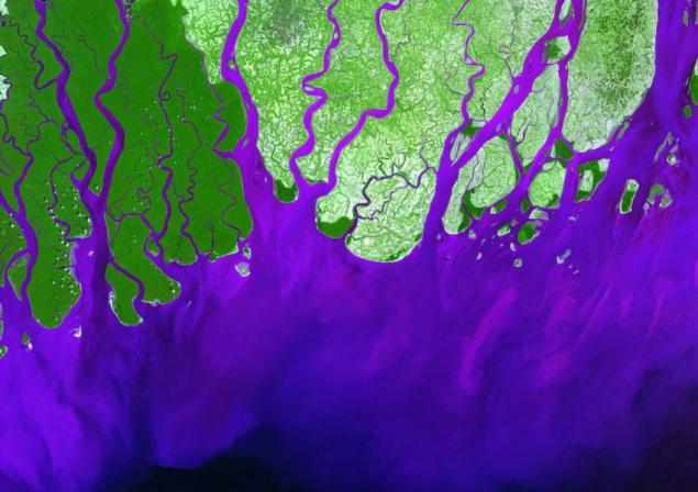
The confluence of the Ganges River in the Bay of Bengal, Bangladesh.
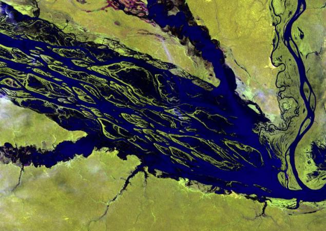
The largest tributary of the Amazon - the river Negro, Brazil.
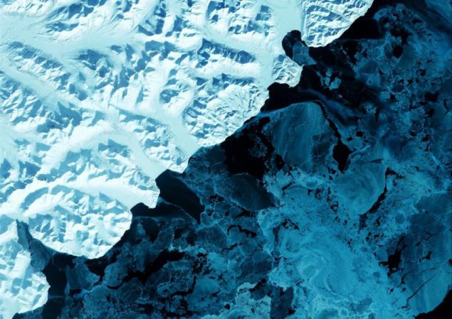
Kamchatka Peninsula, Russia.
Ephemeral salt lake frustration, Western Australia.
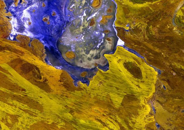
The largest glacier in Alaska - Glacier Malaspina, Yakutat Bay.
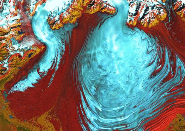
Sand dunes up to 300 meters - Namib desert, Namibia.
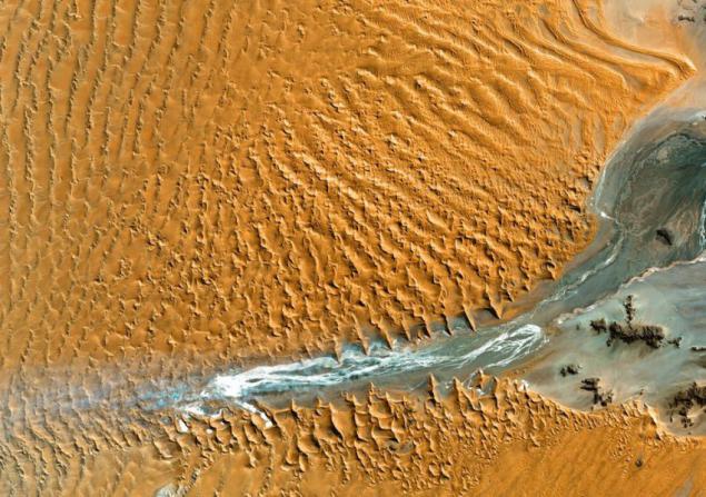
Niger Delta, south-west of the Sahara Desert, Mali.
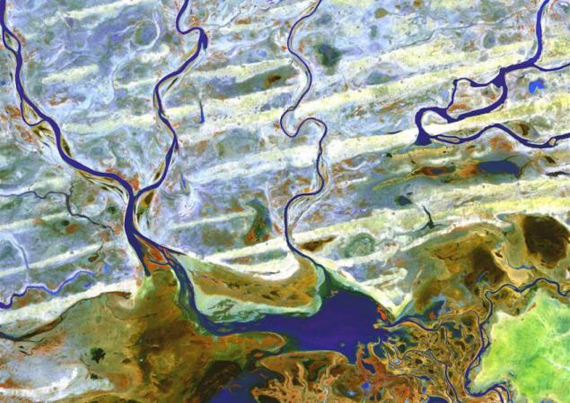
Syrian desert.
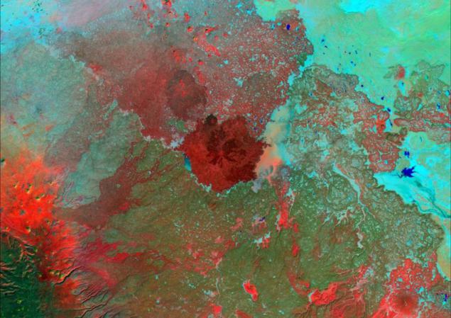
Terkezi Oasis, Sahara Desert, Chad.
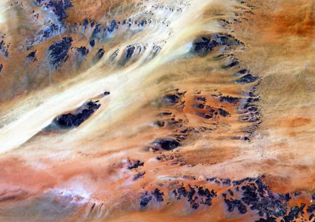
The largest glacier in Europe - Vatnajökull Glacier, Glacier National Park Skaftafelsky.
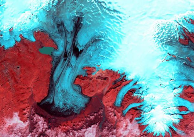
Chilean and Argentinean volcanoes.
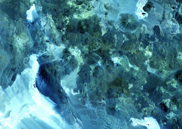
Volga River Basin, Russia.
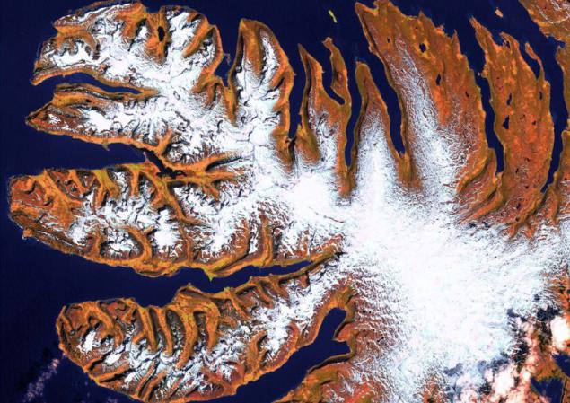
Western Fjords - a series of peninsulas in northwestern Iceland.
Source: ljplus.ru