1773
Photos of Earth from satellites
Some places, frankly, impressive.
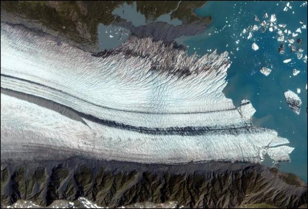
Here, for example, a huge glacier in Alaska resets icebergs in the waters of the bay.
When a glacier moves, it lifts the soil. When two glaciers merge into one, as here, the excavation produced parallel bands.
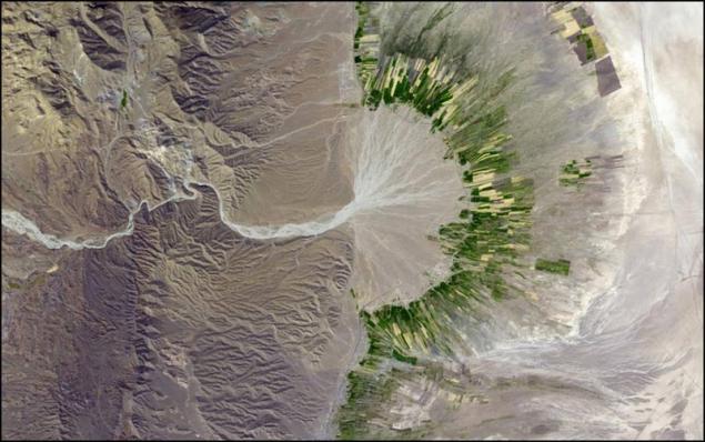
Southwestern part of Iran. Dry river bed sometimes gives this water irrigation canals, but not for long, again on the desert.
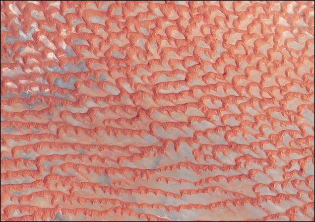
Red sands of the desert Rub 'al Khali (in Arabic - "empty space"). The world's largest array of barren sand, which is located on the plain. Mobile sand dunes form a height of 200 m.
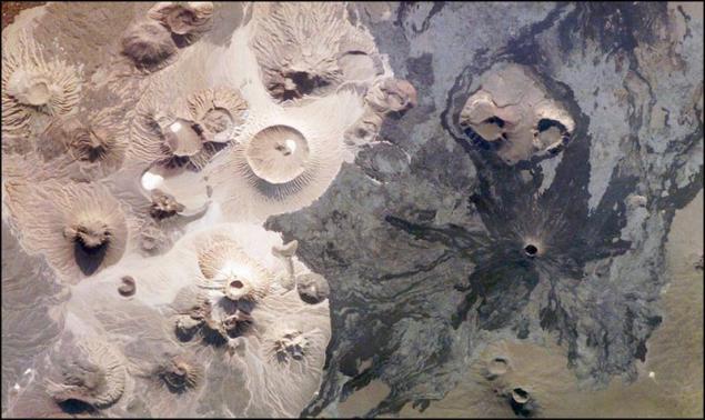
The next picture is similar to the alien landscape, but it is on Earth, in Saudi Arabia. It is noteworthy that the picture is made by human hands with the International Space Station.
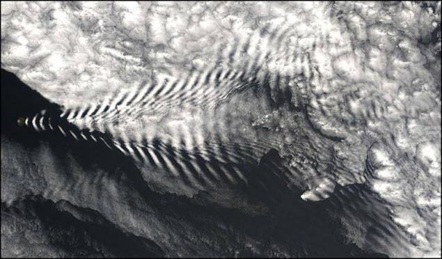
A tiny island in the Indian Ocean Amsterdam making waves. But not in water, and high in the clouds.
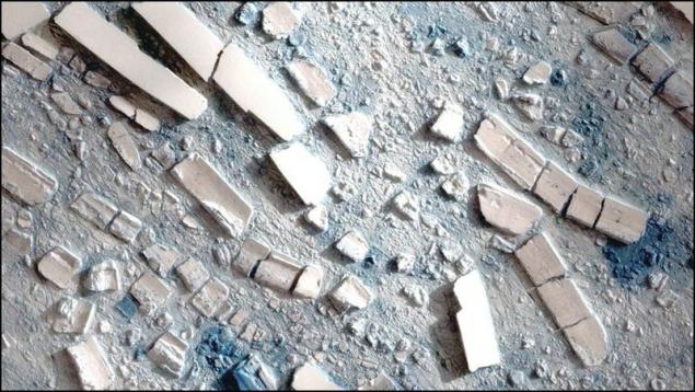
Good detailed picture of Arctic sea ice. It may seem that this model is made of papier-mache. In fact, the size of some icebergs are several hundred feet in length.
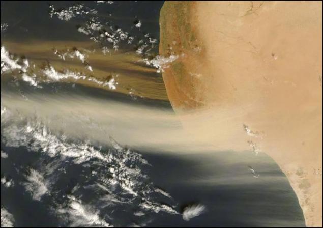
Coast of Libya, Africa. Sand by wind in the Atlantic Ocean. Please note that the tone is different, blowing from different places and at different heights. They say that sometimes the wind brings the sand right up to the coast of South America.
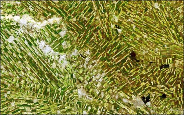
Sudan, near the confluence of the main sources of Nile River. Numerous field along irrigation canals. Dark spots - small villages.
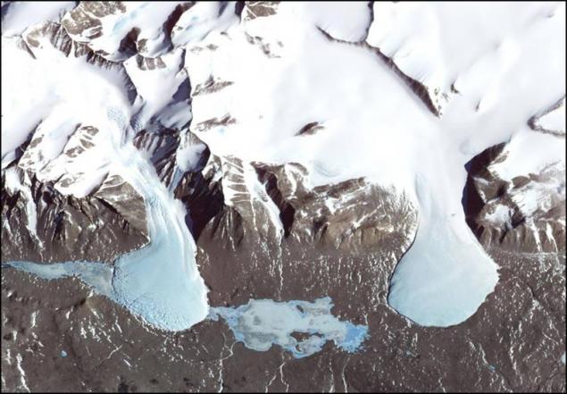
Even on the snowy continent there are places where there is no snow. Antarctica. In this valley are constantly blowing cold and dry wind. With mountain glaciers descend into a frozen lake.
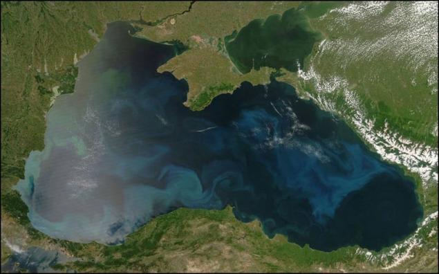
Phytoplankton in the Black Sea. The picture was taken in natural colors.
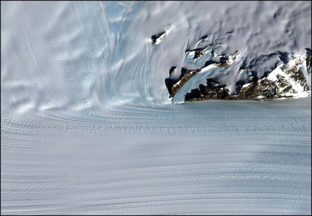
The merger of the two glaciers in Antartike. Learn river ice almost 25 km wide and 100 km long.
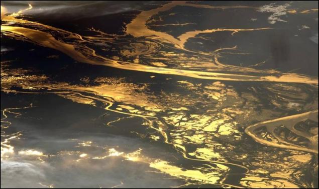
Amazon basin at sunset. It also lifted hands astronaut. It is understandable why people do not spare the money to fly to space.
via nub1an