815
Fotozagadka on satellite images
On the maps of the United States made satellite, you can find a lot of pictures. Most often they are in the desert or near airports.
What are they for?
The answer under the cut.
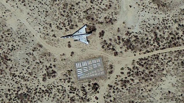
Photo 2.
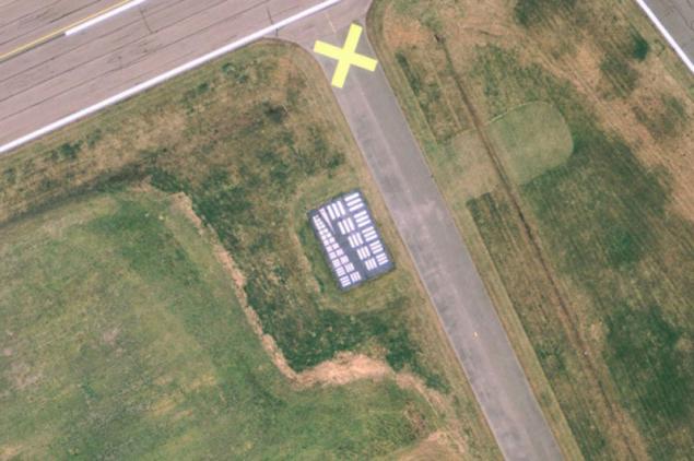
On the whole territory of the United States you will find dozens of these strange markings applied to a rectangular concrete slab or asphalt. They are known as targets for the calibration of aerial photographs, the legacy of the past, which dot the landscape. They were made mostly in the 1950s and 60s, according to the form established by the US Air Force and NASA.
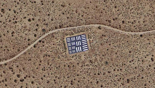
Photo 3.
What do they represent a:
- Have a size of 23 x 7m 16.1m;
- Concrete or asphalt slab, covered with thick black and white paint;
- Sets of parallel and perpendicular rectangles about 15 sizes.
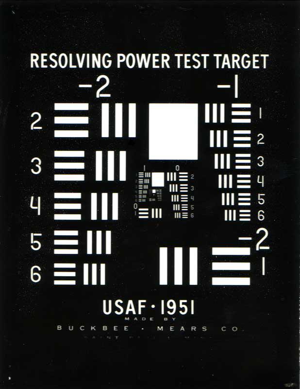
Photo 4.
These objectives can also be used to operate the satellites.
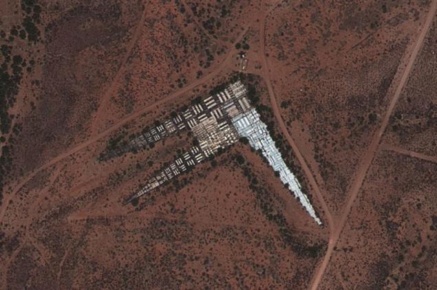
Photo 5.
Many of calibration purposes can be found in the Mojave Desert in California.
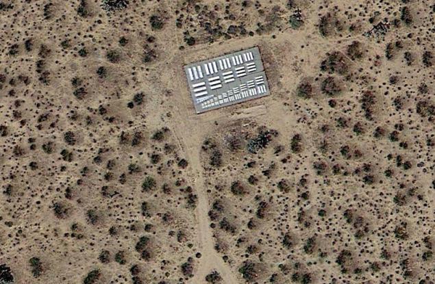
Photo 6.
Some of them are drawn from existing taxiways and runways.
Source: ">