874
New Earth
Because of their duties from time to time I have to visit the New Earth, which I am very pleased.
Have to get there by helicopter from Arkhangelsk, it takes no less than 8-9 hours, the flight with two landings to refuel.
Seen here on Yap is already a topic about the New Earth, but they were mostly photo-vesny.U winter I will also be a photo of October and July (which some of you will realize the amount of green in the photo).
Will be 60 photos
Weather in the Archipelago live their lives and can be predicted even experienced meteorologists)))
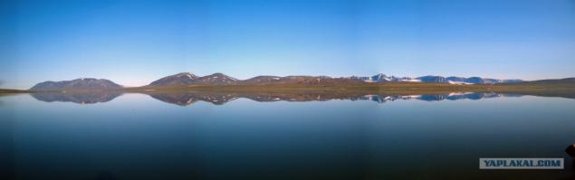
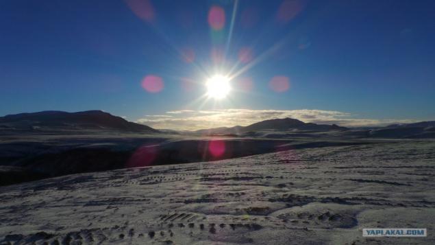
So it would join, but because everyone can see the New Earth when a helicopter approaching her. For this we have to overcome a half-hour flight over the Kara Gate (the strait between the mainland and the New).
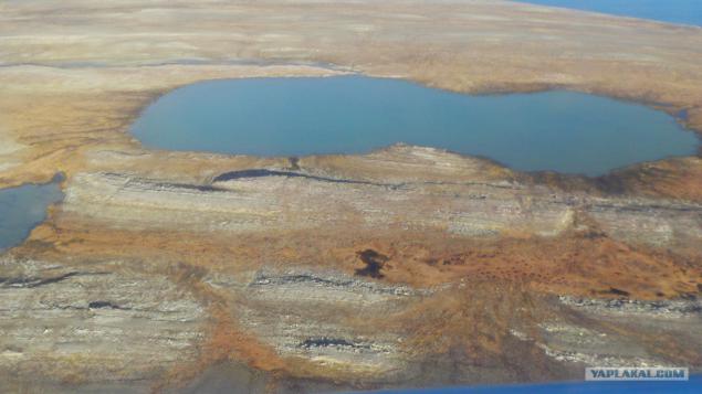
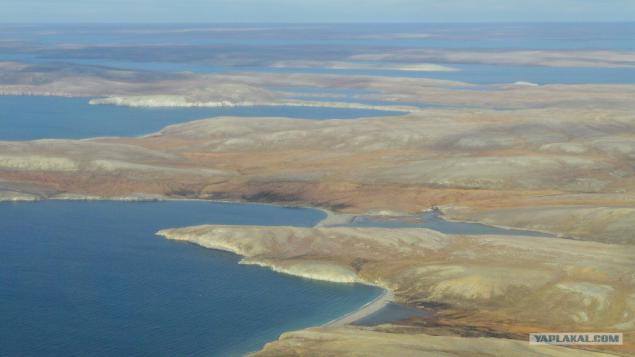
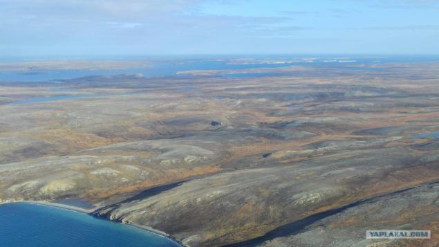
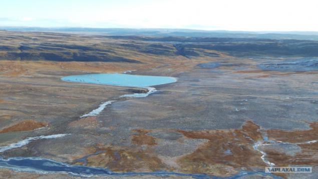
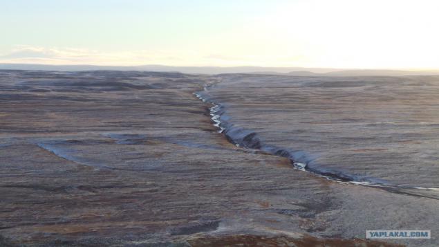
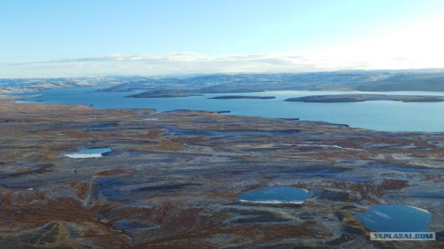
The entire surface of the NT shows Arctic tundra, no trees here, too, the grass does not grow everywhere. Tundra rocky, soaked with water, which is not going anywhere because of the fact that the bottom of the permafrost. In general, during the summer there are running streams and lakes accumulate endless. CHERNOZEMS here either.
by September all the snow on the flat parts of the NT last - the time to melt, but in mid-September is already falling new)))
other types
and
Another landscape
on the road, I met with teddy bear, but because of the wild vibrations did not work, sorry for the quality

but the deer seems to be nothing left
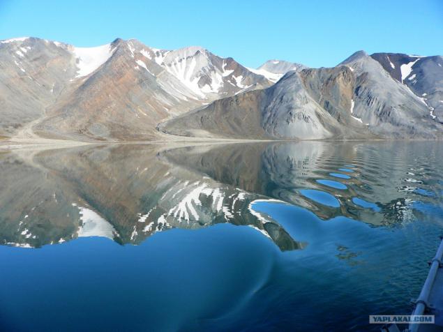
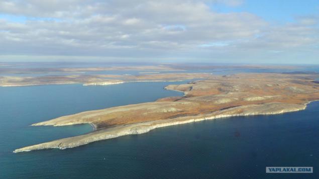
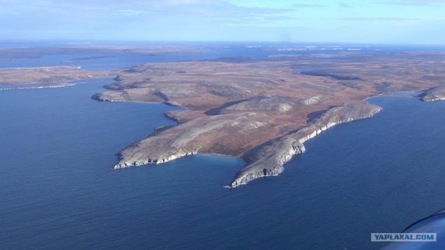
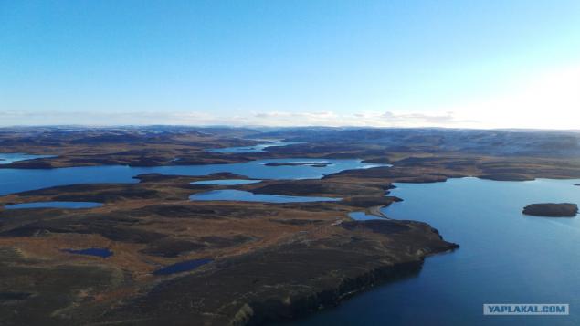
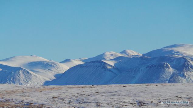
while advancing into the heart of the archipelago begins to give way to plain mountainous terrain.
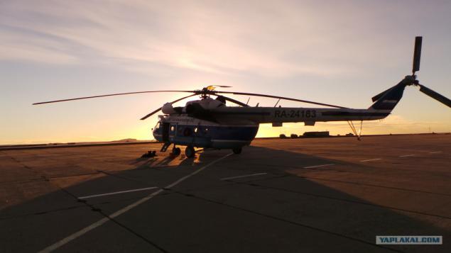
the only airport in the NC - Rogachevo
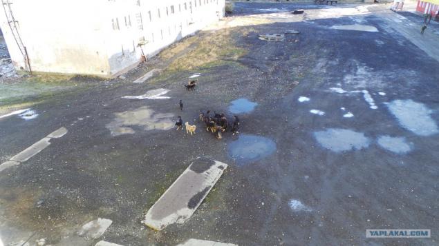
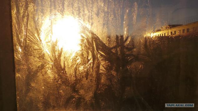
(from the hotel window) dogs in NZ just Nemer, each pack of their own territory and they are its roof (just like in 90 people) who is holding territory from the dining room, someone at the dump, someone at the airport )))
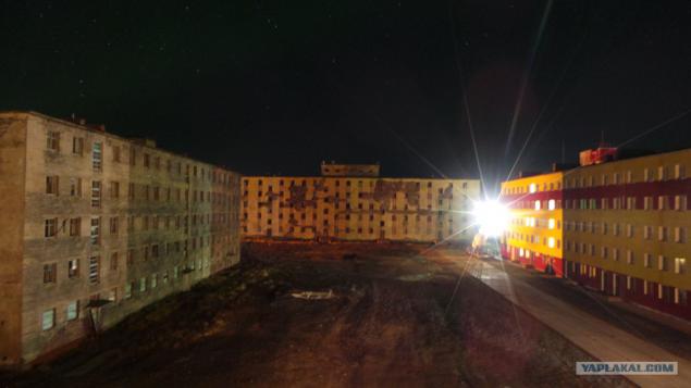
night view from the hotel. Generally in Rogachevo not many buildings, while 80% of them are in a derelict state
in general, in early October temperatures above zero, but in the morning already freezes.
in the morning we fly further north of the island.
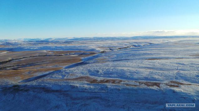
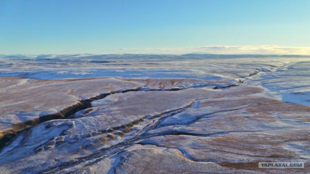
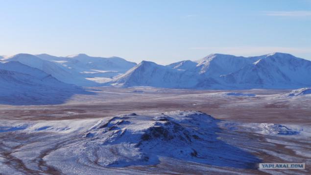
landscape already looks more frozen (or frostbitten)
small lakes and puddles had frozen, while the large water and rivers are no
beautiful
More
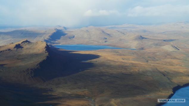
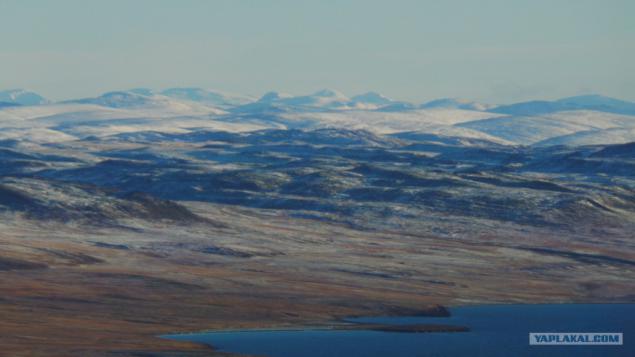
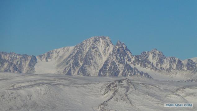
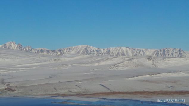
there are mountains, the height of the highest mountain on the southern island of NZ 1291metr. Naturally at this altitude the snow does not melt, even here in the summer.
More
the colder the farther
desolate frozen wilderness
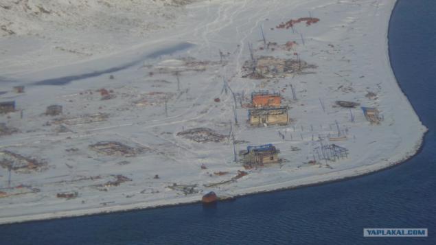
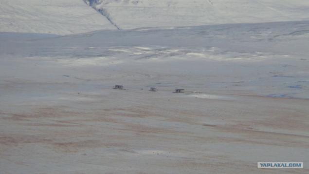
... But there are places here such construction. Many of them used to be houses of the local indigenous people, which is completely evicted from here 1953godu when the NC has been declared a central polygon.
view from the ground
even landscape
fly further
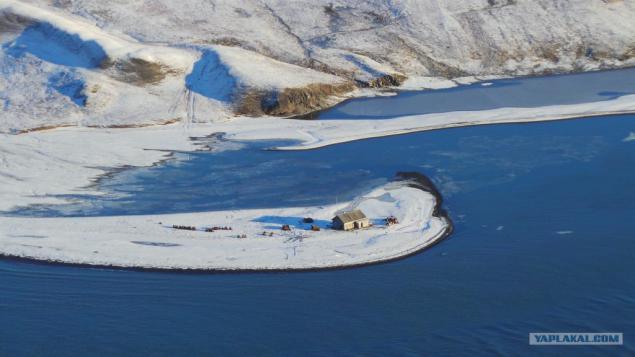
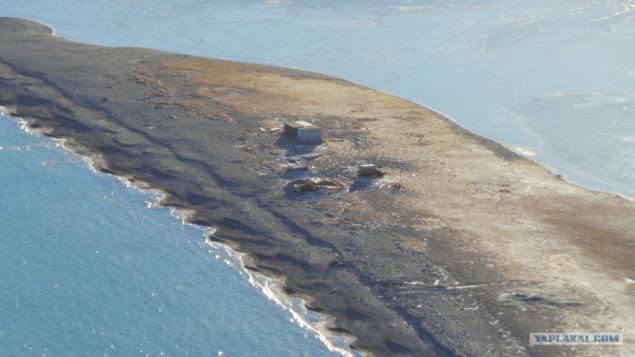
fishing station (acting)
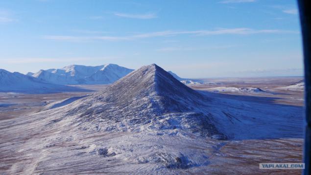
Mount Peel (although it is me more napiminaet cap)
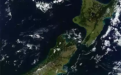
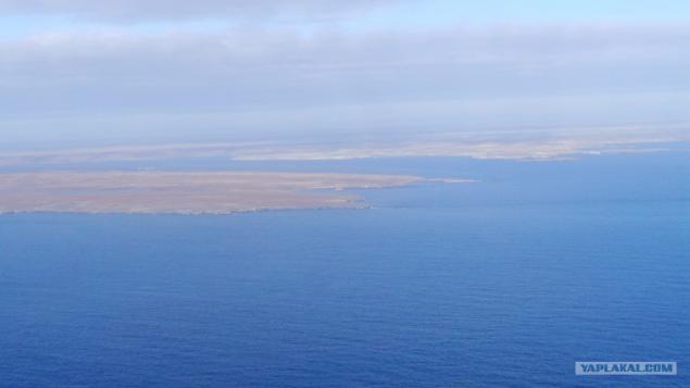
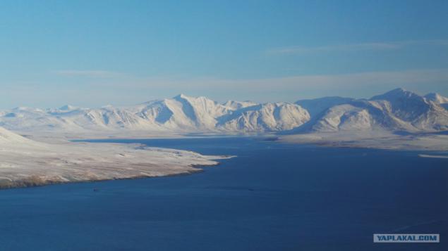
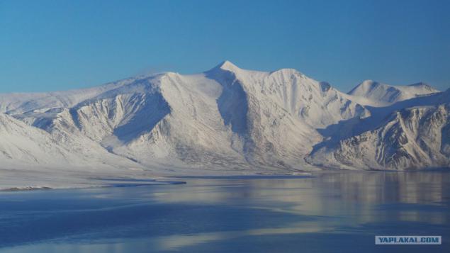
Strait Matochkin (yes, strange name) - a width of 1-3km, shares in the NZ South Island and the North. Well and accordingly connects the Kara and Barents Seas
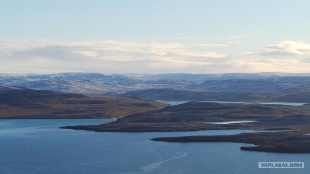
This view of the North Island and the mountains here, I must say, quite kayfovye.
but the settlement of indigenous people, visible even something like streets, poles, even there, although where they immediately took the electricity I do not understand. Locals say there's even a cemetery, but I have not seen.
another view of the North Island.
more buildings, too, everything is thrown
oh beauty
Source:
Have to get there by helicopter from Arkhangelsk, it takes no less than 8-9 hours, the flight with two landings to refuel.
Seen here on Yap is already a topic about the New Earth, but they were mostly photo-vesny.U winter I will also be a photo of October and July (which some of you will realize the amount of green in the photo).
Will be 60 photos

Weather in the Archipelago live their lives and can be predicted even experienced meteorologists)))

So it would join, but because everyone can see the New Earth when a helicopter approaching her. For this we have to overcome a half-hour flight over the Kara Gate (the strait between the mainland and the New).

The entire surface of the NT shows Arctic tundra, no trees here, too, the grass does not grow everywhere. Tundra rocky, soaked with water, which is not going anywhere because of the fact that the bottom of the permafrost. In general, during the summer there are running streams and lakes accumulate endless. CHERNOZEMS here either.

by September all the snow on the flat parts of the NT last - the time to melt, but in mid-September is already falling new)))

other types

and

Another landscape

on the road, I met with teddy bear, but because of the wild vibrations did not work, sorry for the quality

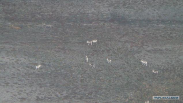
but the deer seems to be nothing left

while advancing into the heart of the archipelago begins to give way to plain mountainous terrain.

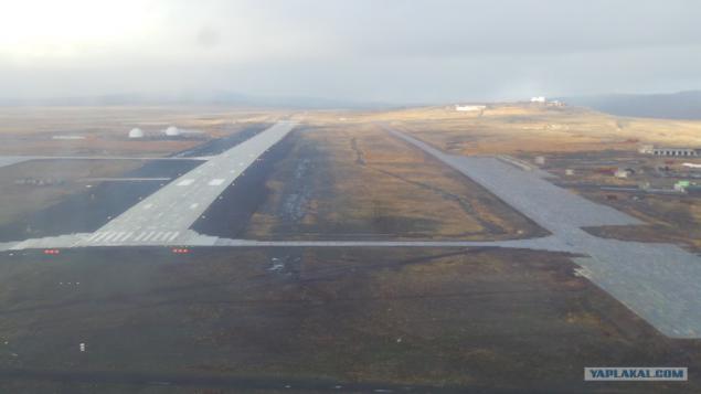
the only airport in the NC - Rogachevo

(from the hotel window) dogs in NZ just Nemer, each pack of their own territory and they are its roof (just like in 90 people) who is holding territory from the dining room, someone at the dump, someone at the airport )))

night view from the hotel. Generally in Rogachevo not many buildings, while 80% of them are in a derelict state

in general, in early October temperatures above zero, but in the morning already freezes.

in the morning we fly further north of the island.

landscape already looks more frozen (or frostbitten)

small lakes and puddles had frozen, while the large water and rivers are no

beautiful

More

there are mountains, the height of the highest mountain on the southern island of NZ 1291metr. Naturally at this altitude the snow does not melt, even here in the summer.

More

the colder the farther

desolate frozen wilderness

... But there are places here such construction. Many of them used to be houses of the local indigenous people, which is completely evicted from here 1953godu when the NC has been declared a central polygon.

view from the ground

even landscape

fly further

fishing station (acting)

Mount Peel (although it is me more napiminaet cap)

Strait Matochkin (yes, strange name) - a width of 1-3km, shares in the NZ South Island and the North. Well and accordingly connects the Kara and Barents Seas

This view of the North Island and the mountains here, I must say, quite kayfovye.

but the settlement of indigenous people, visible even something like streets, poles, even there, although where they immediately took the electricity I do not understand. Locals say there's even a cemetery, but I have not seen.

another view of the North Island.

more buildings, too, everything is thrown

oh beauty

Source: