440
Bekirov Yar
The Soroca is in the depth and slopes of big basin down to the Dniester. Their height more than 100 m From the road Chisinau Attack on the slope winds very picturesque serpentine road leading to the city. Just about 1.5 km to the magpies, reaching the bridge located at the southern tip Bekirova mountains, whose height varies between 50 and 60 m. a mountain, a bridge crossing a small stream and gorge stretches between the slope basin and Bekirova mountain, called Bagirovym. It is famous the fact that directly in its middle part cut "monk's cell" or Bekirova cave. According to the traditional legend, in this cave a few centuries ago, there lived a monk-hermit. On Sunday, he was the crowd gathered at the bottom of the ravine, and preached. Inside the cells carved bench, a table, a niche for icons and lamps and even a cellar.
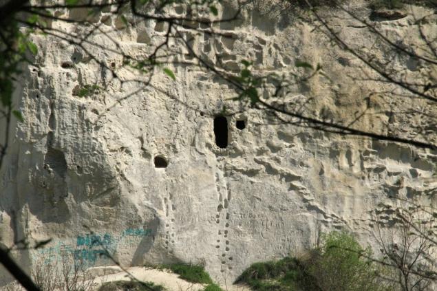
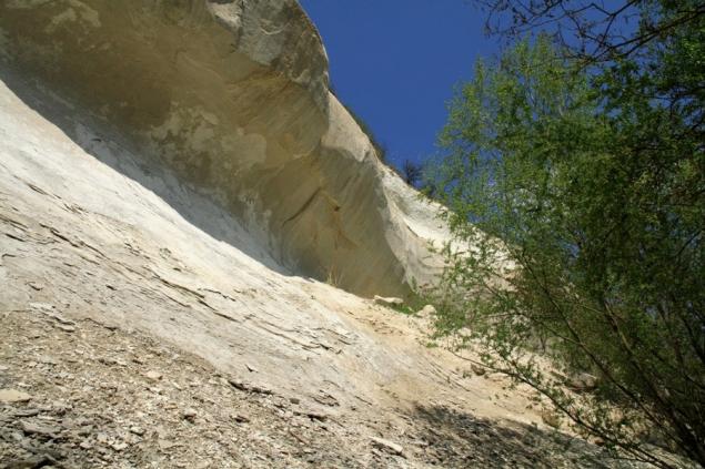
The slopes of the ravine are formed of chalk, tardansky and Sarmatian sediments and terraces of the glacial epoch. Yar length more than 10 km, the width of the mouth of 375 m, a depth in some places more than 100 m. Especially impressive is the look of the Cretaceous rocks, which reach heights of 50 m. Impressive overhanging the gorge of the chalk visors, eaten away by time, rain and winds. Bekirov Yar first described in the early nineteenth century.
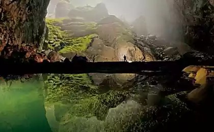
Not all sections of this gorge are easily passable, because very much overgrown forest on one side and bushes along the steep Eastern slope. In addition there are frequent rock slides, traces of which are found on the bottom of the gorge at every turn. Here you can see many huge boulders, some of which for many years covered with moss and lichens.
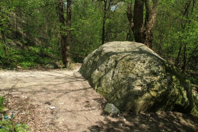
Inside the gorge is very wet and cool even in hot summer days. The place is visited by locals and traces of these tourists can also be met at every step. But the farther advance into the Yar, the less meet human footprints and faced with an untouched and pristine nature. We would advise lovers of nature, who decided to go this route, do not go alone but to go to small group in case of unforeseen circumstances.
Coming out of the gorge and crossed the bridge over the Creek, walk about 50 m along the river on a scenic road and you will see a beautifully designed source, landscaped in the 18th century and restored in 2006. On the source built a gazebo. The water is clean and tasty, here come the local residents for water. If you decide to walk further along the Dniester river Bank, be prepared to meet the guards, as the channel of the river here forms the state border with Ukraine. So, please, return to the foot of the Bekirova mountains and follow in the direction of magpies or ascend by a steep staircase with over 800 steps to the monument and admire the views of the city and the Dniester.
Source: /users/78

The slopes of the ravine are formed of chalk, tardansky and Sarmatian sediments and terraces of the glacial epoch. Yar length more than 10 km, the width of the mouth of 375 m, a depth in some places more than 100 m. Especially impressive is the look of the Cretaceous rocks, which reach heights of 50 m. Impressive overhanging the gorge of the chalk visors, eaten away by time, rain and winds. Bekirov Yar first described in the early nineteenth century.
Not all sections of this gorge are easily passable, because very much overgrown forest on one side and bushes along the steep Eastern slope. In addition there are frequent rock slides, traces of which are found on the bottom of the gorge at every turn. Here you can see many huge boulders, some of which for many years covered with moss and lichens.

Inside the gorge is very wet and cool even in hot summer days. The place is visited by locals and traces of these tourists can also be met at every step. But the farther advance into the Yar, the less meet human footprints and faced with an untouched and pristine nature. We would advise lovers of nature, who decided to go this route, do not go alone but to go to small group in case of unforeseen circumstances.
Coming out of the gorge and crossed the bridge over the Creek, walk about 50 m along the river on a scenic road and you will see a beautifully designed source, landscaped in the 18th century and restored in 2006. On the source built a gazebo. The water is clean and tasty, here come the local residents for water. If you decide to walk further along the Dniester river Bank, be prepared to meet the guards, as the channel of the river here forms the state border with Ukraine. So, please, return to the foot of the Bekirova mountains and follow in the direction of magpies or ascend by a steep staircase with over 800 steps to the monument and admire the views of the city and the Dniester.

Source: /users/78
