521
Taganay
18 ph.
_______
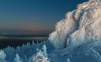
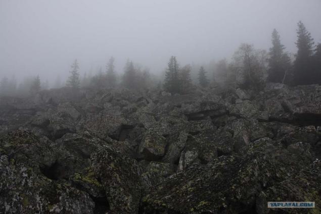
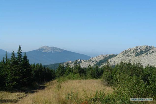
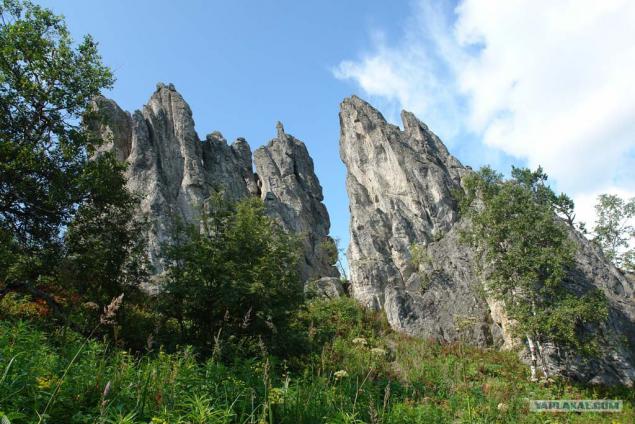
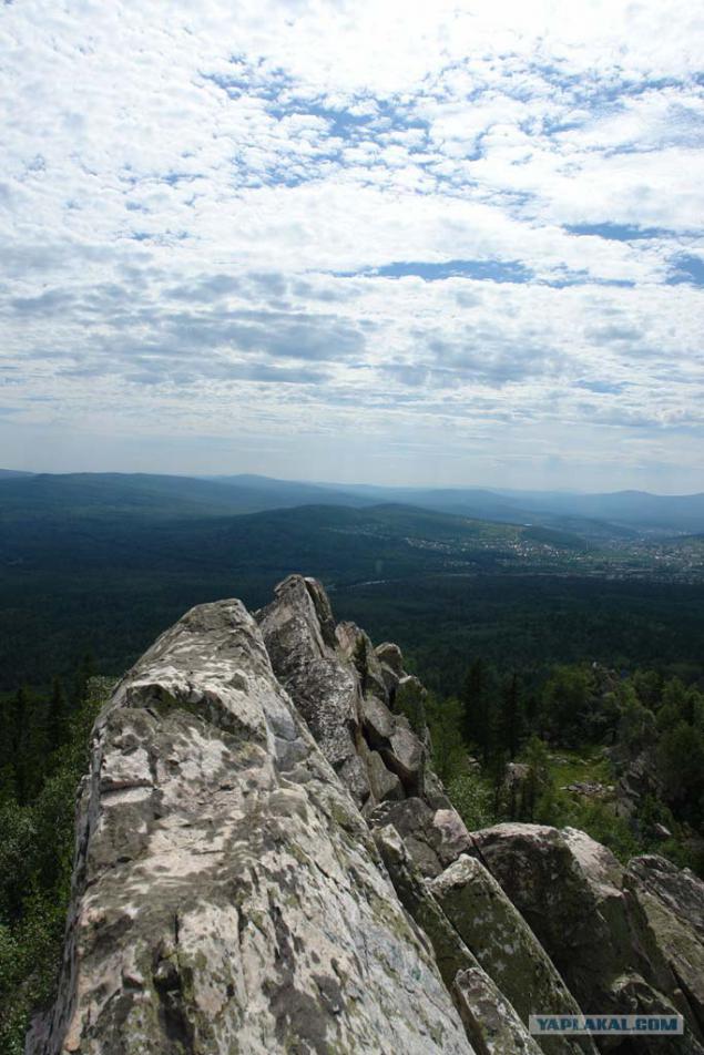
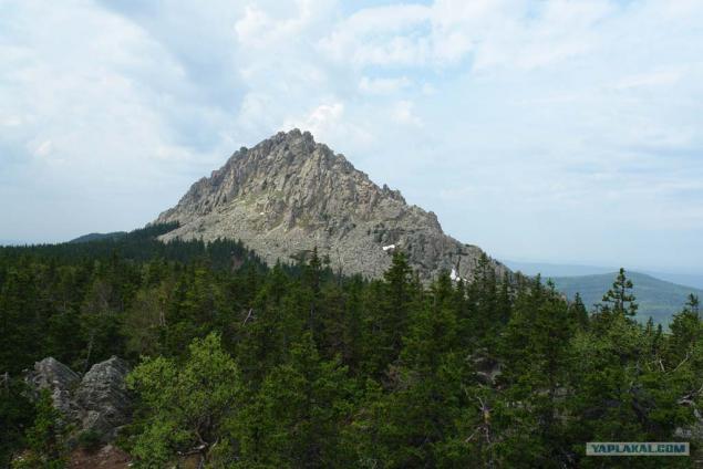
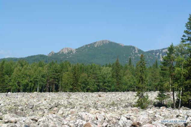
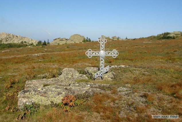
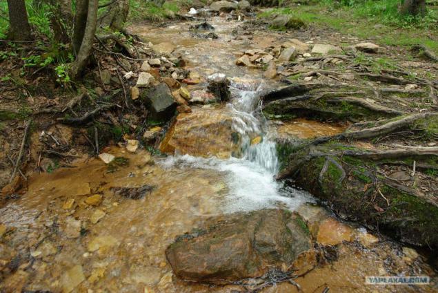
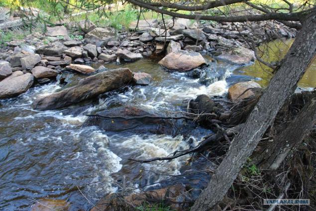
Taganay - National Park in the group ranges Taganay in the southern Urals. Located in the western part of the Chelyabinsk region, near the north-eastern outskirts of the city of Zlatoust. Formed by 5 March 1991.
Total area - 568 square kilometers.
Length from north to south - 52 km.
Length from west to east - an average of 10-15 km.
The frost-free period of 70 - 105 days.
Maximum temperatures up to + 38 °, minimum up to -50 °.
1.
2.
3.
4.
5.
6.
7.
8.
9.
Source:
_______
Taganay - National Park in the group ranges Taganay in the southern Urals. Located in the western part of the Chelyabinsk region, near the north-eastern outskirts of the city of Zlatoust. Formed by 5 March 1991.
Total area - 568 square kilometers.
Length from north to south - 52 km.
Length from west to east - an average of 10-15 km.
The frost-free period of 70 - 105 days.
Maximum temperatures up to + 38 °, minimum up to -50 °.
1.

2.

3.

4.

5.

6.

7.

8.

9.

Source: