1231
Kyrgyzstan - Mountains
Selection ph 26 pcs + a bit of text. Though many of the places familiar to me, not my photo!
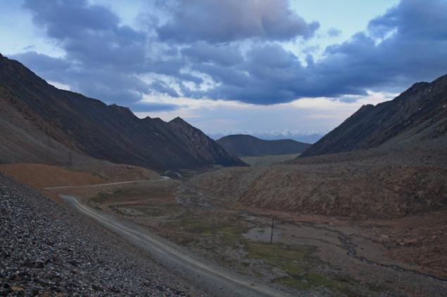
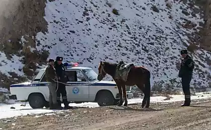
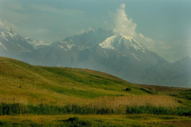
2. The whole territory of the republic lies above 500 meters above sea level; more than half of it is located at altitudes of 1,000 to 3,000 m, and about a third - at altitudes of 3,000 to 4,000 m. Mountain ranges occupy about a quarter of the territory and extend parallel chains mainly in the latitudinal direction. In the east of the main ranges of the Tien Shan converge near longitudinal ridge, creating a powerful mountain site
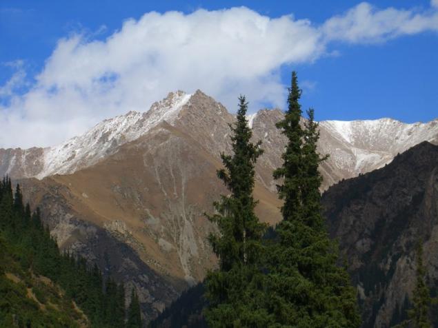
3 ...
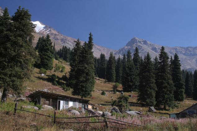
4. The length of the chains from west to east on the map Kyrgyzstan stretch 88 grand mountain ranges powerful system - Tien Shan, which translated into Russian means "celestial mountains".
5 ...
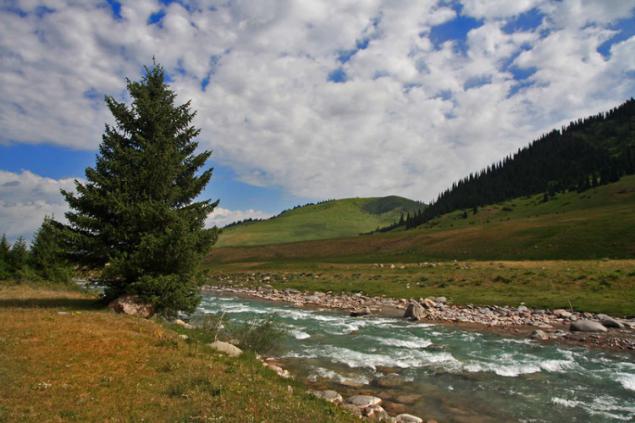
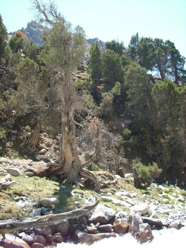
6.Vozduh, clean and fragrant, filled with the smells of juniper, alpine grasses, flowering trees and shrubs. Sky, bottomless and blue as the eyes of the beloved Aryan.
7 ...
8 ...
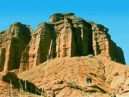
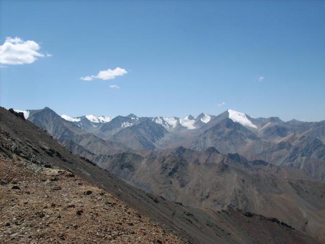
9.Kirgiziyu can rightly be called the country of the heavenly mountains. It takes a significant part of the Tien Shan and Altai - the largest mountain system in Eurasia. Approximately 90% of the territory of Kyrgyzstan lies above 1500m above sea level, about a third of them - at altitudes above 3000m. The average height of the territory - 2750m is greater maximum heights of the Carpathians, the Urals, the Crimean Mountains, Hibin. The highest point Kyrgyzstan - 7439m (Victory Peak), the lowest - 539m.
10 ...
11 ...
12 ...
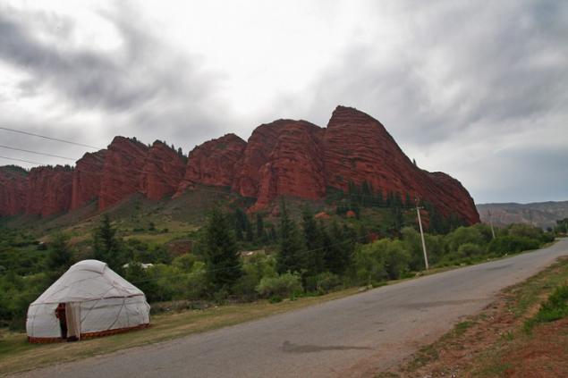
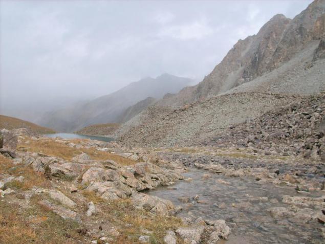
13. Depending on the amount of precipitation on some ridges snow from a height of 3600 m, and on the other with 4600 m. The mountainous terrain creates Map of Kyrgyzstan's own "altitude" zoning. Only at the foot of the mountain close to the typical conditions for neighboring warm plains. Above them is the seat of the floors with a much more moderate, and severe nature and above. Crowned this ladder tier permanent snow and ice, rest on which Kyrgyzstan has no equal. On a relatively small area of the map in Kyrgyzstan are almost all existing in our country, the types of landscapes. To visit them, enough to climb the gorge from the foot to the upper. With the rise for every 200 meters the temperature decreases by one degree. Decreases the amount of oxygen and atmospheric pressure. The higher you climb in the mountains, the air layer becomes thinner.
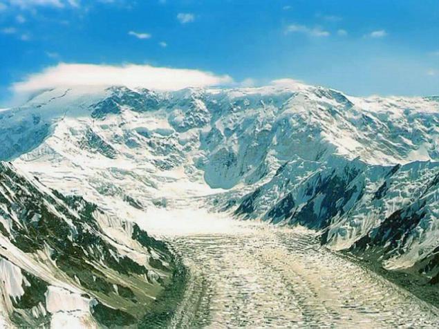
14 ... Let's look at the mountains of Tien Shan. How striking differences between the landscapes of their northern and southern slopes! On slopes facing north more obliquely incident solar rays, they are mean give heat, here longer zalezhivaetsya snow later ends before frosts begin. They are covered with forests. On the opposite slope, where the steeper the angle of the meeting with the surface of the sun's rays, stronger warming, earlier snow melt, earlier terminated and later start freezing, longer vegetative plants. According to the website of Kyrgyzstan, these slopes are covered with semi-deserts, steppes and mixed forests.
15 ...
16 ...
17 ...
18 ...
19 ...
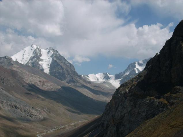
20. There is a legend: "When God divided the earth among the peoples, Kyrgyzstan, as always, slept away in the mountains. And when he came to God, all the earth were already divided. Became the Kirghiz ask God: "Well, give me a little bit, that's so and I'll stay landless?" I thought the Lord, scratched his head and said: "I left a piece of myself here at the cottage, well, what to do with you, take Vlad ! "
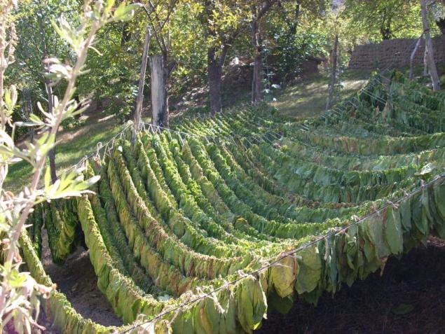
21.Sushka tobacco.
22 ...
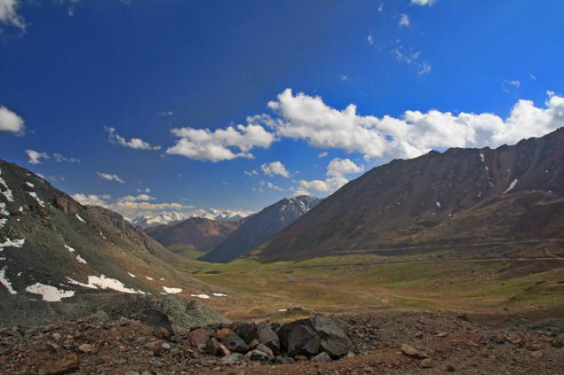
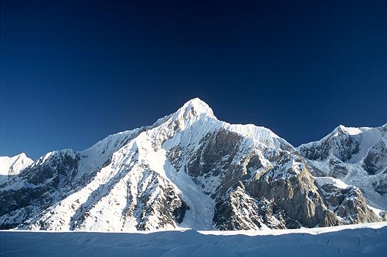
23. In Kyrgyzstan, there are three highest peaks of the Tien Shan and in general of all the mountains of Central Asia - Victory Peak, Lenin Peak (7134m) and Khan Tengri (6995m), yielding only the peak height of Communism in the Pamirs. Total in Kyrgyzstan there are 14 peaks over 6000 meters and 26 peaks higher than Mont Blanc (4807m), the highest point of Europe.
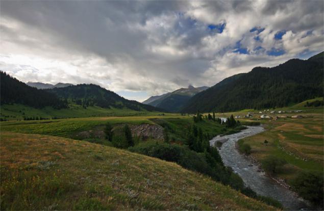
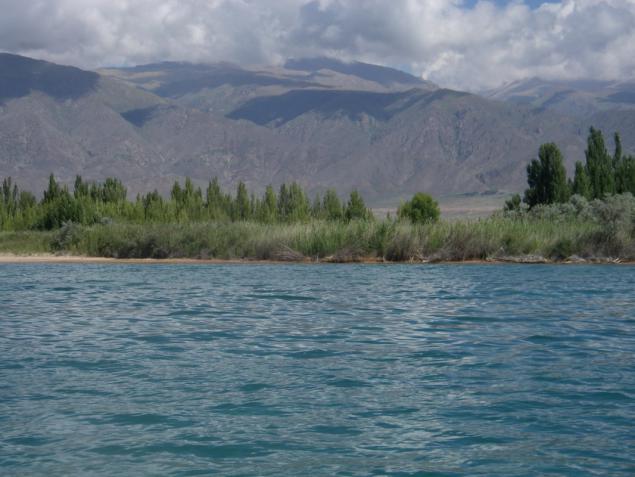
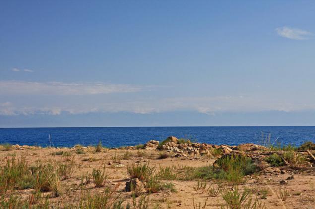
24..Shirotno elongated ridges are separated by numerous mountain valleys and basins located at different altitudes. A total of 23 large basins of Kyrgyzstan. The most extensive Ferghana hollow length of 350 and 160 km in width only by its edge portions included in Kyrgyzstan. The second largest, middle of the Issyk-Kul Basin occupies the central position. It is these basins, beautiful, with a peculiar nature, is often compared with precious stones, as if stuck in a silver frame wild, snow-capped mountains, emerald - blooming Fergana and Sapphire - Issyk-Kul.
25 ...
26. All.
Source: http: //

2. The whole territory of the republic lies above 500 meters above sea level; more than half of it is located at altitudes of 1,000 to 3,000 m, and about a third - at altitudes of 3,000 to 4,000 m. Mountain ranges occupy about a quarter of the territory and extend parallel chains mainly in the latitudinal direction. In the east of the main ranges of the Tien Shan converge near longitudinal ridge, creating a powerful mountain site

3 ...

4. The length of the chains from west to east on the map Kyrgyzstan stretch 88 grand mountain ranges powerful system - Tien Shan, which translated into Russian means "celestial mountains".

5 ...

6.Vozduh, clean and fragrant, filled with the smells of juniper, alpine grasses, flowering trees and shrubs. Sky, bottomless and blue as the eyes of the beloved Aryan.

7 ...

8 ...

9.Kirgiziyu can rightly be called the country of the heavenly mountains. It takes a significant part of the Tien Shan and Altai - the largest mountain system in Eurasia. Approximately 90% of the territory of Kyrgyzstan lies above 1500m above sea level, about a third of them - at altitudes above 3000m. The average height of the territory - 2750m is greater maximum heights of the Carpathians, the Urals, the Crimean Mountains, Hibin. The highest point Kyrgyzstan - 7439m (Victory Peak), the lowest - 539m.

10 ...

11 ...

12 ...

13. Depending on the amount of precipitation on some ridges snow from a height of 3600 m, and on the other with 4600 m. The mountainous terrain creates Map of Kyrgyzstan's own "altitude" zoning. Only at the foot of the mountain close to the typical conditions for neighboring warm plains. Above them is the seat of the floors with a much more moderate, and severe nature and above. Crowned this ladder tier permanent snow and ice, rest on which Kyrgyzstan has no equal. On a relatively small area of the map in Kyrgyzstan are almost all existing in our country, the types of landscapes. To visit them, enough to climb the gorge from the foot to the upper. With the rise for every 200 meters the temperature decreases by one degree. Decreases the amount of oxygen and atmospheric pressure. The higher you climb in the mountains, the air layer becomes thinner.

14 ... Let's look at the mountains of Tien Shan. How striking differences between the landscapes of their northern and southern slopes! On slopes facing north more obliquely incident solar rays, they are mean give heat, here longer zalezhivaetsya snow later ends before frosts begin. They are covered with forests. On the opposite slope, where the steeper the angle of the meeting with the surface of the sun's rays, stronger warming, earlier snow melt, earlier terminated and later start freezing, longer vegetative plants. According to the website of Kyrgyzstan, these slopes are covered with semi-deserts, steppes and mixed forests.

15 ...

16 ...

17 ...

18 ...

19 ...

20. There is a legend: "When God divided the earth among the peoples, Kyrgyzstan, as always, slept away in the mountains. And when he came to God, all the earth were already divided. Became the Kirghiz ask God: "Well, give me a little bit, that's so and I'll stay landless?" I thought the Lord, scratched his head and said: "I left a piece of myself here at the cottage, well, what to do with you, take Vlad ! "

21.Sushka tobacco.

22 ...

23. In Kyrgyzstan, there are three highest peaks of the Tien Shan and in general of all the mountains of Central Asia - Victory Peak, Lenin Peak (7134m) and Khan Tengri (6995m), yielding only the peak height of Communism in the Pamirs. Total in Kyrgyzstan there are 14 peaks over 6000 meters and 26 peaks higher than Mont Blanc (4807m), the highest point of Europe.

24..Shirotno elongated ridges are separated by numerous mountain valleys and basins located at different altitudes. A total of 23 large basins of Kyrgyzstan. The most extensive Ferghana hollow length of 350 and 160 km in width only by its edge portions included in Kyrgyzstan. The second largest, middle of the Issyk-Kul Basin occupies the central position. It is these basins, beautiful, with a peculiar nature, is often compared with precious stones, as if stuck in a silver frame wild, snow-capped mountains, emerald - blooming Fergana and Sapphire - Issyk-Kul.

25 ...

26. All.

Source: http: //
