923
Natural disasters satellite GeoEye (22 photos)
Employees of the company GeoEye made a selection of images from his companion, who makes a very detailed pictures of the earth's surface, dedicated to natural disasters. Basically, in the compilation of forest fires, floods (before and after), impacts of cyclones and hurricanes. In addition to the United States there are pictures of Europe and Asia. According to the editor pictures show how land can be unfriendly.
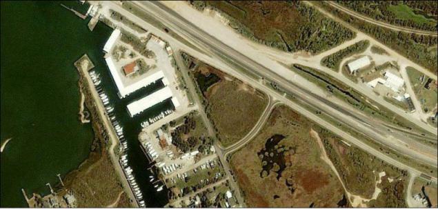
1. Before Hurricane Ike hit Texas.
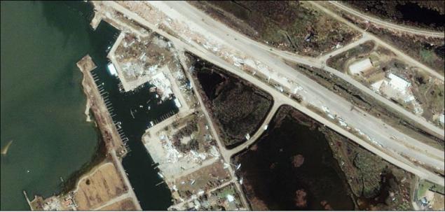
2. After the impact of Hurricane Ike in Texas.
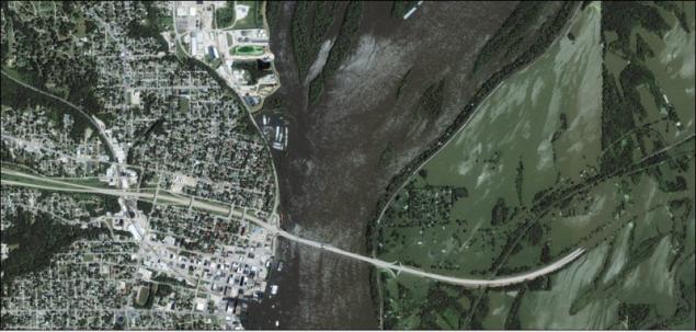
3. Flooding in Galfporte, Illinois.
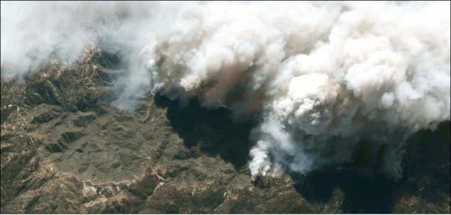
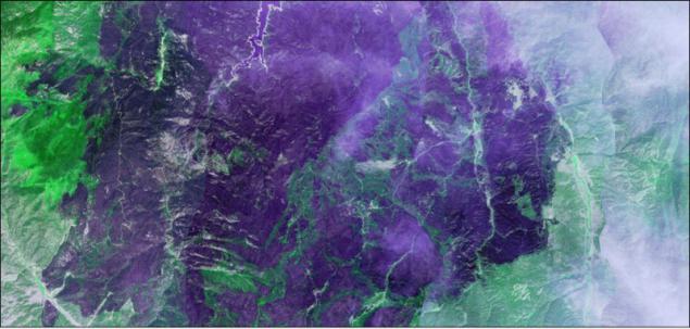
4. Forest fires in California.
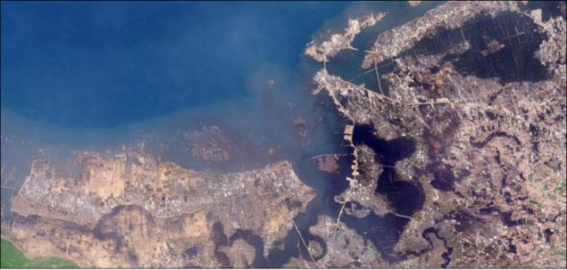
5. The coast of Indonesia affected by the tsunami.
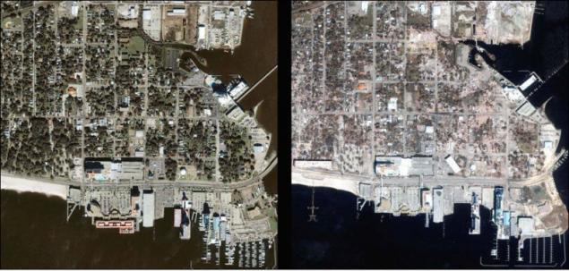
6. City Biloxi before and after the impact of Hurricane Katrina.
7. landslides in Niigata, Japan.
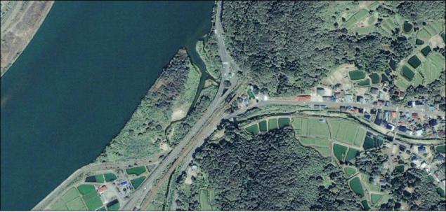
8. The consequences of the floods in Germany, 2002.
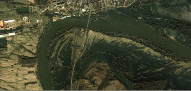
9. The impact of the floods in Germany, 2002.
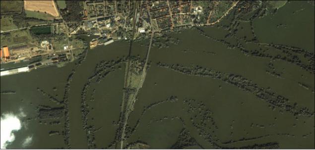
10. Greensburg, Kansas. Tornado passed through the city.
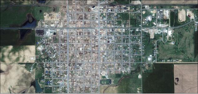
11. Galfport, before and after the impact of Hurricane Katrina in 2005.
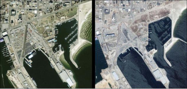
12. Forest fires in Colorado.
13. New Orleans before and after Katrina.
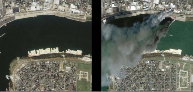
14. New Orleans before and after Katrina.
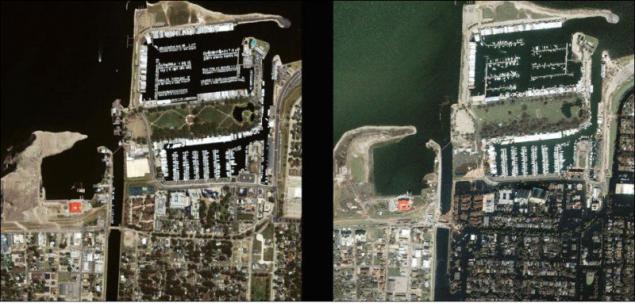
15. New Orleans before and after Katrina.
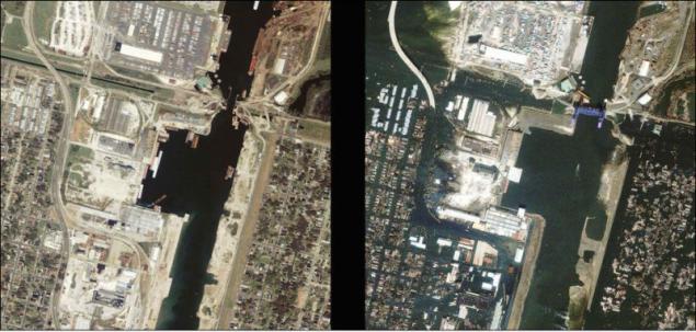
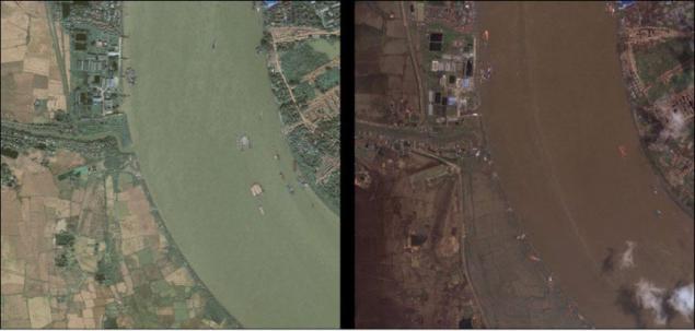
16. On the River Rangoon, Myanmar, before and after the impact of the cyclone.
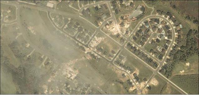
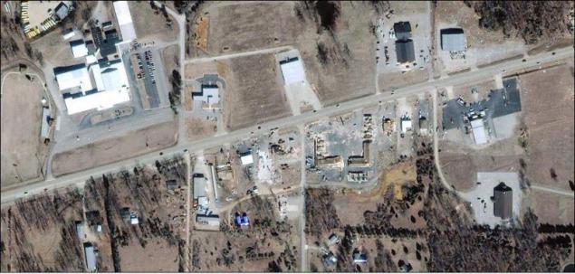
17. Tornado in Arkansas.
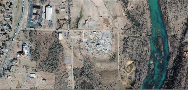
18. Tornado in Arkansas.
19. Destruction from the tornado in Suffolk.
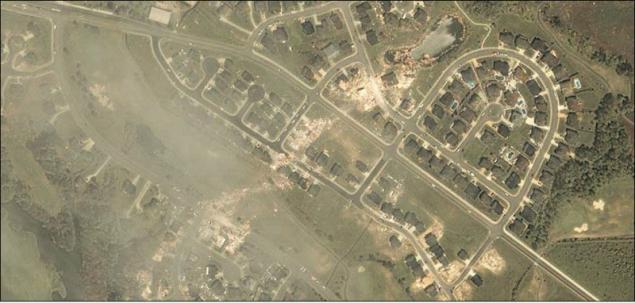
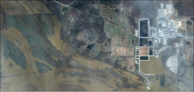
20. Flooding plant in Newark.
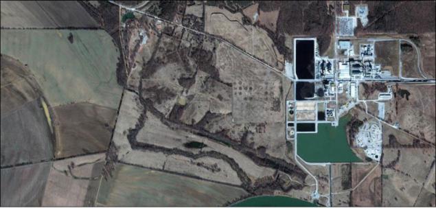
21. The power plant in Newark after flooding.