996
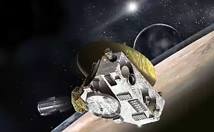
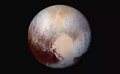
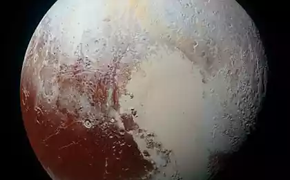
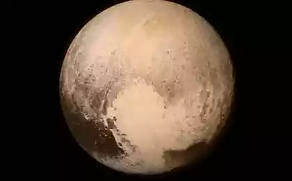
It presents the first map of Pluto on the basis of New Horizons
This is - not a photograph, and the image is created in the graphic editor. I>
Team New Horizons probe on the basis of the data from the device to create a map of the dwarf planet. At the same time the world's first map of Pluto can be viewed using Google Earth, сообщается Online NASA. To see a map, must download Google Earth, as well as data on Pluto.
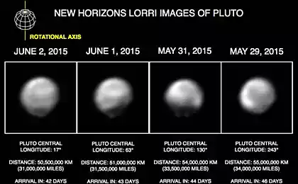
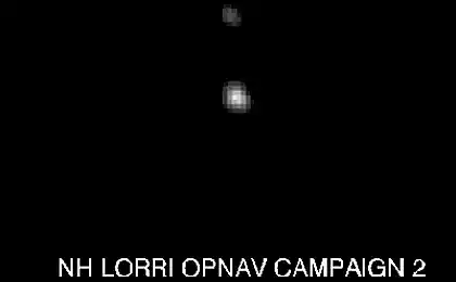
Now the card is not too clear, but as we approach New Horizons to Pluto pictures will be more qualitative, map, respectively, will also be improved. Now for its creation were used photographs taken tools Long Range Reconnaissance Imager (LORRI) and Ralph in the period from 27 June to 3 July.
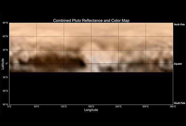
Image: NASA / JHUAPL / SWRI i>
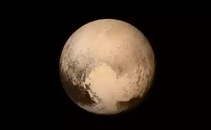
The strongest interest of scientists cause dark areas of Pluto, the origin of which scientists still can not explain. In addition, on the surface of the dwarf planet and seen bright spots, also remains open to question. Interestingly, most of the dark areas are located along the equator, the length of the largest area is about three thousand kilometers.
A bright region is not much smaller, its diameter is 1, 6 thousand kilometers. Perhaps this region formed solid methane, nitrogen and / or carbon monoxide (CO, carbon monoxide). In addition there is a large dark area and several smaller spots. On the left you can see the formation, similar to the crater, although the findings do early. The diameter of the object is approximately 350 kilometers.
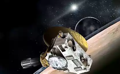
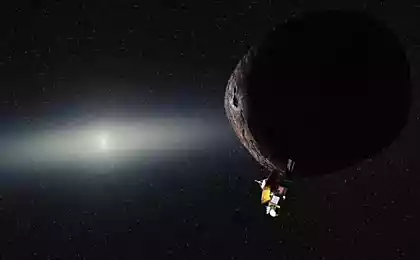
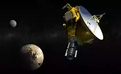
It will be recalled that last week the New Horizons has stopped responding to commands control center. Although the unit was able to get back to work almost all week has been lost to science. At the minimum distance to Pluto New Horizons will approach 14 July this year. This distance is 12, 5 thousand kilometers. Scientists hope was then to get as much information about the dwarf planet, including data survey the surface of Pluto.
Source: geektimes.ru/post/253212/


Fitness Trackers not forever: interest in wearable devices falls
DeepDream - Visualizer work neural network