916
Military topography
February 8th military surveyors celebrate their professional holiday. At the age of advanced technology and high-precision weapons of their profession is irreplaceable for the gunners. The error, which committed the shooting does not exceed one-hundredth of a meter, and that of the competent work of the independent surveyors, which will fly a rocket. With a theodolite, a tripod and a pole surveyors travel through our vast country. Military topography of all this are even automatic, duffel bag, and much more. Representatives of the 20th Guards Red Banner Field Army invited me and my colleagues to get acquainted with what modern living surveyors, to show how, in fact works GLONASS what "Army Navigator" and life-support module.
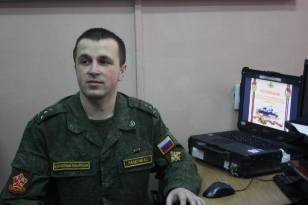
Alex Laletin Chief Topographic Service Staff 20th Army tells and shows us what the topography than the satellite image is different from the three-dimensional image, and why is it necessary. By the way, last year during the exercise "Zapad" to him on Sunday arrived Defense Minister of Belarus with the request to adopt experience. The group led by Alexei in unfamiliar terrain Belarusian soon found out what was happening, what to put in a stupor hosts
33 photos + text. A source.
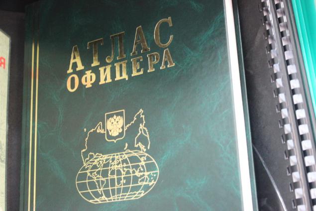
- What's this for? XXI Century, outlived its paper maps.
- Become obsolete, but not quite. In all, even the powerful technique there is such a thing as a "battery low". What are you with your handheld device in the woods then you do - explain to me.
02.

Not allowed to look through ...
03.
04.

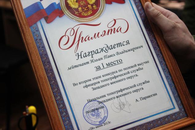
Recent trophies ...
05.
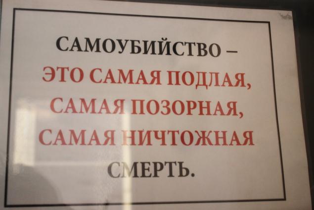
Sotsialochka ...
06.
The history of the topography in the people in the devices
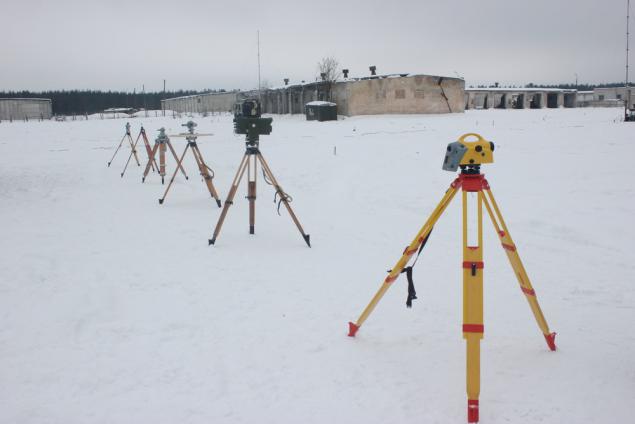
Mobile points
08.
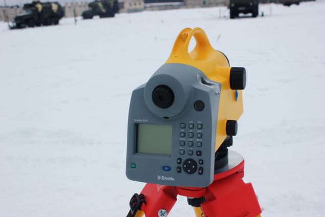
Device
09.
Building
10.
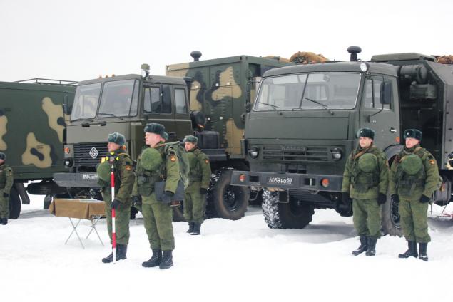
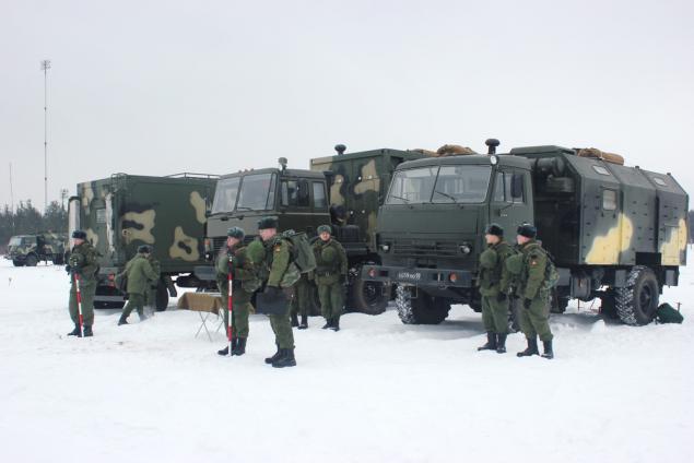
Assignments handed out - running march, all perform. Topography operate exclusively contractors - for a year to teach this craft conscript impossible. Officers tell us that the surveyors do not have nearsightedness or farsightedness in old age - the vision they have always one.
11.
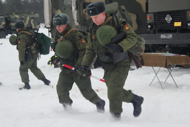
Fields, fields ...
12.

Installation takes less than a minute devaysa
13.
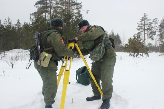
Nearly colleagues
14.
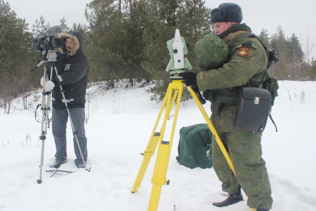
Device in
15.
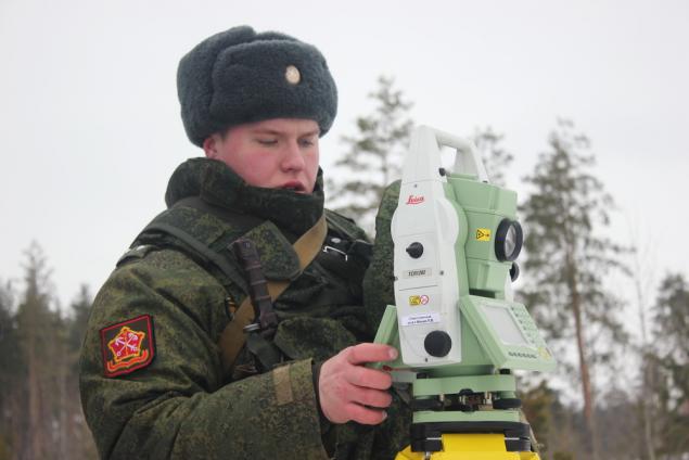
"Kalash" is always behind
16.
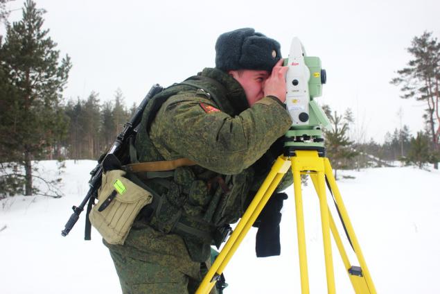
And tablet and pouch
17.
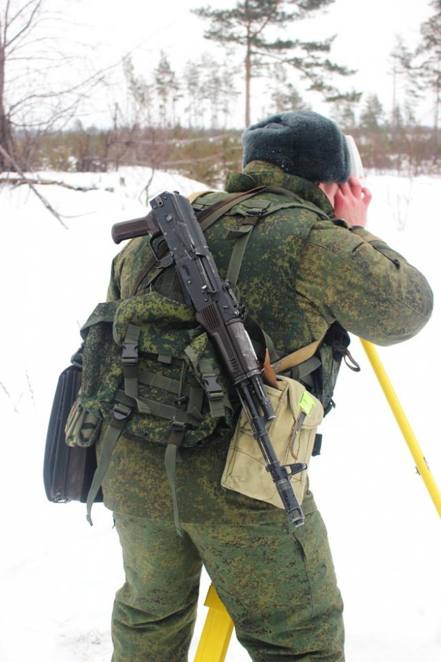
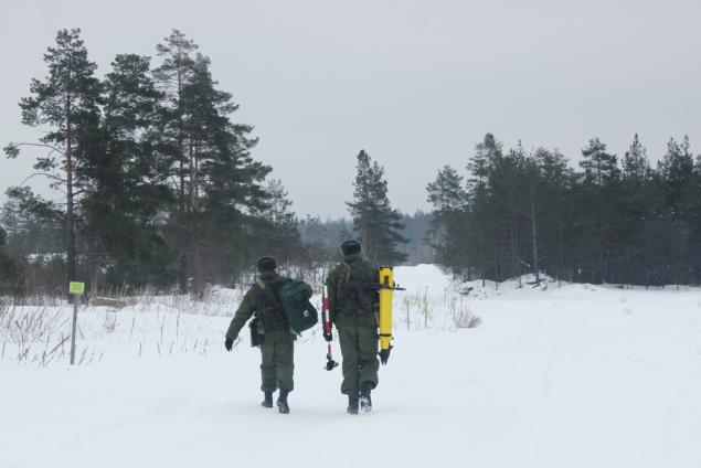
The first task is executed - the group goes on
18.
Ram shown for comparison - the navigator on the right - obsolete - the 2011 edition and the new Left - the release of 2013. They withstand a nuclear blast, any machine jamming in the end they can be used as a weighting agent in a fist fight. Break it, unlike my tablet unrealistic. In addition, as told officers at the smallest "machine jamming" tablet lose my network, and the ever.
19.
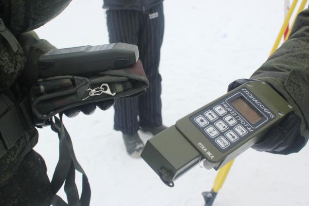
Navigator new model army
20.
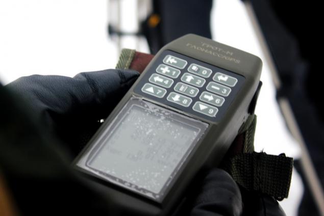
Another device
21.
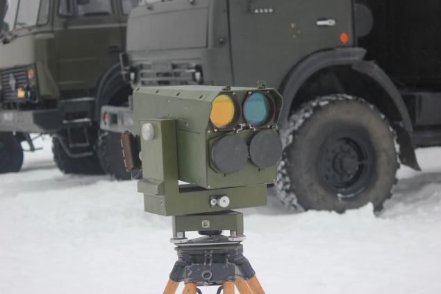
The downside
22.
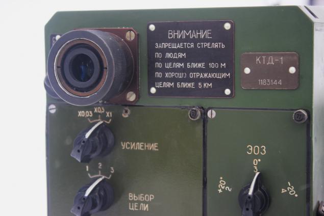
Find extra)))
23.
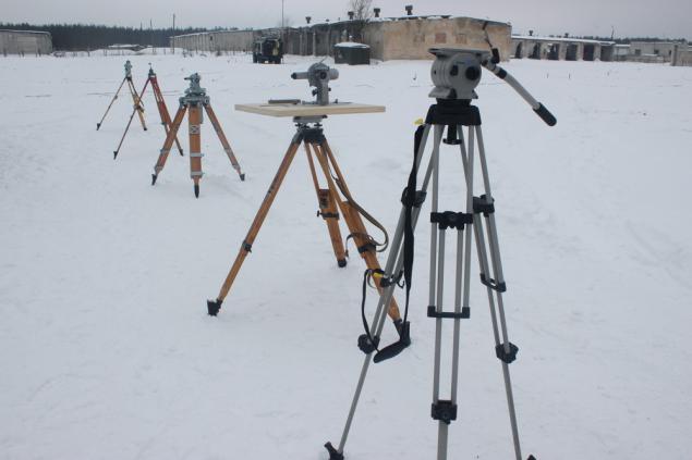
Meeting point - here receives all information
24.
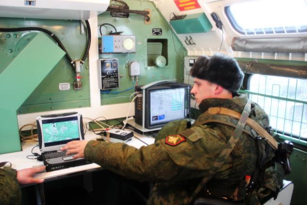
You can work on the go
25.

26.
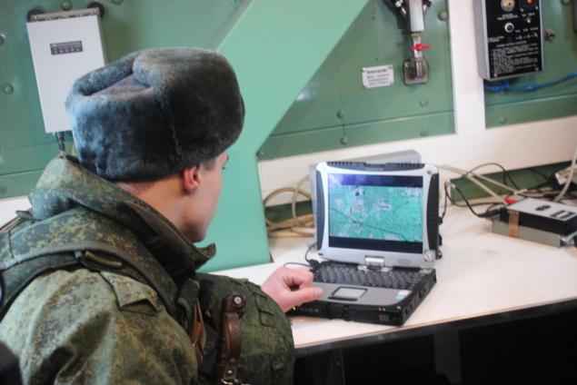
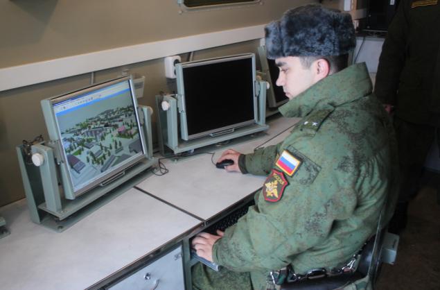
And this is the most modern command center
27.
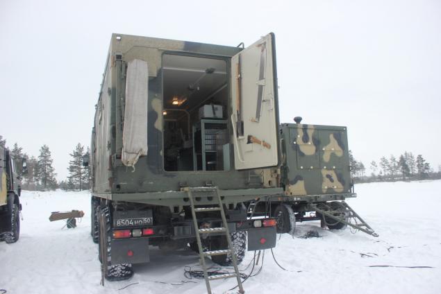
3D projection on the ground
28.
We are invited to the module life support. Usually there are heated troops in between workouts
29.
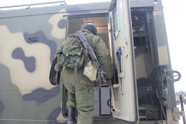
But it really is possible to live!
30.

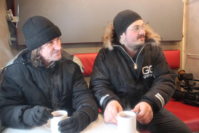
Operators Khlobystov Nikolai and Sergei Kovalev bask tea
31.
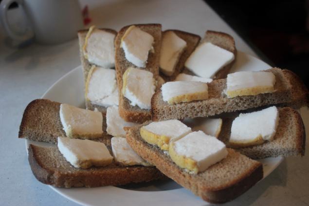
We bring the most delicious food in the world - bread, bacon and onions! Very nutritious in the cold!
32.
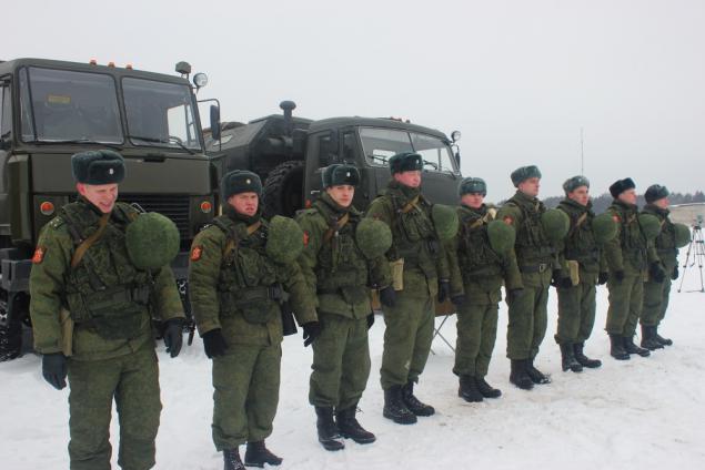
And again in the campaign!
33.
Posted in [mergetime] 1391873995 [/ mergetime]
All!
Source: ">