1309
Google Earth - debunker military secrets
About ten years ago, the Google search engine has launched a unique project Google Earth. Many parts of the earth's surface proved to be available for viewing in high definition using images taken from space.
With the advent of information technology we have at their disposal high-quality cards that have a high resolution, can show the topography and perform many other useful functions. All of these features are available for free. Google Earth (Google Earth) is one of the best, perhaps the best application that is free and available for everybody.
To complete the program requires an internet connection as well as the size of 16 megabytes is only the program, but the cards are loaded with the online viewing.
44 photos
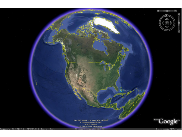
The image and the layers of the program stored in the cache, which significantly saves time and bandwidth. System Requirements on Google Earth very small: 1-2 GHz processor and 1 GB of RAM. But if necessary, the program can run on a slower computers, including mobile phones. In many ways, the download speed is dependent on the Internet, but the 20-50 Kb / s will be enough not to wait a long time to load when the next section.
In Google Earth, you can use several types of research. For example, enter the name of the city or a particular street in English or Russian, and the program and will indicate the exact location. It can also count the way. To do this, you must enter the "name" starting and ending points, and the program will show the right path that will stand out in blue and accompanied by inscriptions that help not to get lost.
In Google Earth, there are special layers that show a panorama gallery, weather and more. If a layer interferes with the normal view, or there is no need, at any moment it can be disabled. The program image quality makes a good impression. In some areas you can watch shooting objects with a height of several tens of meters, which made it possible to see the smallest details.
It is possible to view the 3d-objects, especially when it's convenient "travel" through the streets of cities or viewing of large objects.
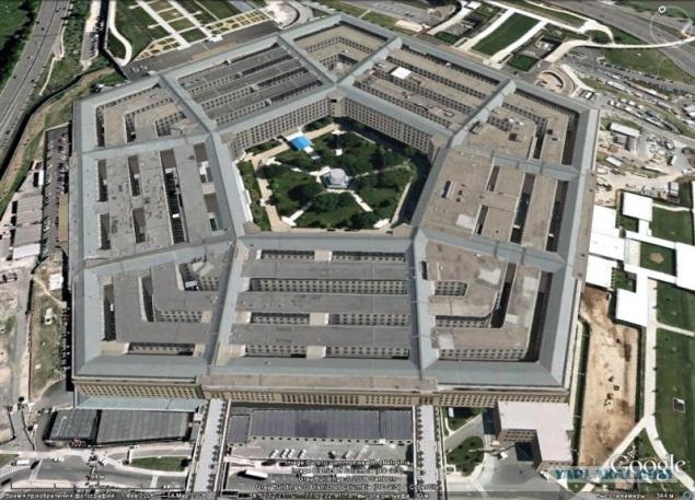
Photo: Pentagon
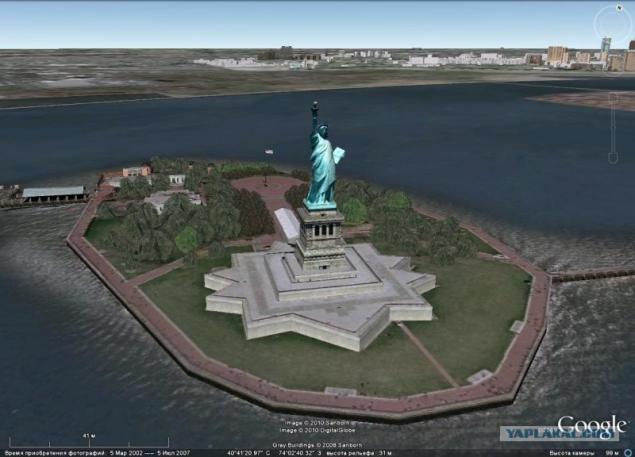
Statue of Liberty
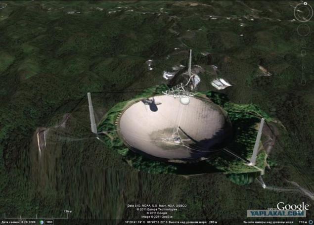
Arecibo radio telescope
On top of that published satellite images of military installations around the world. Despite the presence of a "closed" to view areas such such as the Aberdeen Proving Ground in the United States, most of the military facilities readily available for viewing. Thus, images that were previously only available to secret services and were classified as proved possible to view all comers.
From now on, everyone can, as they say, the piece count the number of aircraft, missiles, ships. What has recently been the prerogative of the military intelligence services of the world, it has now become an object of entertainment lovers. Of particular interest are the strategic nuclear forces (SNF). The pictures indicating latitude and longitude, you can see interesting details.
As you know the foundation of US strategic forces comprise ballistic missiles placed in submarines (SLBM). Each is equipped with 24 SLBM SSBN class "Trident-2". At the moment, the marine component of the strategic nuclear forces the United States account for 14 nuclear submarines (SSBN) with 336 SLBMs.
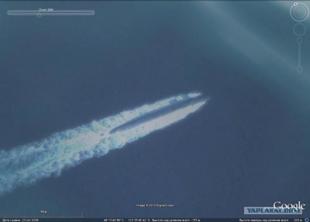
By virtue of the ability to conduct long-term patrols being submerged, SSBNs are challenging for satellite imagery objects.
Naval Base in Groton
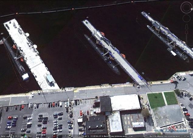
SSBN at the pier in Bangor
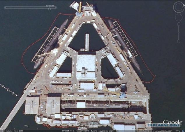
It is much easier to observe the submarine located at the quays, the docks and the collection point.
Land Component US strategic nuclear forces make strategic missiles equipped with intercontinental ballistic missiles (ICBMs). Currently deployed up to 450 "Minuteman" in silos (silo).
Base Malstrom, silos "Minetmen»
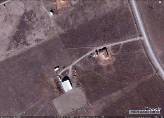
US Strategic Nuclear Forces Air Component make strategic, or heavy bombers, capable of solving the nuclear problem. All strategic bombers have the status of "dual-use": they can strike with both nuclear and conventional weapons.
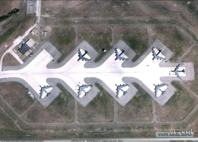
B-52H combat duty in the Air Force Base Minot
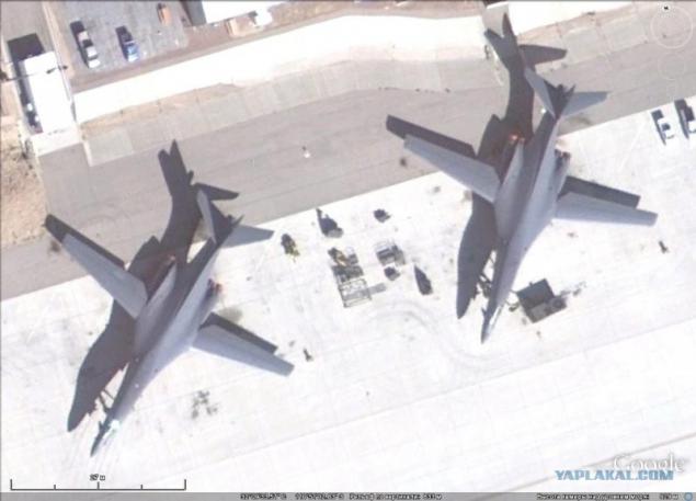
B-1B at the airbase Texon
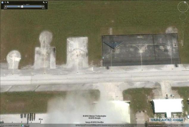
B-2A at Anderson Air Force Base
As part of the air component of the SNA in five US air bases in the continental United States is about 230 bombers, three types - B-52H, B-1B and B-2A.
Among the strategic assets are radar and missile launch sites.
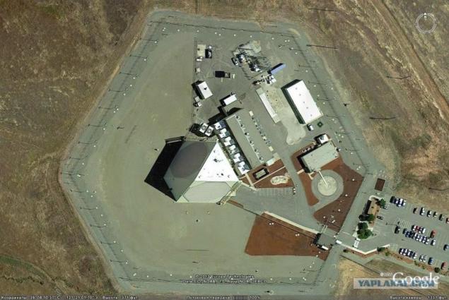
ABM radars airbase Bale
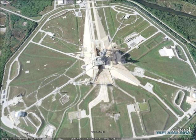
Kennedy Spaceport
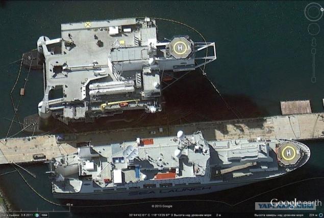
Complex "Sea Launch" Long Beach
As part of the US Navy on March 19, 2013 there were 284 ships and vessels of various types.
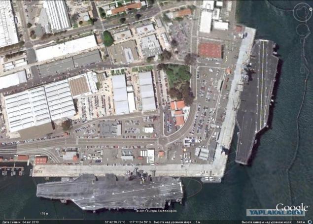
Nuclear multipurpose aircraft carriers of the "Nimitz" docked in San Diego
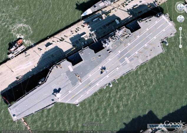
Atomic multipurpose aircraft carrier "Harry S. Truman" in Norfolk
Missile cruiser of the "Ticonderoga" and the destroyer "Arleigh Burke»
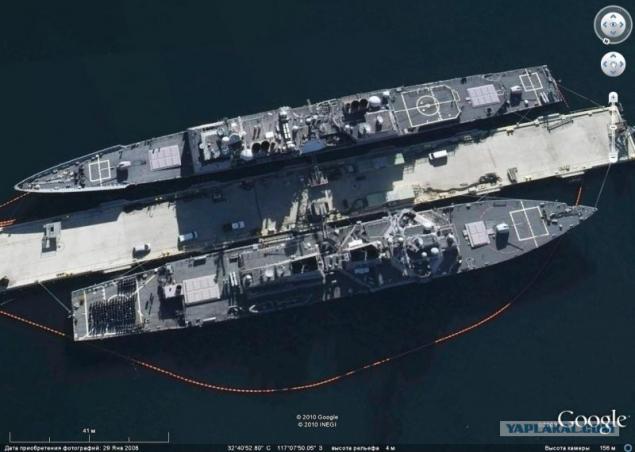
Amphibious assault ship
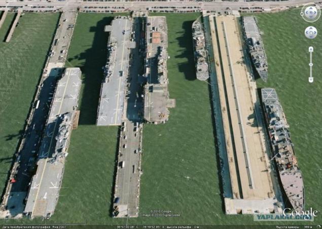
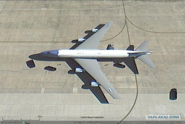
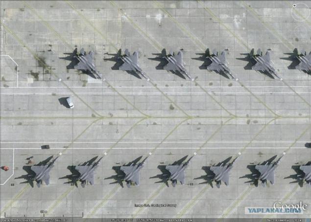
Using Google Earth on the ground, you can observe a variety of aircraft.
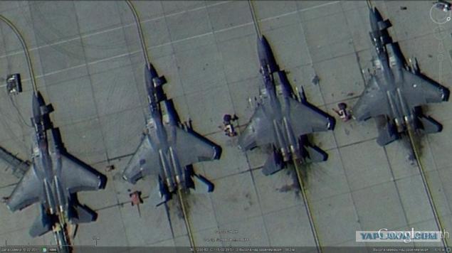
F-15E Seymour Johnson Air Force Base
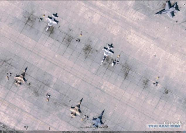
F-5N squadrons "aggressor" in Key West
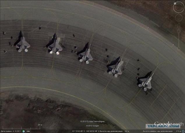
F-22A Air Force Base Elmendorf-Richadson
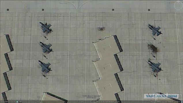
F-16s at Luke AFB
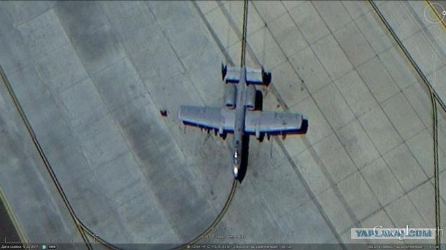
A-10 attack aircraft, Nellis Air Force Base
F-15C at Nellis AFB
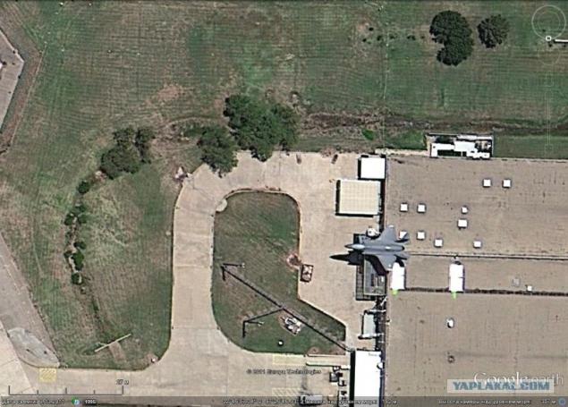
The F-35 at the factory airfield Fort Worth
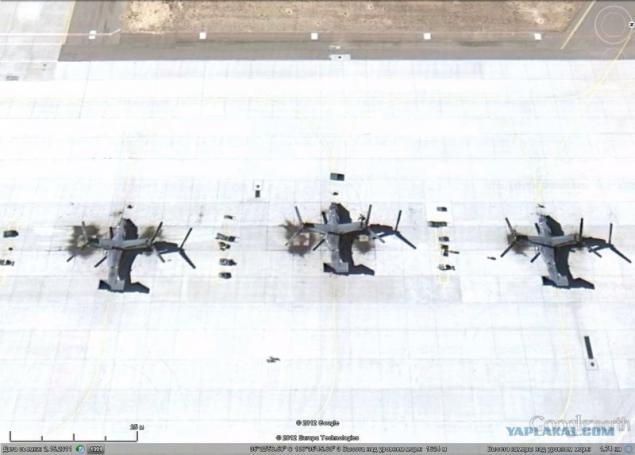
OV-10 at the airport Albuquerque
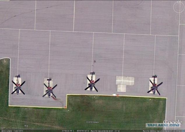
Attack helicopters AH-64 in Fort Knox
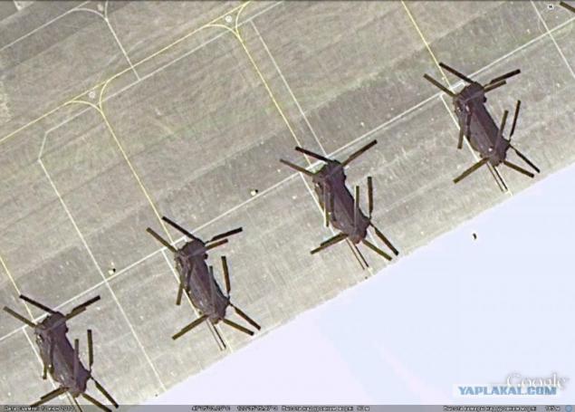
Tranfer CH-47 helicopters at Fort Lewis
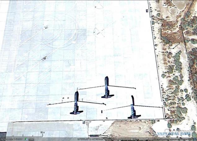
Global Hawk UAV at Edwards AFB
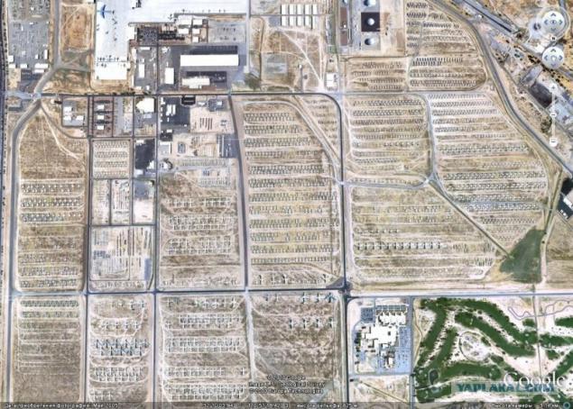
Center for storage of aviation equipment Davies Monte
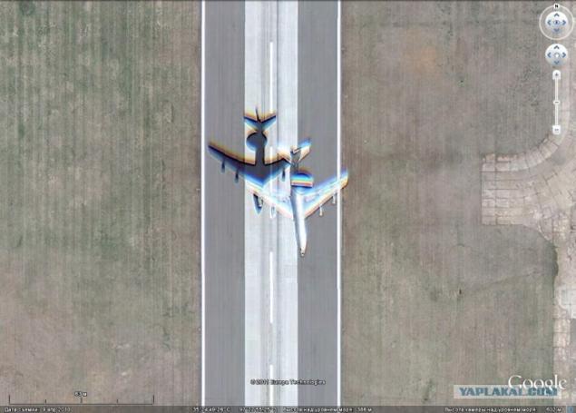
Some planes can be observed on the rise, in this case, the contours of the aircraft of the image will not much blurred.
Soaring E-3 AWACS
The technique of ground troops is easiest to study in places of permanent deployment, storage. Or at the manufacturer.
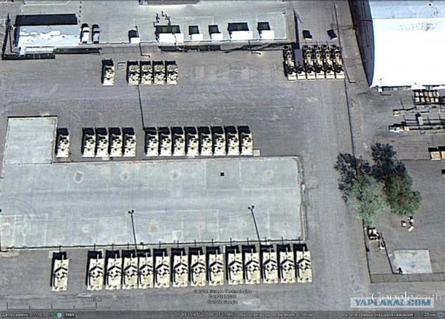
Armoured Fort Bliss
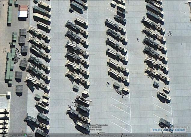
PU Patriot air defense system at Fort Bliss
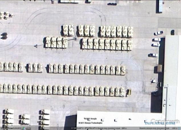
Abrams Fort Hood
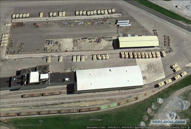
Tank production plant and modernization of Abrams in Lima, Ohio
Very interesting object for study is covered with numerous craters nuclear test site in the Nevada desert.
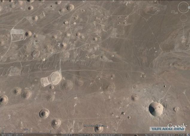
In the Air Force test site so everything is covered with craters.
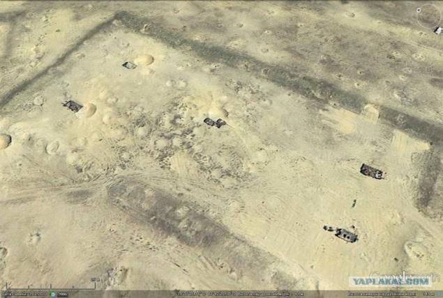
The targets set Soviet equipment
Posted in [mergetime] 1379347425 [/ mergetime]
This is just a small part of what can be found using Google Earth on the military installations located in different parts of the world.
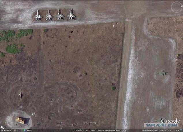
Few of our Motherland!
Base missile trains ...
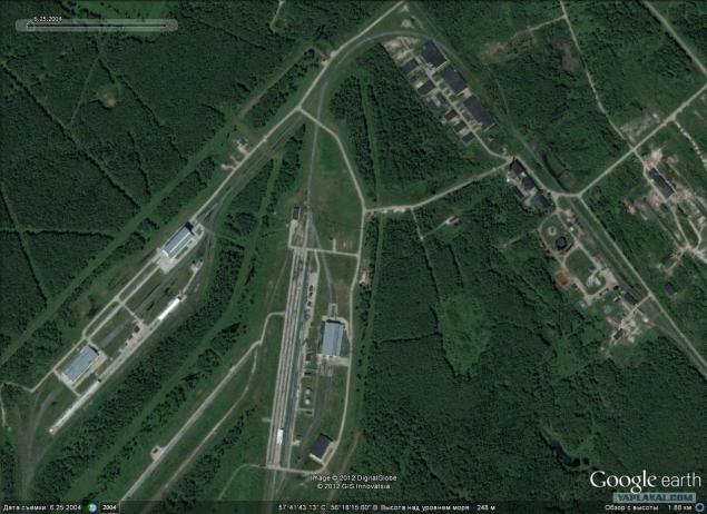
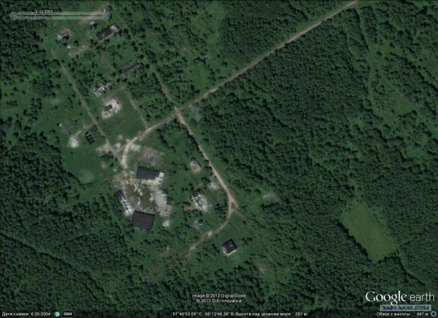
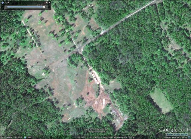
She also in 2011. - Everything is destroyed ...
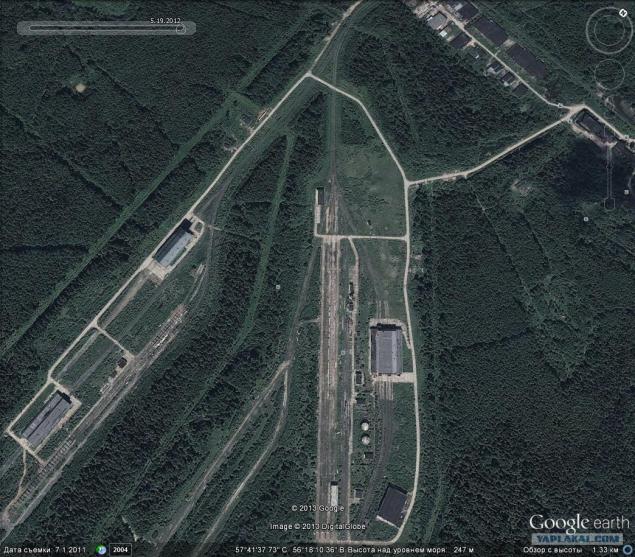
It is a former part of the Strategic Missile Forces, 2004.
The same piece in 2011.
Author: Author Sergei Linnik
Source: topwar.ru
myself a little bit.
EVERYTHING!
Source: ">