1018
Two weeks.
It has long been tormented by the idea to visit the sacred places of the northern peoples. Map beds so that fate had with people who have had the same thoughts. We packed up and went. There were nine: four of Peter, four of Ufa, and severe Chelyabinets. We met at the train station Ivdel. A chartered GAZ66 (shishiga) loaded, and moved 200 kilometers to the north - the confluence of the river and the river Losva Auspiya. From this point I began walking part of our adventure.
On the first day after going about 25 km along the river Auspiya, we got up at night and in the morning went on Dyatlov Pass. Judging by the description, somewhere here there was a tent group Dyatlov. (Please do not break the will of more than 30 photos)
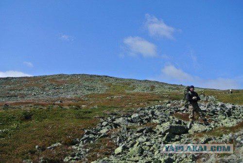
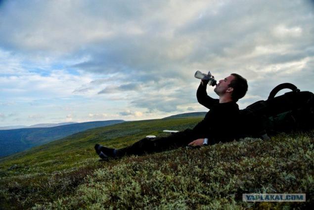
Coming to Stone Ridge Belt, we Polshi in the side of the mountain Otorten (do not go here - translated from hayteyskogo) On the way thirsty. The water in the springs delicious.
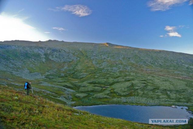
At the foot of Otorten Lunthusaptur beautiful lake (Lake lone goose) From it originates the river Losva.
After spending the night on the lake, in the morning we woke up to rain. Removing the camp, along the eastern slope Otorten went almost to the touch. Because of the fog the visibility was 10 meters By noon the fog cleared and the clouds appeared.
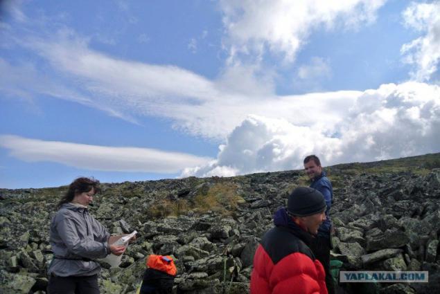
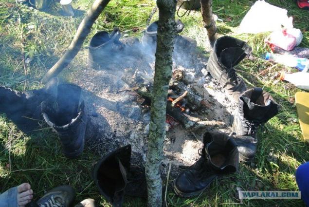
We walked, walked and walked. We were drenched by rain, but we still went. So dried clothes.
and gained strength.
Again we went.
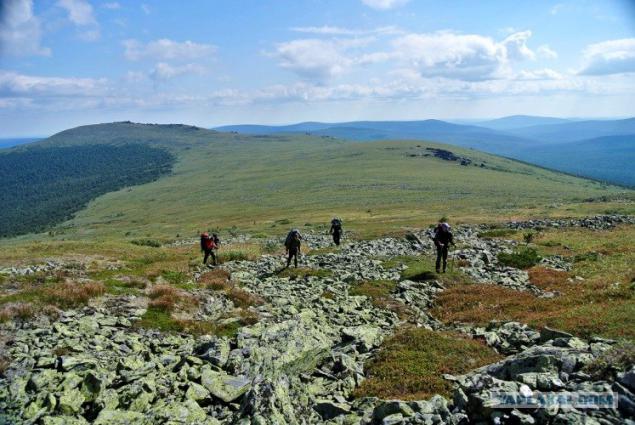
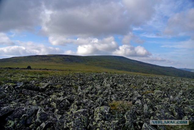
The sky and the horizon breathtaking
Far seen deer.
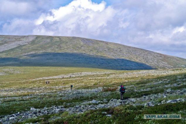
Graceful animals.
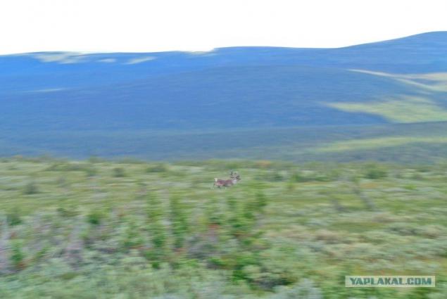
Oleg in the pen, best shot of his life
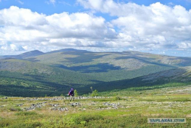
Still I did not find, but well-posed.
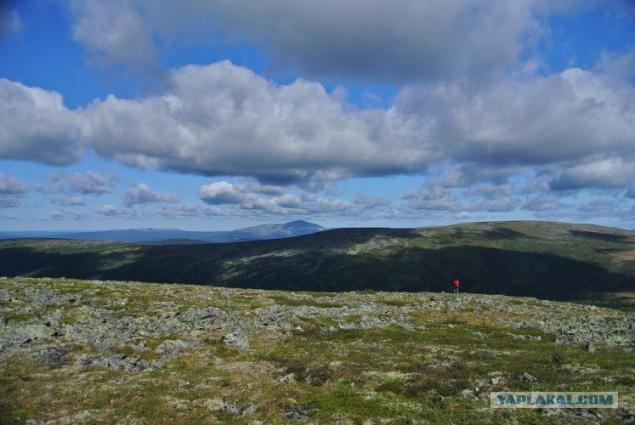
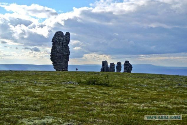
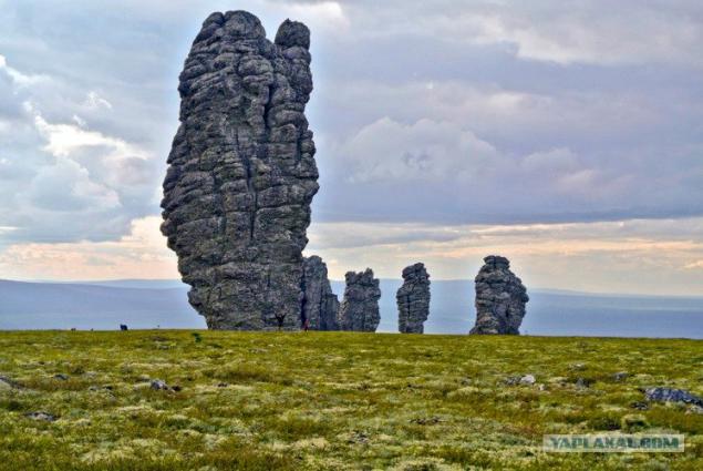
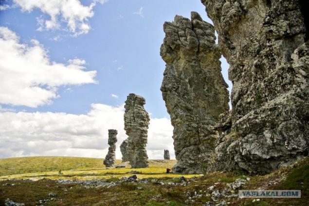
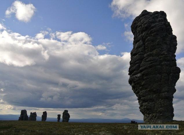
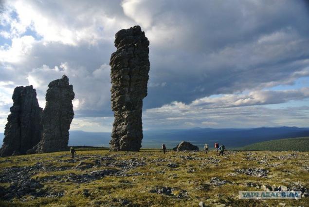
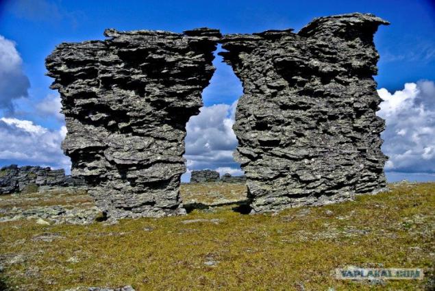
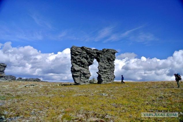
And the long-awaited navels!
Posted in [mergetime] 1359626455 [/ mergetime]
the height of the largest 42 meters. 35. just a little of their nine pieces on the plateau.
1.
2.
2.
2.
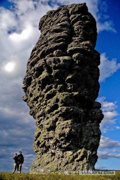
3.
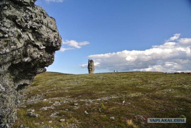
3.
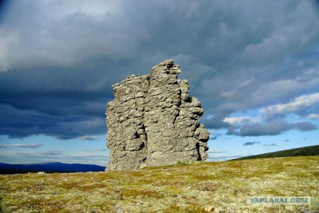
3.
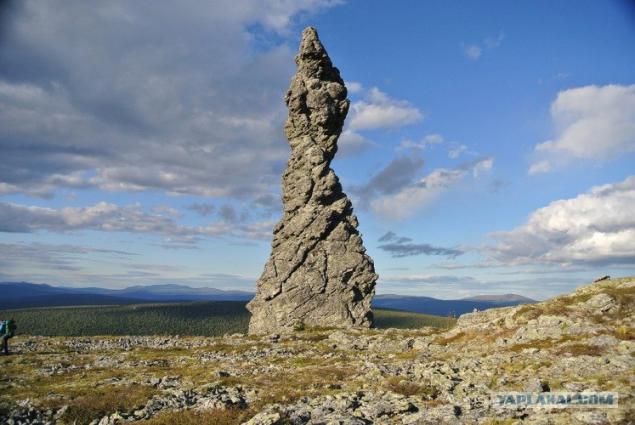
3.
3.
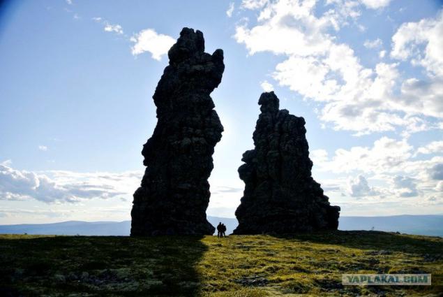
We spent the night some brook.
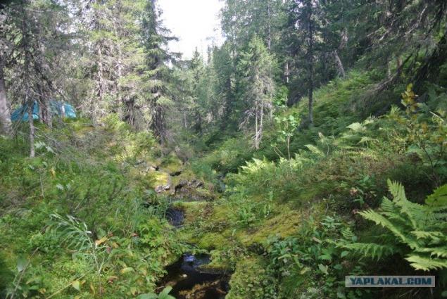
Morning, we packed up and moved back, but went to say goodbye navels.
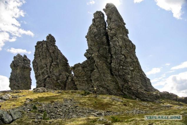
When we will come back here? I do not know, so long goodbye.
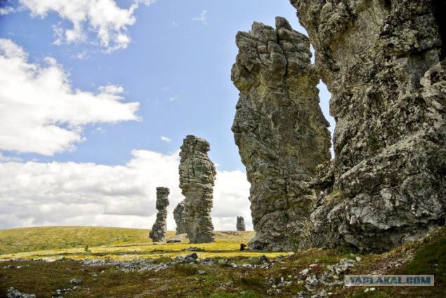
4.
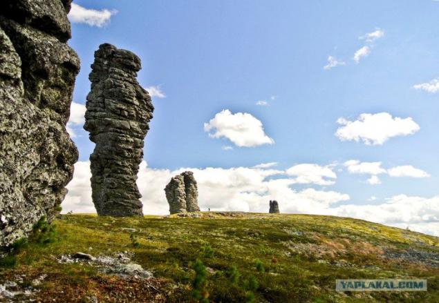
Oleg again in search of a better frame of his life.
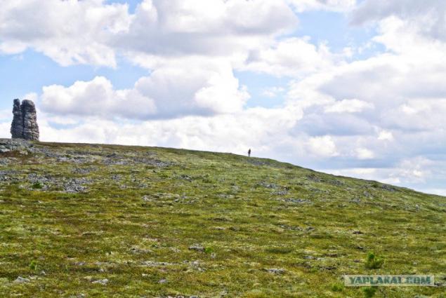
View navels from afar.
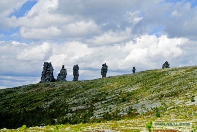
Small camp.
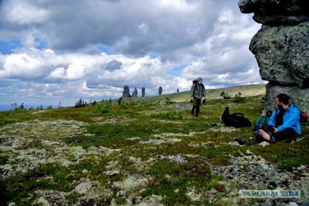
On the way back we went up to Otorten.
From the summit opened a crazy look.
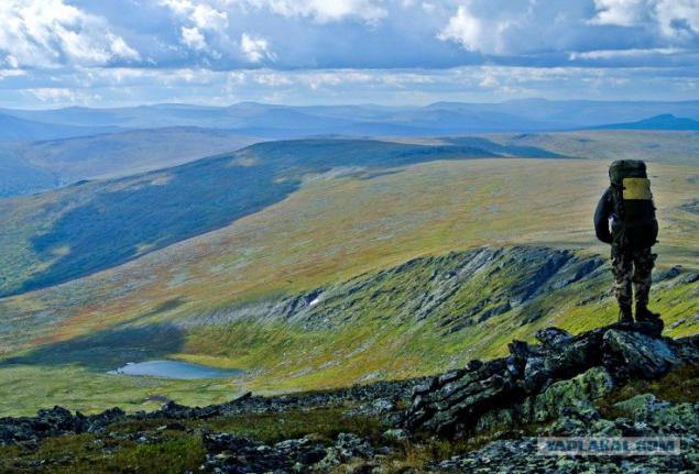
The top Otorten
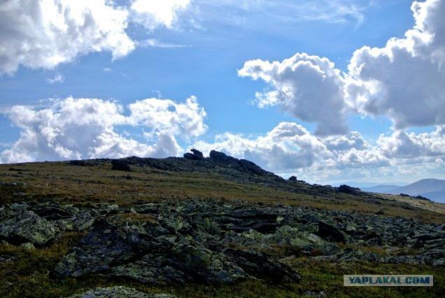
a little Otorten
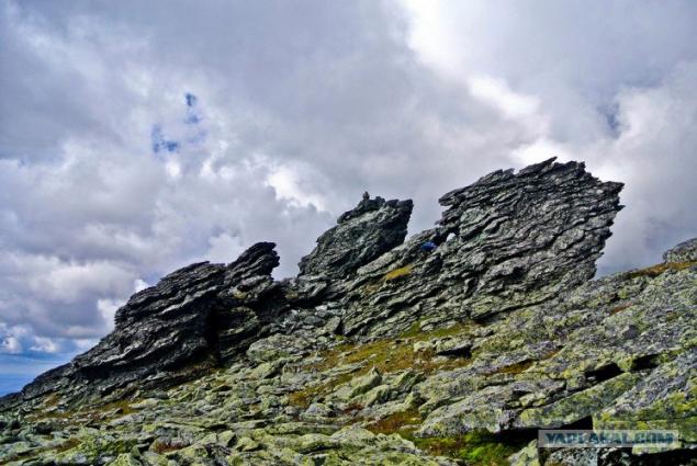
Homesickness. Wants to bathe, and sleep on the flat.
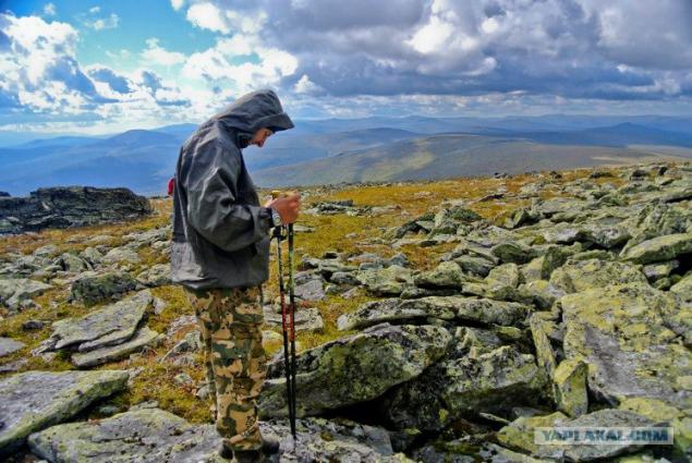
Comb Otorten
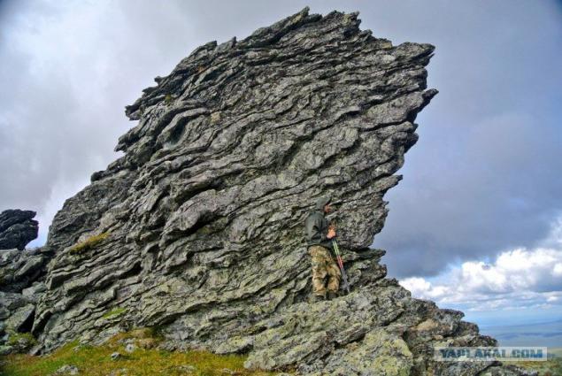
Go to the gate Otorten.
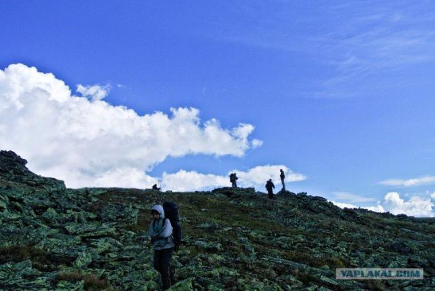
And here is the gate
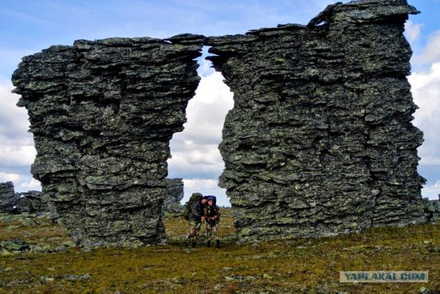
More gates
and
Before Dyatlov Pass another 30 kilometers, you have to go, but reluctantly.
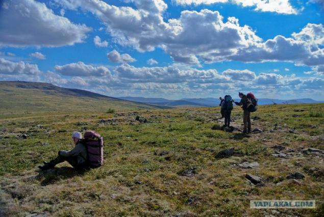
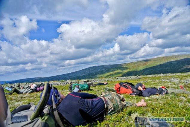
In general, the route was three positions: go eat sleep)
Berry was the sea! The feeling of hunger is not tormented, as it usually happens in campaigns. We moved on grazing: blueberries, blueberry, cloudberry, cranberry, cranberries, pine cone ... ate berries for a year!
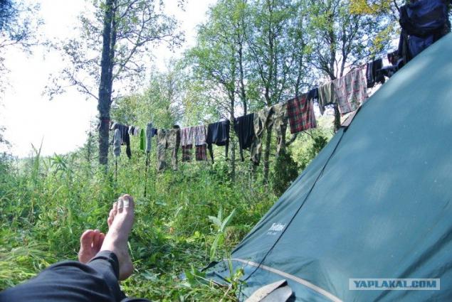
Reaching Dyatlov, we dropped down from the ridge, and stood in the parking lot. Hang things get dry.
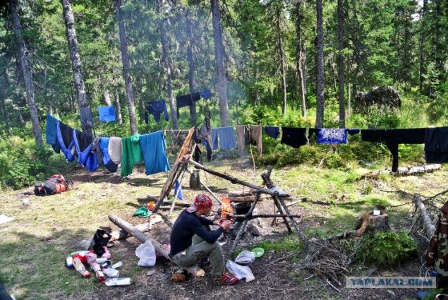
And I flooded bathhouse
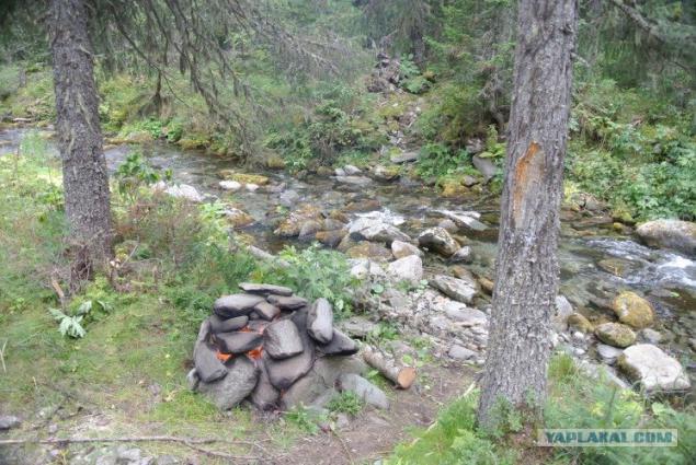
Can be summarized as follows: I can not say that I was impressed by the May doodles. They are beautiful, but they are only part of the northern Urals. Impressed entire northern Urals. His Nordic scenery, loose berries, moss, and the west wind.
For information: A total covered about 220 km. Clean running days were 8. Total in the mountains held 11 days. Makes three dnёvki for bath - dry clothes after the rains and rest.
Here useful waypoint:
Start walking part of the route
N61o42.533 'E59o47.216'
Parking at Cedars
N61o42.484 'E59o42.710'
A small grotto beside the path
N61o43.133 'E59o35.010'
Parking with a spoon
N61o44.370 'E59o28.316'
Dyatlov Pass
N61o45.300 'E59o26.736'
Waterfall in the tract Poritaytsori
N61o47.833 'E59o20.667'
Tract Poritaytsori
N61o47.706 'E59o20.716'
Otorten
N61o50.800 'E59o21.200'
Parking at the lake under Otortenom
N61o51.001 'E59o20.861'
Camp near a small stream
N61o53.655 'E59o23.043'
House gravel
N61o56.407 'E59o28.107'
The camp is on a tributary Manskoy Volosnitsy
N61o57.202 'E59o27.245'
Spring (dot unchecked)
N62o00.388 'E59o26.933'
Parking near the stream
N62o03.831 'E59o25.443'
Spring at the trails
N62o04.907 'E59o25.402'
Yanyvondersyahal
N62o07.495 'E59o24.573'
Sign of the Europe-Asia
N62o11.945 'E59o26.616'
Source Pechora
N62o12.258 'E59o25.875'
The camp is on the Pechora (on the verge of Vologda)
N62o12.120 'E59o21.075'
If interested, there are reports on the southern Urals, the Caucasus, walking on the water rapids, caves and cool photos. I can lay out. That's all. Take care of yourself, and more walk in the mountains - they are beautiful!
Source: http: //