2394
Fantastic photos with an artificial earth satellite
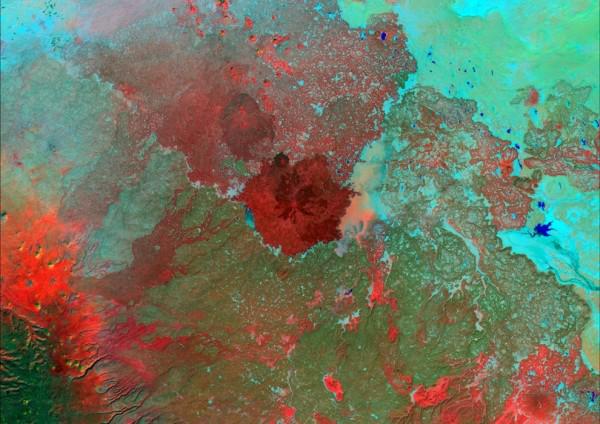
What you see in this material - not pictures of distant planets. This is our familiar to all, the Earth. These photos were taken at different times of the satellite Landsat 7 - the latest satellite program, launched in 1999, the year.
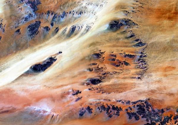
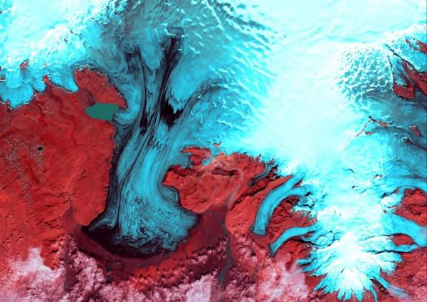
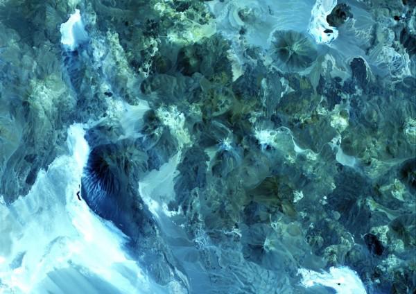
In fact, the original image colors are not as bright, and sometimes even not at all like that. Employees of the US Geological Survey, which control the distribution of images, change the color for more severe and some dramatic photos.
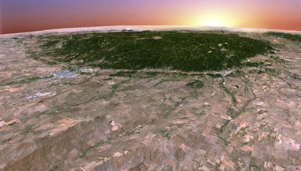
3D-picture of the mountains of the Black Hills, South Dakota, USA.
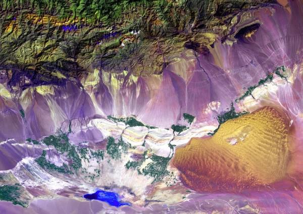
Bogda Mountains in China. At the foot of these mountains is a strange area, which alternates between sand dunes and salt lakes. Another feature - the whole territory is located below sea level.
Argentine Atlantic coast a few hundred kilometers from Buenos Aires.
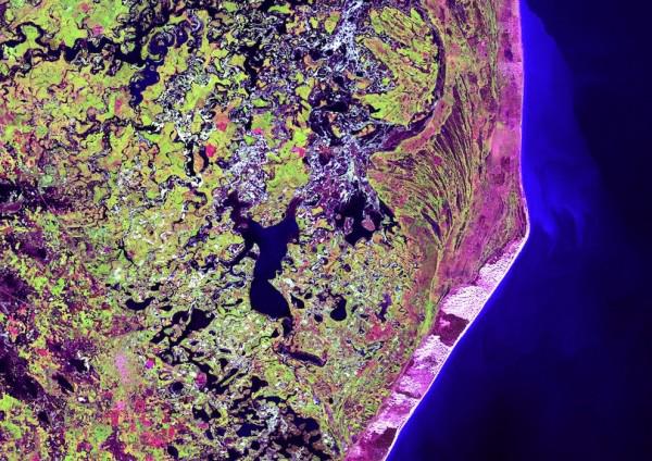
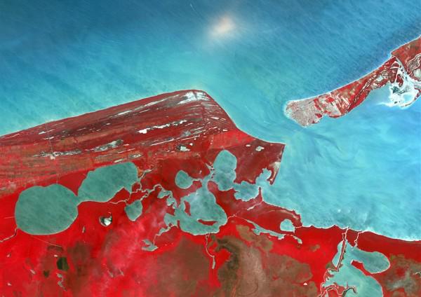
Of Mexico's Yucatan Peninsula. Terminos large lagoon protected from the Caribbean Long Isla del Carmen.
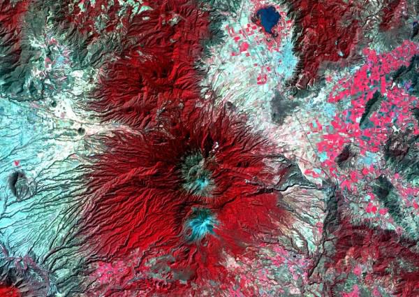
Snow-covered volcano of Colima is the most active in Mexico and, in fact, represents a fusion of the two craters - the older and younger.
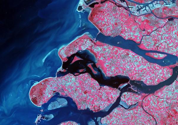
The southern coast of the Netherlands is a complex system of channels and islands, most of which - the sand dunes in the past. Such a system is created to the North Sea is not covered by a significant part of the European states, which is below sea level.
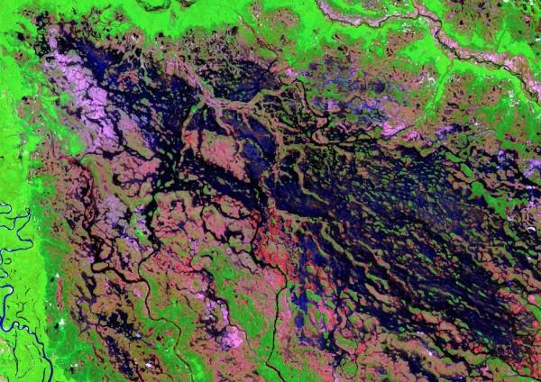
Marshland in line with the Brazilian Demin River, a tributary of the Amazon later.
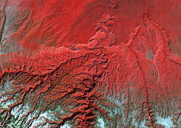
River Green River flows through Tavaputs plateau and into the dull Canyon, Utah, USA.
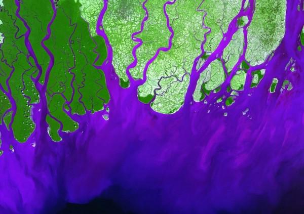
Delta of the Ganges River, which flows into the Bay of Bengal, is home to the Royal Bengal tiger.
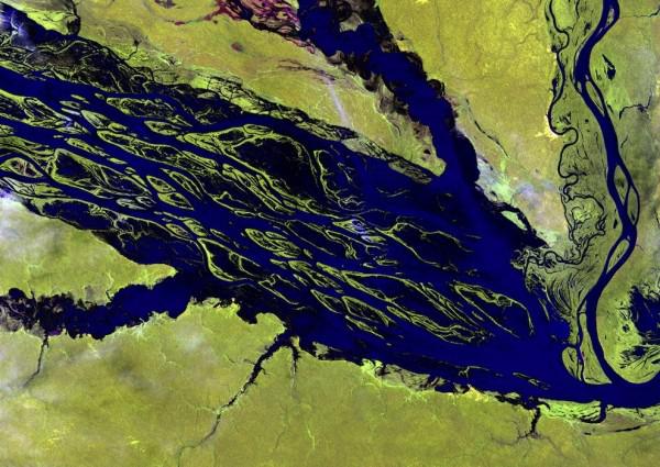
Negro River in the Brazilian Amazon. It is the largest tributary of the Amazon. During the rainy season most of the islands disappear under its waters.
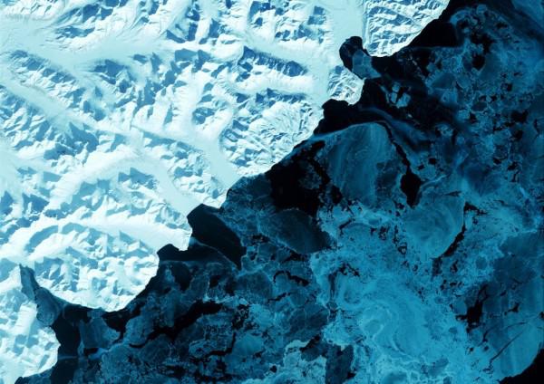
Restless volcanoes teeming eastern Kamchatka peninsula is covered with snow. In the photo to the right in the Bering Sea ice.
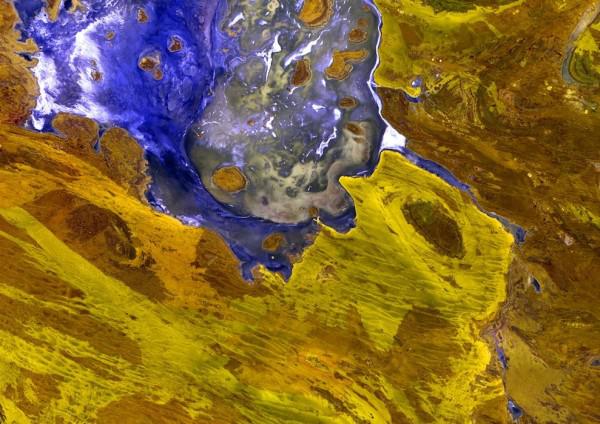
Annual salt lake Lake Disappointment in Western Australia. Translated - disappointment. When the researcher Frank Hann saw many streams - he hoped to find a lake with drinking water. But was disappointed when he learned that the lake is salty.
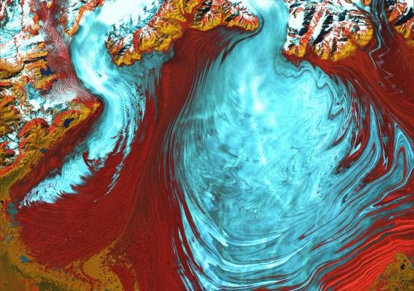
The largest glacier in Alaska Malaspina and his tongue.
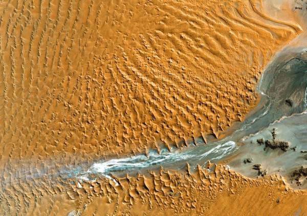
Namib Desert, Namibia, Africa. Here, thanks to the coastal winds, are the highest dunes in the world (300 meters).
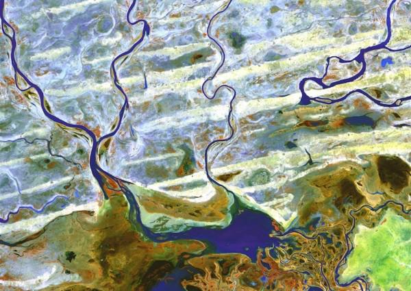
Niger Delta, Central Africa.
Syrian desert - a bright spot on the physical map of the Middle East. Despite its small size, it is part of the four states at once.
For the landscape of the Sahara desert, near the oasis Cherkezia in Chad, is characterized by rocky ledges to the surface.
Icelandic National Park "Skaftaffel" in the southern part of the glacier Vatnayokutl.
Volcanoes of the vertices in the form of cones along the border of Chile and Argentina. The total number of volcanoes - about 1,800, of which about three dozen are active.
Volga delta, which flows into the Caspian Sea is the largest place of fisheries in Eurasia, thanks to more than five hundred channels.
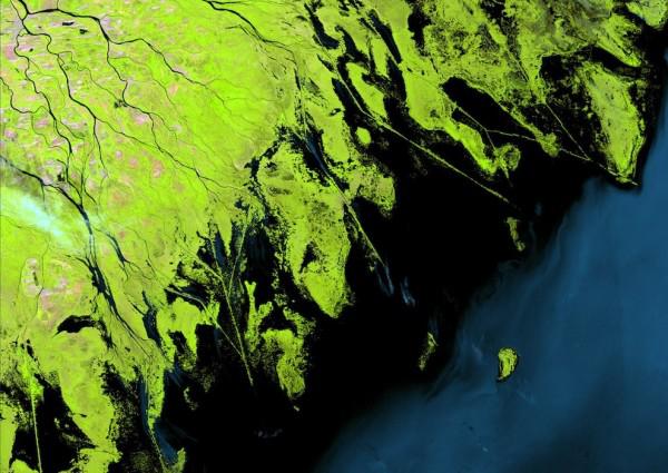
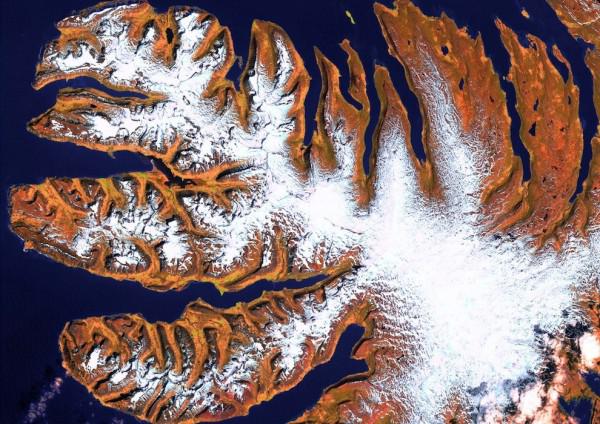
The northwestern part of the island of Iceland is made up of a series of peninsulas, called the Western Fjords. They make up about 1/8 th of the total land area of the island, but occupy half the coastline.